

Classic Maps and Prints
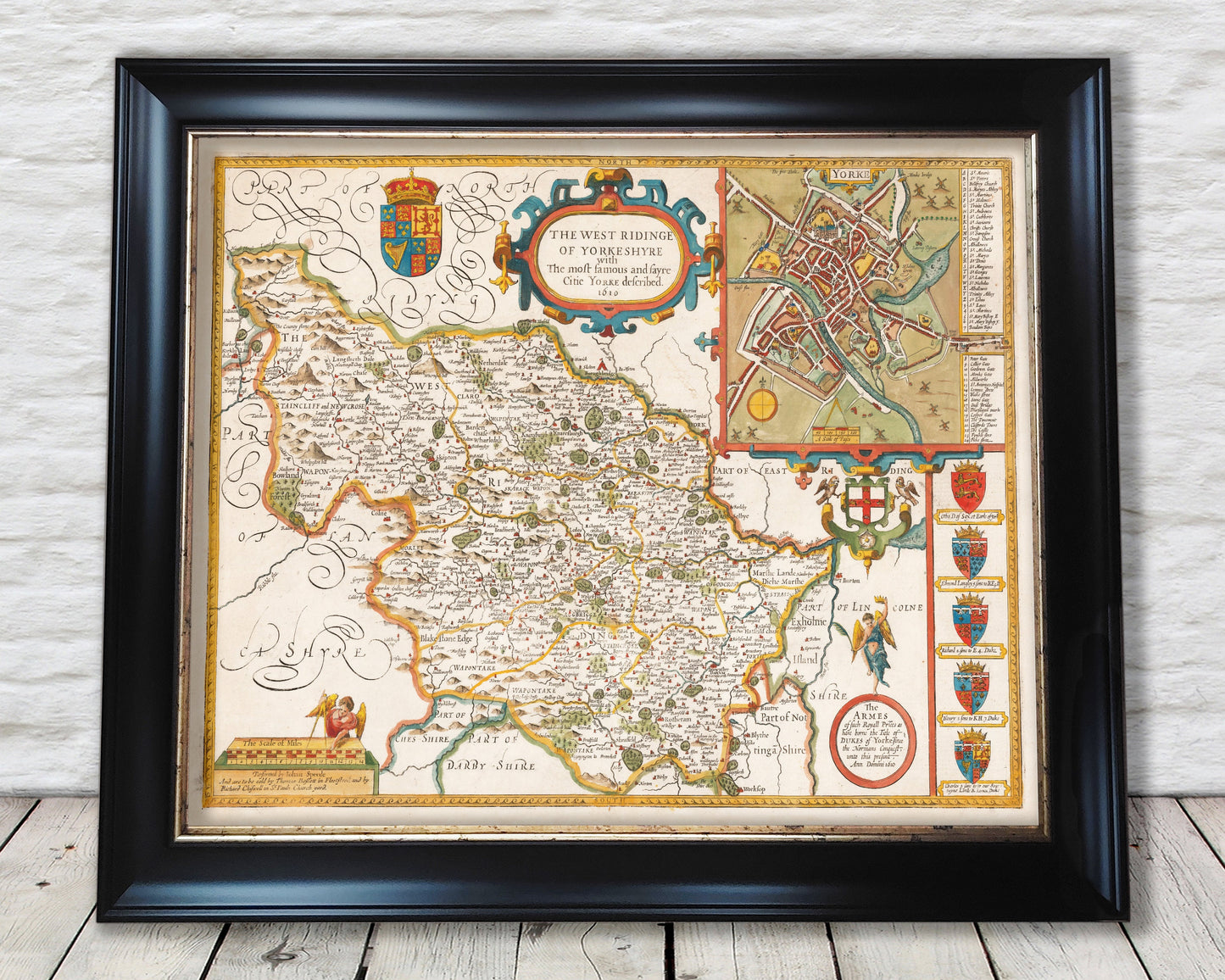
West Riding of YORKSHIRE Vintage Map by John Speed 1610 Leeds Bradford
West Riding of YORKSHIRE Vintage Map by John Speed 1610 Leeds Bradford
Couldn't load pickup availability
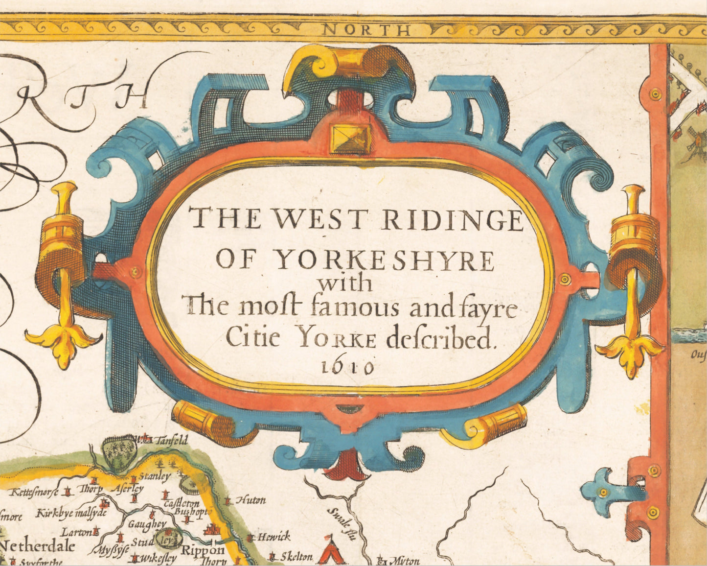
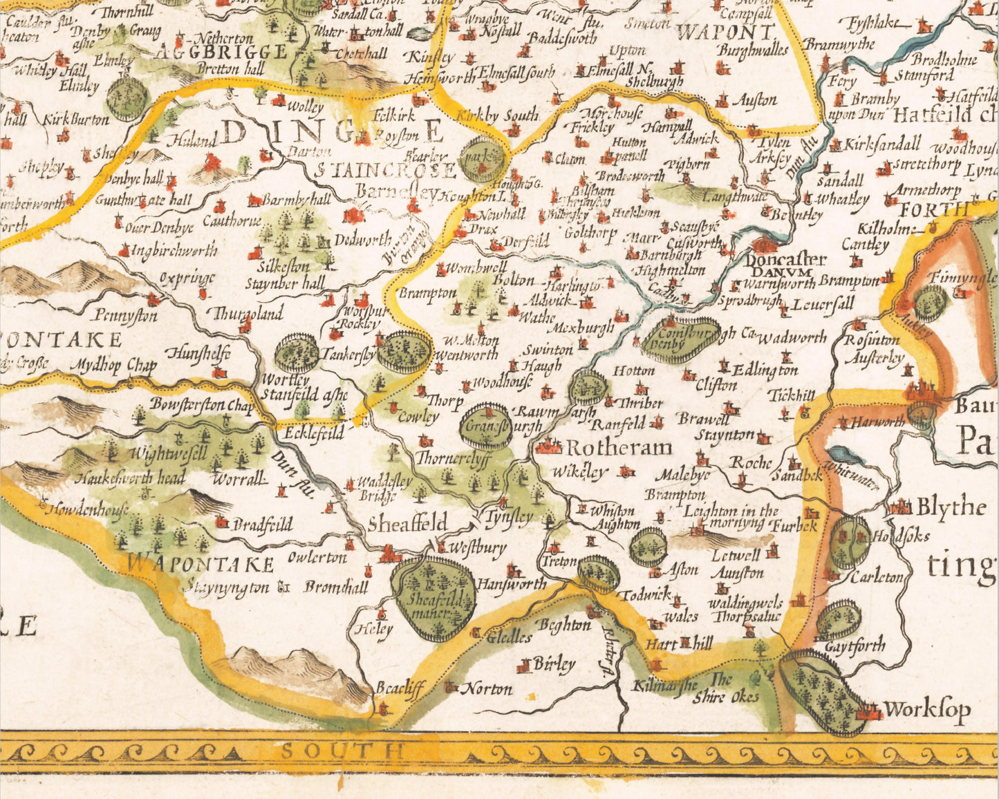
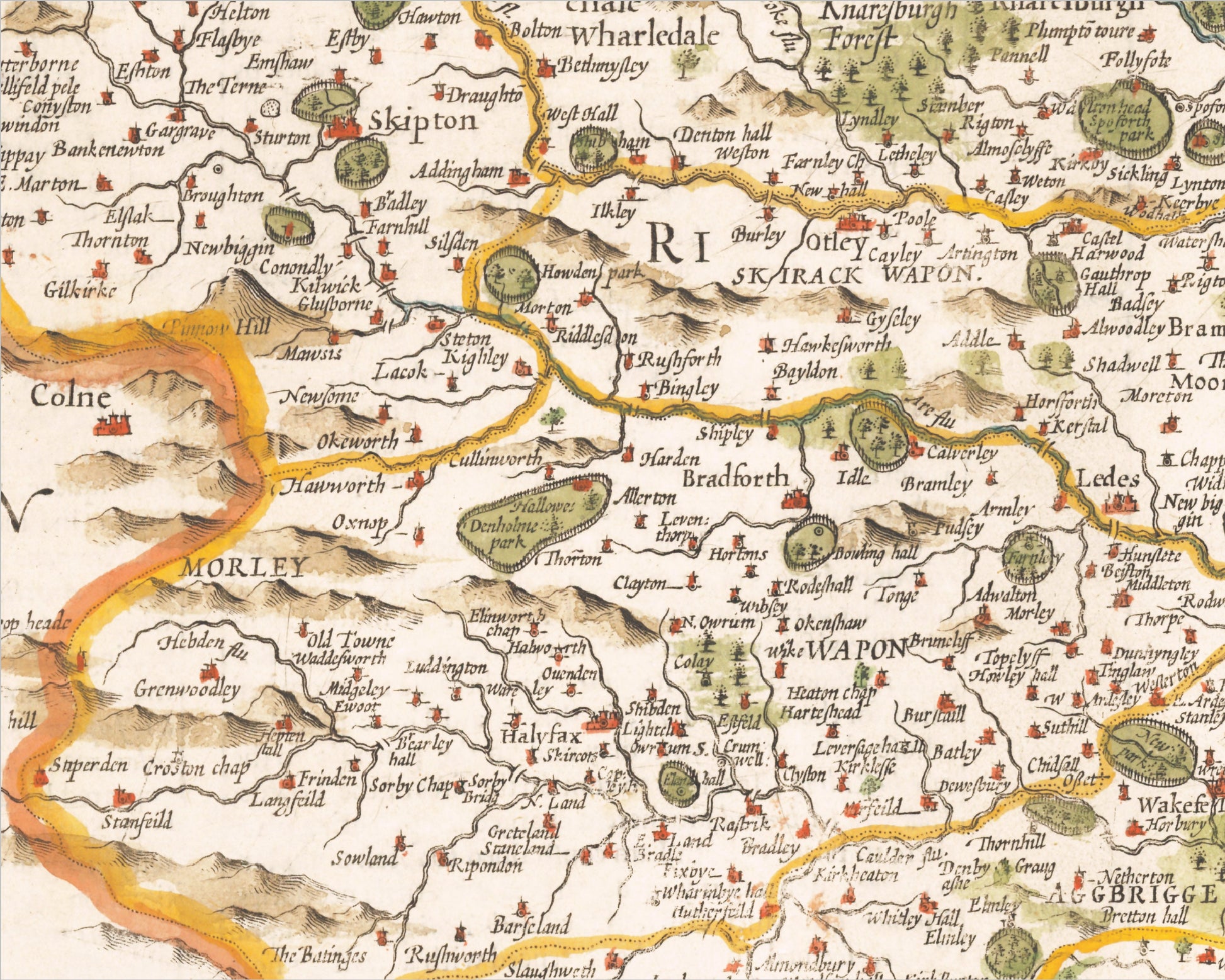
This classic piece was produced by John Speed the best known mapmaker of the Stuart period. It is a wonderful example of a decorative county map that was produced over 400 years since. This is an antique reproduction of the original hand coloured map and therefore each original map is in itself unique. Place name spellings are in Olde Worlde Englyshe and it is interesting note these differences. The borders of the West Riding were far broader and wider than the present day West Yorkshire. It included towns/cities of Sheffield, Doncaster, Barnsley and Rotherham now in the "new" county of South Yorkshire. Similarly Ripon, Knaresborough, Skipton, Settle and others which now form part of North Yorkshire.
This beautiful antique reproduction would look stunning when mounted and would form a striking centrepiece to any room.
This map has been digitally cleaned to remove most of the marks and signs of ageing though it is faded in a few small places but is a strong print overall as represented by the images.
Features:
-------------
• A detailed geography of the hills, rivers and forests within West Riding of Yorkshire in the early 17th century
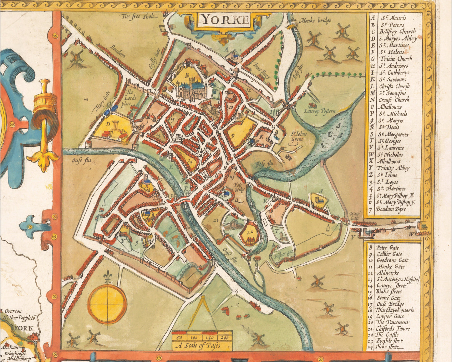
• A plan of the city of York including a key detailing the many churches and gates (see above)
• Crests of Arms of the former Dukes of York (for those interested in Heraldry)
• A crisp and clear digitally cleaned print of this classic work on heavyweight premium paper using the highest quality inks
Share