Classic Maps and Prints
Vintage COGNAC wine region Map, Cognac France map 1938
Vintage COGNAC wine region Map, Cognac France map 1938
Couldn't load pickup availability
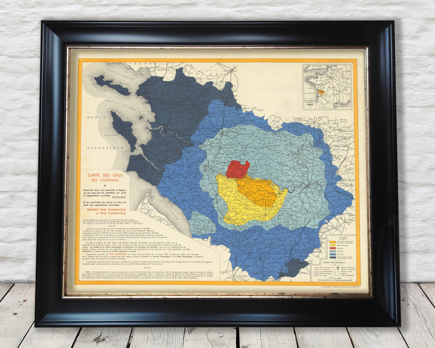
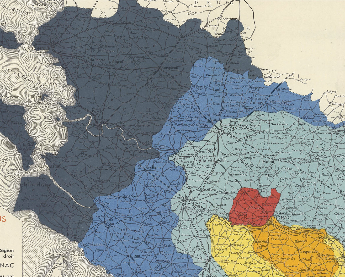
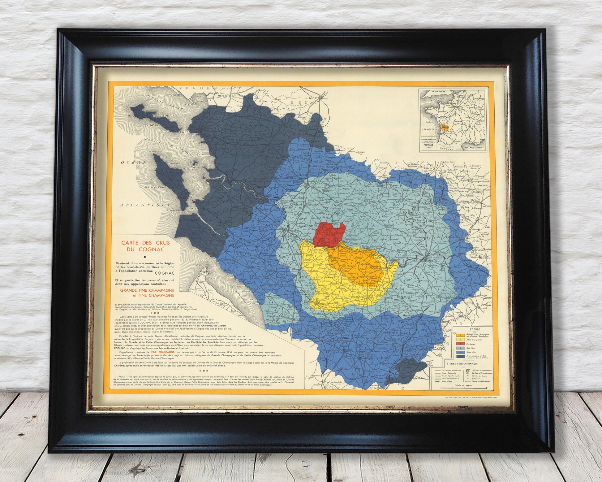
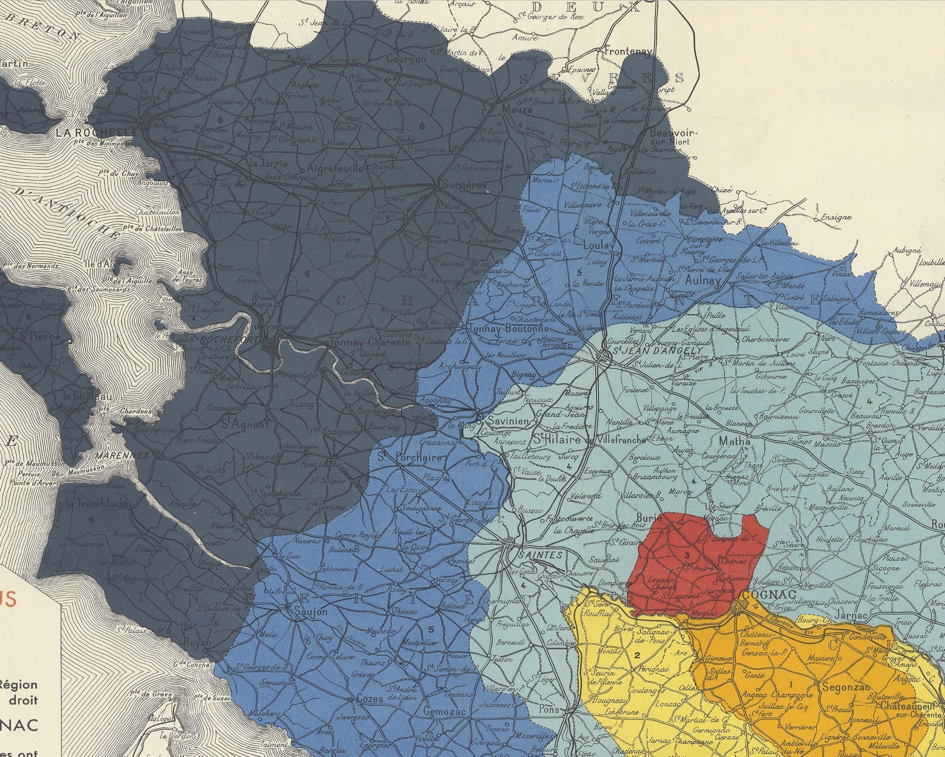
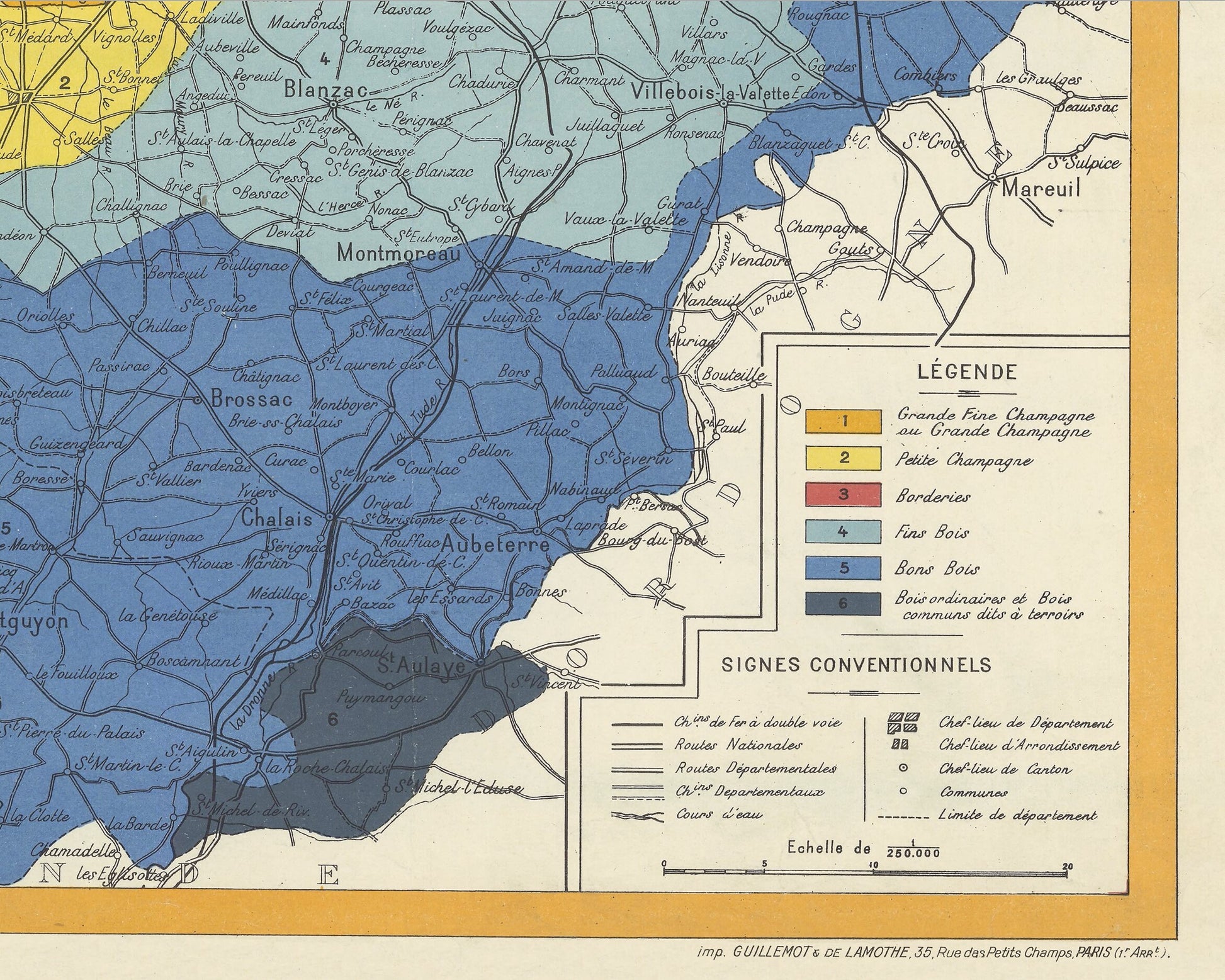
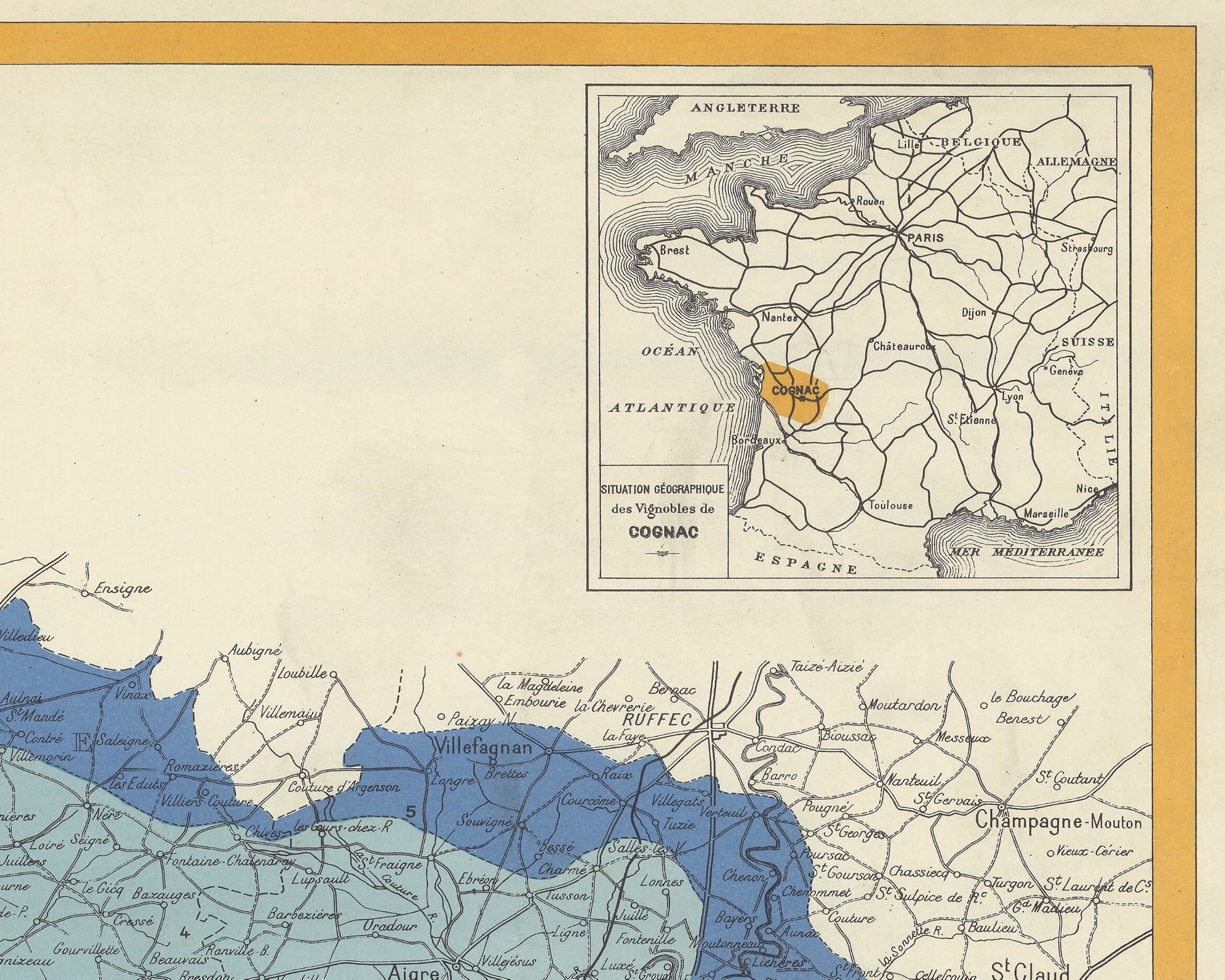
This fine vintage map shows the growing region of Cognac in southwestern France, highlighting the different "Cru" classifications for the wine.
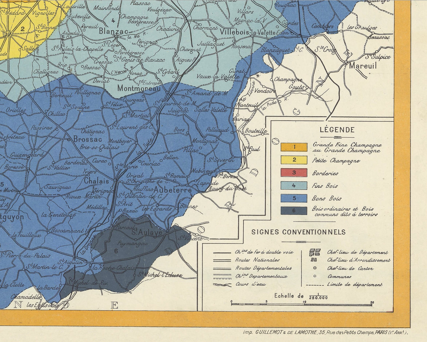
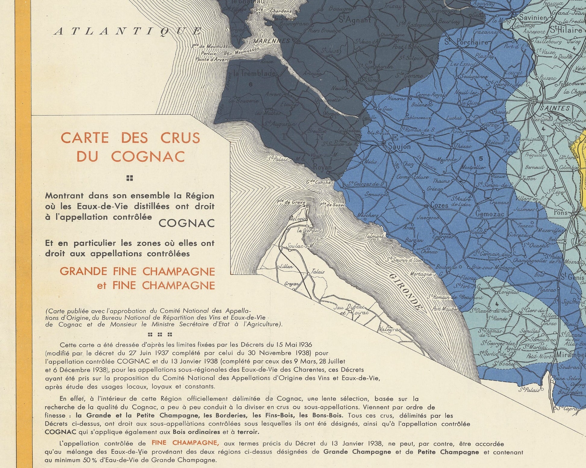
The map stretches from Bordeaux and the Gironde northwards to the Ile de Re and La Rochelle. The map shows the six Cru classifications. These start from Grande Champagne, at the centre of the region and expand outwards to the lesser regions. These regions are determined by the soils and microclimates, with the best regions having limestone and the worst regions having sandy maritime climates.
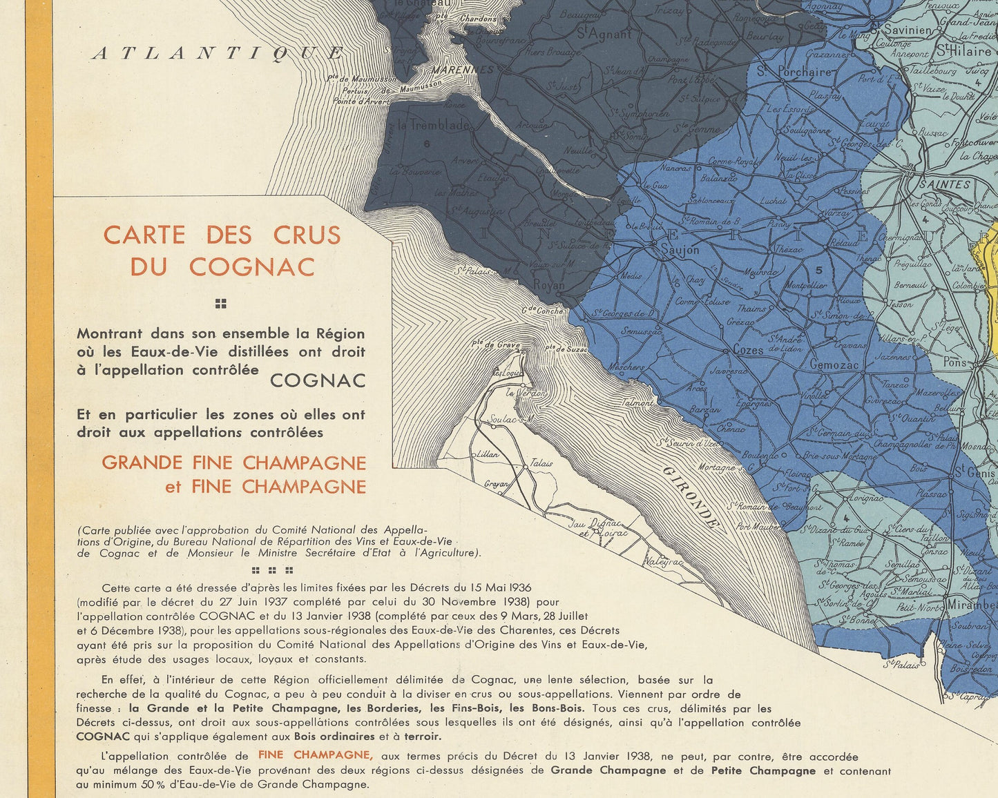
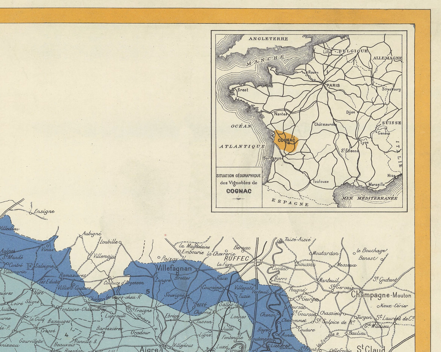
The map includes a history of cognac appellation in the lower left and an inset map of France in the upper right.
This map was printed in Cognac by A. Bidoit and Sons.
This is a highly sought-after work and is sure to form an interesting conversation piece to any living room. This piece looks stunning mounted as shown in our 20" x 16" framed edition.
Share
