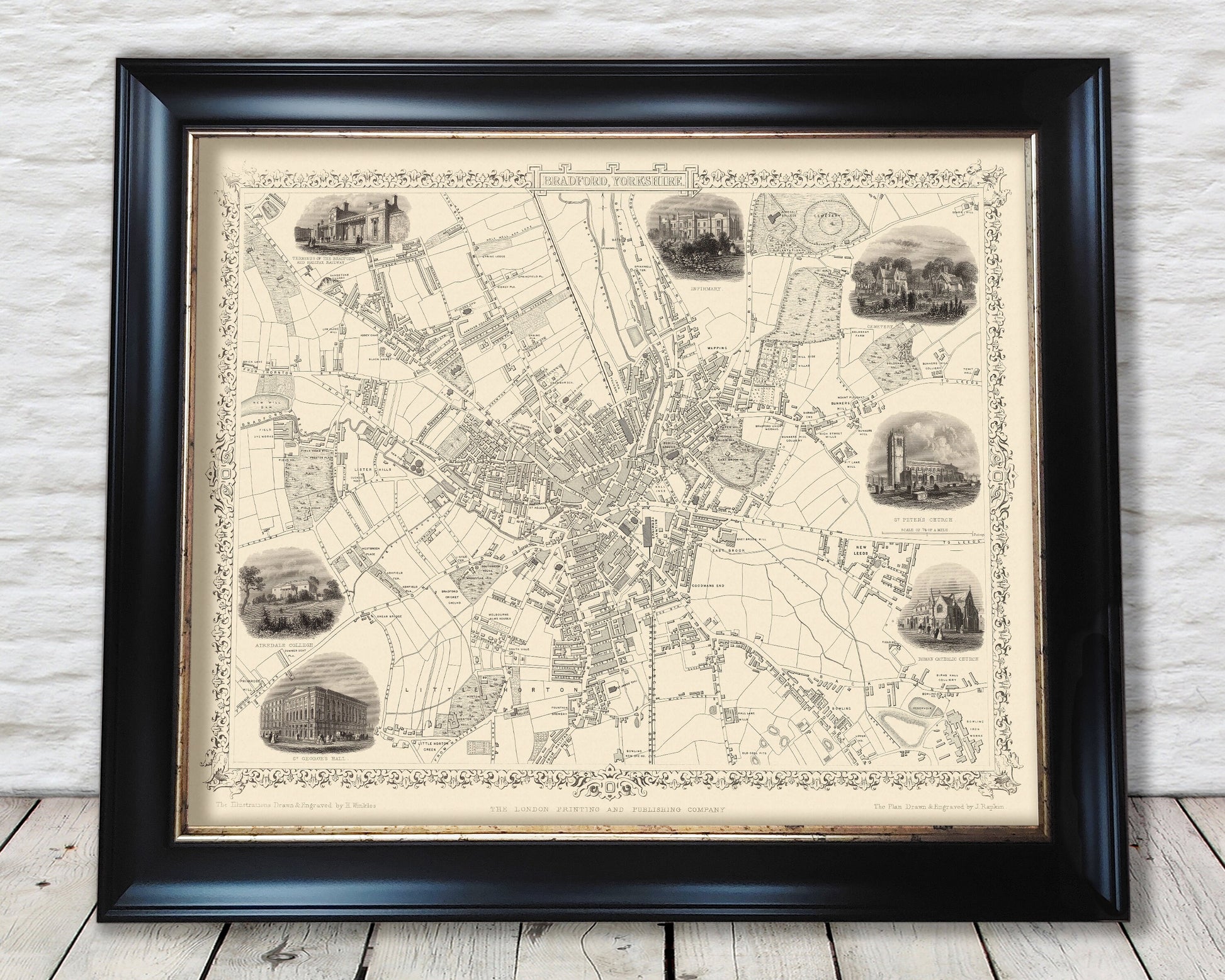
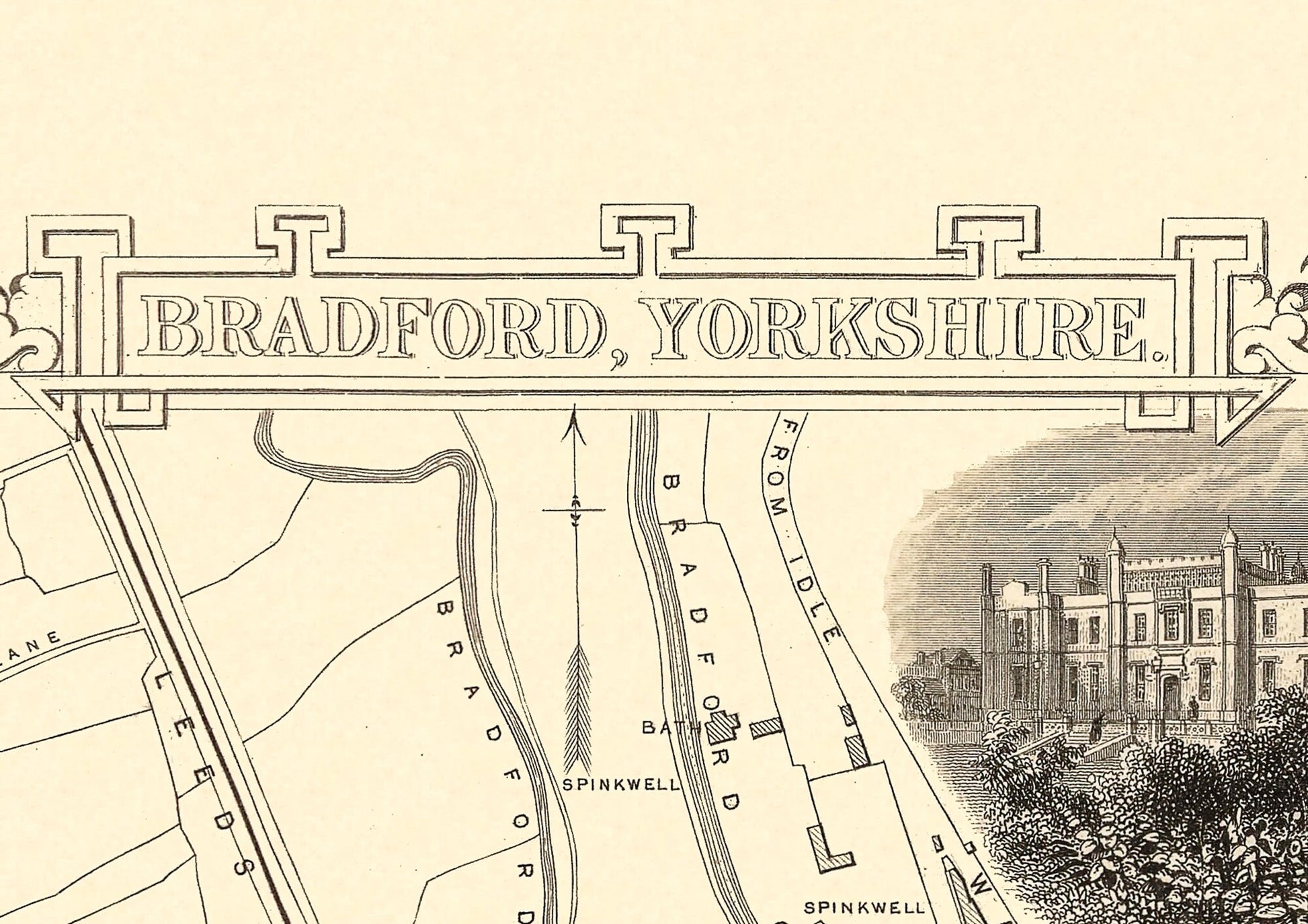
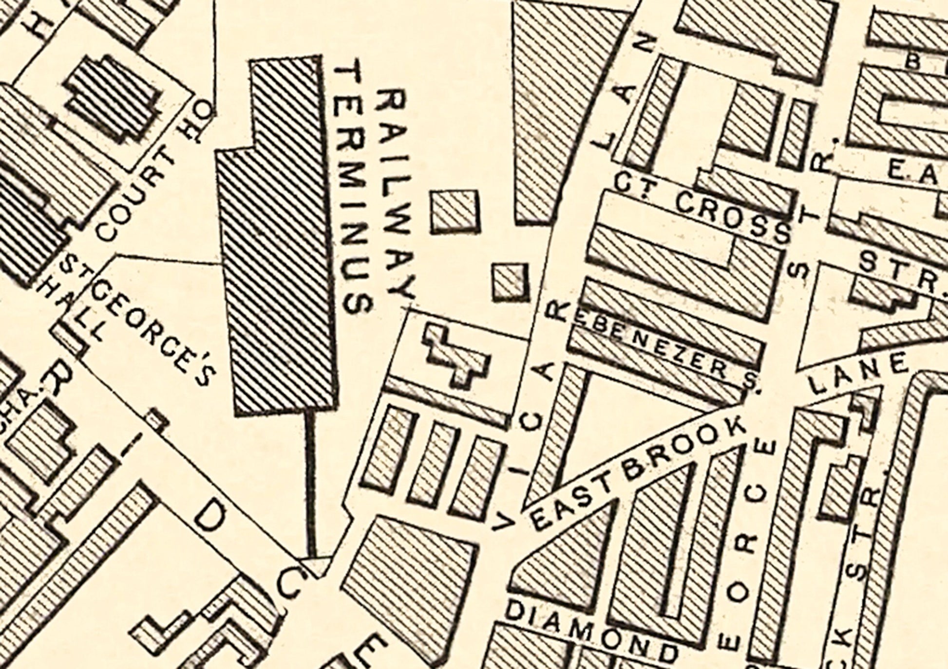
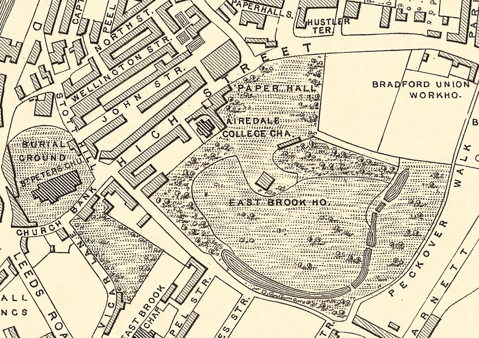
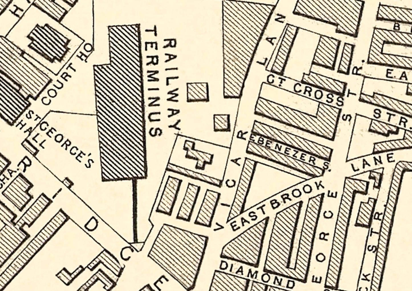
This striking piece was created by the renowned artisan and engraver John Rapkin. This 1851 work pre-dates the building of the current town hall completed in 1873 and was before Bradford gained its city status in 1897. It features two railway stations. Drake Street station was completed in 1850 (later to be called Bradford Exchange) on the York & Lancashire Railway with services towards Halifax and beyond. The Leeds & Bradford Railway terminated at Kirkgate in Bradford and was the first station opening in 1846.
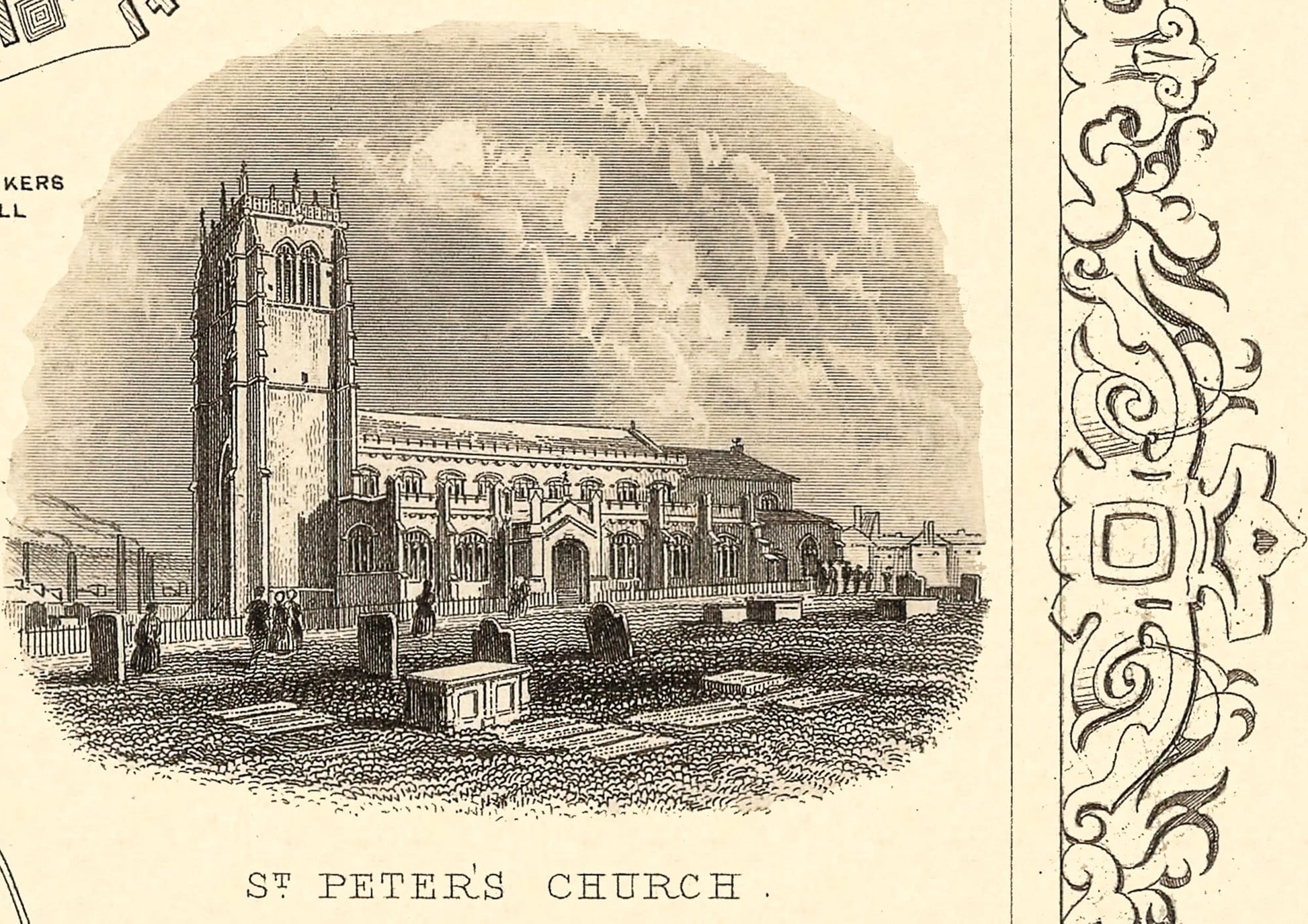
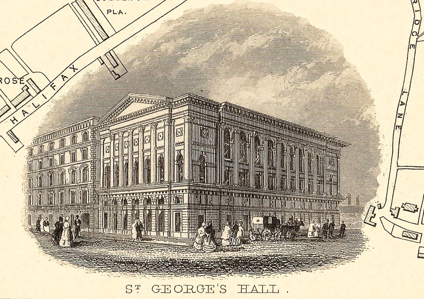
This highly detailed map also features St Peter's Church (later to become Bradford Cathedral), St George's Hall, the Bradford Canal, Eastbrook Chapel and the Bradford Union workhouse amongst many others. Bradford is starting to flourish as the heart of the woollen-based textile industry.
This piece has been digitally cleaned in order to remove blemishes and most signs of ageing but keeps the look, feel and integrity of the original.
A classic work that creates a centrepiece for any home and would look stunning framed . The print is produced on premium heavyweight 230 gsm paper and uses finest quality inks that will not fade or smudge.
Features: ------------- • Seven wonderful vignettes towards the edges of the map including St. George's Hall, Bradford and Halifax Railway terminus, St. Peter's Church, Undercliffe Cemetery, and Bradford Infirmary • A beautiful border embellishment and title of Bradford, Yorkshire • A clean, crisp detailed map of Bradford lovingly restored