Classic Maps and Prints
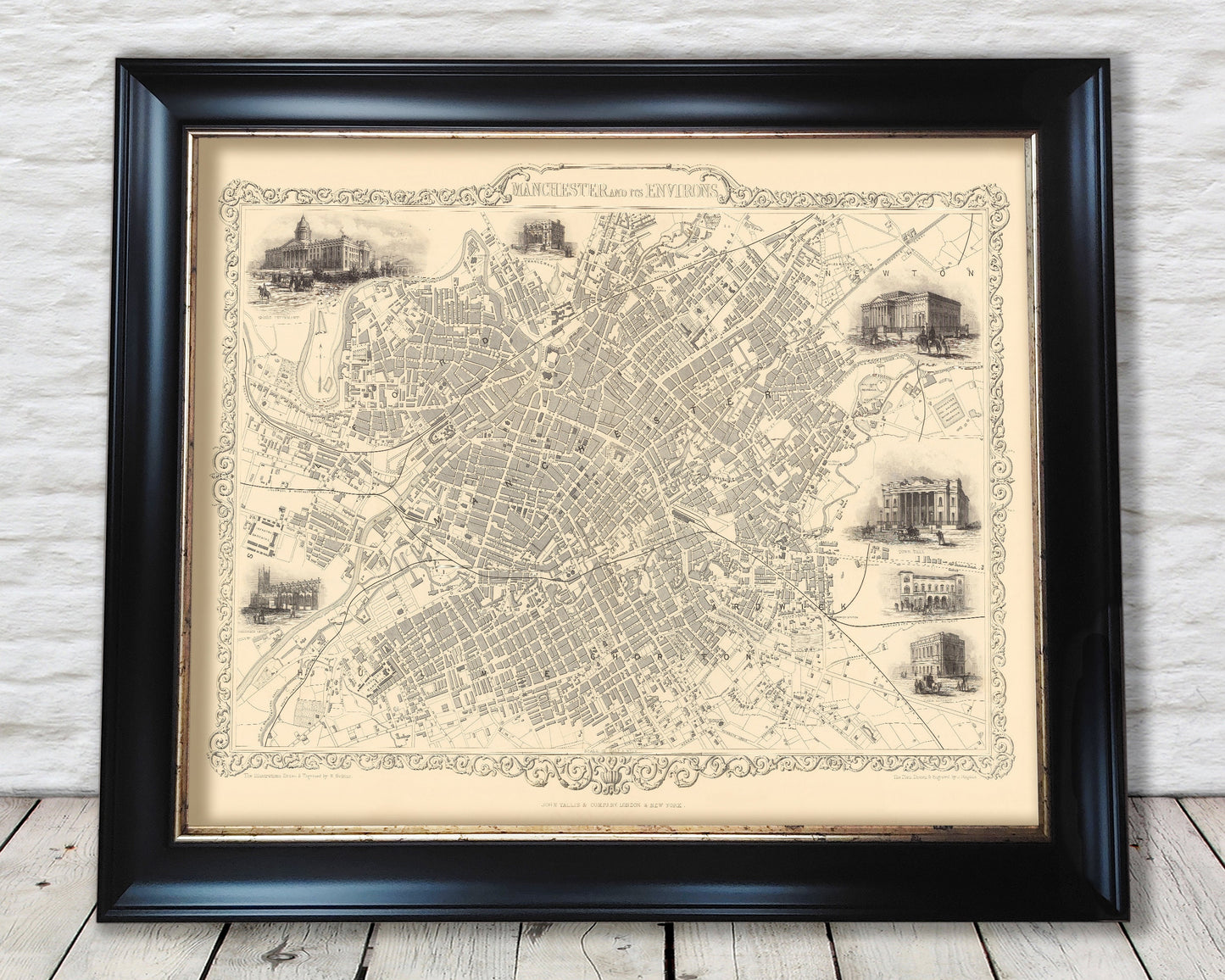
Victorian MANCHESTER and its Envrions map 1851 John Tallis
Victorian MANCHESTER and its Envrions map 1851 John Tallis
Couldn't load pickup availability
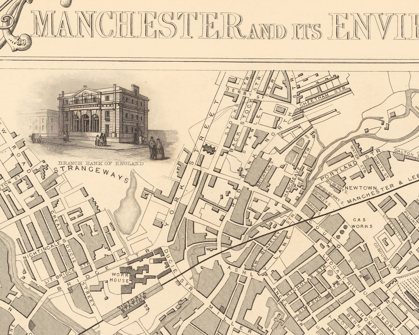
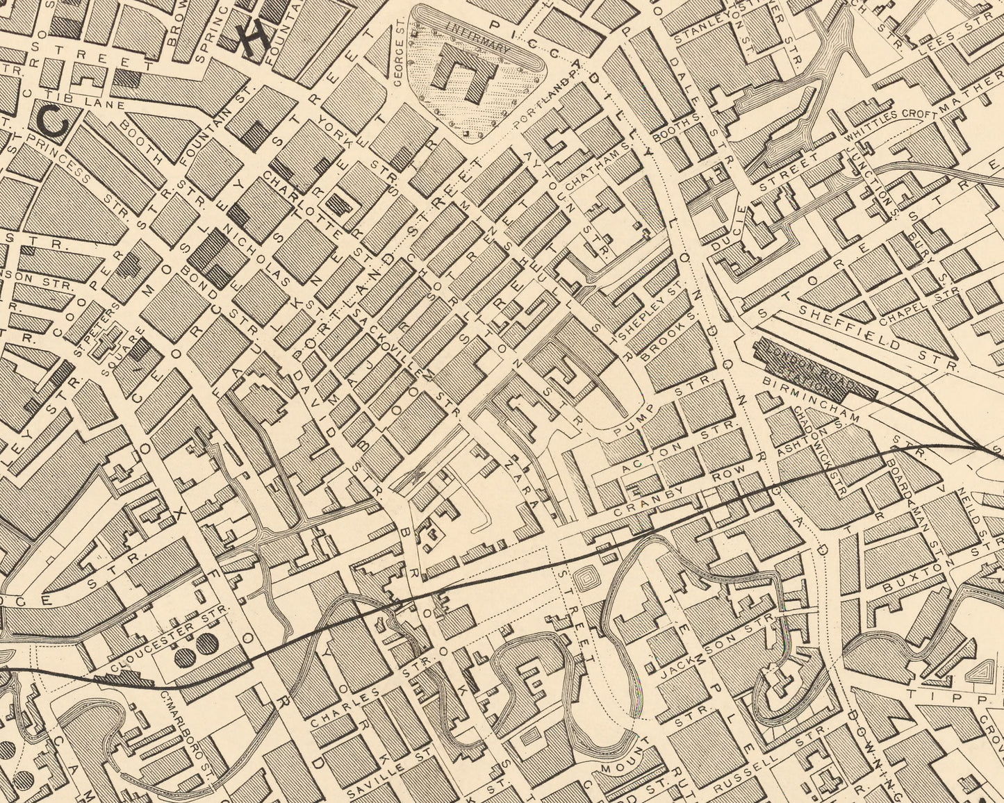
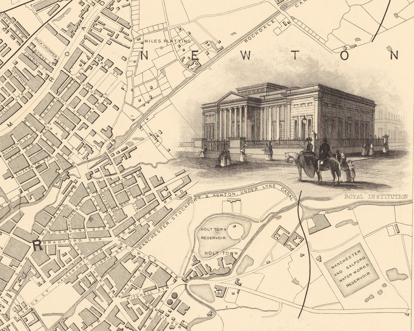
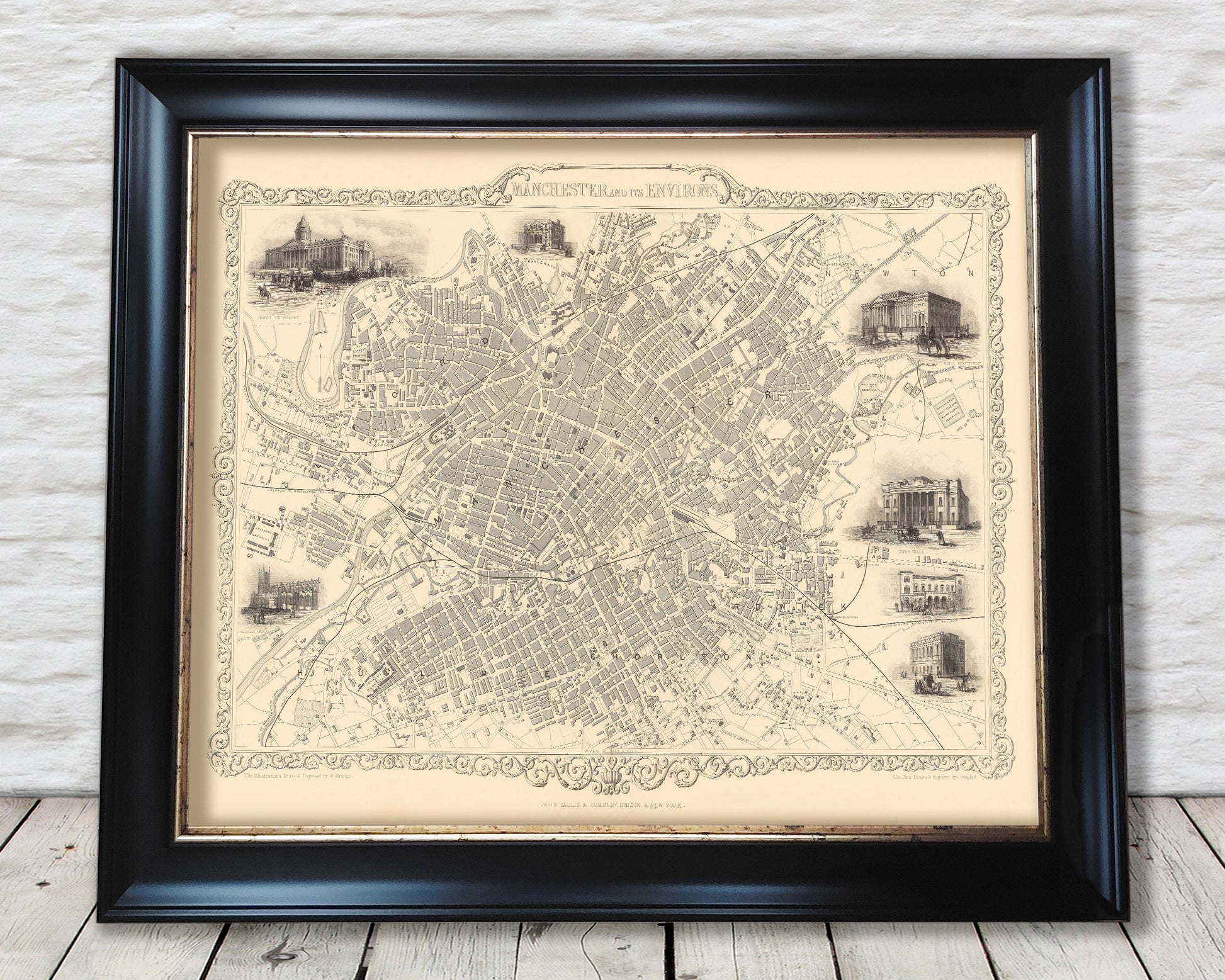
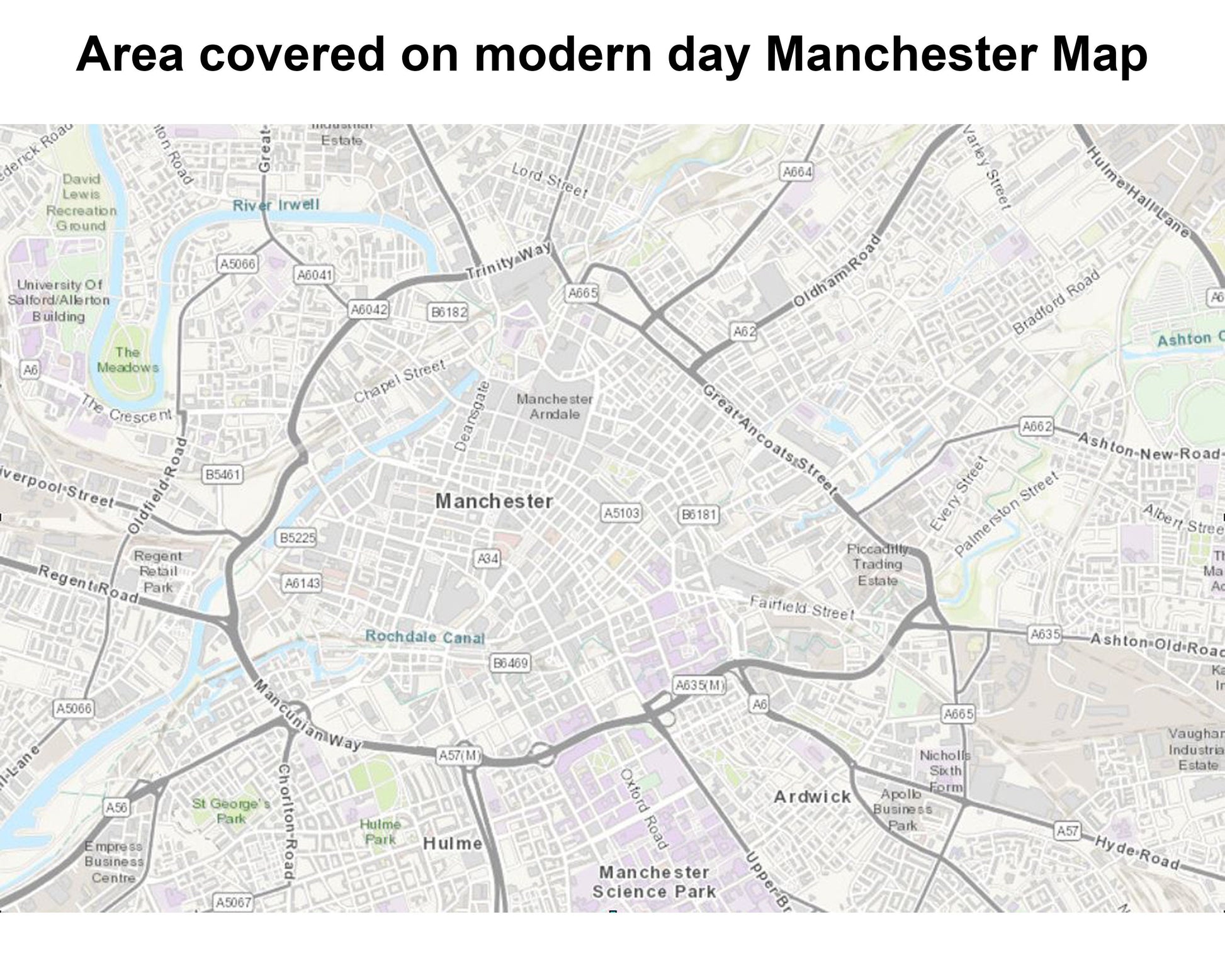
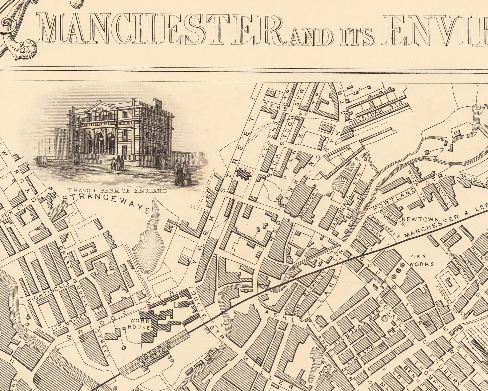
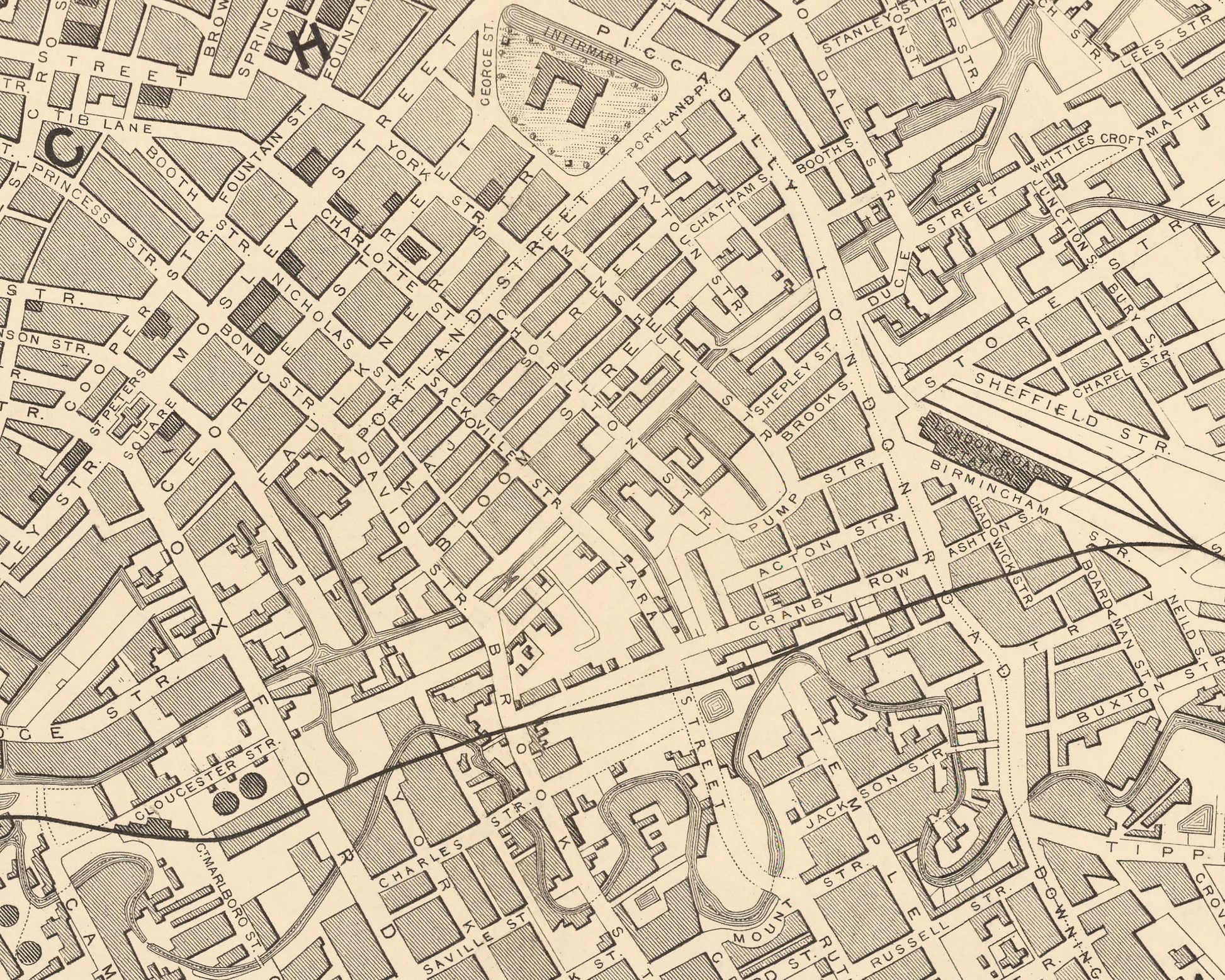
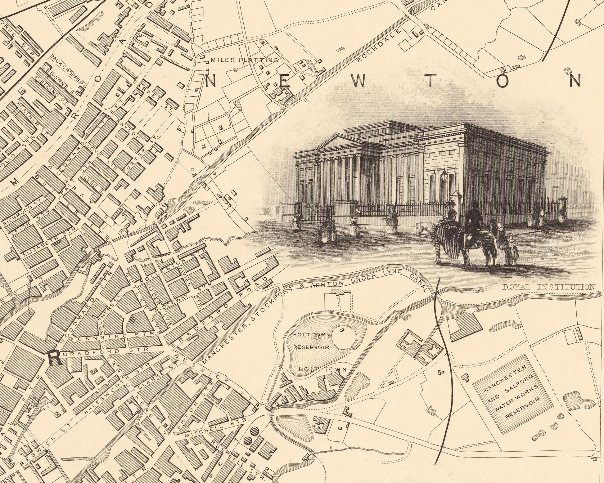
This wonderfully detailed 1851 map created by John Tallis shows Manchester in the midst of the Industrial Revolution. The River Irwell can be seen running through the city. Canals railways, street and district areas of the city are also included. Manchester would be called 'Cottonopolis' and rightly so as it was the most productive centre for cotton goods. But there was more to Manchester than just cotton - factories needed their operatives, but they also had to be built, their machines had to be maintained, their warehouses organised – it all amounted to a steady stream of employment for those who flocked to the cities. Others made a living transporting raw material and finished goods around – driving horses and carts, building railways, driving trains. Manchester was the third most populous of England's cities numbering approximately 250,000 souls when this map was produced.
This piece has been digitally cleaned in order to remove blemishes and most signs of ageing but keeps the look, feel and integrity of the original.
A classic work that creates a centrepiece for any home and would look stunning mounted. This print is produced on premium heavyweight 230gsm paper and uses the finest quality inks that will not fade or smudge.
This is a highly sought after work.
Features:
=========
• A classically drawn and detailed town plan of Manchester and her Environs from 1851
• Seven wonderful vignettes including the Royal Infirmary, The Collegiate Church, the Town Hall and the Royal Institute
• A classical banner depicting the title "Manchester and its Environs"
• Decorative scrolling and title cartouche around the edges of the map
Share