

Classic Maps and Prints
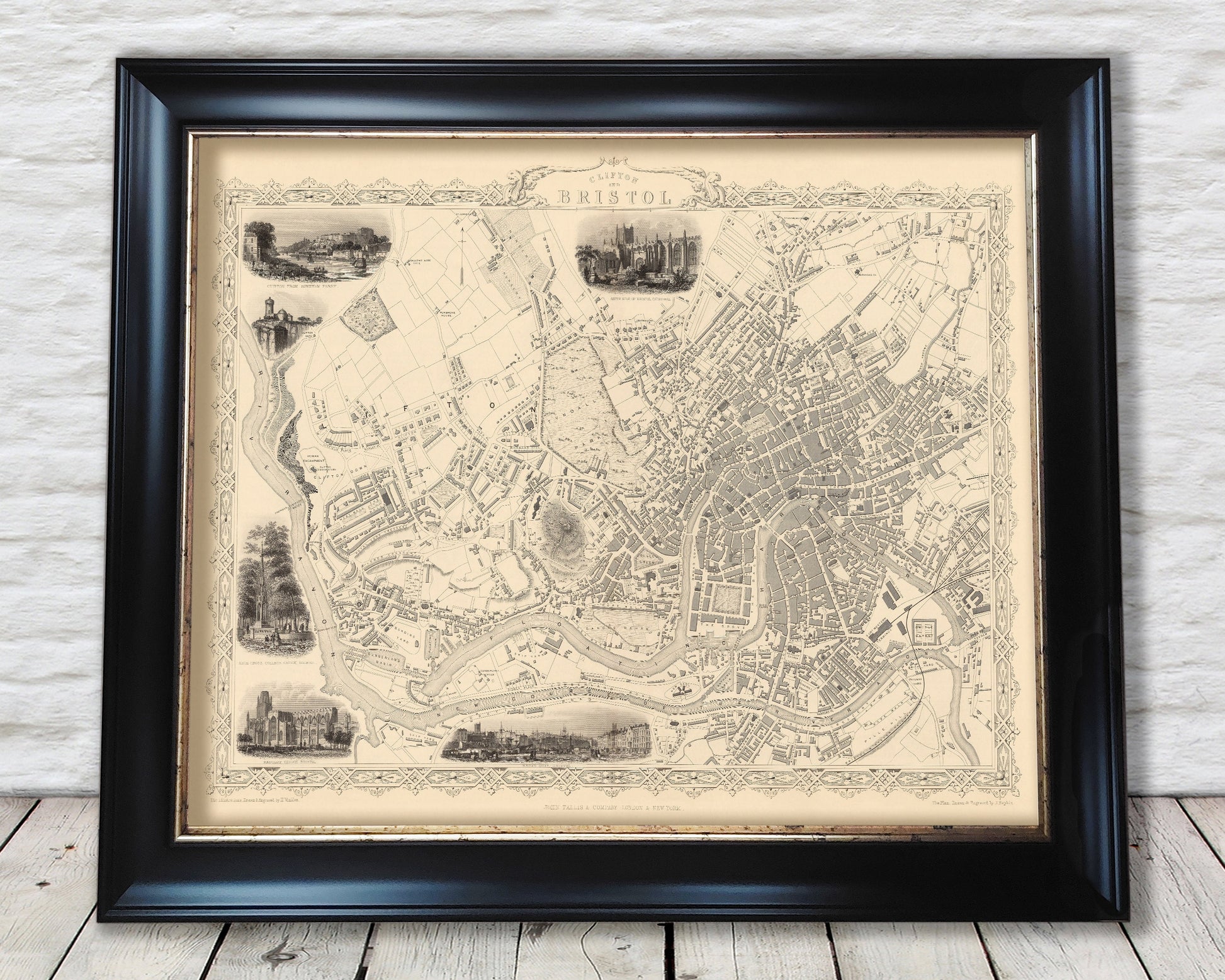
Victorian BRISTOL and Clifton map c.1851 by Tallis fine reproduction
Victorian BRISTOL and Clifton map c.1851 by Tallis fine reproduction
Couldn't load pickup availability
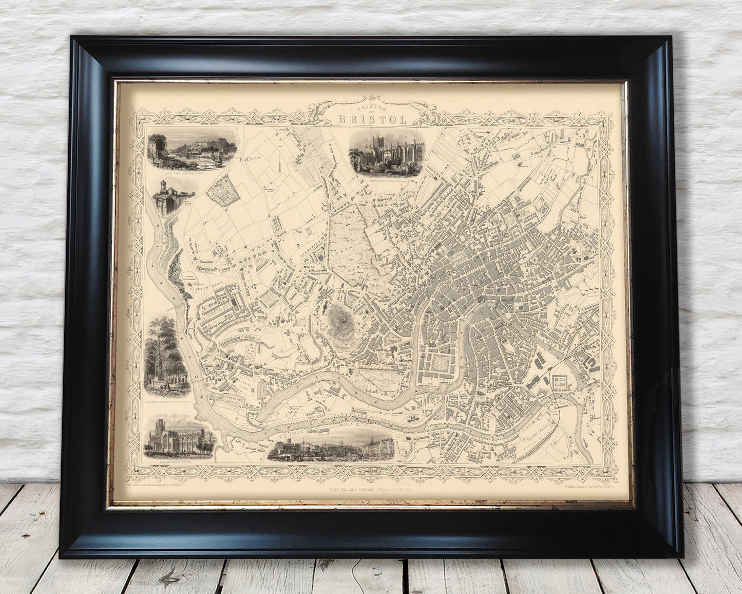
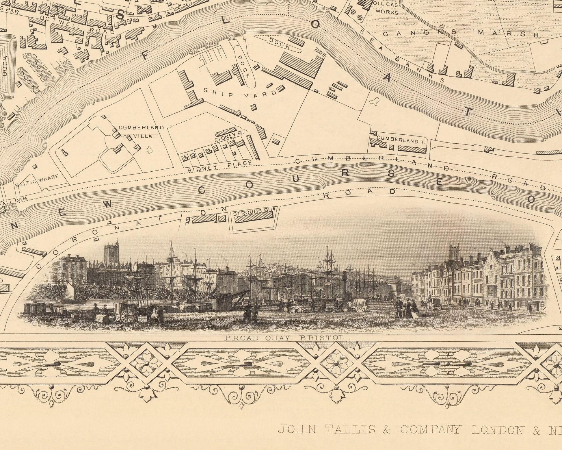
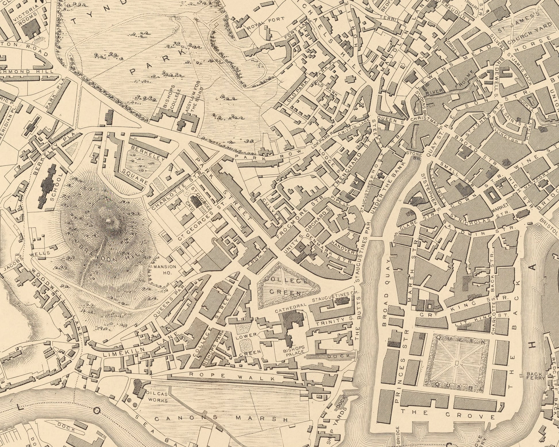
This wonderfully detailed 1851 map created by John Tallis shows Bristol in the midst of the Industrial Revolution. This map shows the new course of the River Avon and the Floating Harbour'. At Clifton Down the famous suspension bridge is yet to be constructed, but clearly marked as Proposed Suspension Bridge, it was officially opened over a decade later in 1864.
This piece has been lightly digitally cleaned in order to remove certain blemishes and signs of ageing but keep the look, feel and integrity of the original.
A classic work that creates a centrepiece for any home and would look stunning mounted. This print is produced on premium heavyweight 230gsm paper and uses the finest quality original Canon inks that will not fade or smudge.
This is a highly sought after work.
Features:
------------
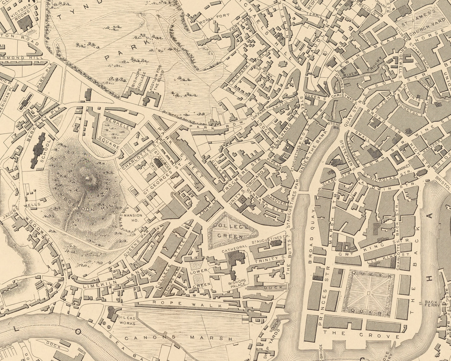
• A classically drawn and detailed town plan of Bristol and Clifton from 1851
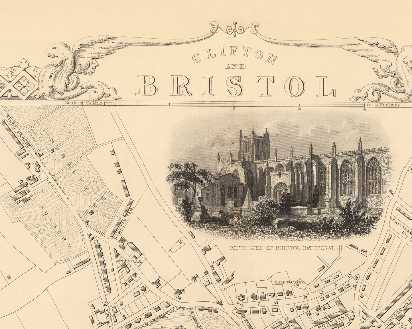
• Six wonderful vignettes including Clifton Down from Rownham Ferry, south side of Bristol Cathedral, Clifton Observatory and High Cross Green
• A classical banner depicting the title "Clifton and Bristol"
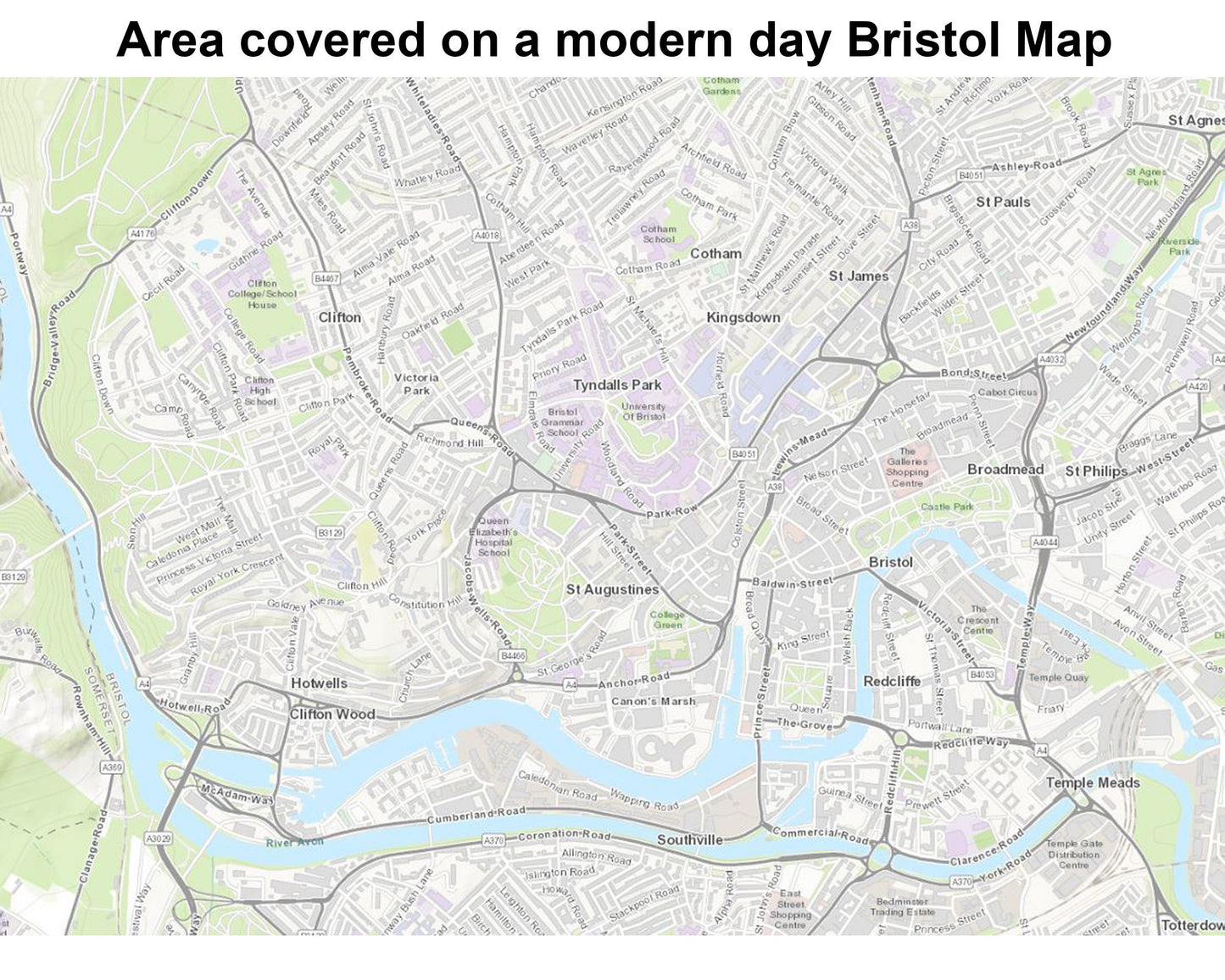
• Covers the Clifton, Temple Meads, Castle, Redcliffe areas and includes a marking for the proposed Clifton suspension bridge
• Decorative scrolling and title cartouche around the edges of the map
Share