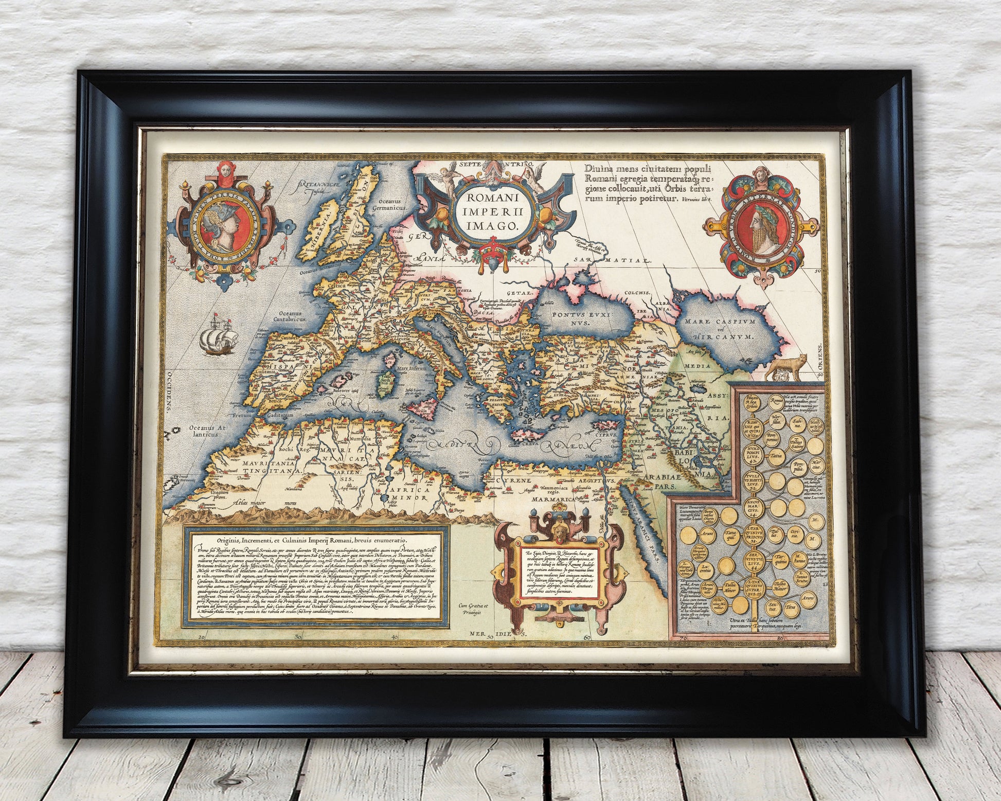
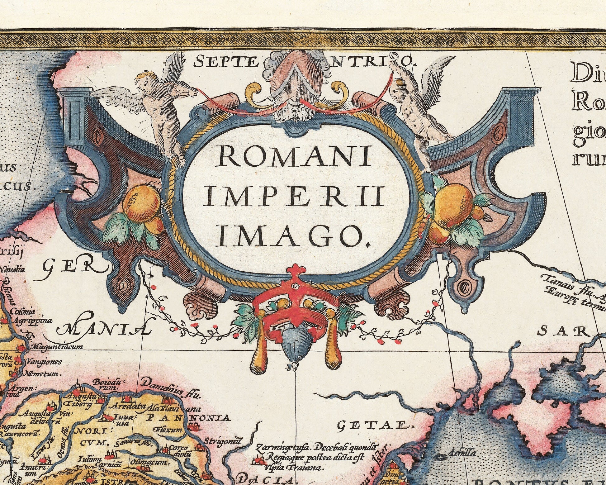
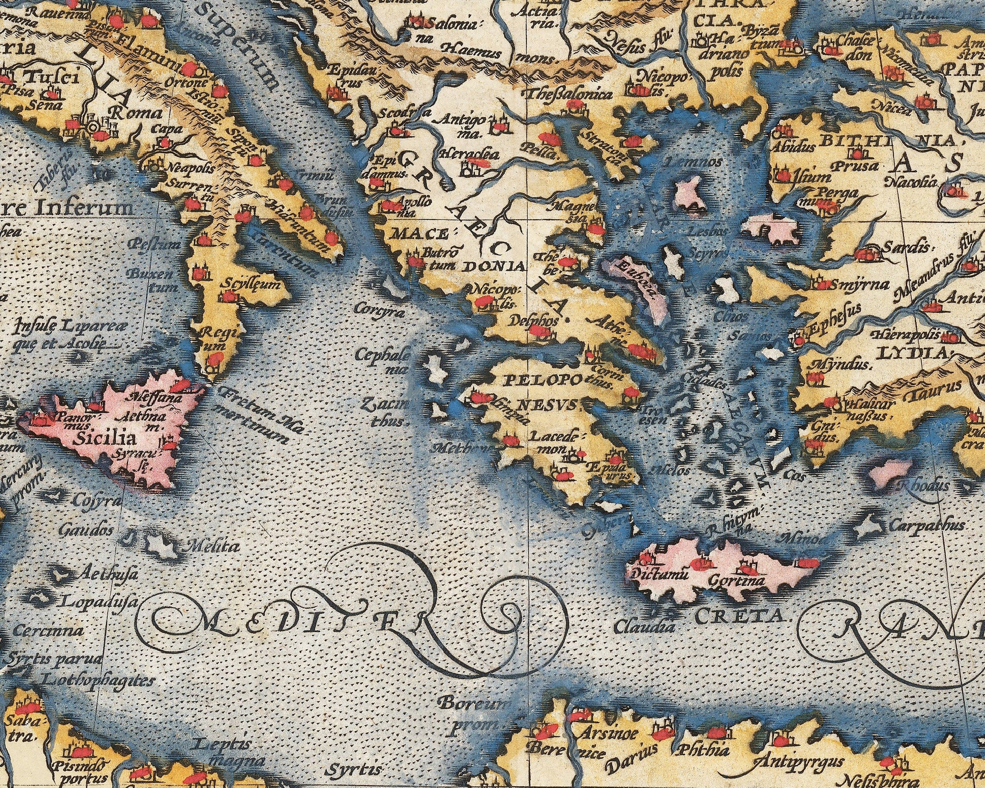
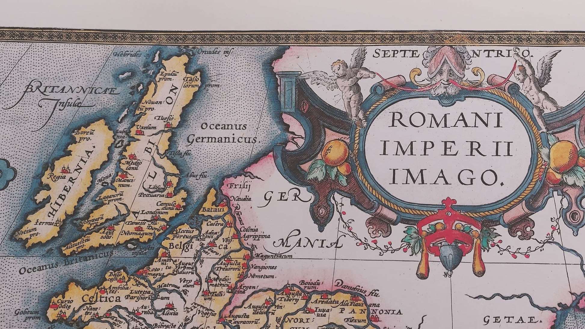
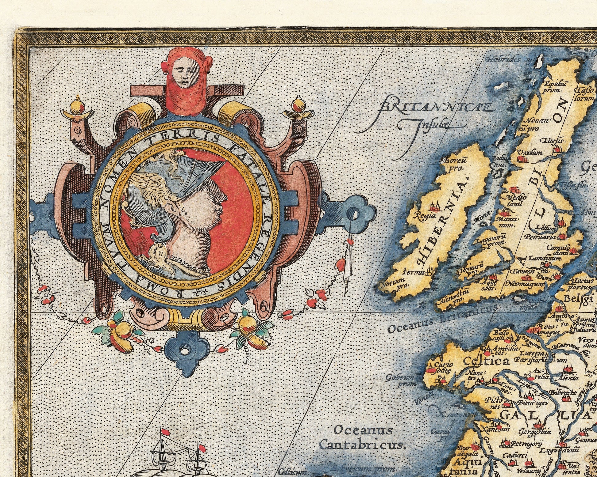
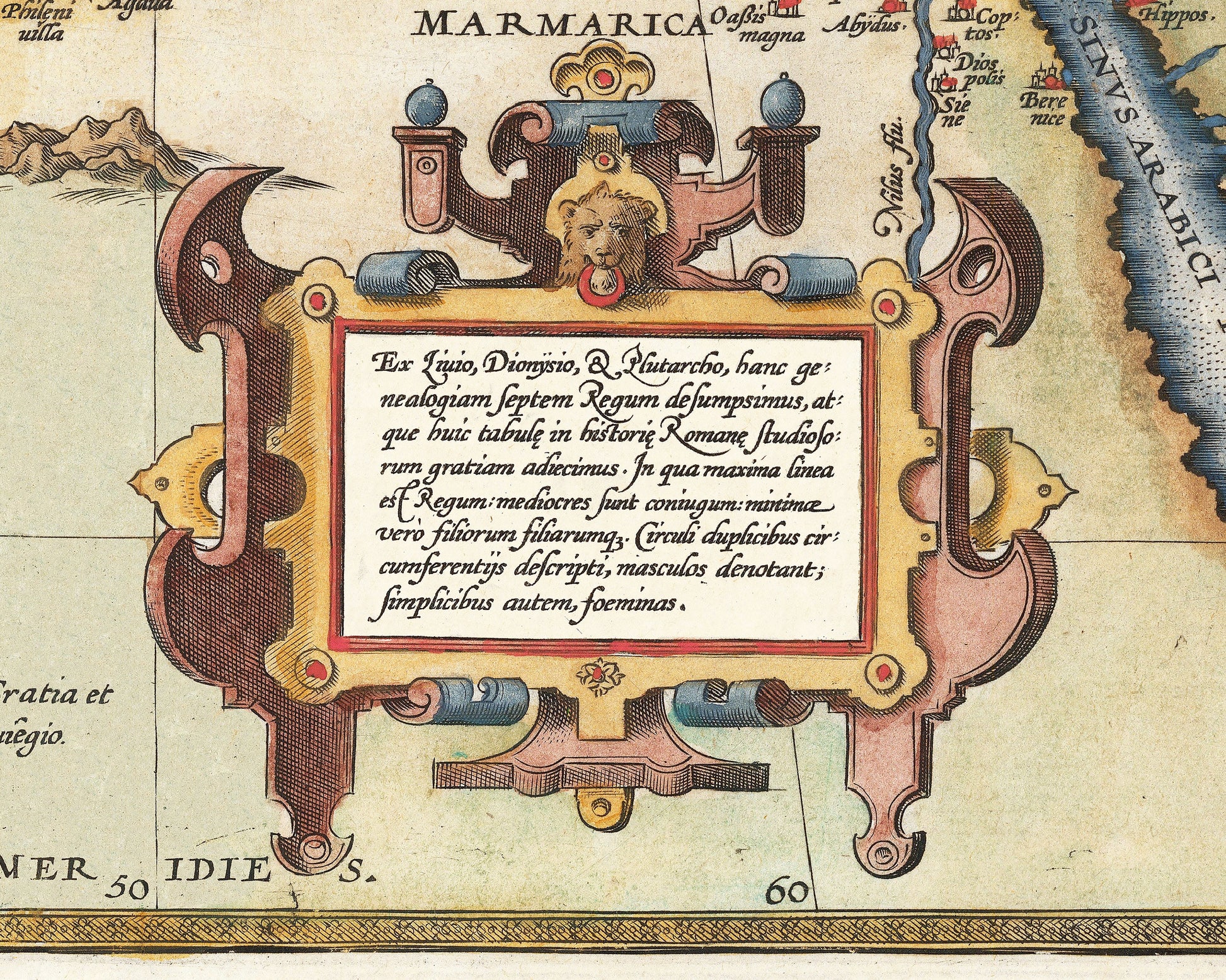
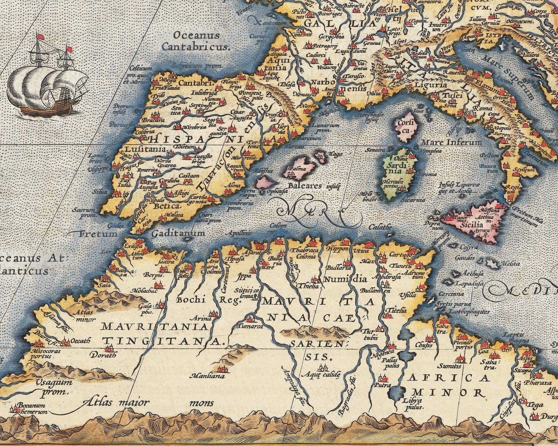
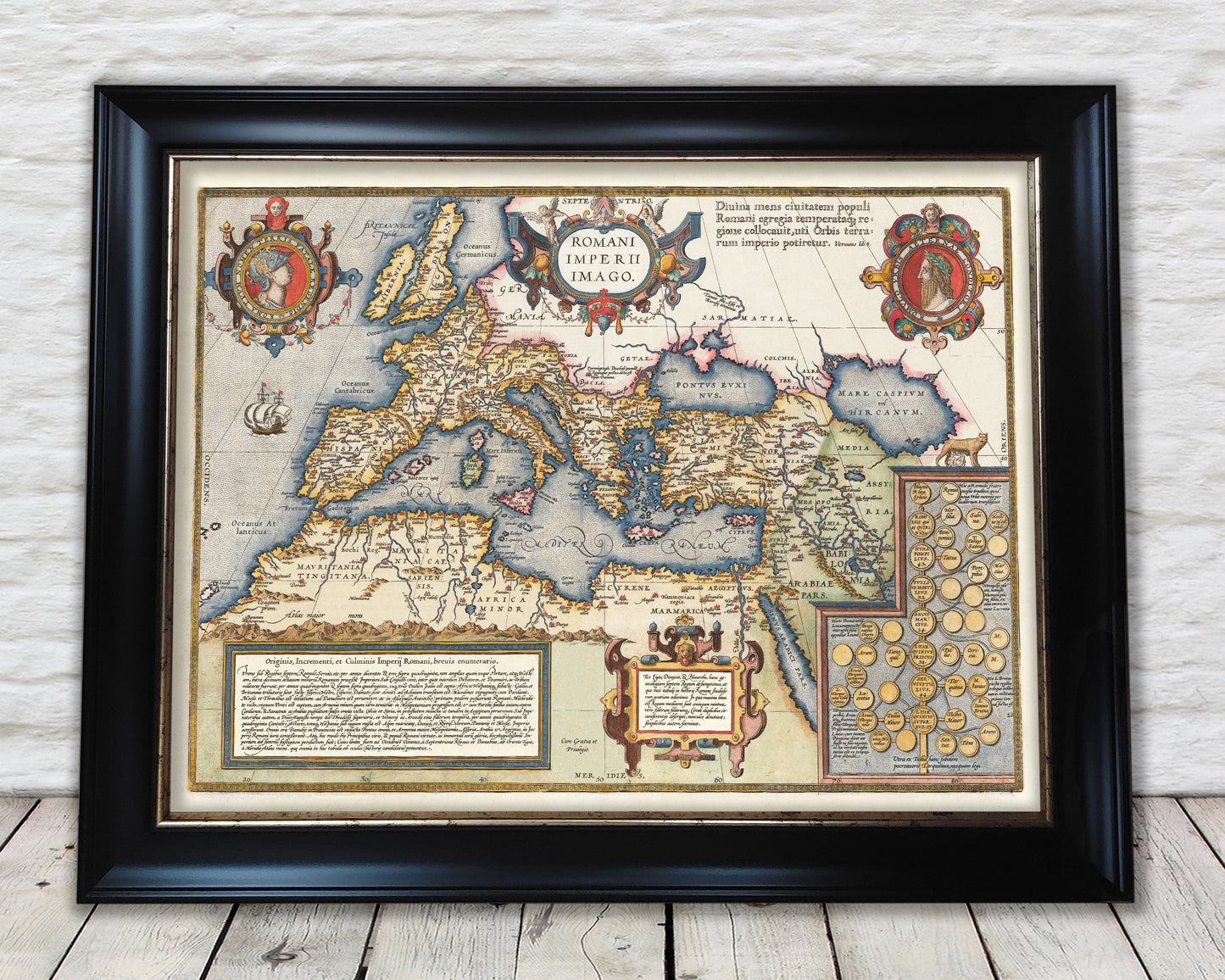
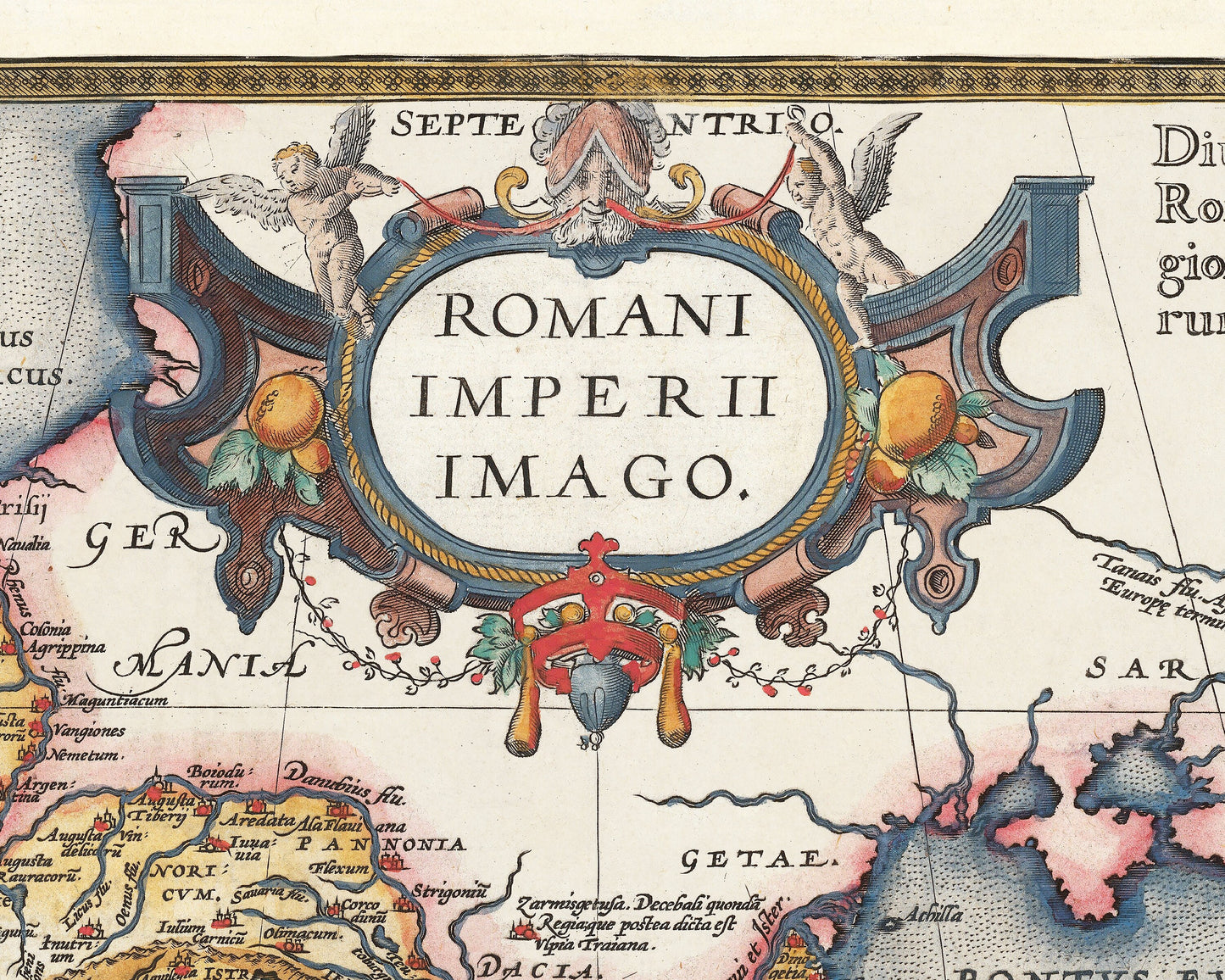
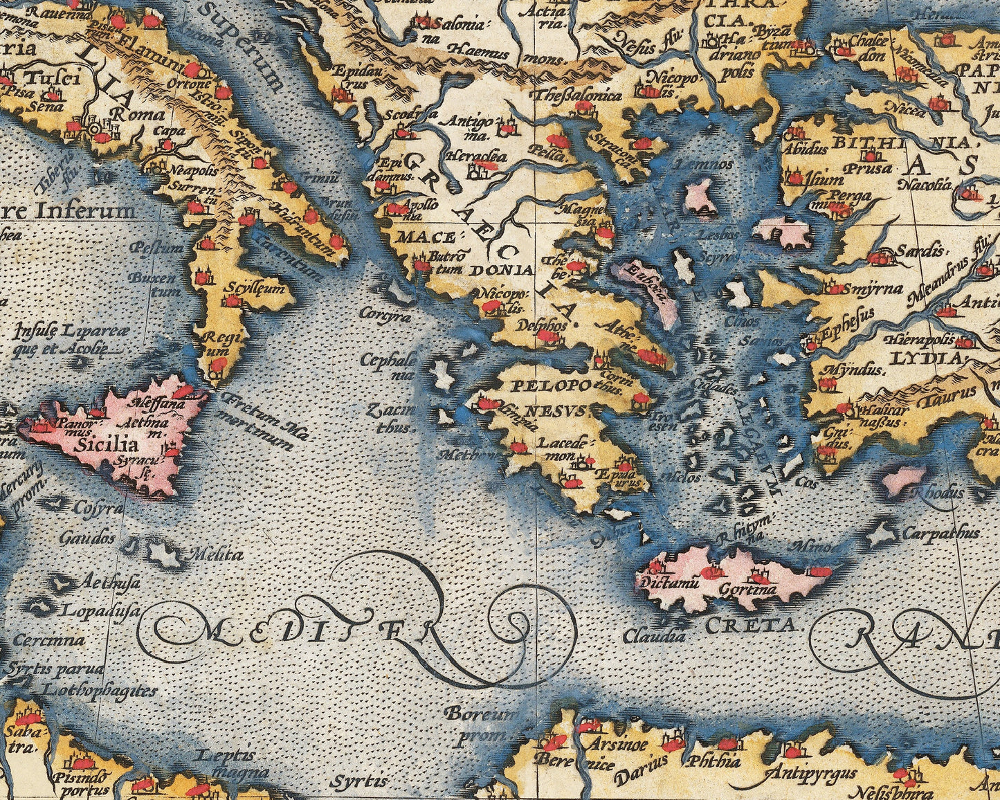
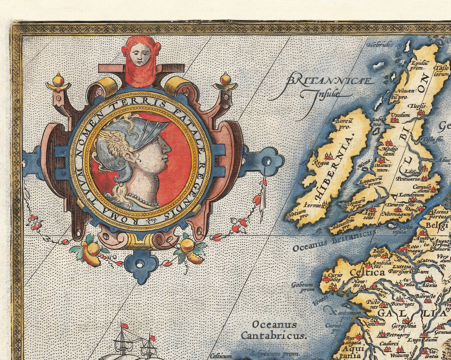
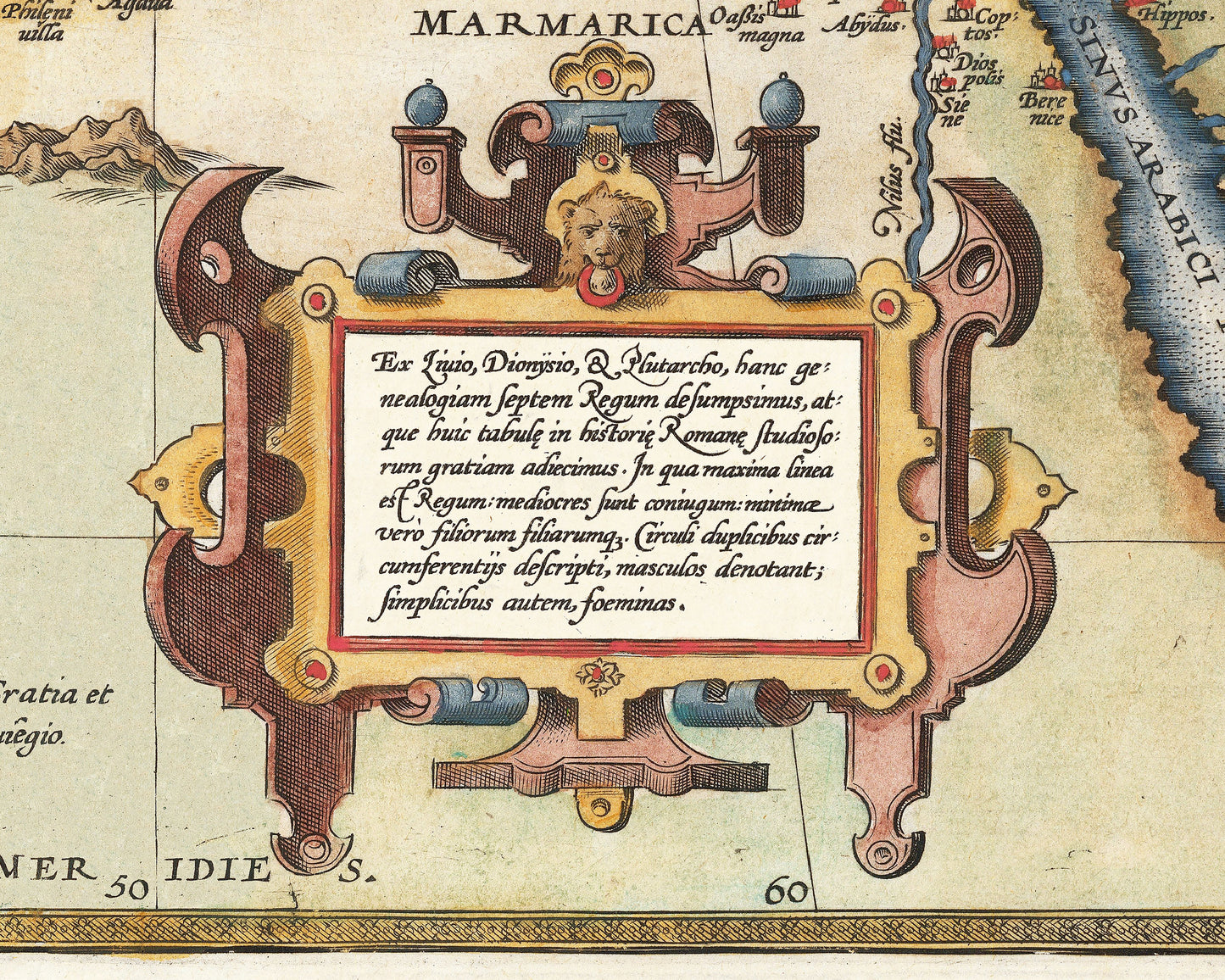
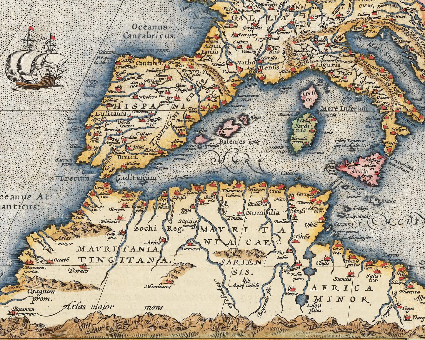
This stunning Roman Empire map was created by Abraham Ortelius (1527-1598) one of the best known mapmakers of the sixteenth century. Originally featured in Ortelius's Atlas 'Theatrum Orbis Terrarum' (or "Theater of the World") this piece is a classic . The map shows the Roman Empire at the height of its powers stretching from England in the north, France, then through the Mediterranean and including parts of the Middle East. This beautifully drawn and detailed map shows cities, rivers, mountain ranges and much more. The piece is offset by some delightful cartouches. In the lower right corner there is a genealogy of the first Seven Kings of Rome. There is also an illustration of twin brothers Romulus and Remus suckling on a she-wolf.
This map is an ideal gift for anyone with an interest in antiquity and of course the Roman Empire. This is a highly sought-after work and is sure to form an interesting conversation piece to any living room.