Tax included.
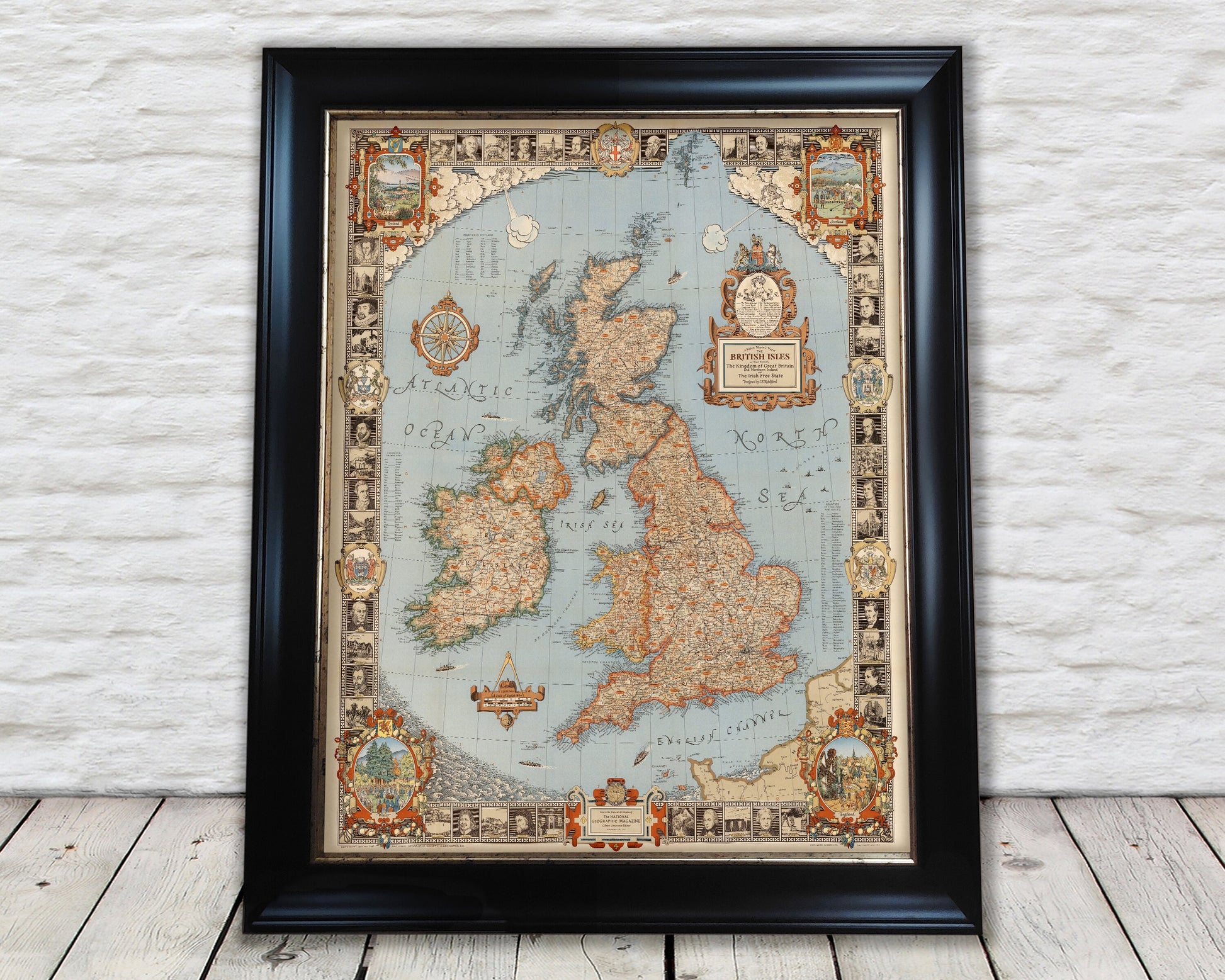
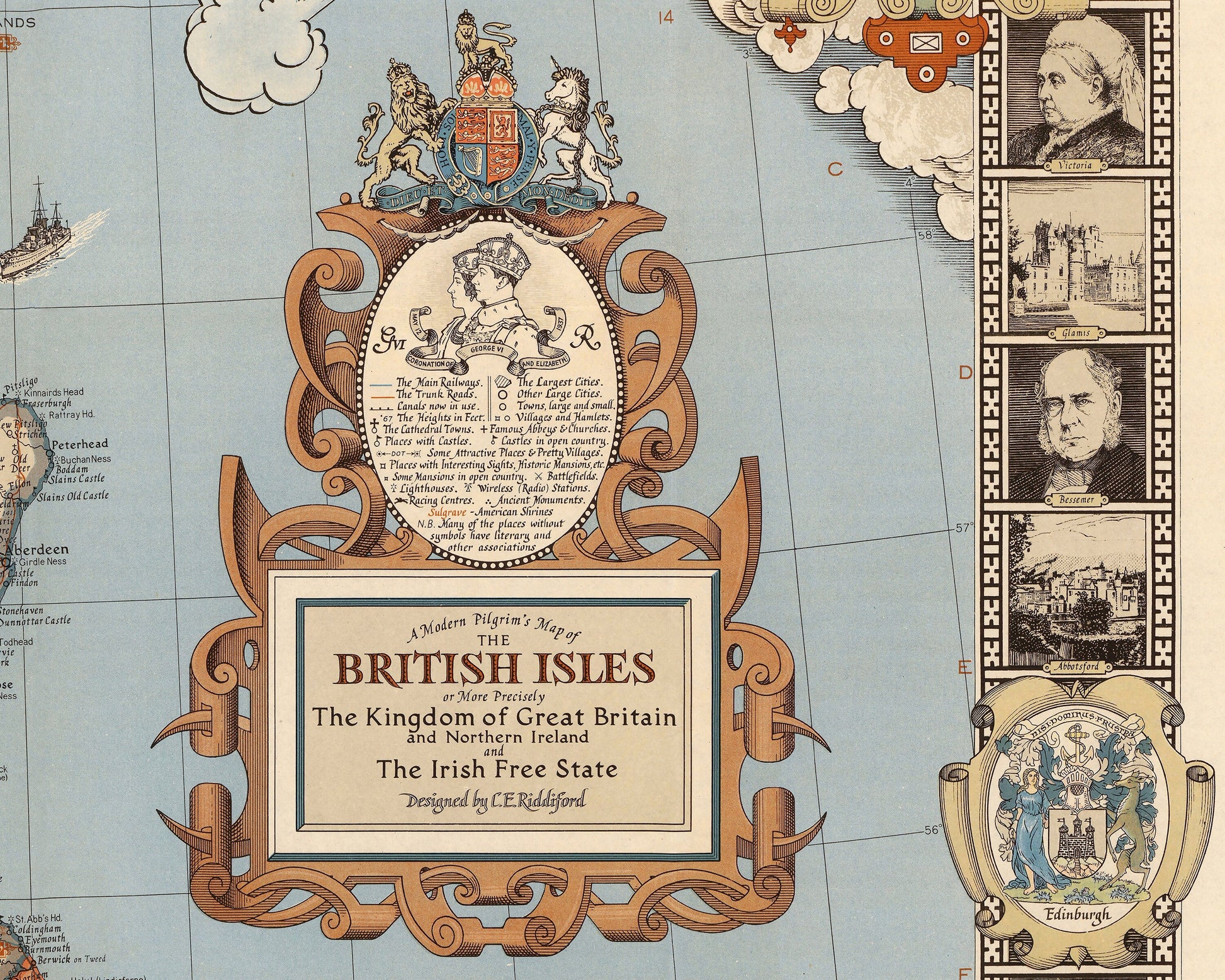
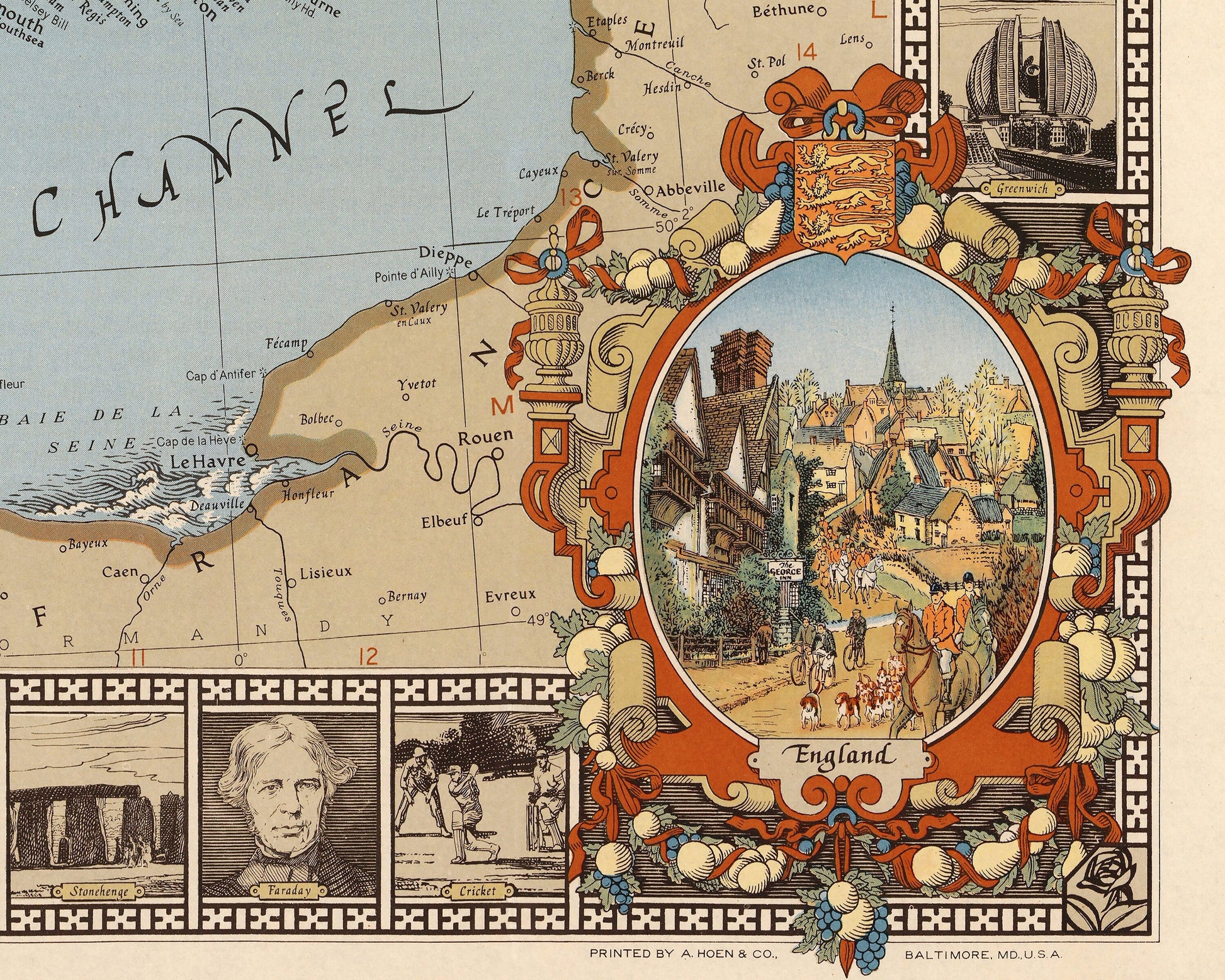
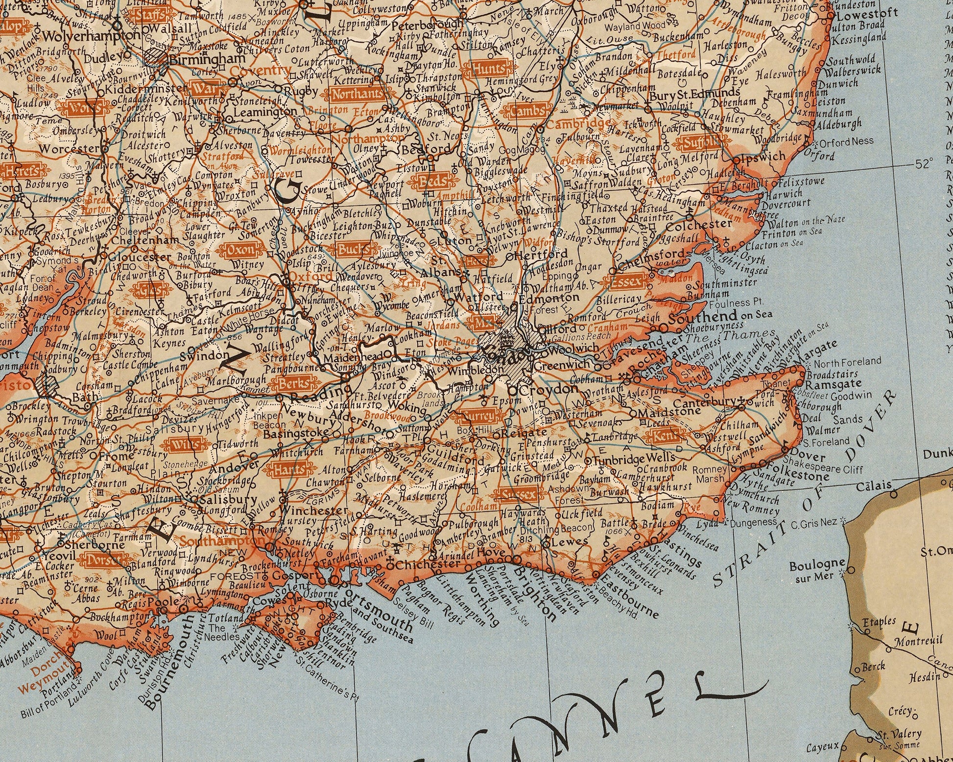
Firstly let me give the full title of the map: "A Modern Pilgrim's Map of The British Isles or more Precisely The Kingdom of Great Britain and Northern Ireland and the Irish Free State."
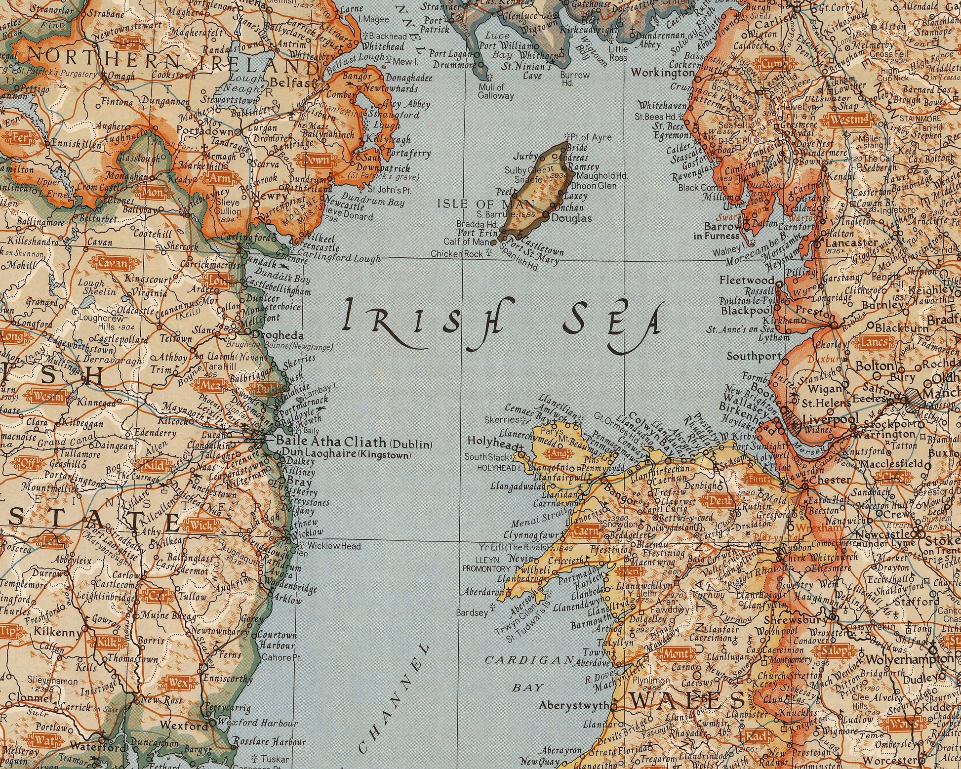
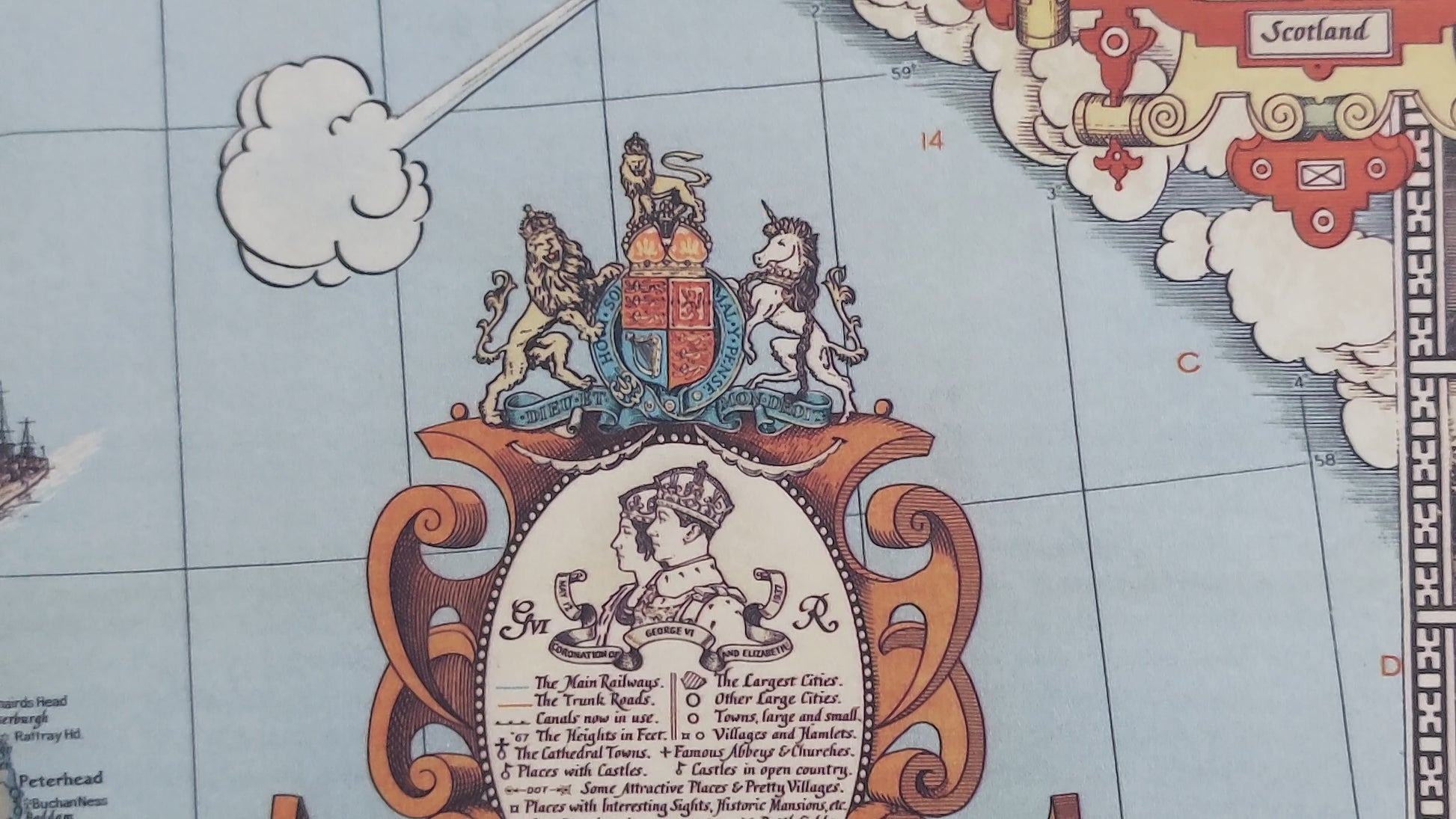
This map is an absolute masterpiece, it is packed with so much information, illustrations, history, geographically extensive and very pleasing to the eye. This superb work was created by CE Riddiford and commissioned by the National Geographic which they published in 1937. Where to start! Firstly there are beautiful vignettes in each corner featuring England, Ireland, Scotland and Wales in idyllic scenes. There are crests of the capital cities London, Edinburgh, Cardiff, Belfast and Dublin. There is a total of 44 mini illustrations around the border. Twenty one are of great and famous British and Irish people including Queen Victoria, Watt, Burns, Dickens, Nelson, Chaucer, Raleigh, Newton, Shakespeare and Darwin to mention a few. The remaining 23 illustrations are made up of famous places: The Potteries, Greenwich, Canterbury, Downing Street, St Andrews, Edinburgh, Killarney, Blarney etc... one of Cricket and of course one for tea!! A Fantastic map of the five countries featuring main railways, trunk roads, canals, race courses, cathedral towns , castles, county and country borders and towns and cities.
There is map is so comprehensive and informative, there is so much more included than I have had chance to mention here. I must admit that it is one of my personal favourites! This print is sure to be a conversation piece for any living room.