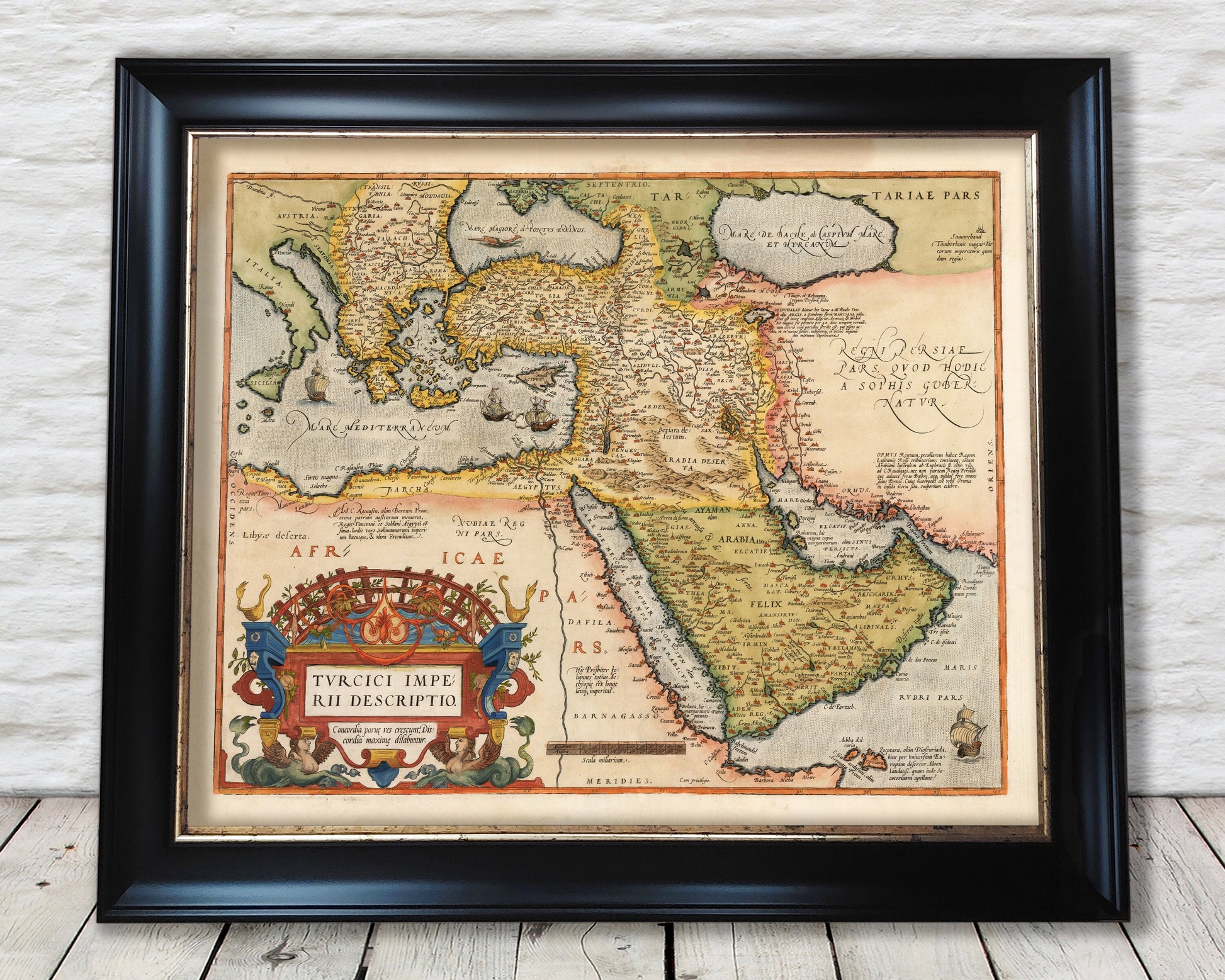
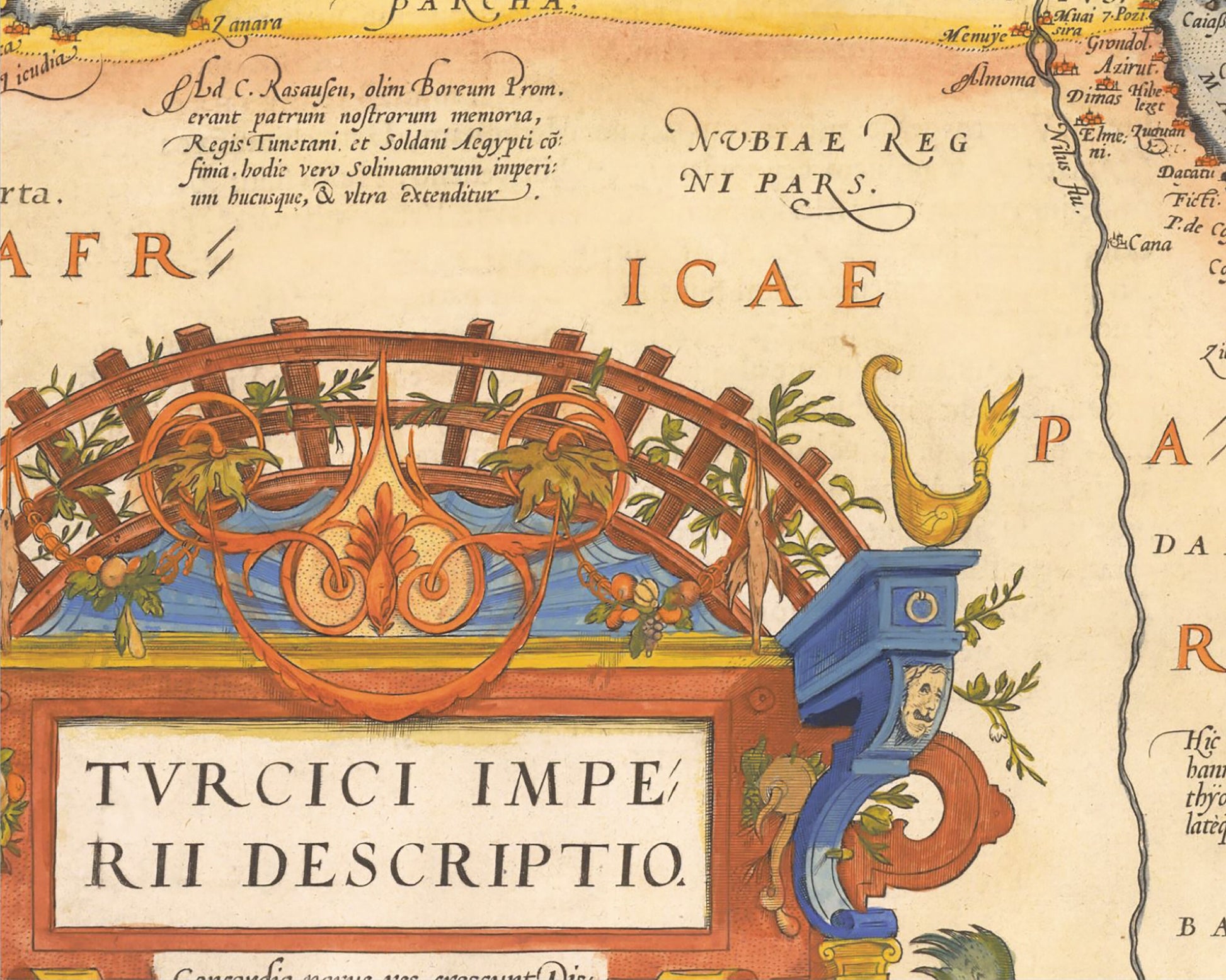
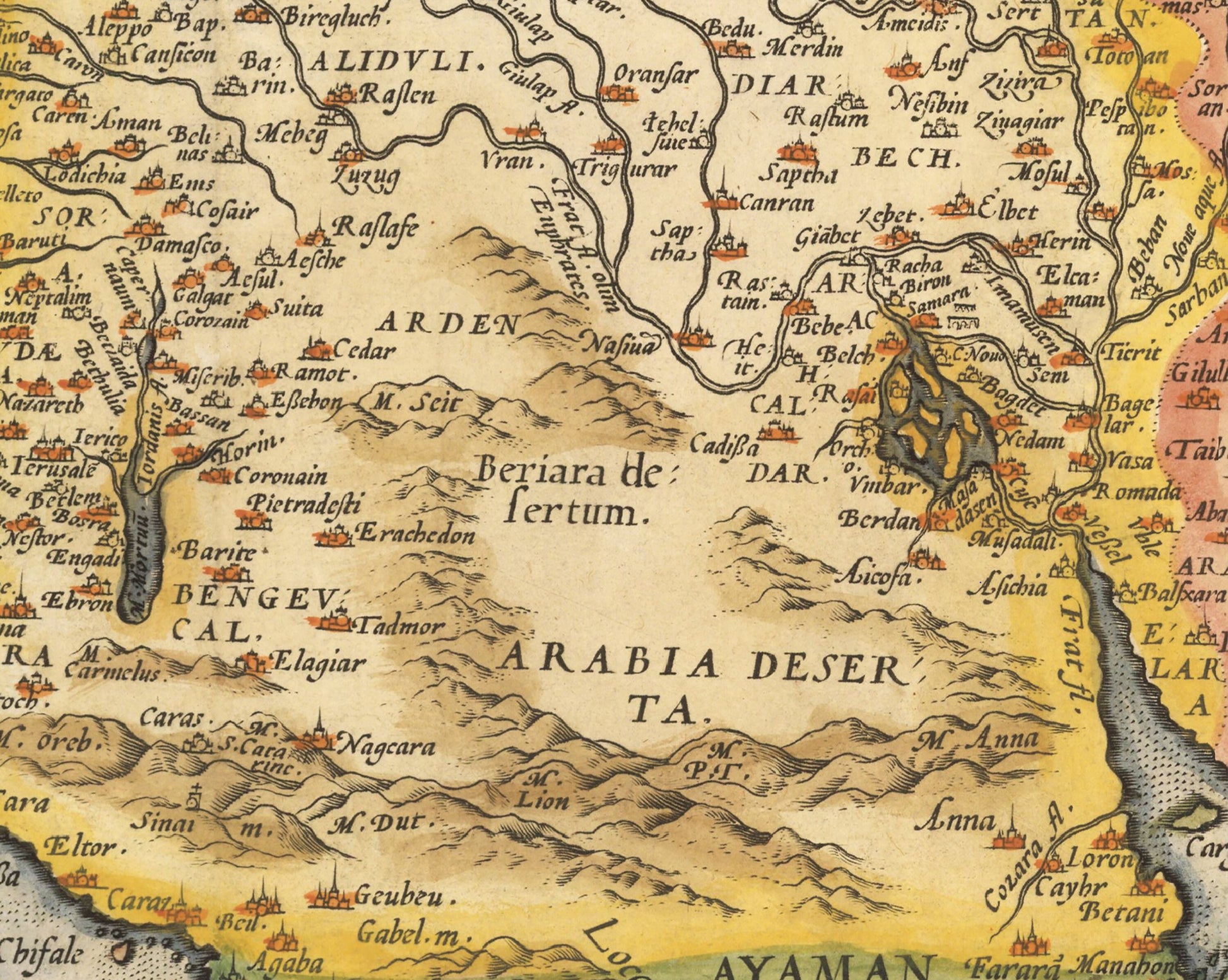
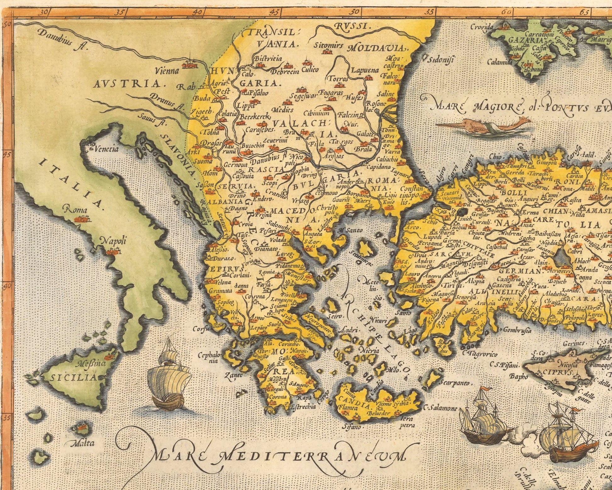
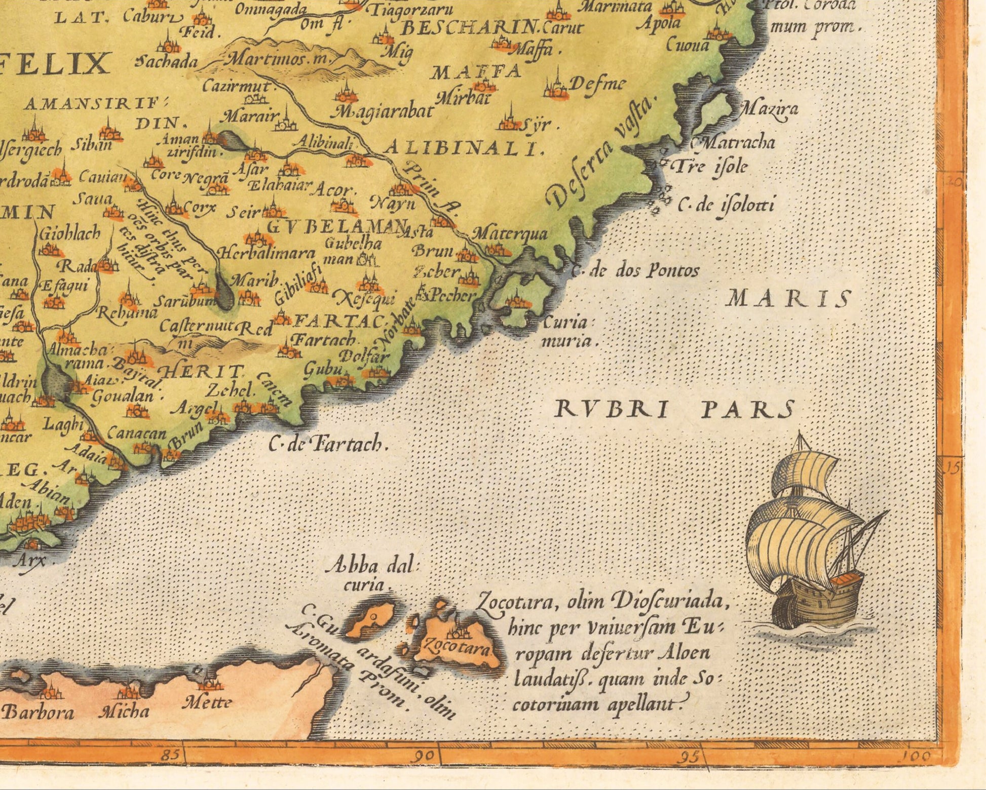
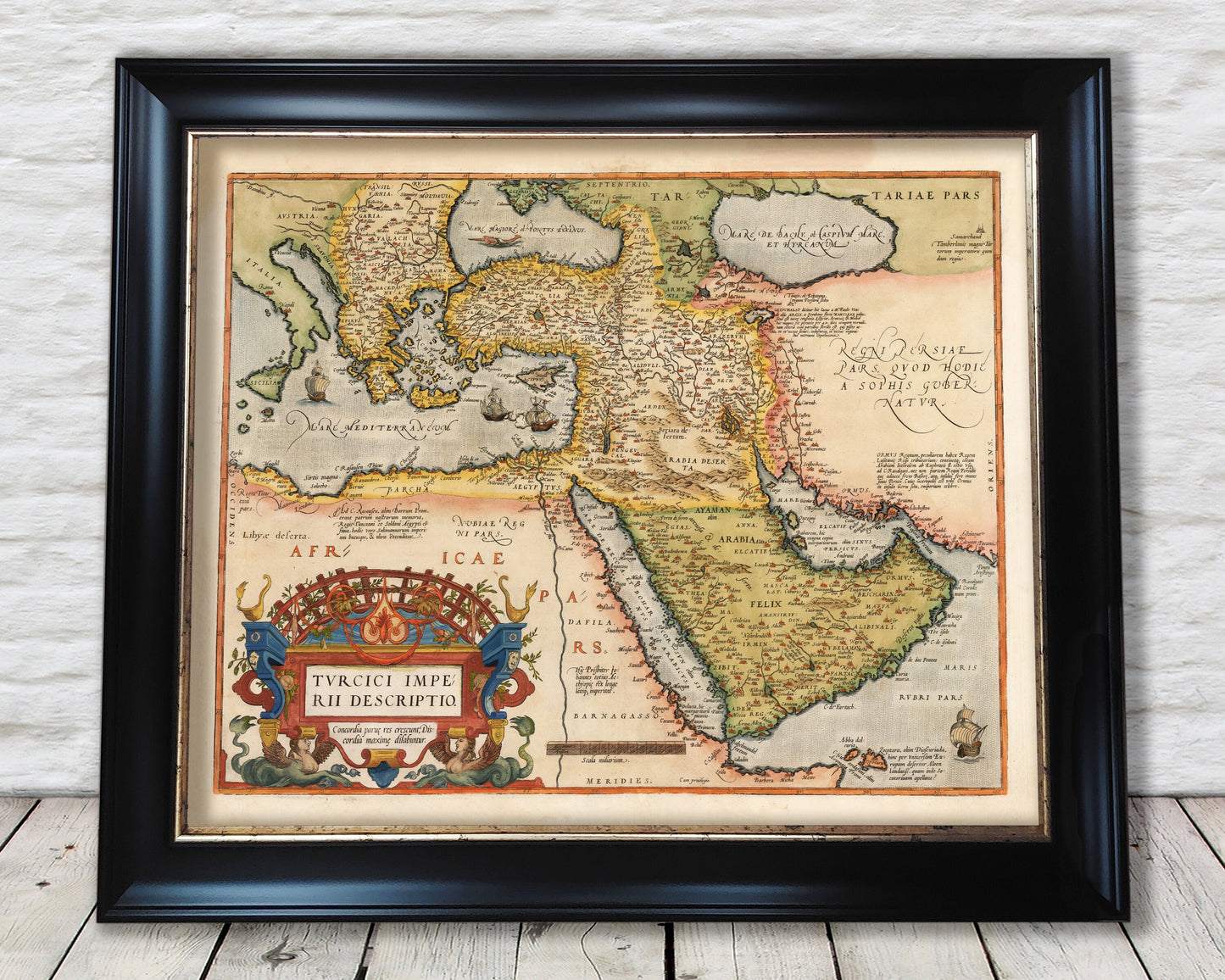
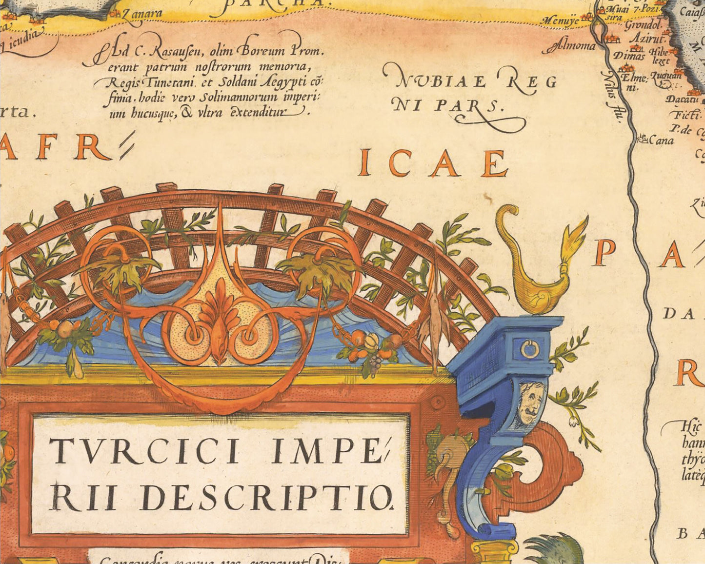
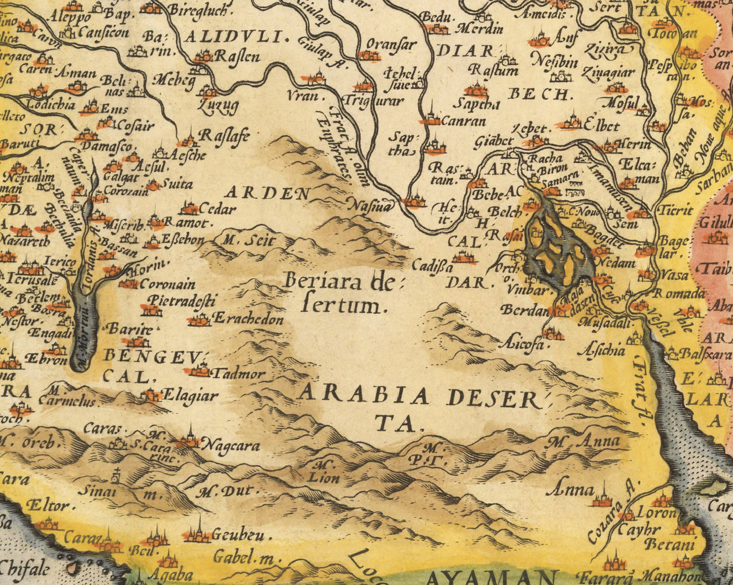
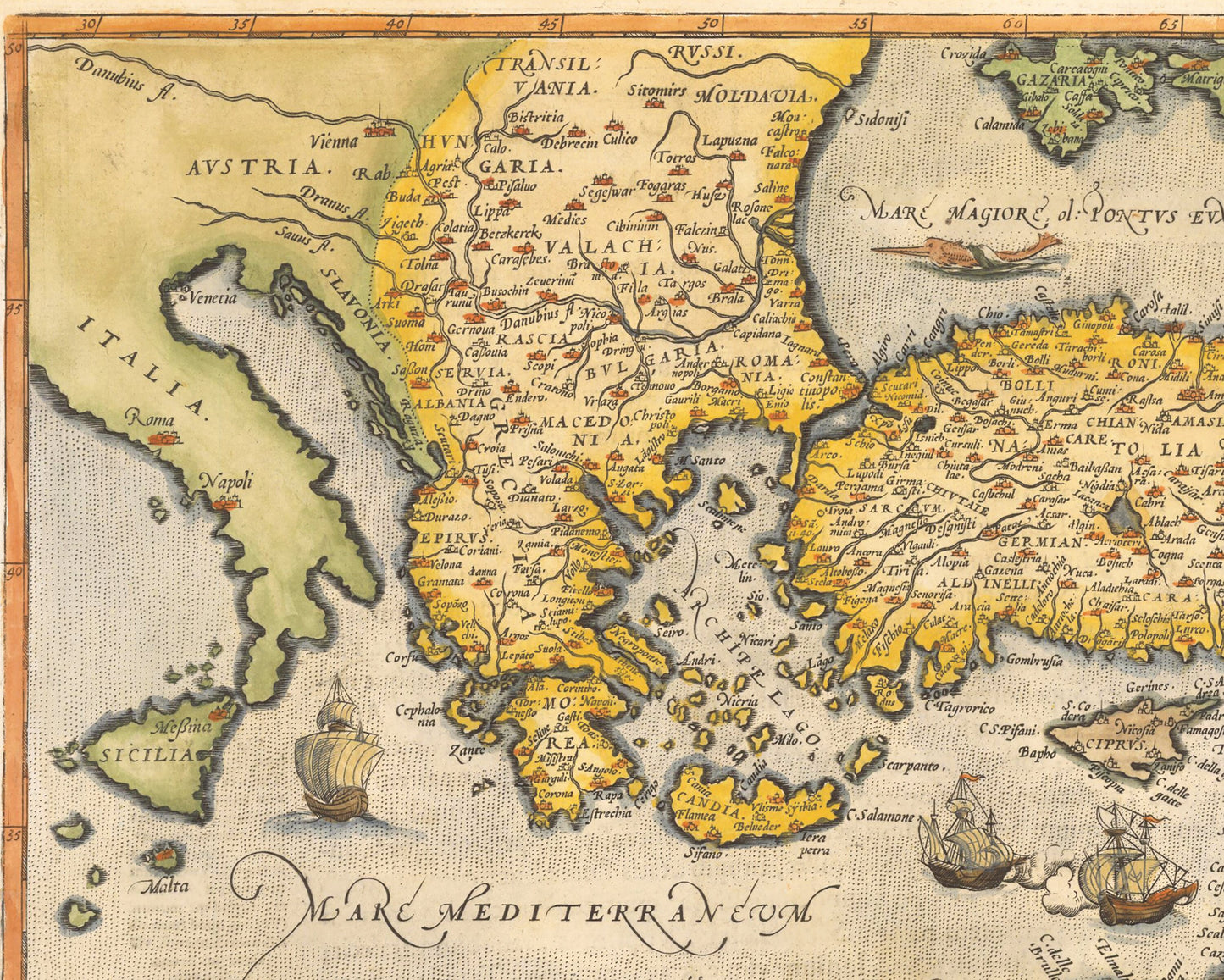
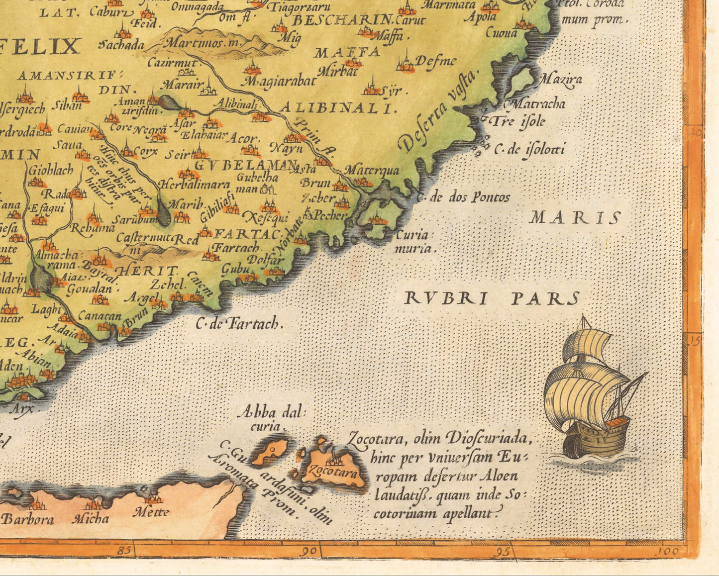
This is a superb, rare example of Ortelius' first map of the Turkish Empire, embracing the Middle East, Turkey and the Eastern Mediterranean from Sicily to Cyprus. Although a map of over 450 years old, many modern towns and cities have there fledging settlements showing.
The Ortelius' map of the Turkish Empire shows the might of this large political entity. Under the reign of Sultan Selim I (r. 1512-1520), the empire trebled in size. Suleiman I, also known as Suleiman the Magnificent, was the tenth and longest ruling Sultan, maintaining power from 1520 until his death in 1566. Under his policies, the Empire extended further to conquer Belgrade, Rhodes, and much of Hungary and Iraq. Suleiman I was a well-known political figure of the sixteenth century and his power radiates from the territory highlighted on this map. The Ottoman Empire would continue to expand and flourish in the seventeenth century, a constant foil to the other European empires.