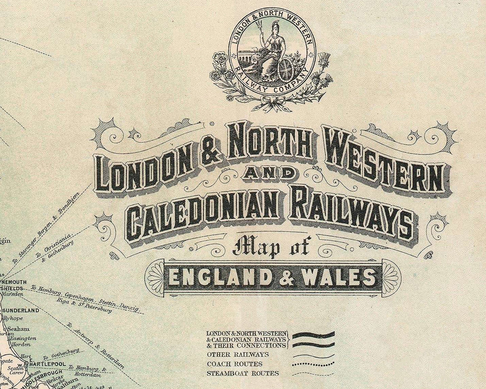
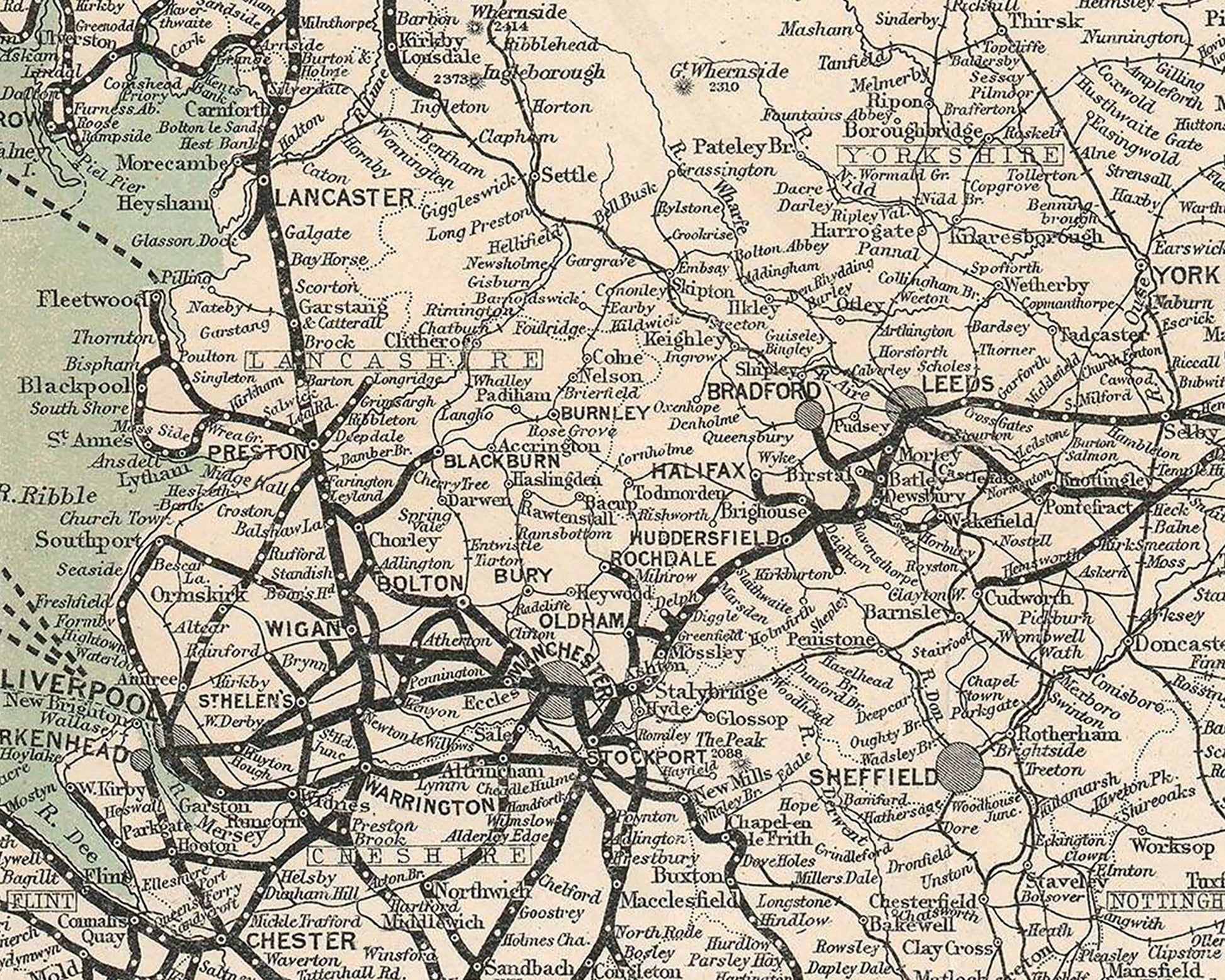
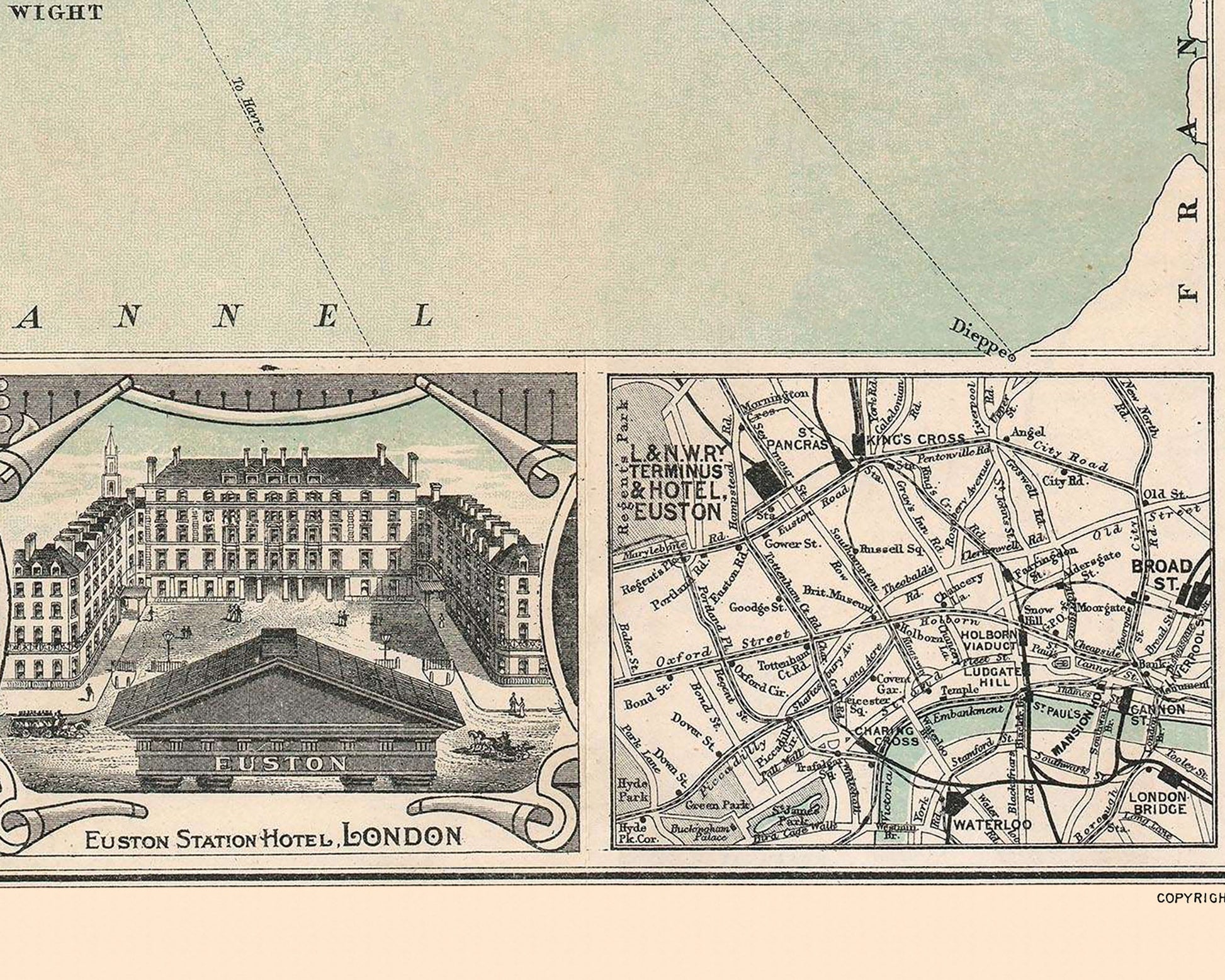
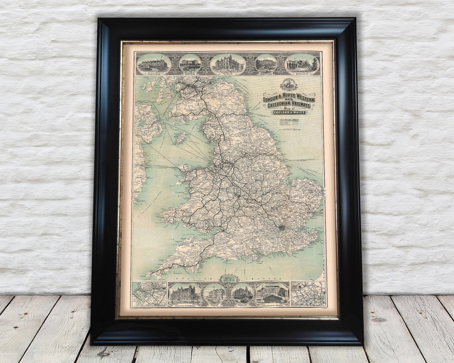
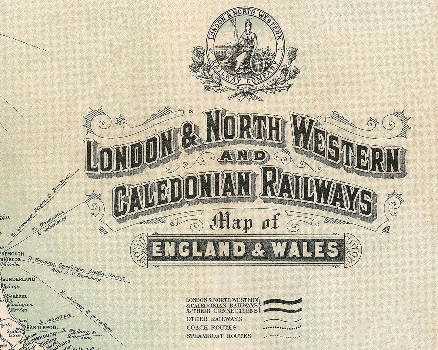
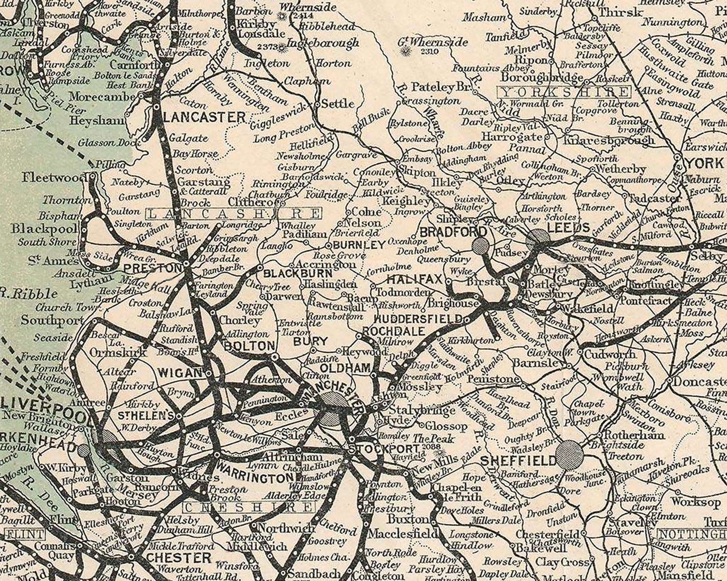
This classic Railway map from around 1911 was commissioned by The London & North Western and Caledonian Railways. This work shows the entirety of the English and Welsh network and a good proportion of southern Scotland too. Railway enthusiast printers McCorquodales of Glasgow produced this comprehensive and fascinating piece.
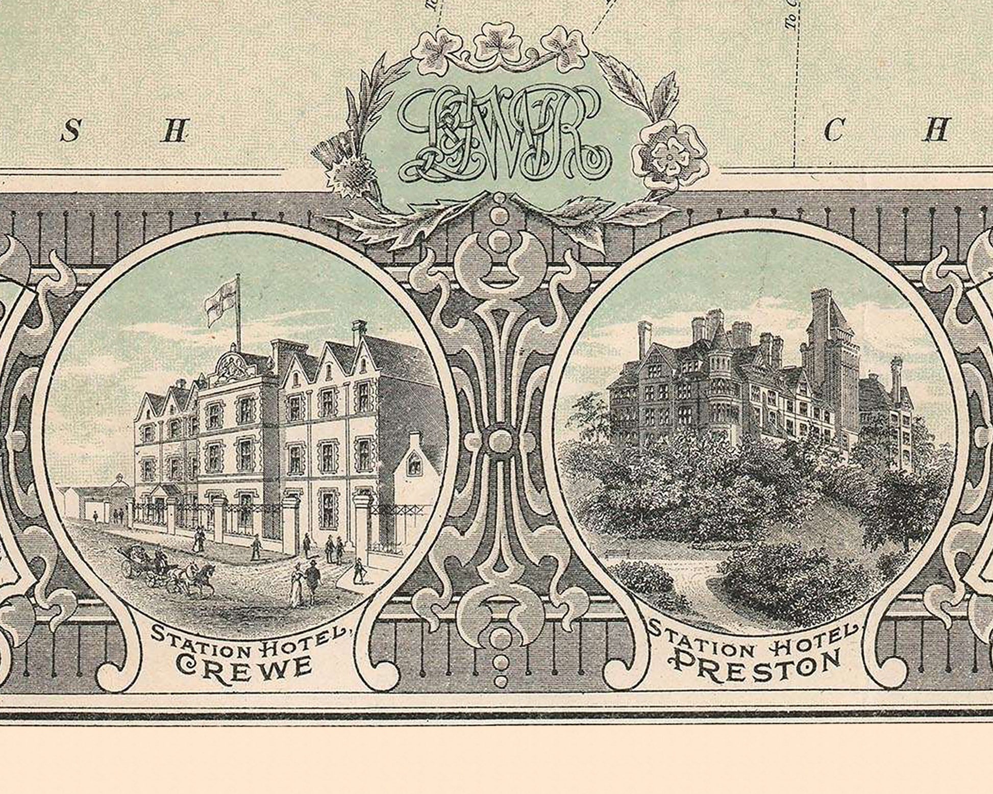
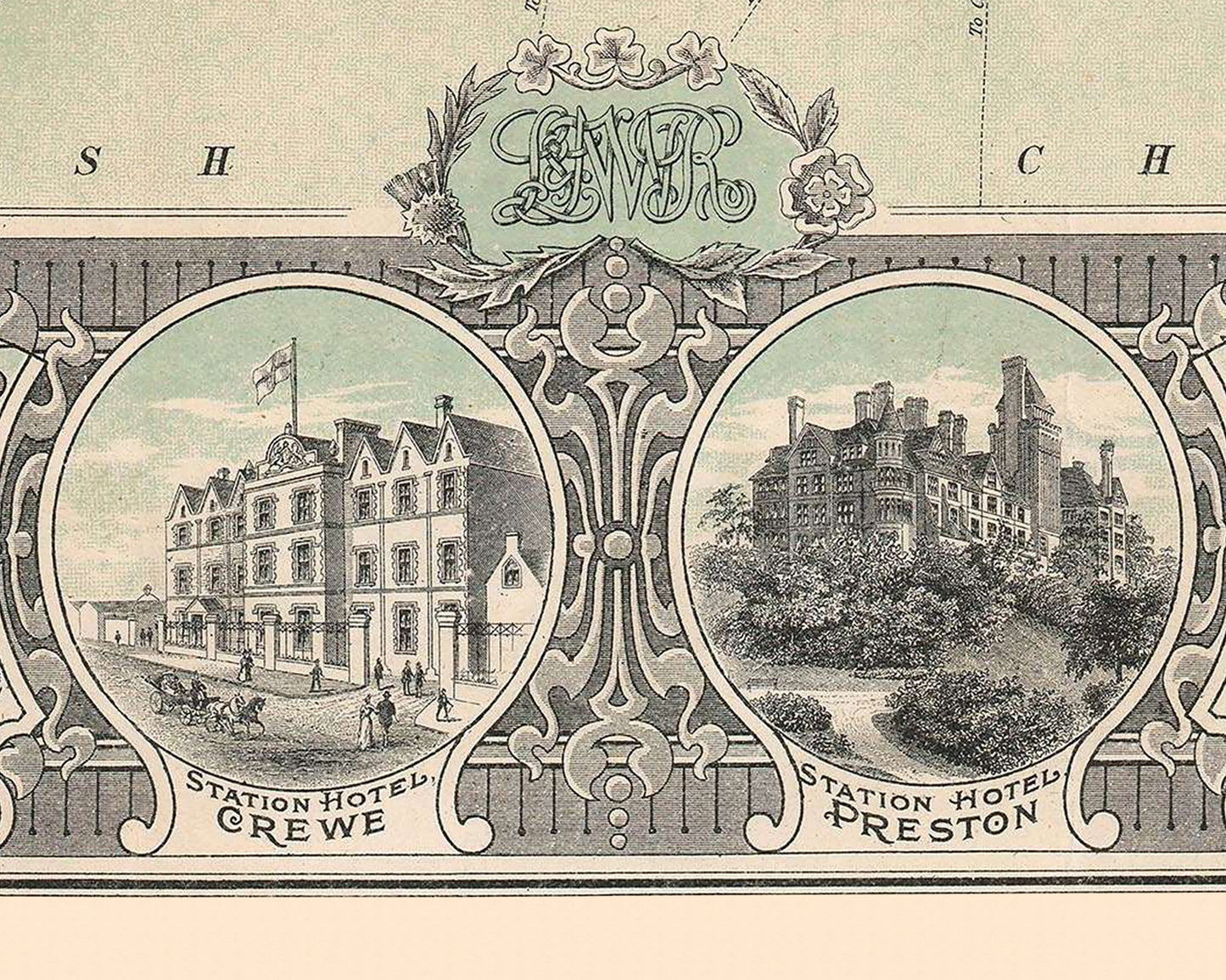
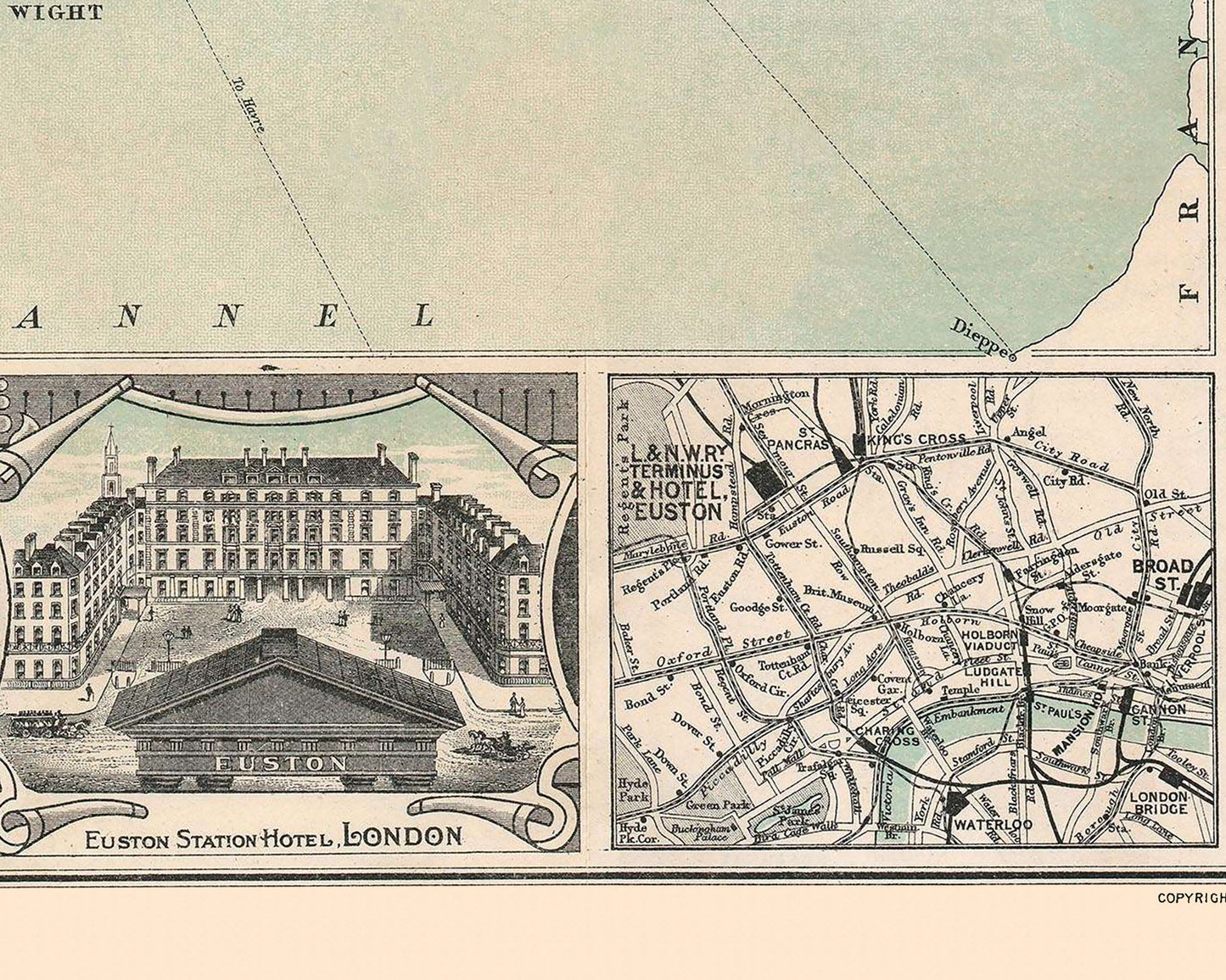
Features: ------------- • A superbly comprehensive map featuring hundreds of place names • A stunning decorative title and crest of the L&NWR from the 'Age of Steam' • Extra detailed map insets of the railways of London and of the North West • Shows not only L&NWR emboldened routes but also the routes of other railway companies • Also features coach and steamboat routes to Ireland and continental Europe • This is all offset by a decorative border which incorporates nine grand hotels along the illustrated routes
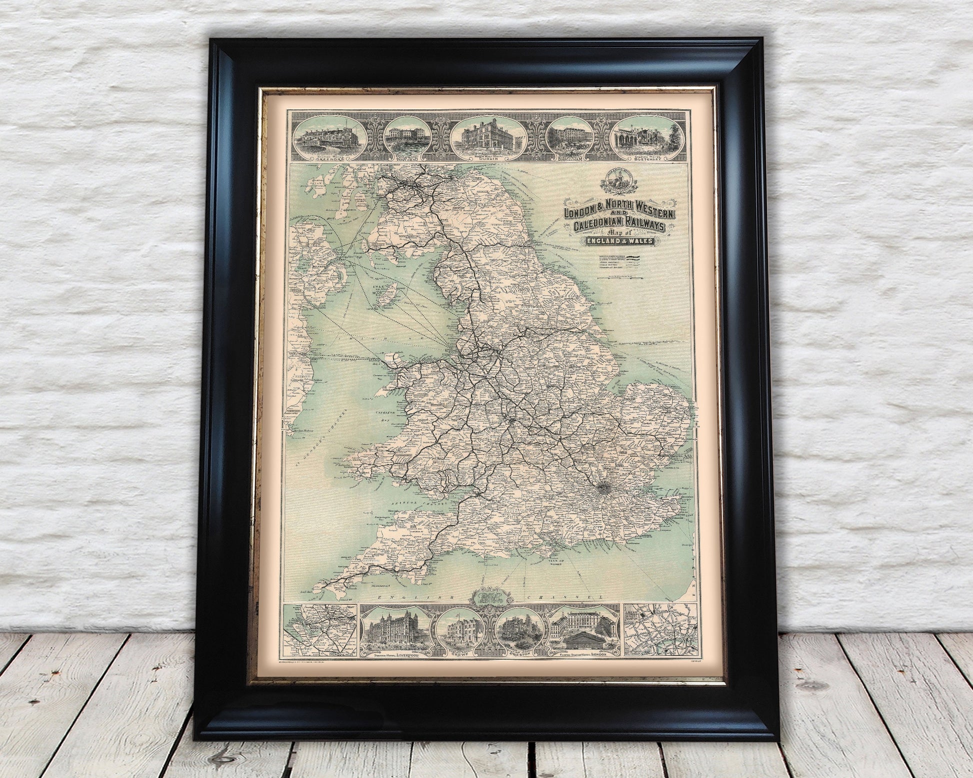
A classic work that creates a centrepiece for any home and would look stunning mounted. This print is produced on premium heavyweight 230gsm paper and uses the finest quality inks that will not fade or smudge.