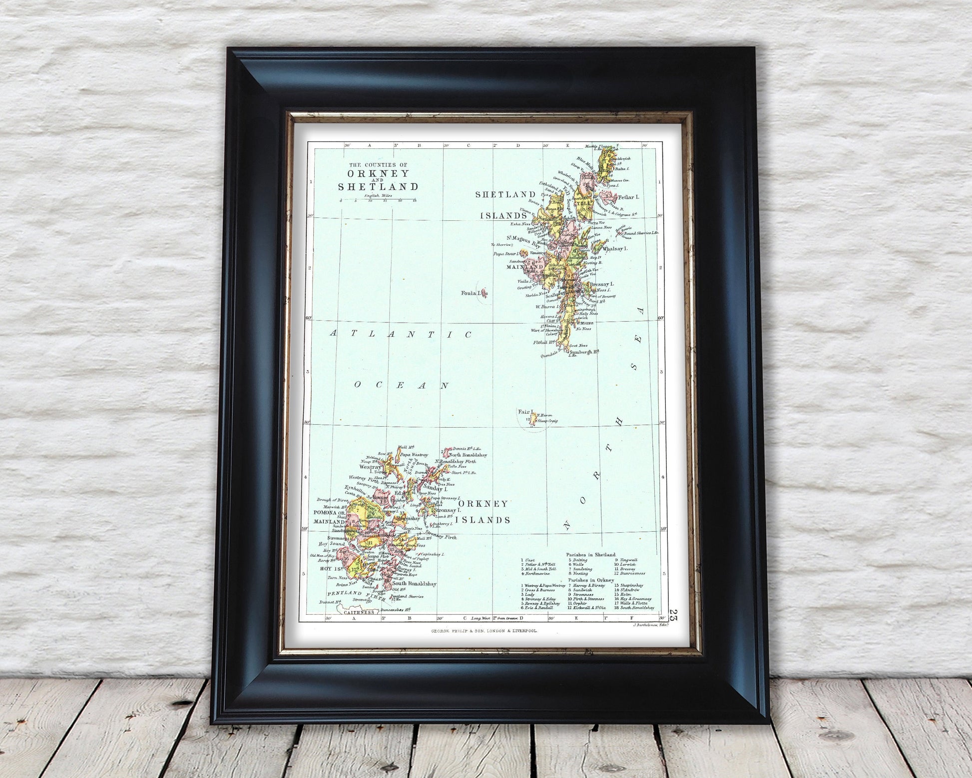
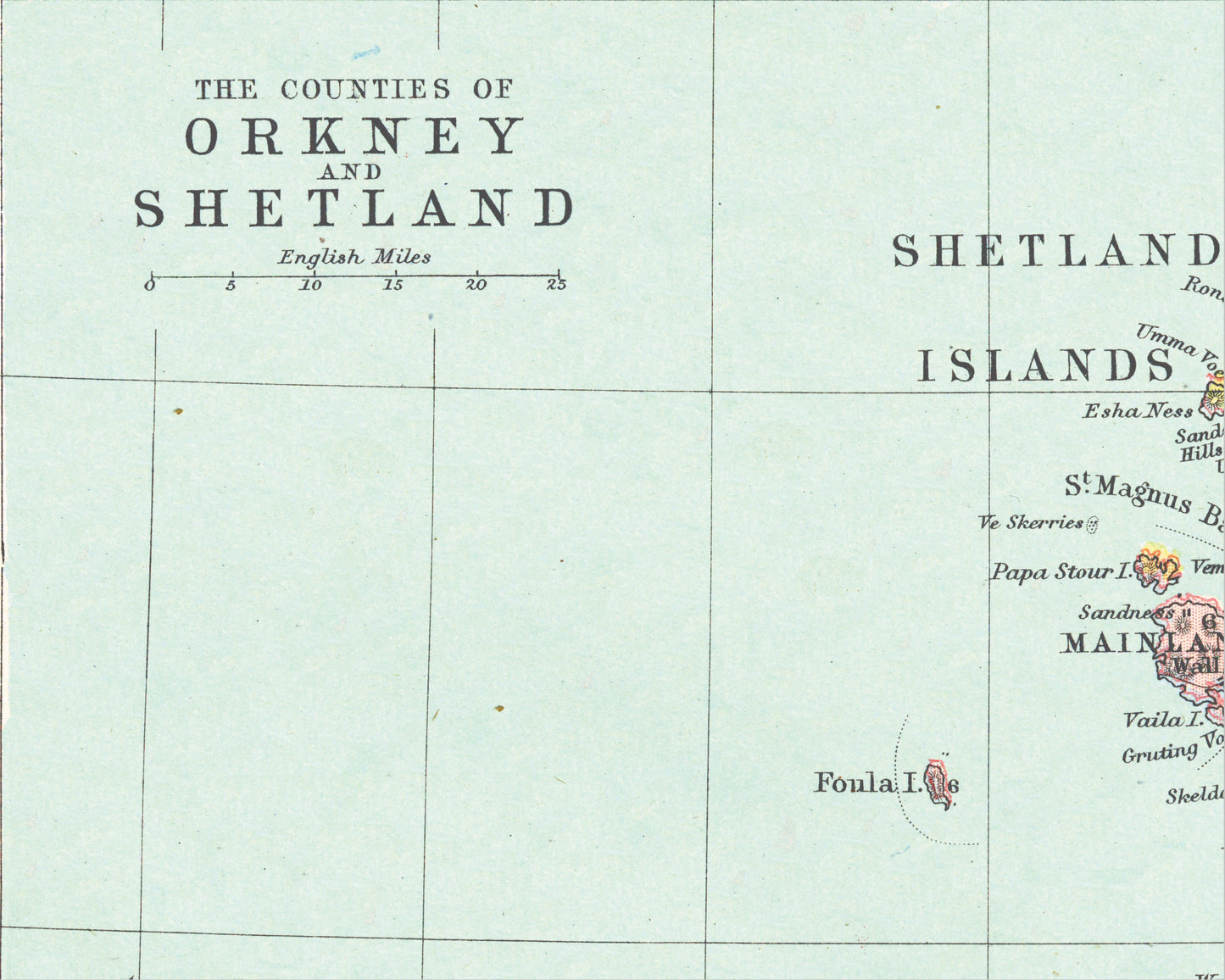
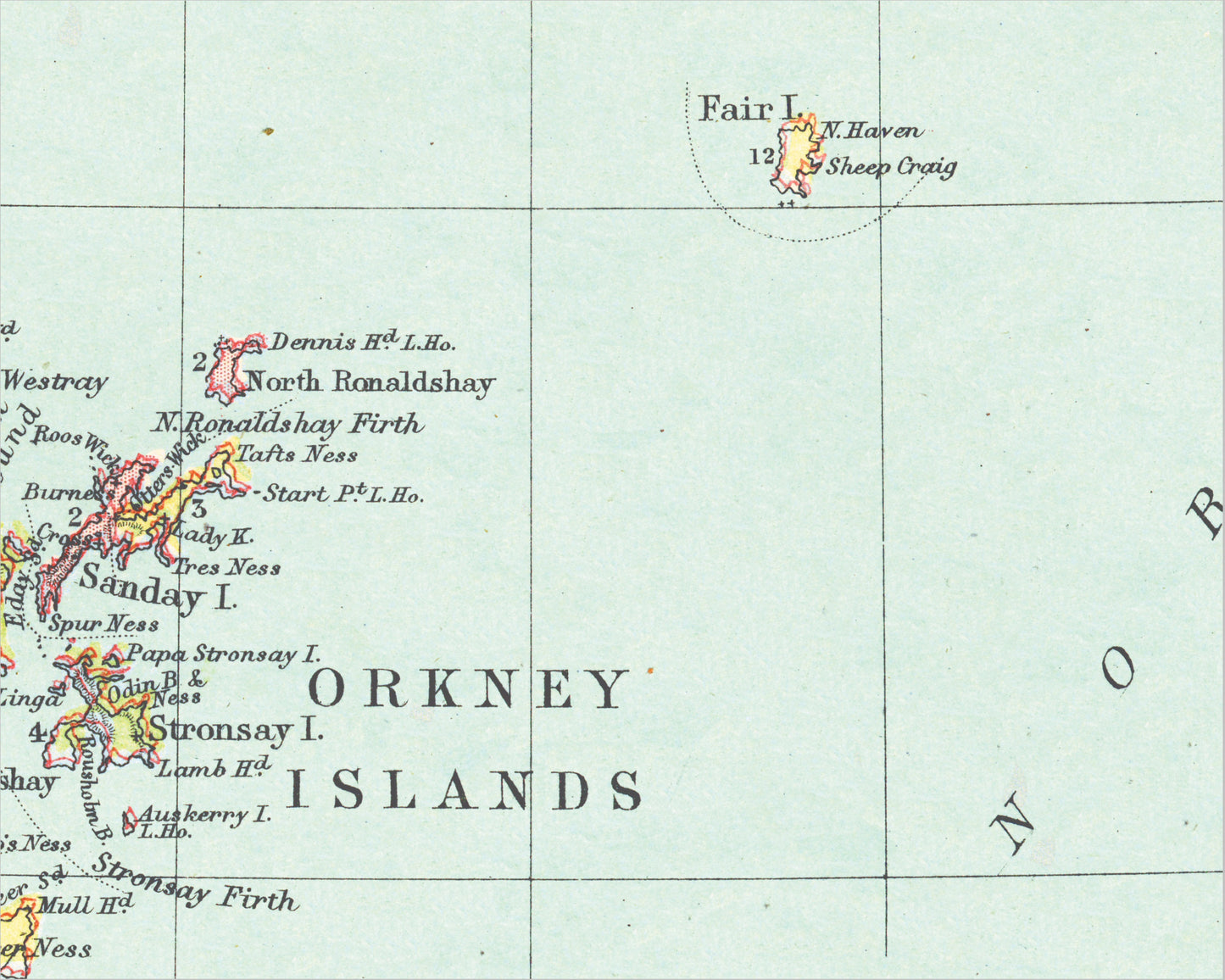
This superb map featuring both Orkneys and the Shetlands on one map was one of 32 Scottish maps produced by John Bartholomew and featured in the "Philips' Handy Atlas of the Counties of Scotland" published by George Philip & Son Ltd in 1886.
Included on the Orkney Islands map are Mainland, Orkney, Hoy Island, Sanday, Westray, South Ronaldshay and Eday. Yell, Mainland, Unst, Whalsay, Bressay and West Burra all feature on the Shetland Islands map.
My reproduction has been digitally cleaned to remove the fold mark and other signs of aging whilst retaining the integrity of the original piece.