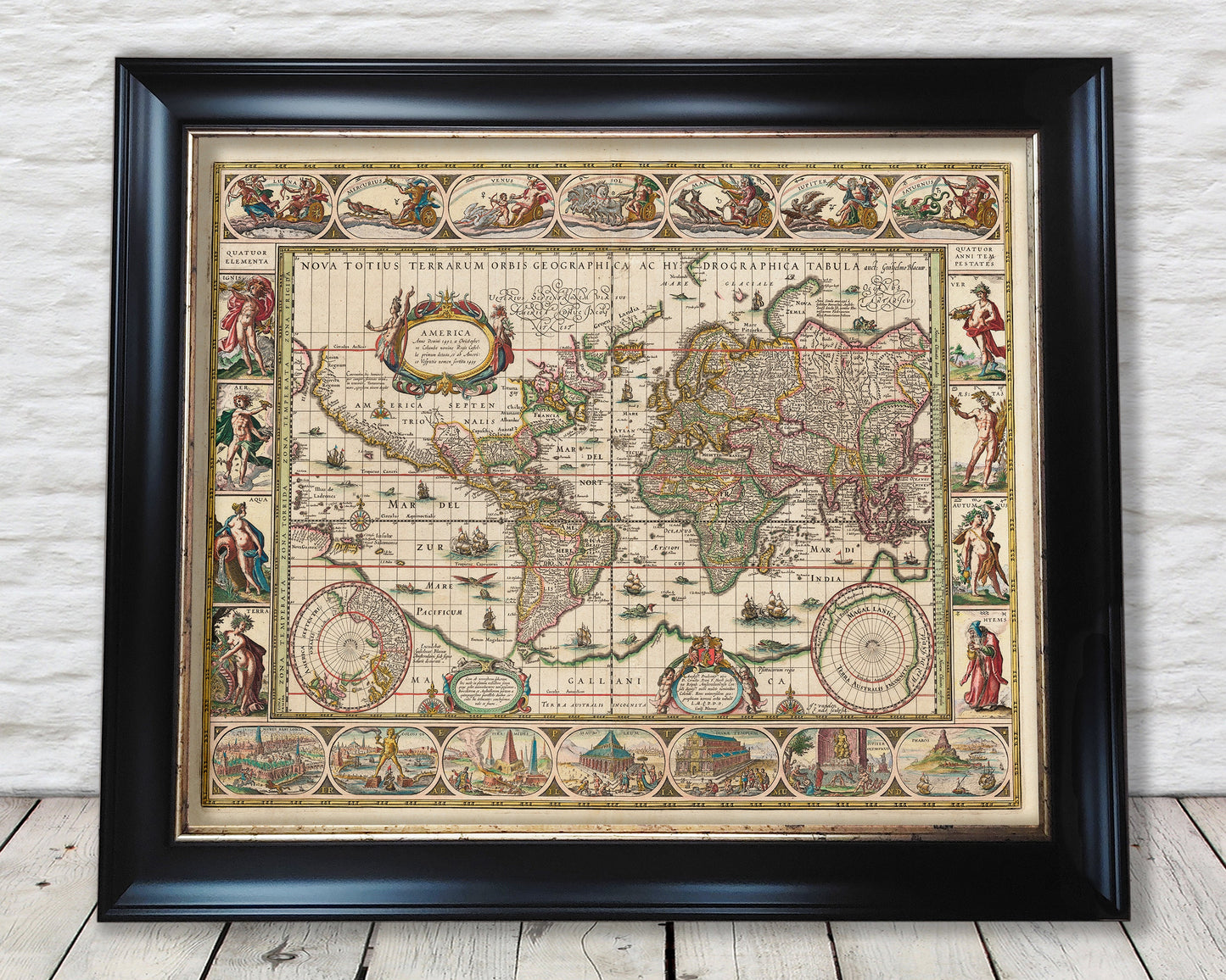
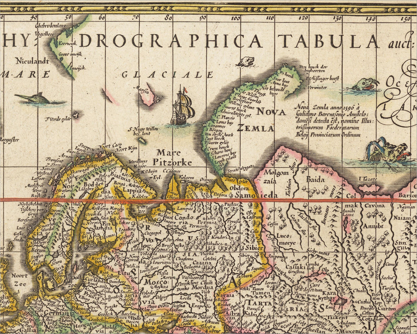
This exceptional decorative world map was created by famed cartographer Willem Janszoon Blaeu. Willem was a central member of the Golden Age of Dutch Cartography and this map is held to be one of the finest of its kind. This seventeenth century masterpiece uses Mercator's projection as evidenced by the regular grid of latitude and longitude lines.
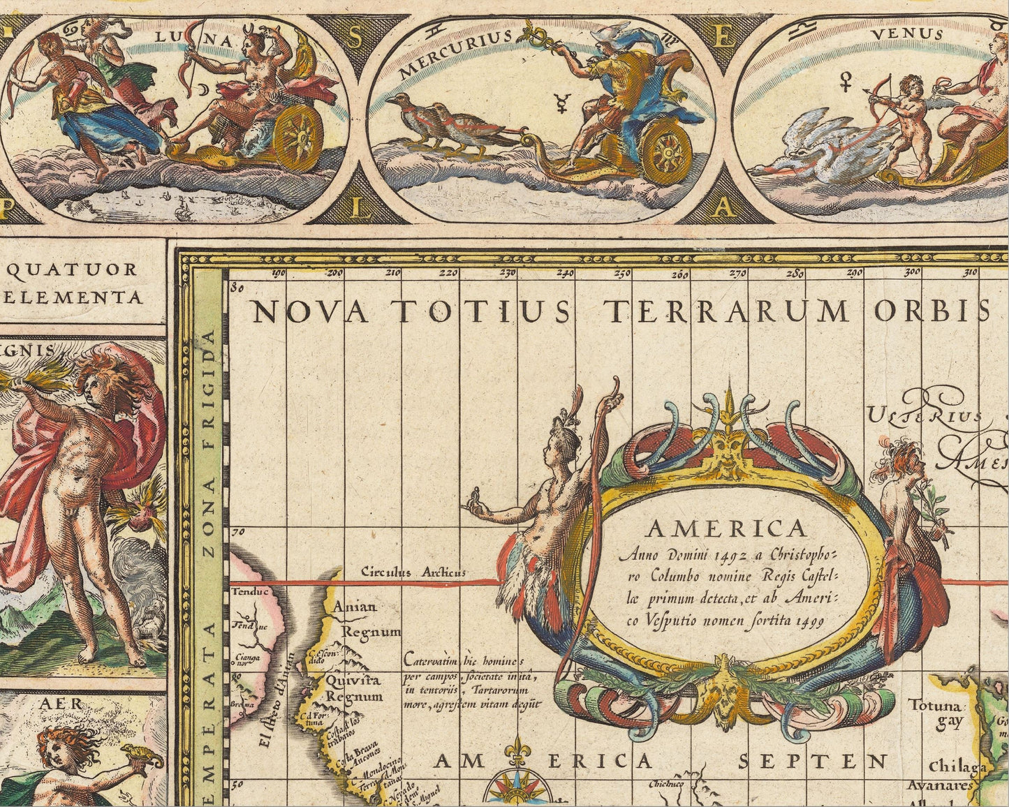
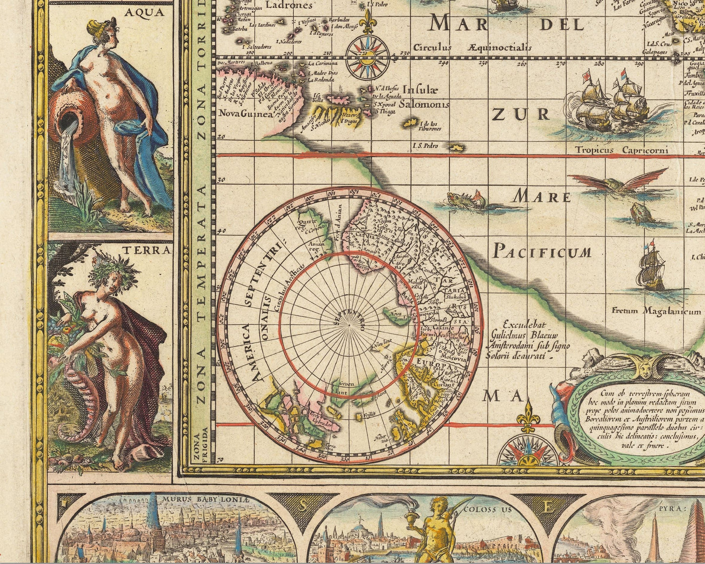
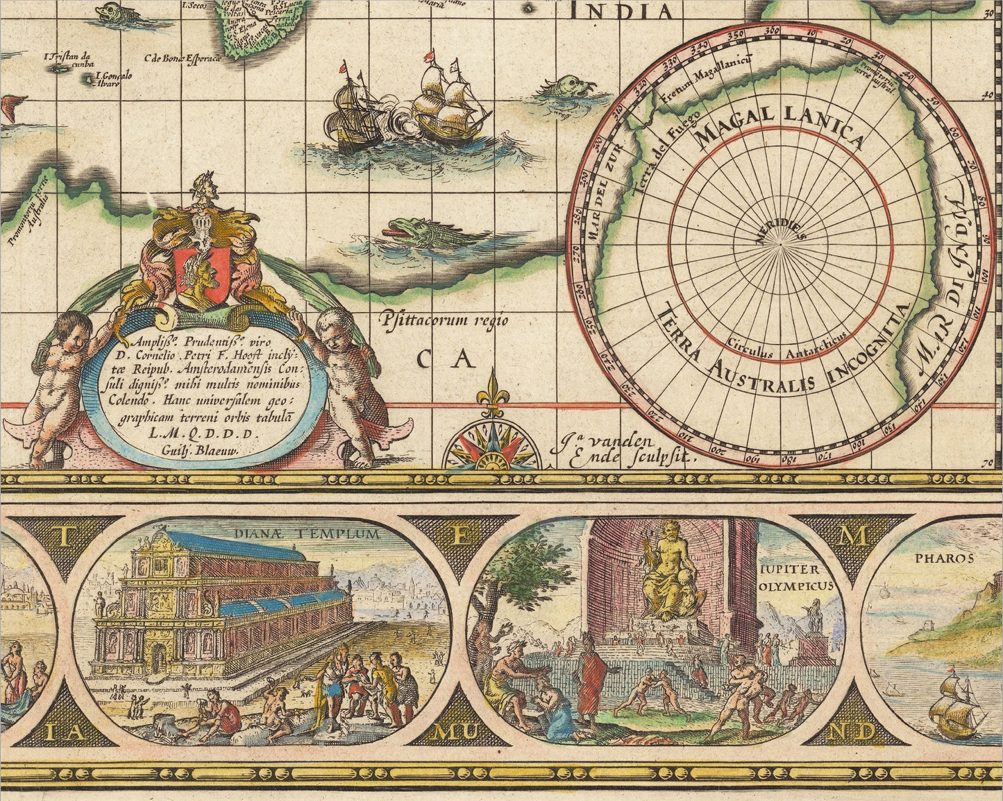
The map is bordered by a collection of charming vignettes. The upper border has representations of the five then known planets - Mercury, Venus, Mars, Jupiter and Saturn and of the Moon and Sun. The right hand panel has the four seasons. The lower has illustrations of the Seven Wonders of the Ancient World - Colossus of Rhodes, Great Pyramid of Giza, Hanging Gardens of Babylon, Statue of Zeus at Olympia, Temple of Artemis at Ephesus, Mausoleum at Halicarnassus, and Lighthouse of Alexandria. Concluding, the left hand side has depictions of the four elements - Earth, Fire, Water and Air.
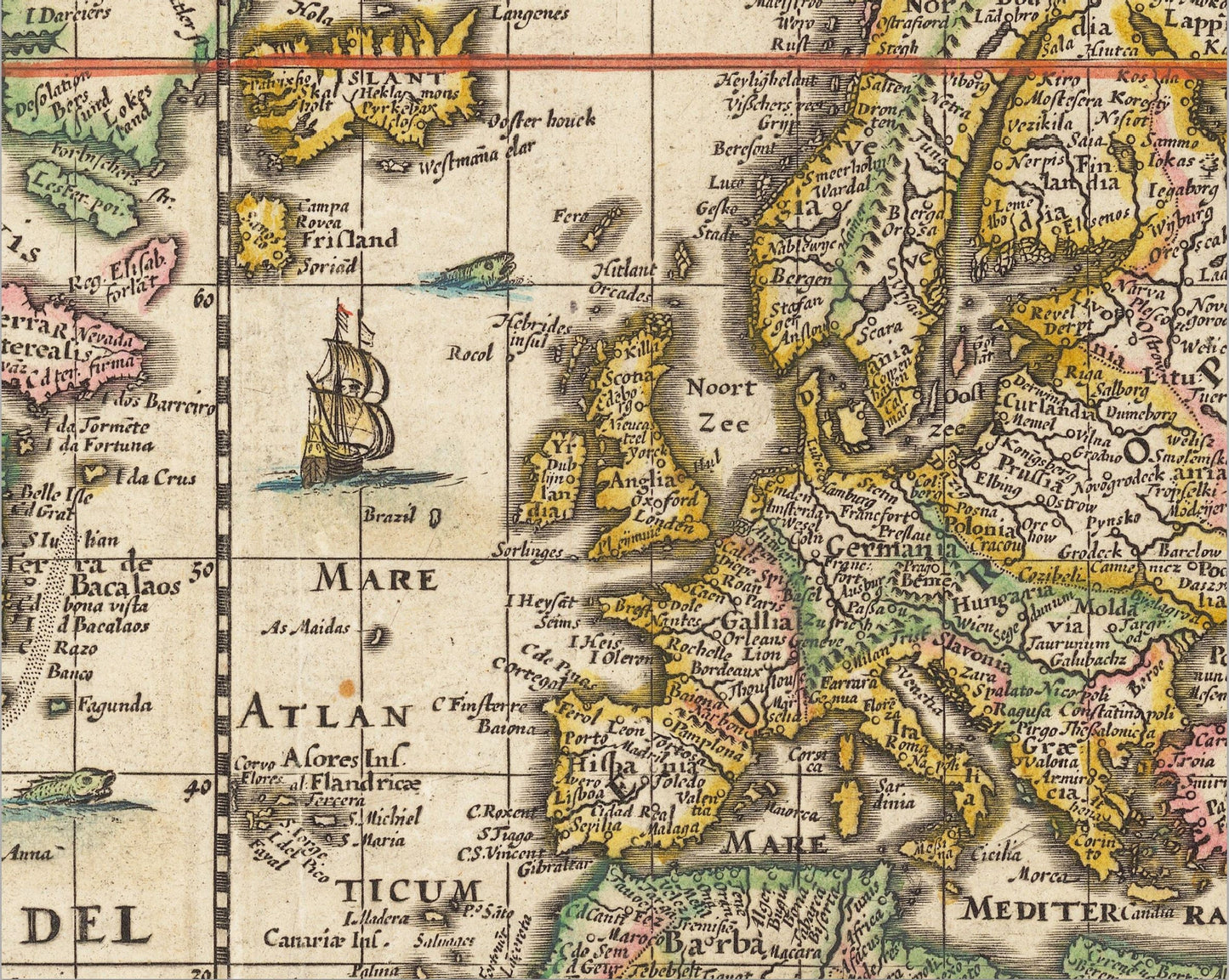
The map is entitled "A New Geographical And Hydrographic Map Of The Whole Earth" which shows the extent of the earth that had been discovered by the seventeenth century. A little poetic license is added by the inclusion of a variety of sea monsters! This is a very charming map that is easy on the eye.
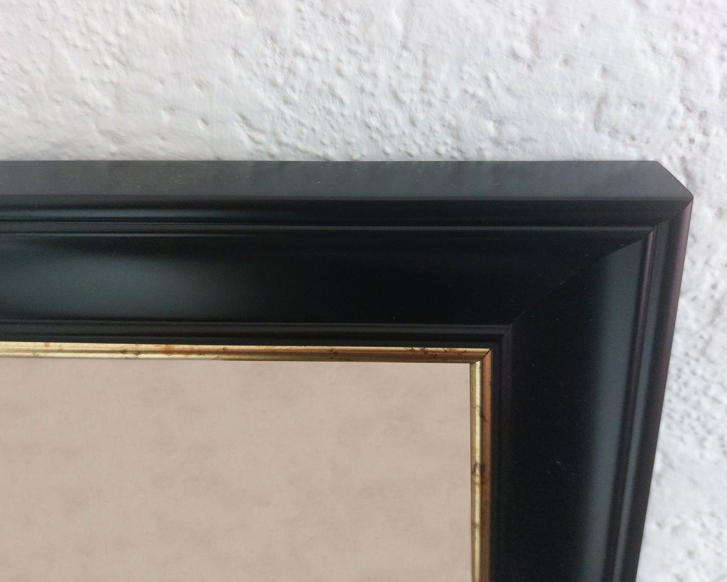
This is a highly sought-after work and is sure to form an interesting conversation piece to any living room. This piece looks stunning mounted as shown in our 20" x 16" framed edition.