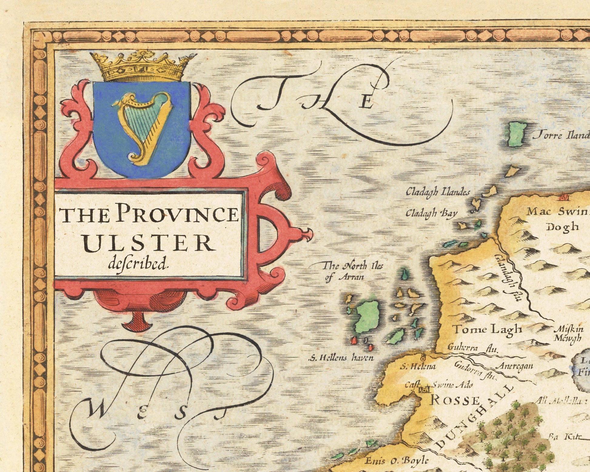
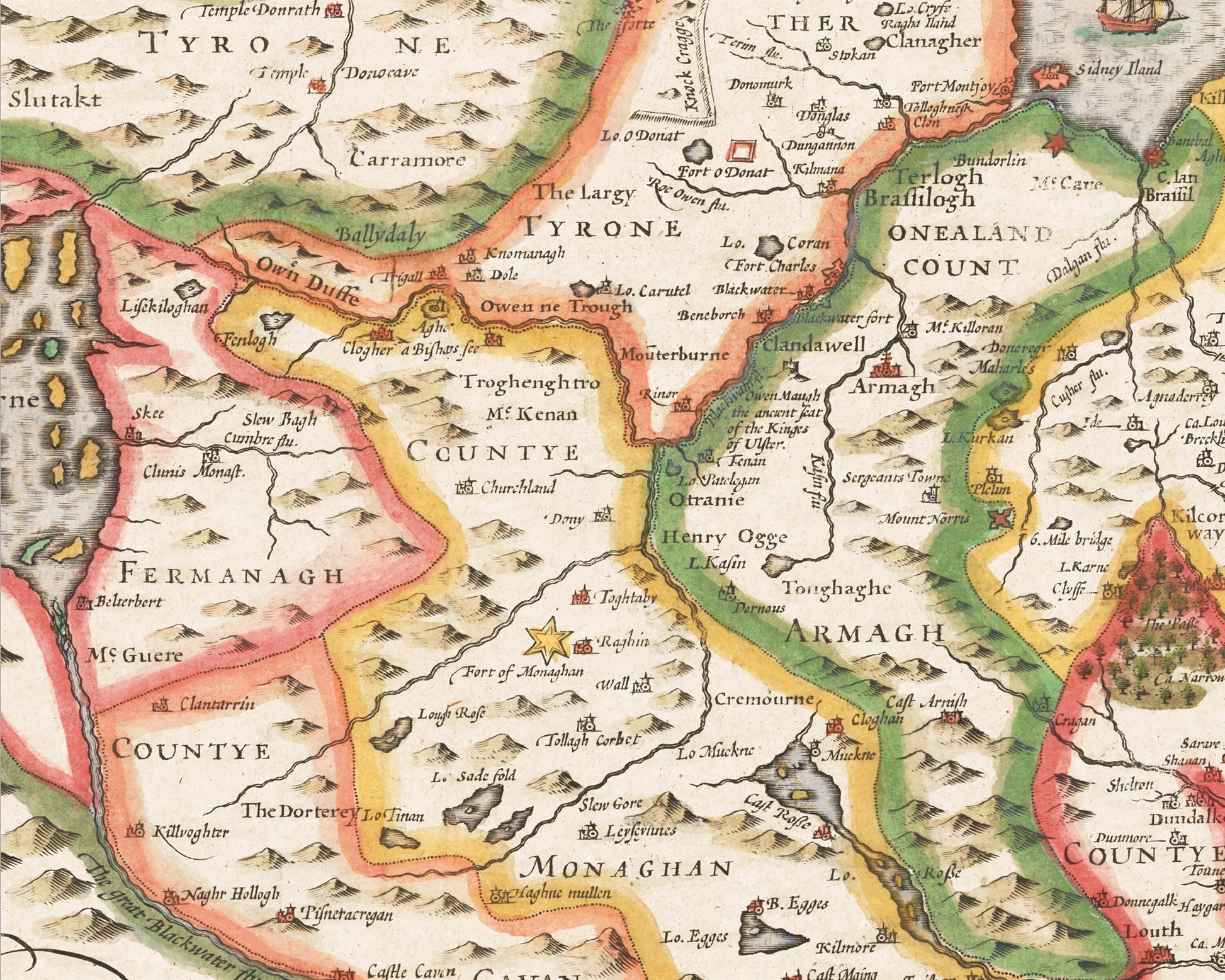
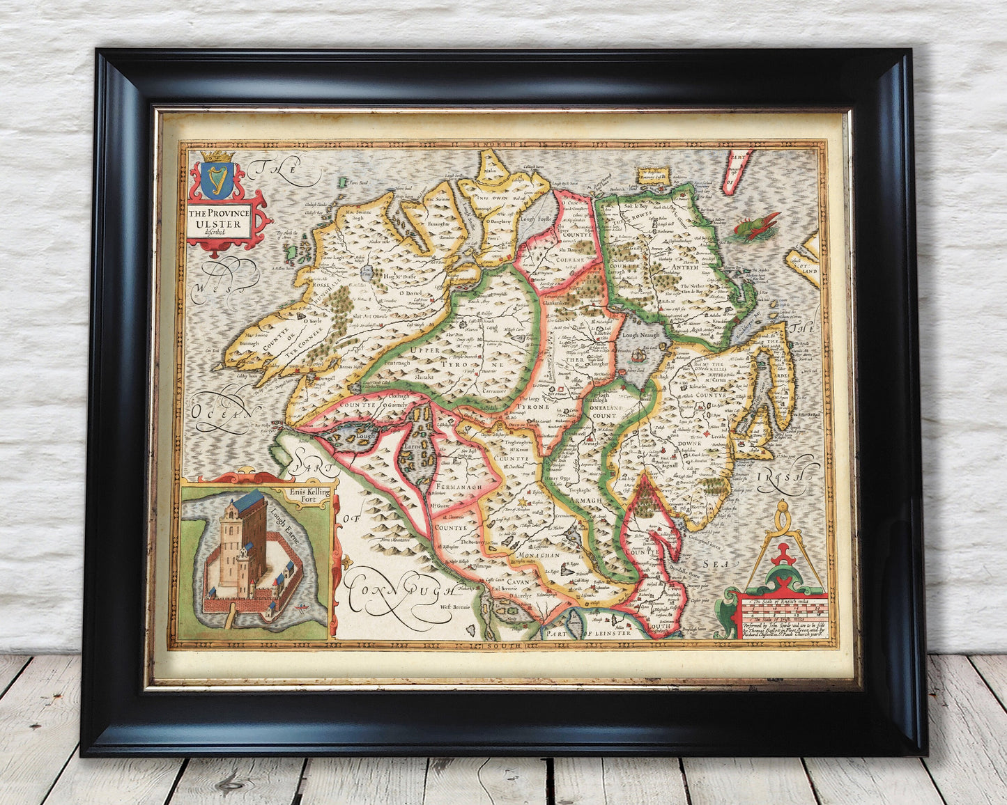
This classic piece was produced by John Speed the best-known mapmaker of the Stuart period. It is a wonderful example of a decorative province map that was produced over 400 years since.
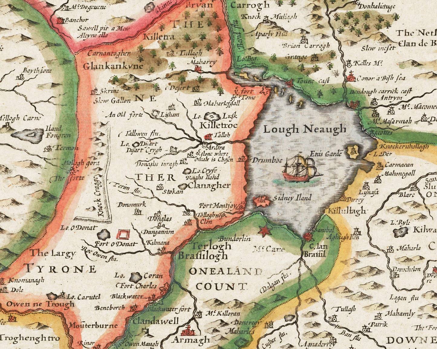
The current province of Ulster comprises of nine counties being Antrim, Armagh, Down, Fermanagh, (London)derry, Tyrone, Cavan, Donegal and Monaghan - the first six make up the modern-day Northern Ireland whilst the latter three are in the Republic of Ireland.
This map covers many towns and villages from seventeenth century Ireland. A number of the spellings from then are quite interesting such as Antrym, Derrie and Strebane.
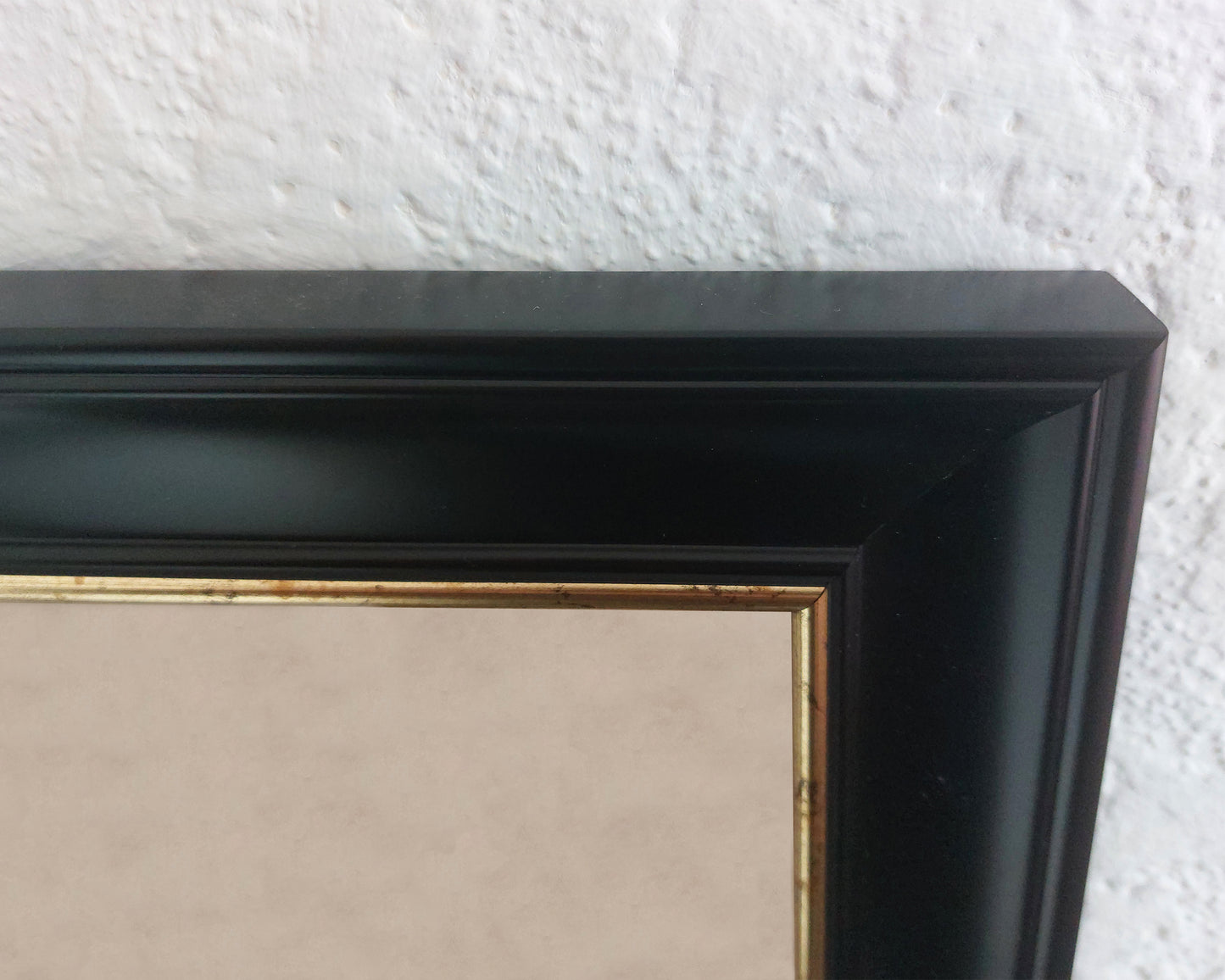
This beautiful full colour antique reproduction looks stunning mounted and forms a striking centrepiece to any room.
I have undertaken a light digital clean to mask certain age-related blemishes but it remains faithful to the original map
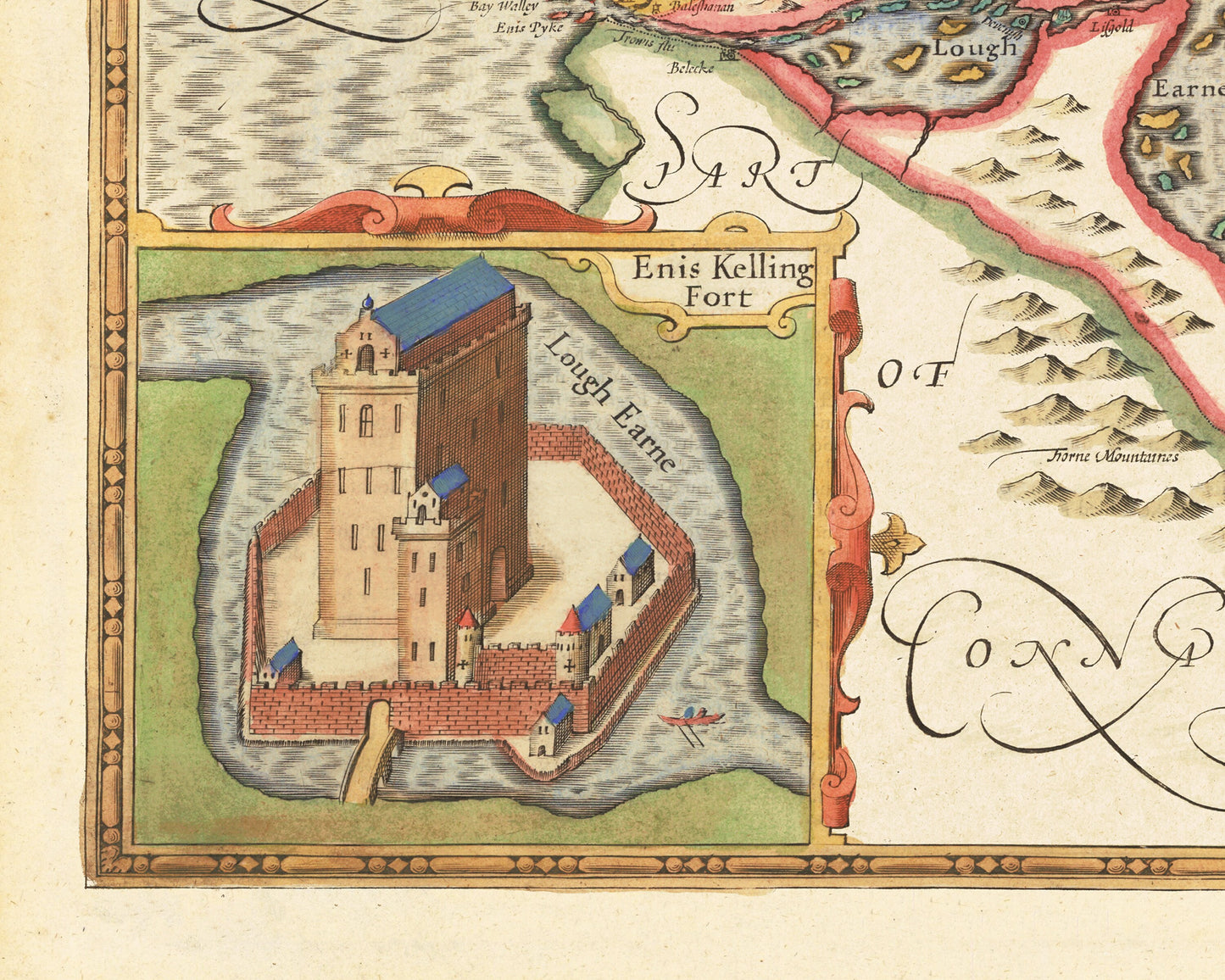
Features: ------------- • A detailed geography of the hills, rivers and forests within Ulster in the early 17th century • This is a comprehensive map that plots many placenames • A superb vignette of Ennis Kelling Fort • Offset by a beautifully ornate border encompassing the title Ulster within it