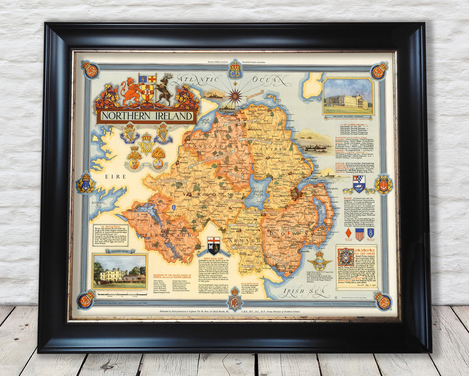
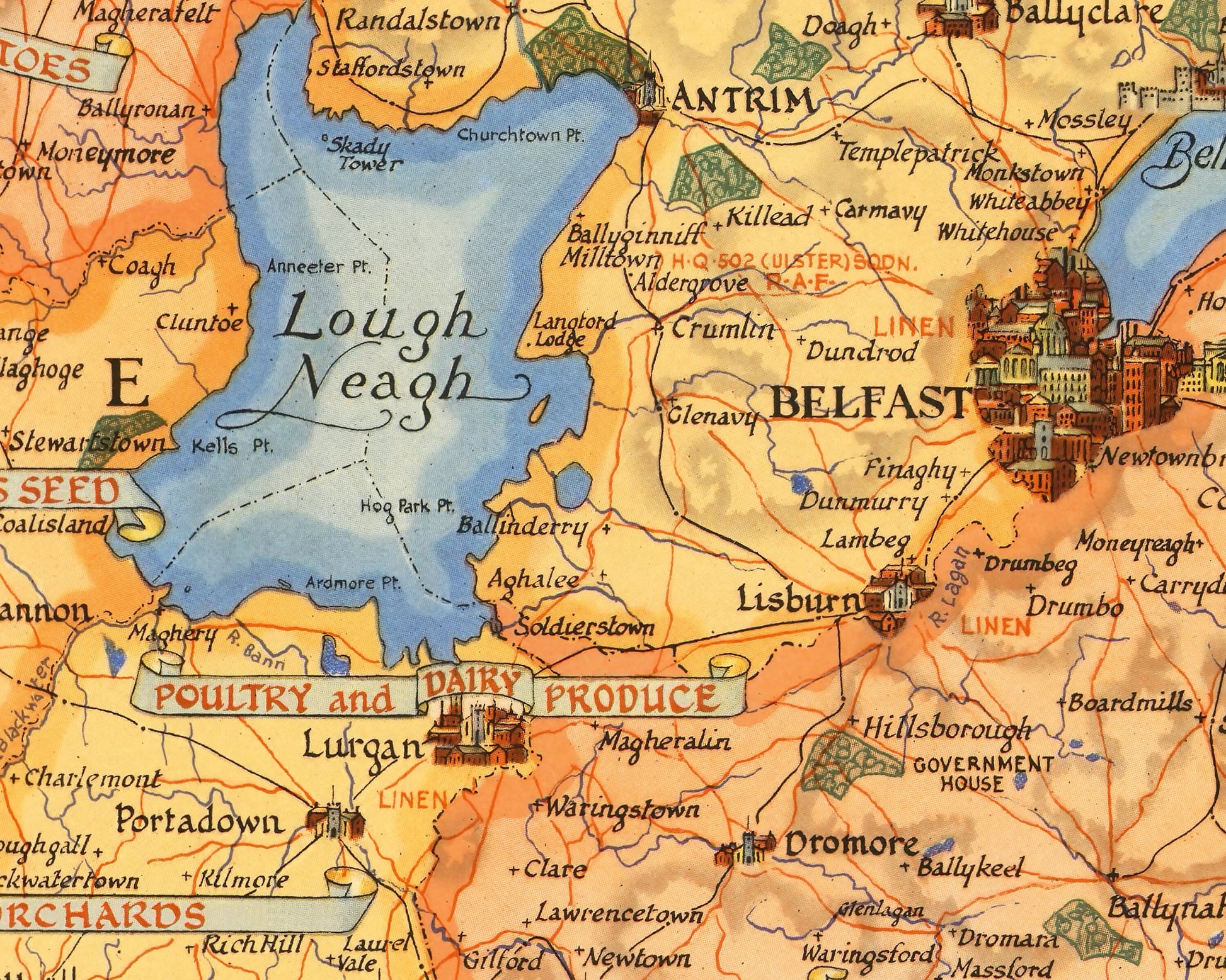
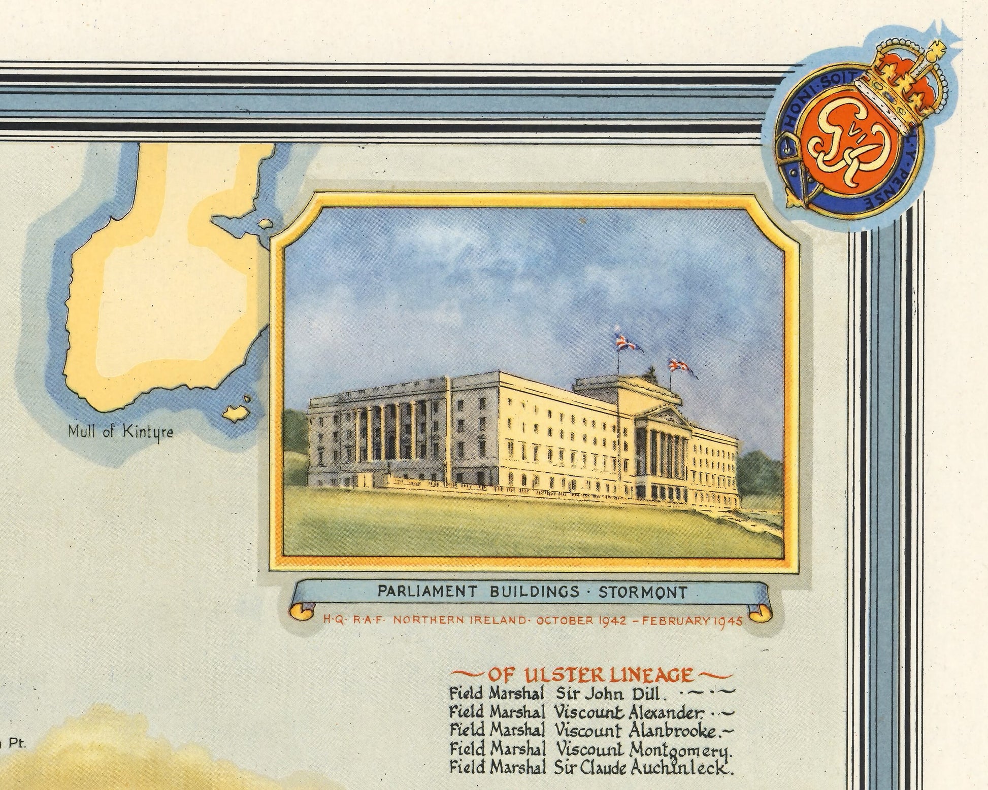
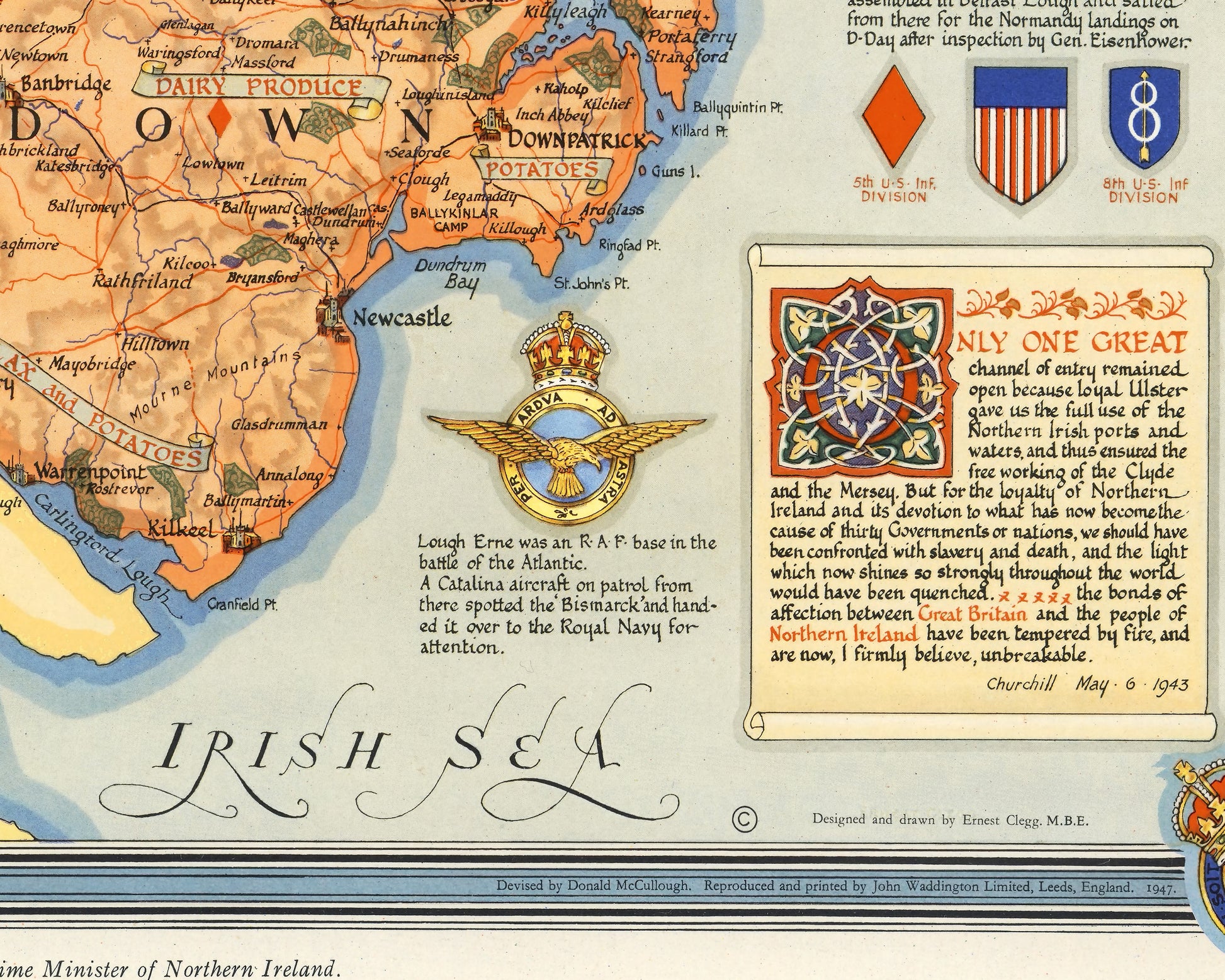
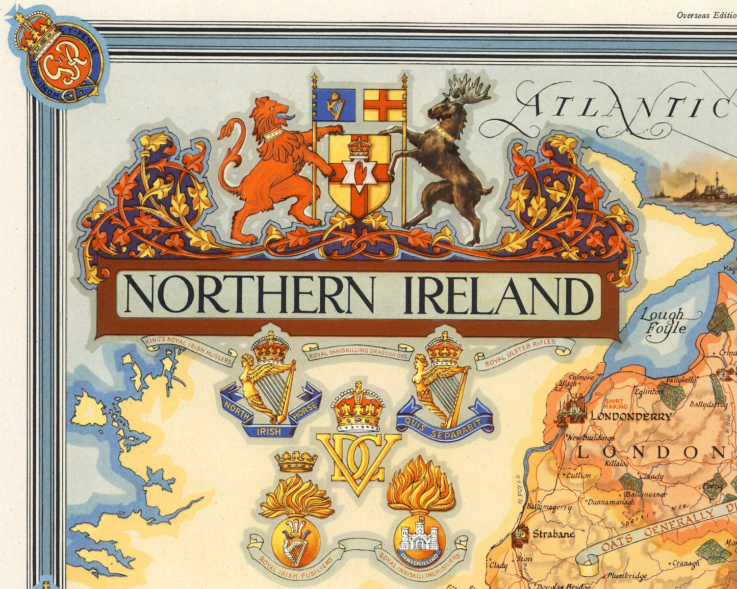
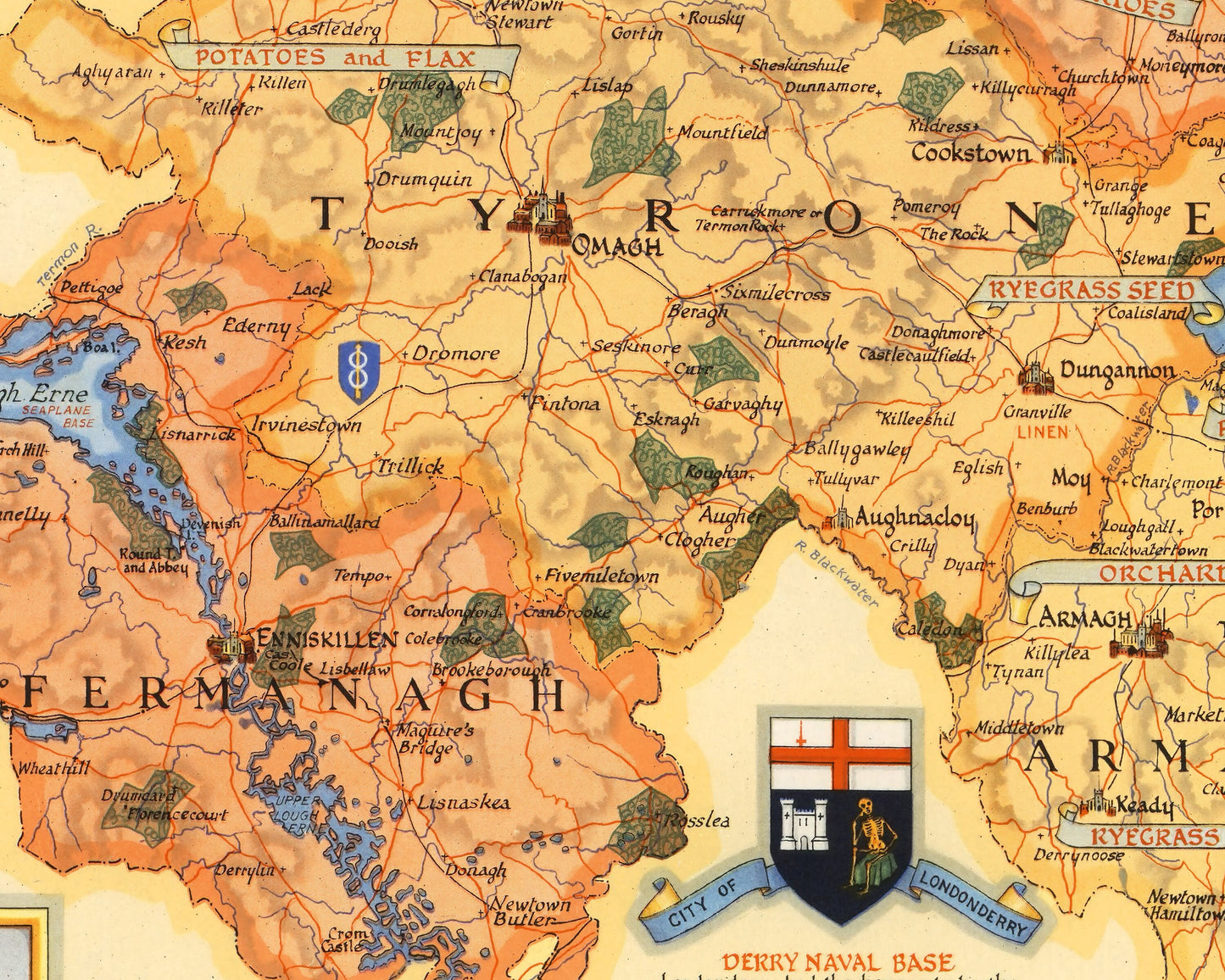
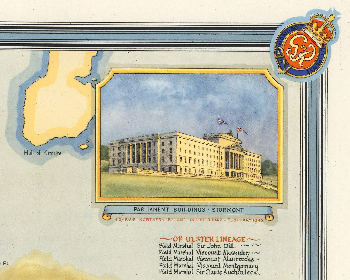
This superb map of Northern Ireland was created by Ernest Clegg. Northern Ireland is made up of six counties being Antrim, Armagh, Down, Fermanagh, Londonderry/Derry and Tyrone. These six counties form part of Ulster, the other three Cavan, Monaghan and Donegal are in the Republic of Ireland. Clegg's map was made in 1947 and focuses on the significant contribution that Northern Ireland made towards fighting the Second World War. The key roles of Belfast and Derry/Londonderry as important naval ports is highlighted and are mentioned in one of Churchill's speeches noted on the map. Northern Ireland was only important in producing crops and livestock to aid the war effort from orchards in Armagh, Potatoes of Londonderry and Tyrone and cattle and horses of Antrim being examples.
Insignias of the Royal Irish Fusiliers, Royal Ulster Rifles, Royal Inniskilling Fusiliers and Dragoon Guards, and the King's Royal Irish Hussars are all shown. Furthermore there is a list of thirteen American presidents that were from Ulster lineage.
This is a highly sought-after work and is sure to form an interesting conversation piece to any living room. This piece looks stunning mounted as shown in our 20" x 16" framed edition.