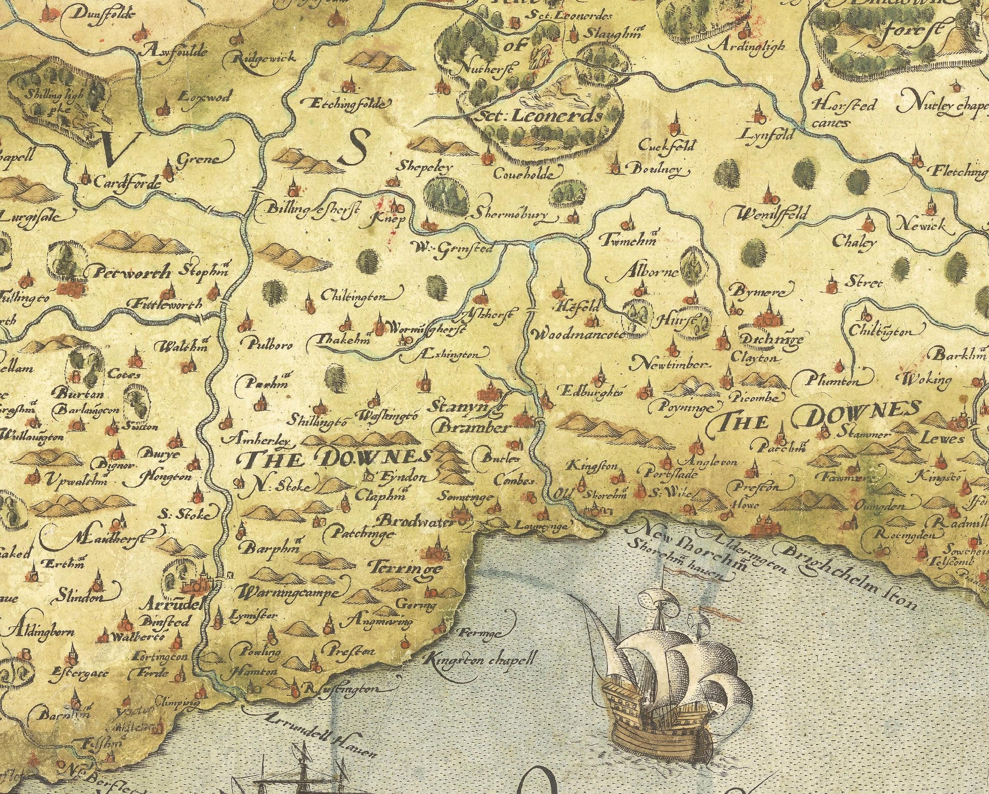
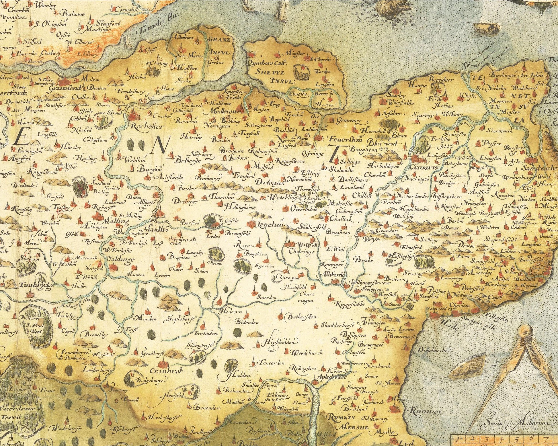
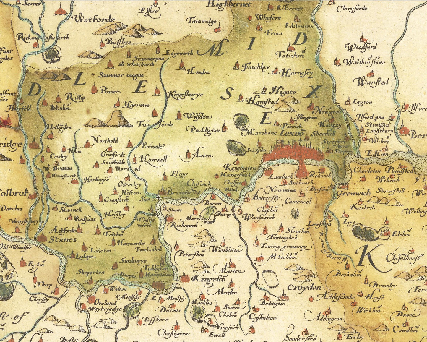
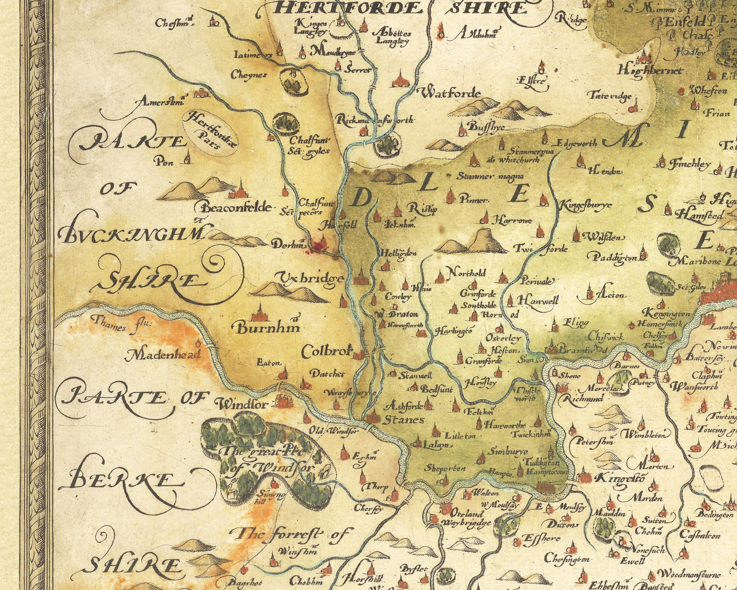
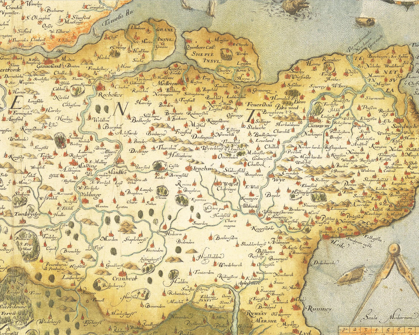
This is a fine example of Christopher Saxton's map of Kent, Sussex, Surrey and Middlesex, dated 1575, the 17th year of the Reign of Queen Elizabeth I. The present example is state 2 of the map, which is the state of the map that appeared in Saxton's atlas.
This is one of the earliest and most important English maps, covering the Southeastern part of England and dissected by the Thames River, with London prominently located near the top centre of the map. Embellished with sailing ships, sea monsters and an elaborate strapwork cartouche and scale of miles, it is among the most important 16th Century English maps.
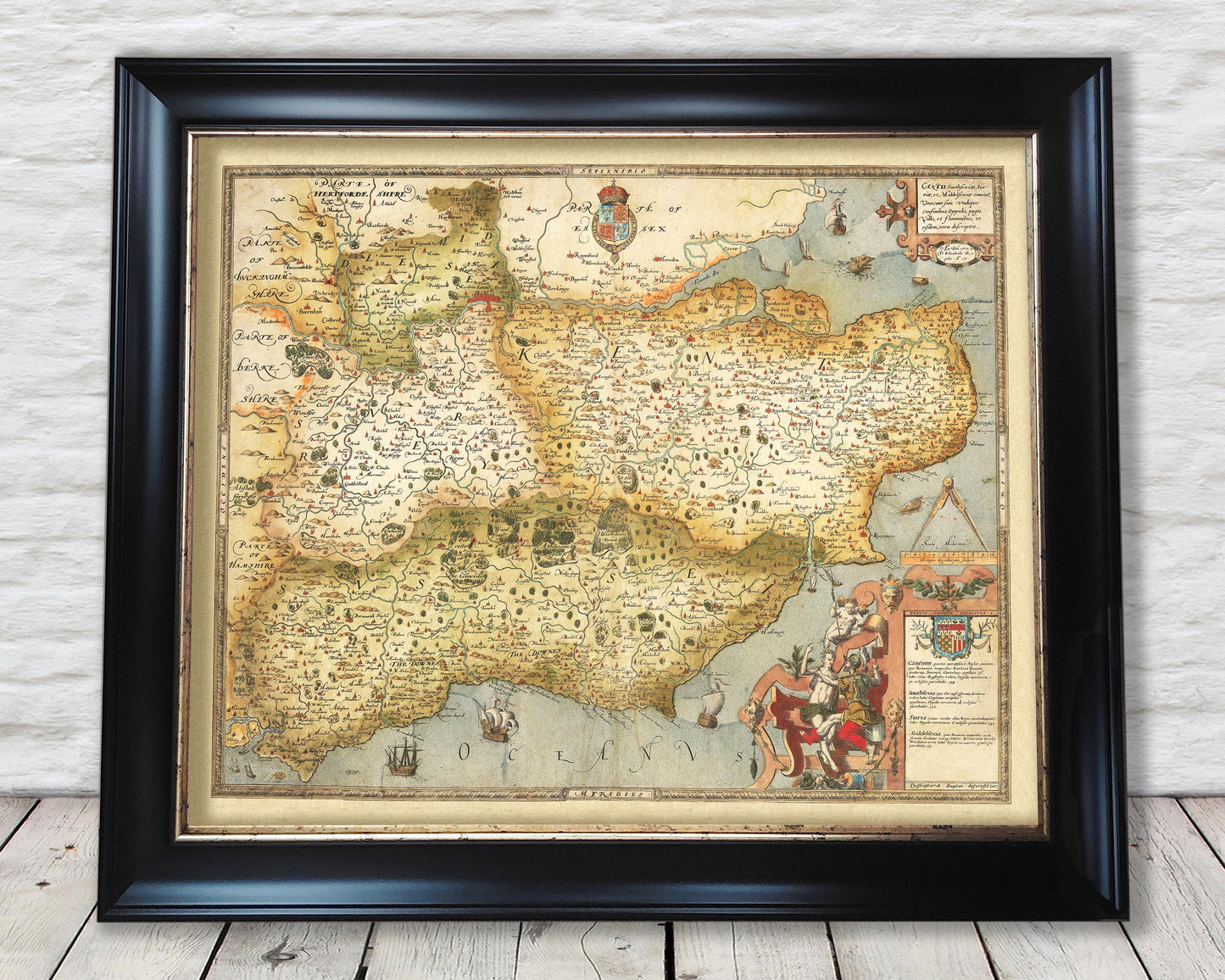
This piece is highly sought-after work and is sure to form an interesting conversation piece to any living room. This piece looks stunning mounted as shown in either our A2 or 20x16 inch framed editions.