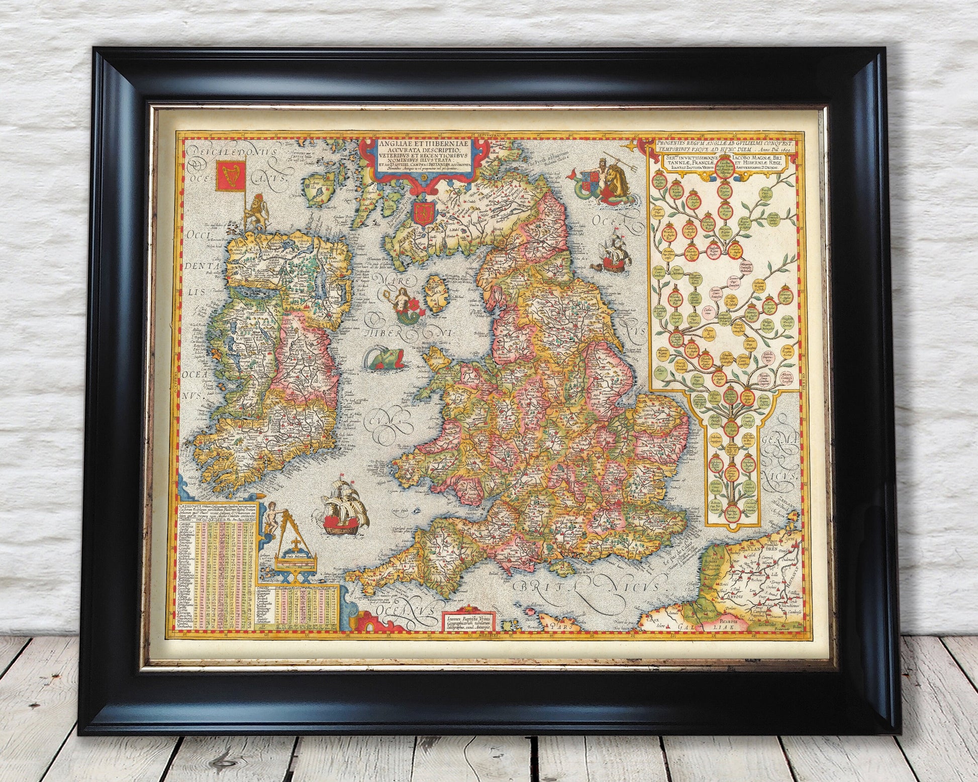
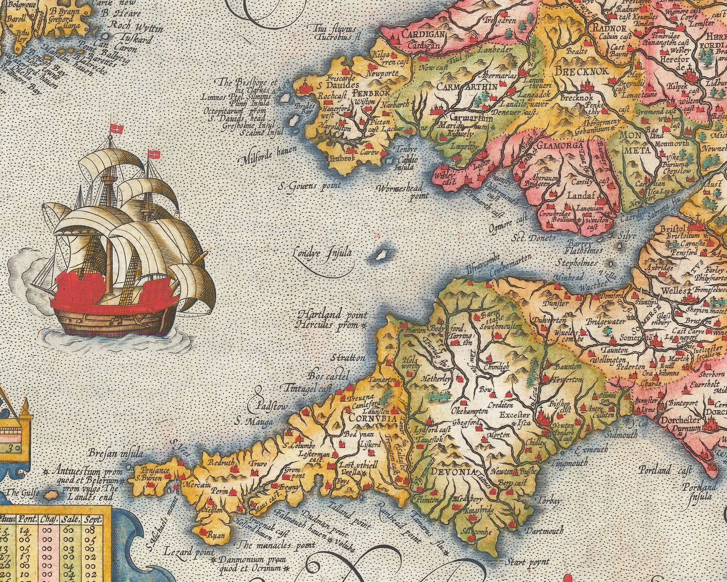
This is a superb map of England and Ireland based on the work of the master cartographer Abraham Ortelius.
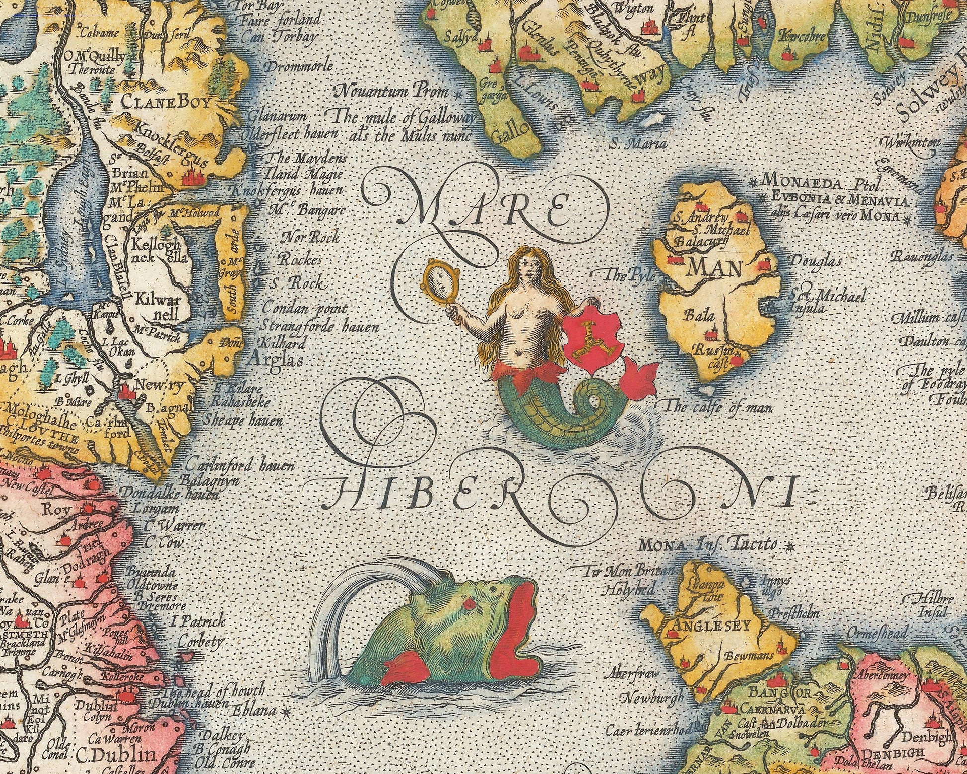
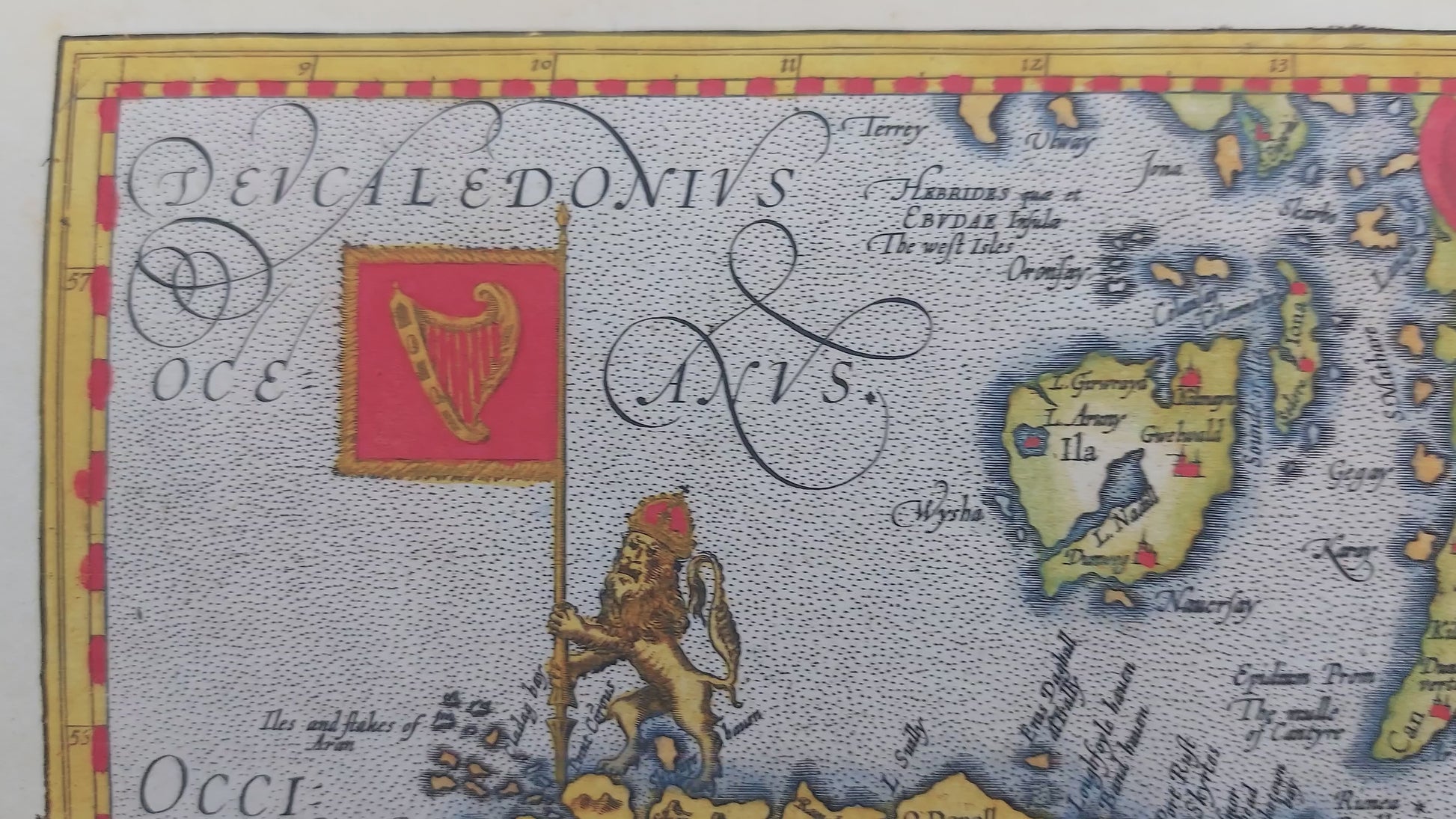
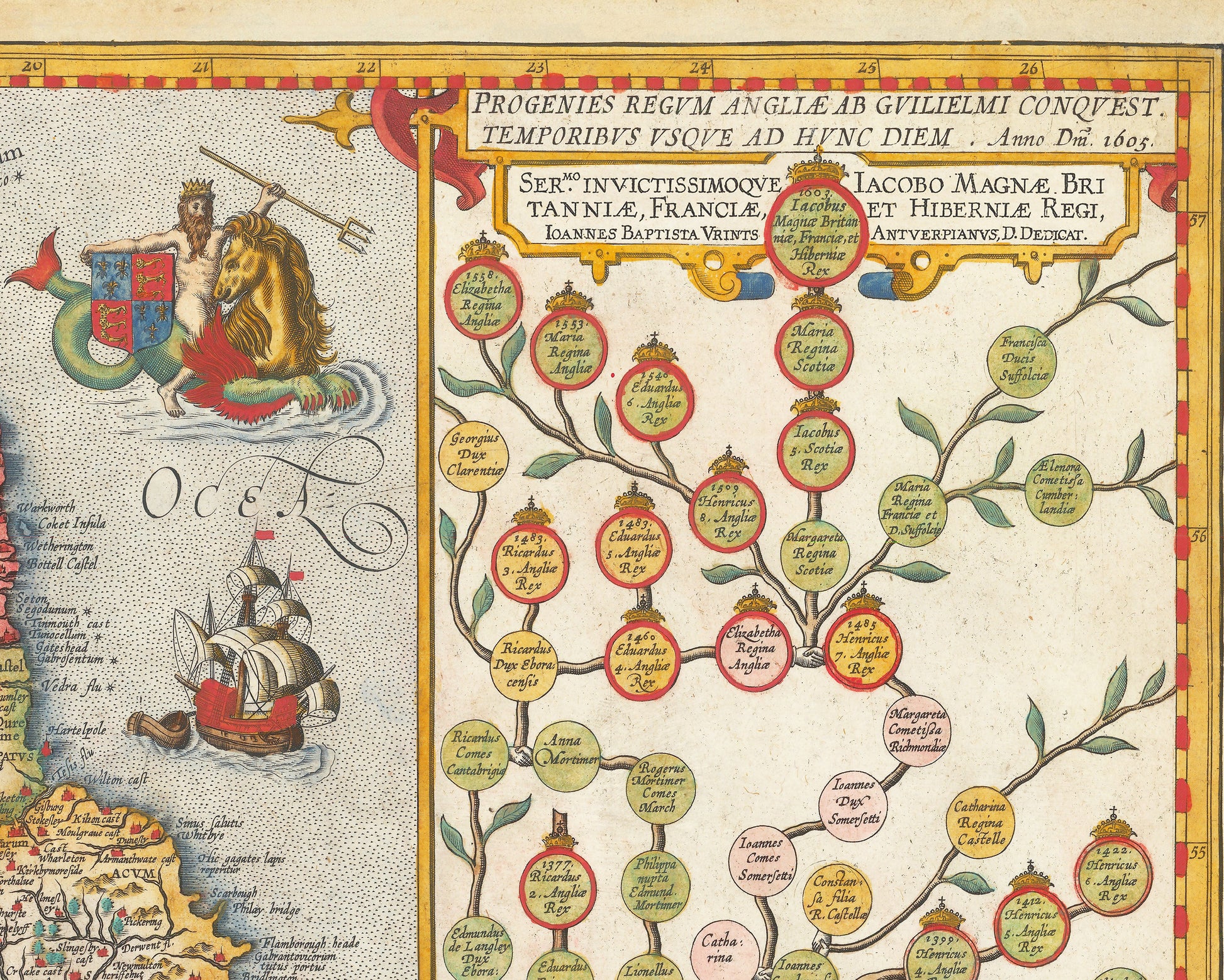
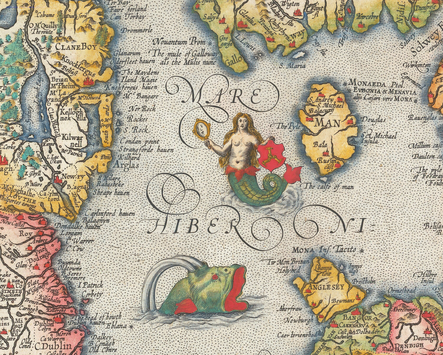
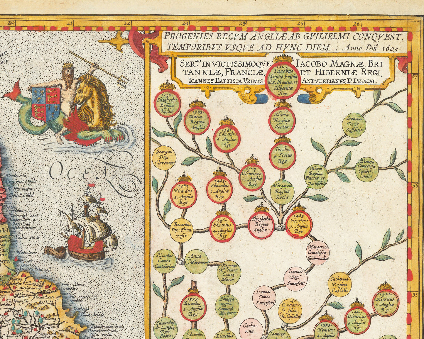
The map includes a genealogical table for the English Royal Family, at the right side, which traces the lineage of James I and VI directly from William the Conqueror, who successfully invaded England in 1066. Other details herald more noble ties. A Poseidon-like figure, astride a hippocampus, holds the arms of the House of York. A mermaid bears the arms of the Isle of Man, while the coat of arms of Scotland is installed near the Firth of Clyde (here Dunbreton Fyrth). A crowned lion holds the Irish flag with its harp, a reference to English colonization of the isle.
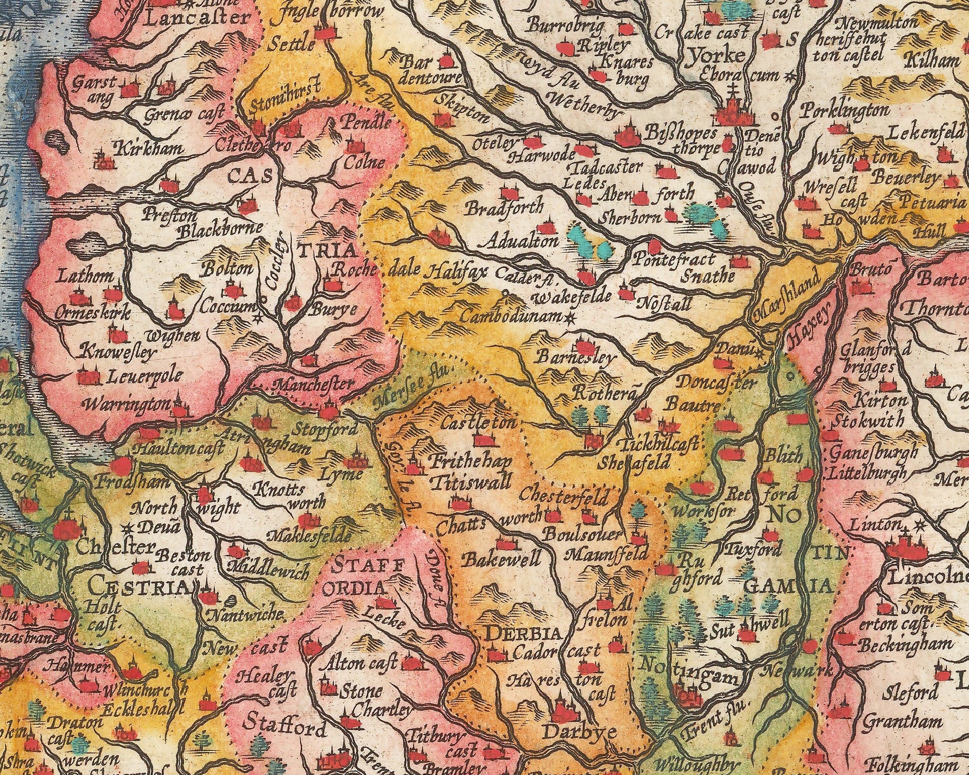
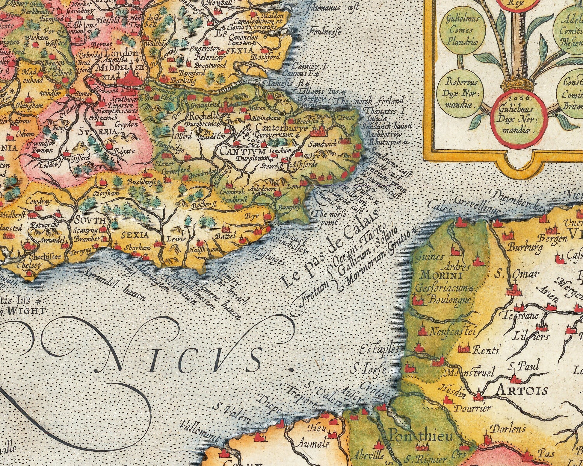
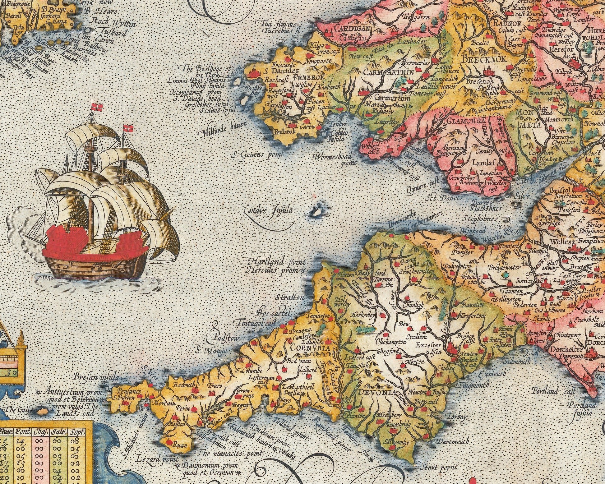
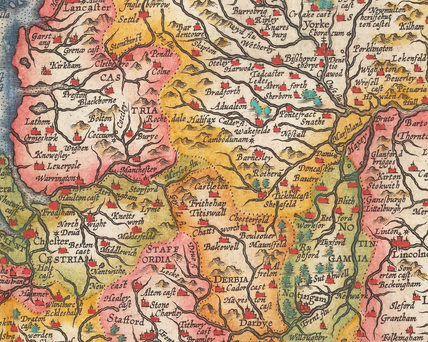
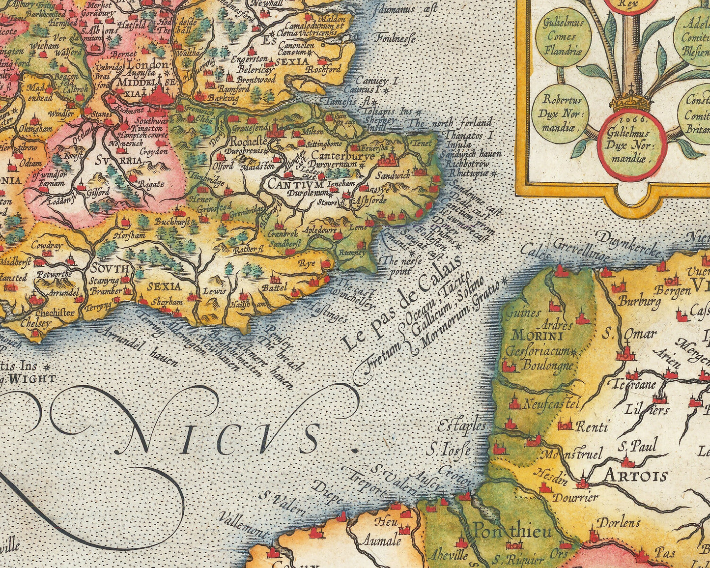
The map includes both modern and ancient names for cities and sites across the isles. In the bottom left is a clever table that lists the number of towns, churches, parishes, rivers, bridges, and other features in each county.
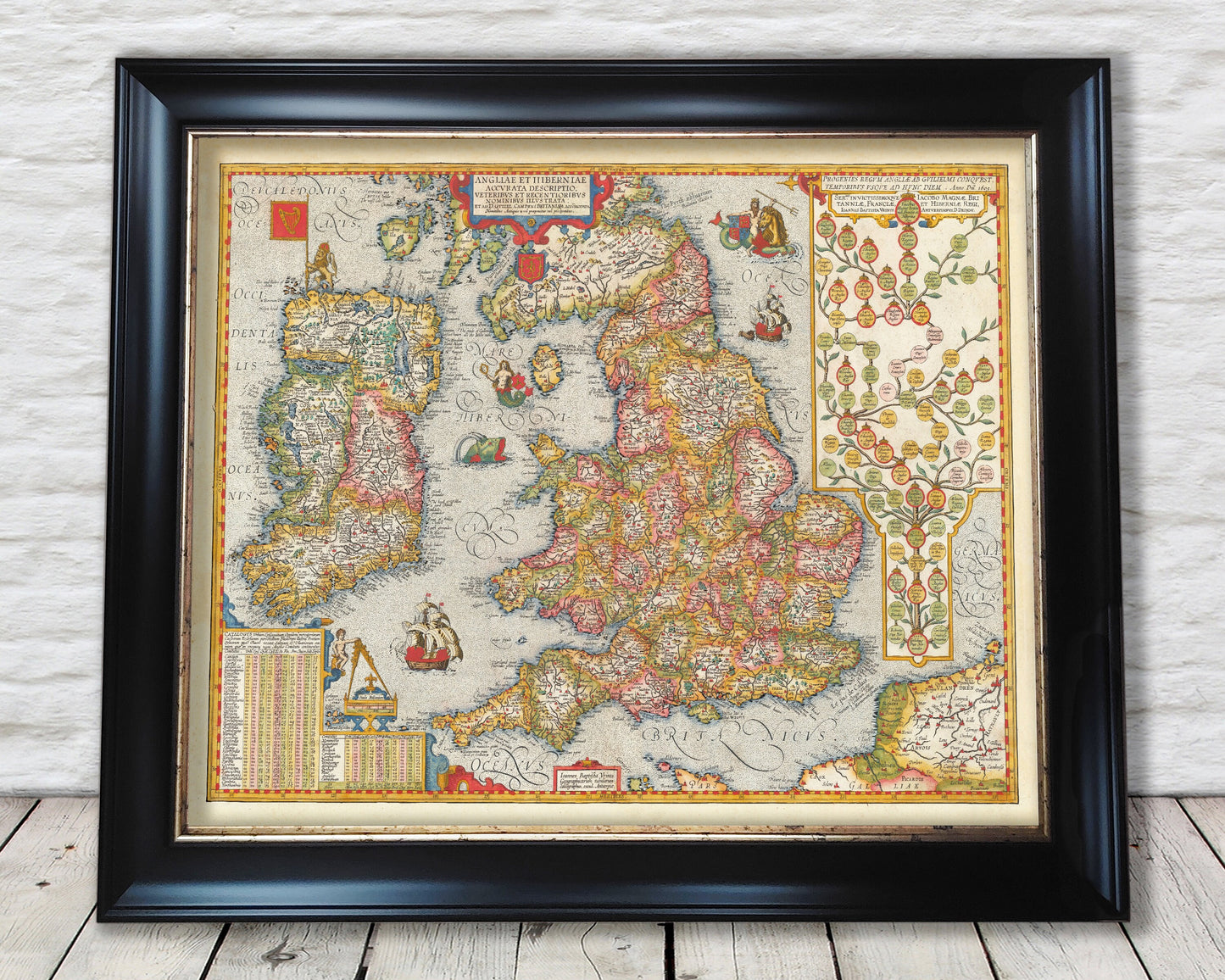
This is a highly sought-after work and is sure to form an interesting conversation piece to any living room. This piece looks stunning mounted as shown in our 20" x 16" framed edition.