Classic Maps and Prints
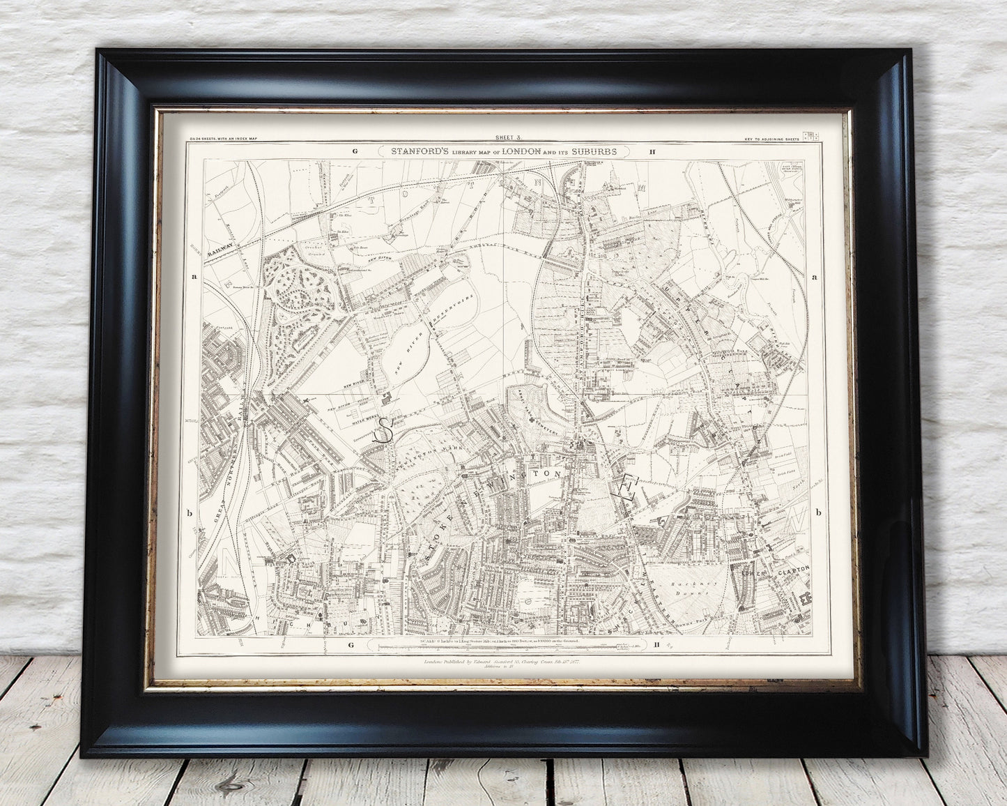
Old LONDON map 1877 Highbury, Finsbury Park, Stoke Newington Sheet 3
Old LONDON map 1877 Highbury, Finsbury Park, Stoke Newington Sheet 3
Couldn't load pickup availability
Stanford's is a longstanding name synonymous with detail and quality in the map world. The company was established by Edward Stanford in 1853 and situated at Charing Cross, London. Their most important work began in 1862 and whose aim was to produce the most accurate map of London possible. They duly achieved their goal aided by the skills of Chief Cartographer John Bolton. The Royal Geographical Society lauded their praise of Stanford's maps stating they were “the most perfect map of London that has ever been issued.”
This map is from the updated 1877 edition based on the original 1862 "Library Map of London and Its Suburbs" Series
Sheet 3 features:
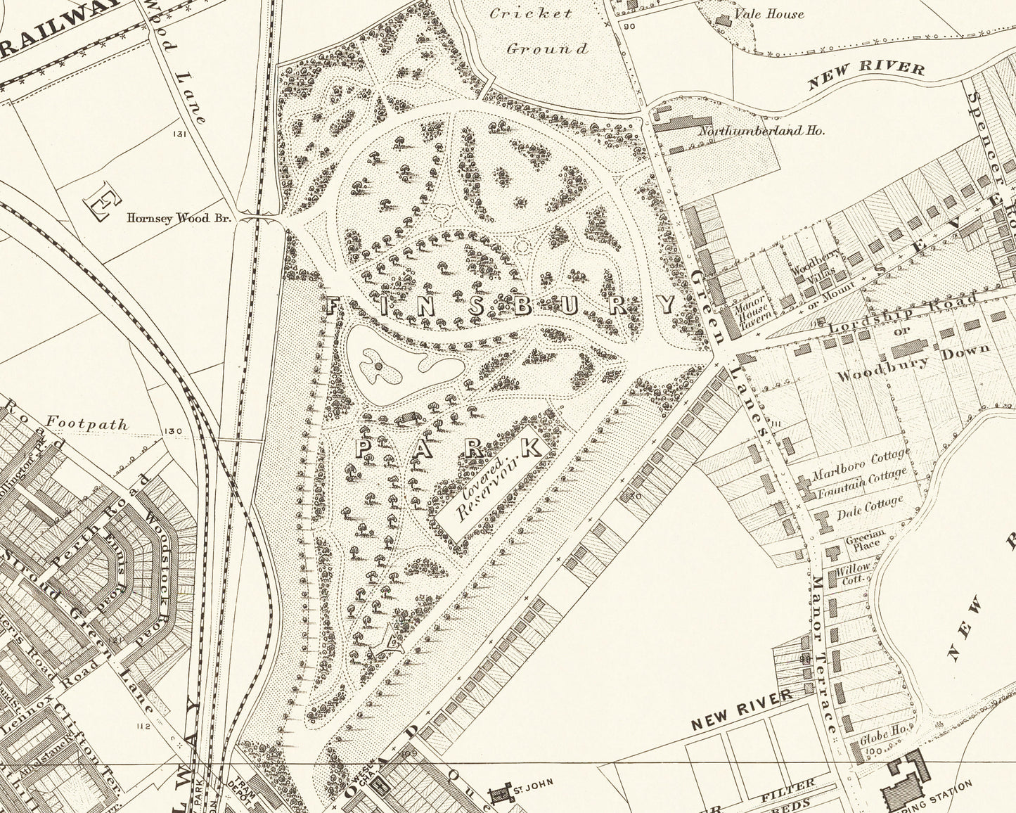
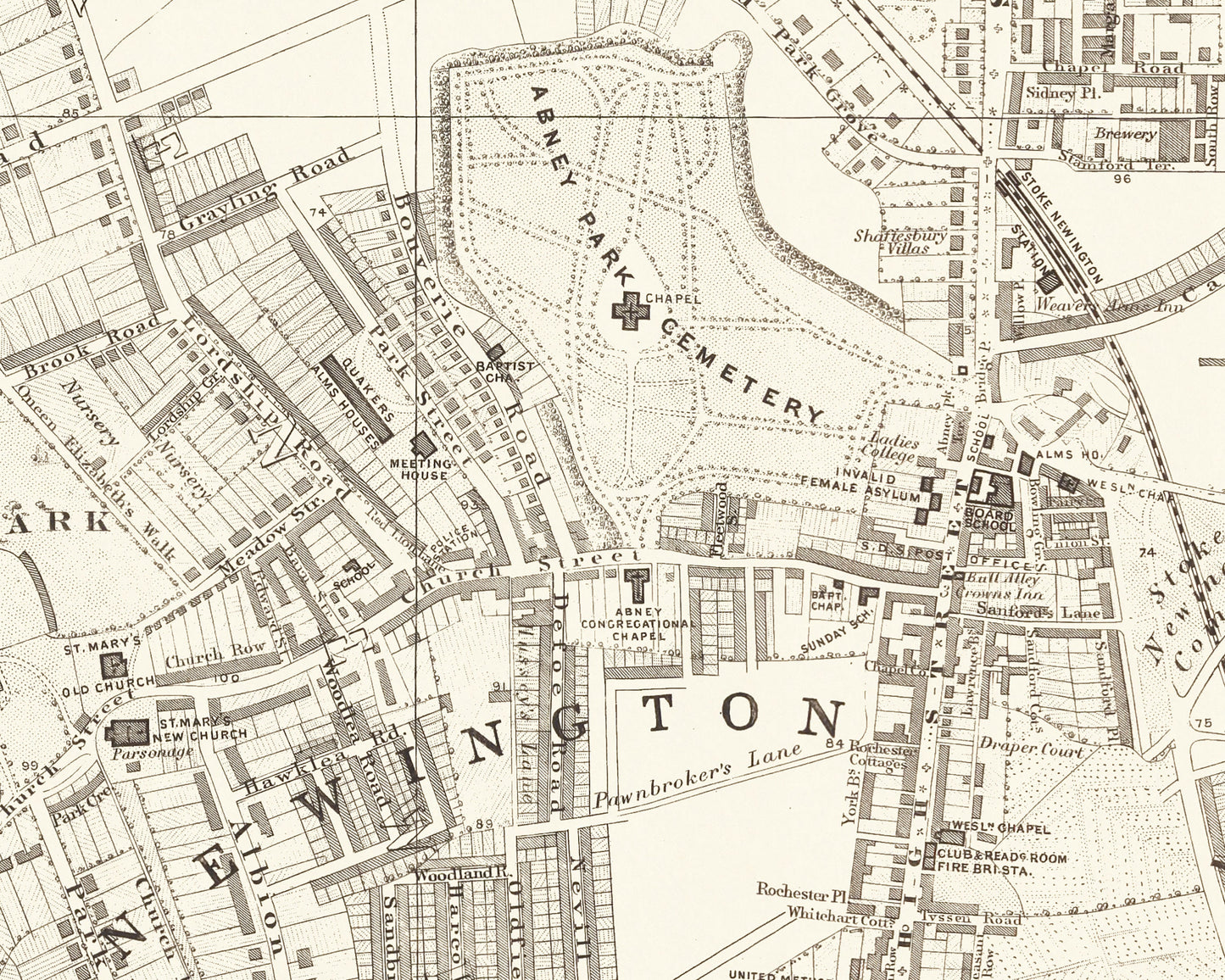
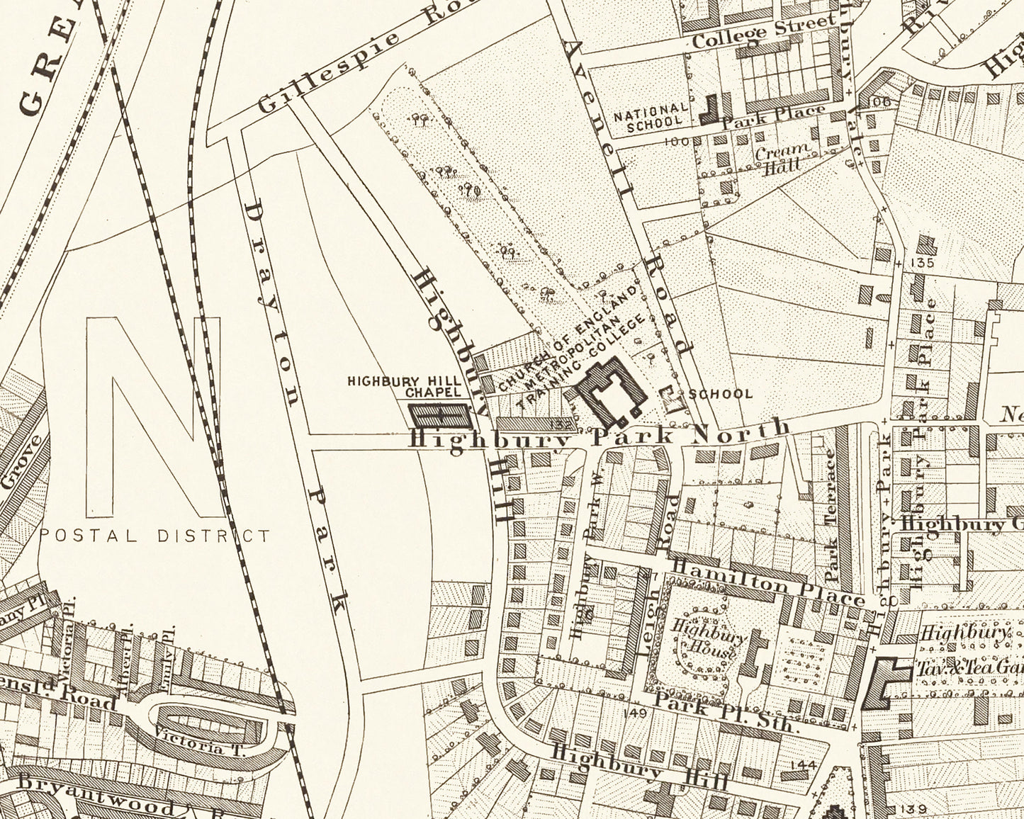
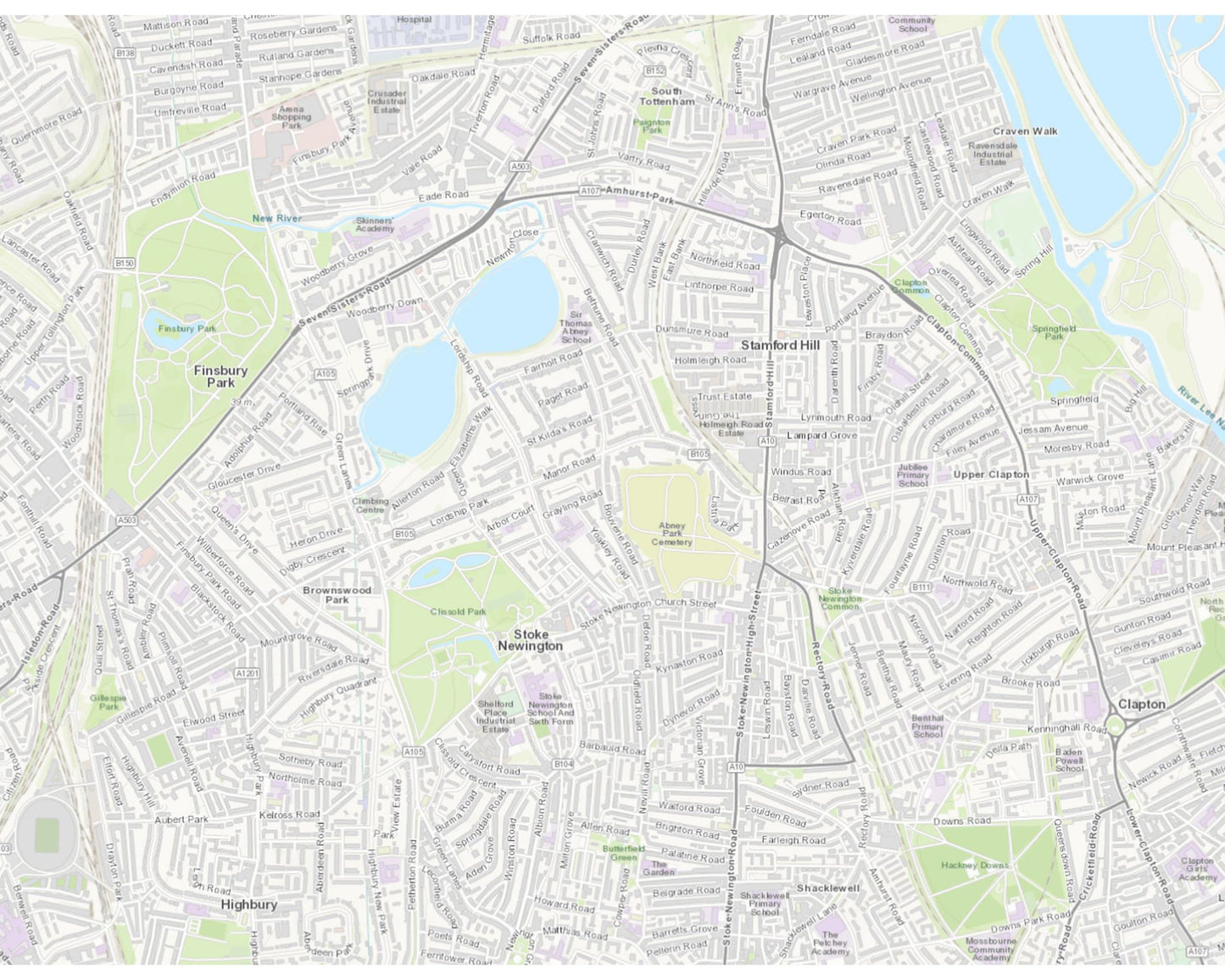
• A highly accurate and stylish rendition of Finsbury Park, Highbury, Stoke Newington and Stamford Hill districts - see image 2 above for modern day equivalent area covered
• Beautifully depicted in a 1:10,560 scale
• Finsbury Park
• Church of England Metropolitan Training College
• Abney Park Cemetery
• West Hackney Church
This piece has been digitally cleaned in order to remove blemishes and most signs of ageing but keeps the look, feel and integrity of the original.
A classic work that creates a centrepiece for any home and would look stunning framed. This print is produced on premium heavyweight 230 gsm paper and uses the finest quality inks that will not fade or smudge.
This is a highly sought-after work
Share