

Classic Maps and Prints
Old LINCOLNSHIRE Map 1611 John Speed Lincoln Grimsby Grantham Boston
Old LINCOLNSHIRE Map 1611 John Speed Lincoln Grimsby Grantham Boston
Couldn't load pickup availability
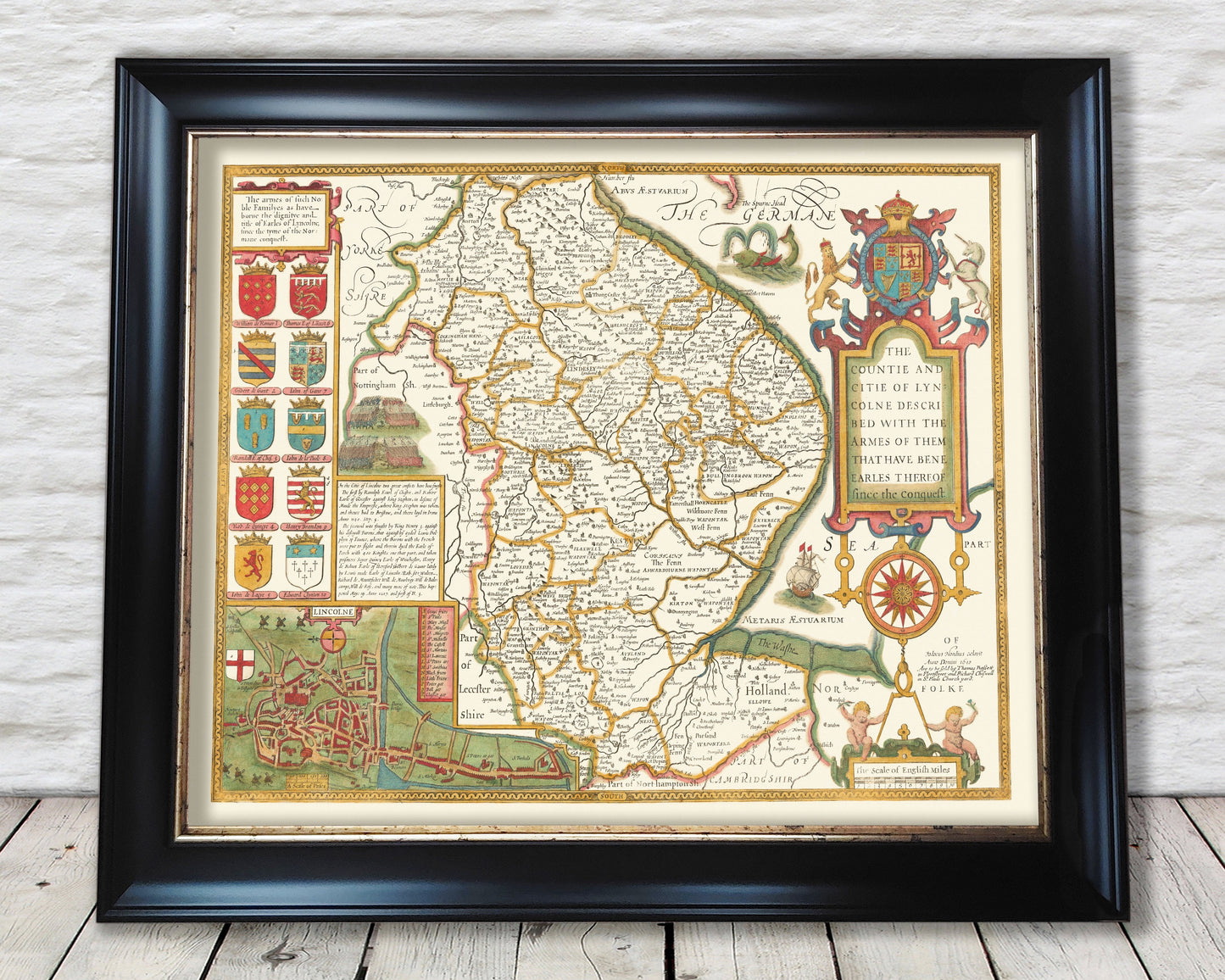
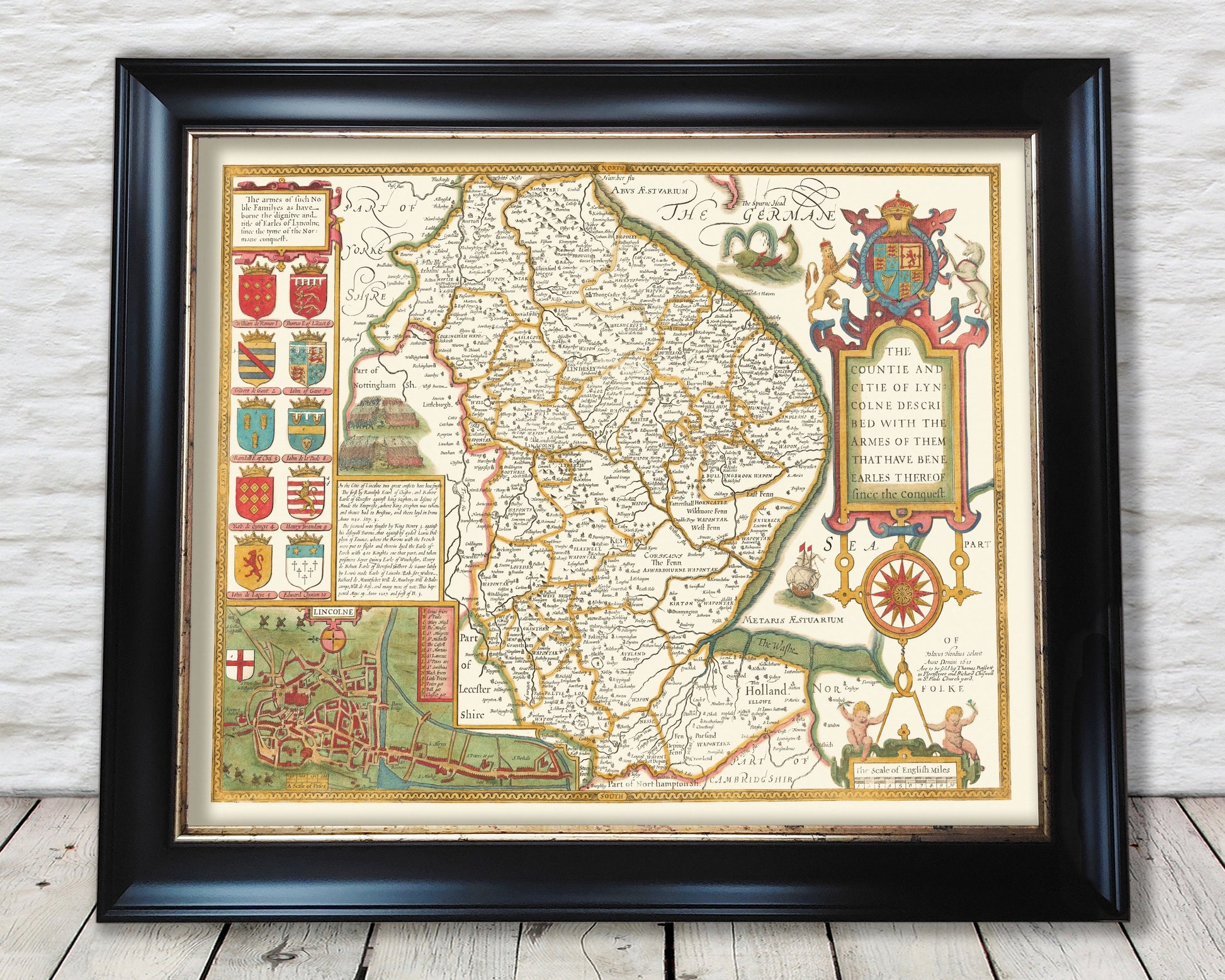
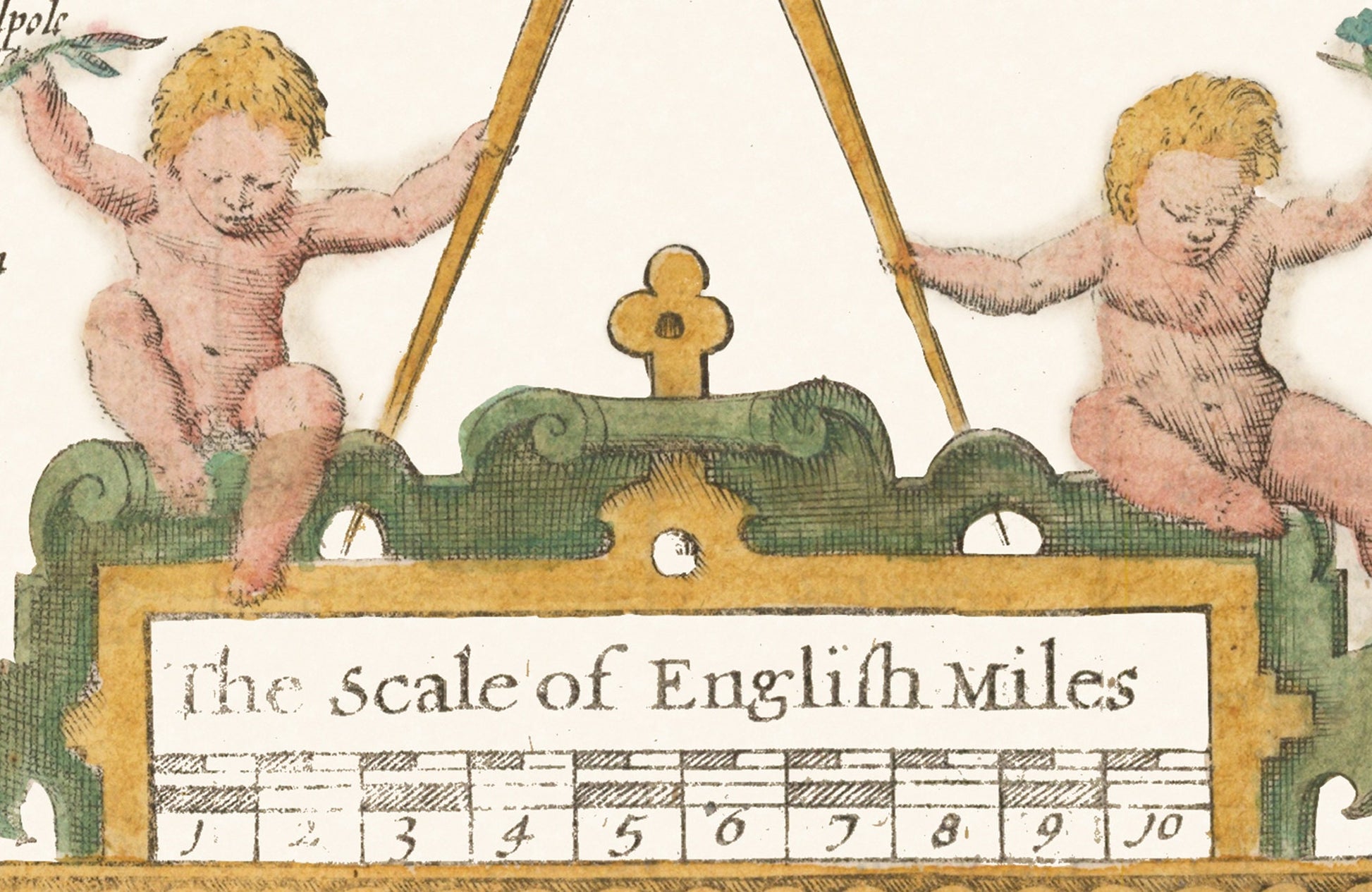
This classic piece was produced by John Speed the best known mapmaker of the Stuart period. It is a wonderful example of a decorative county map that was produced over 400 years since. This is an antique reproduction of the original hand coloured map and therefore each original map is in itself unique. Place name spellings are in Olde Worlde Englyshe and it is interesting note these differences.
This map features:
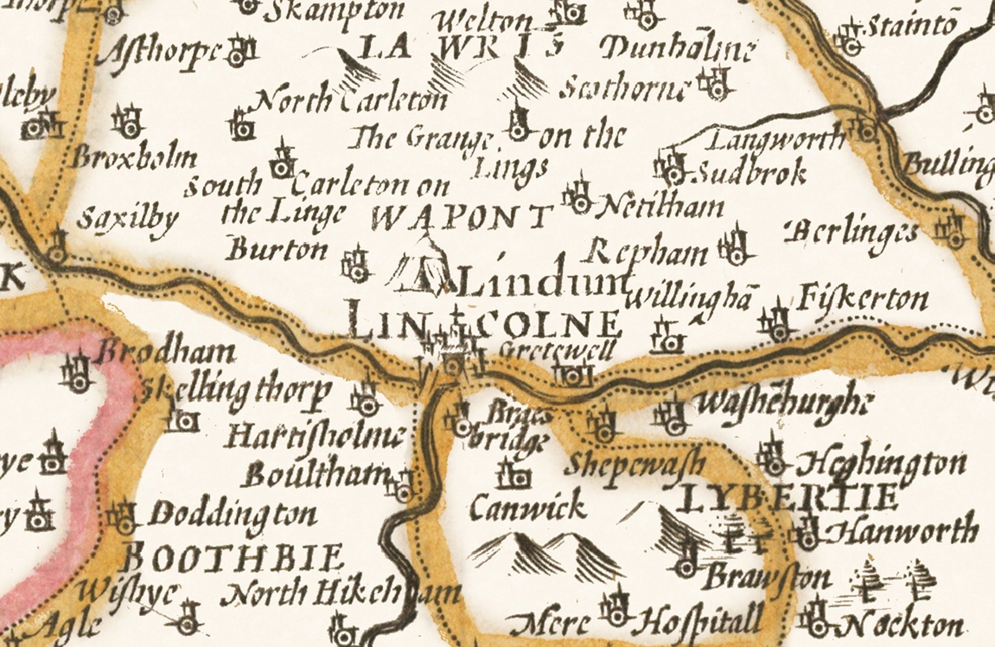
• A detailed geography of the hills, rivers and forests within Lincolnshire in the early 17th century
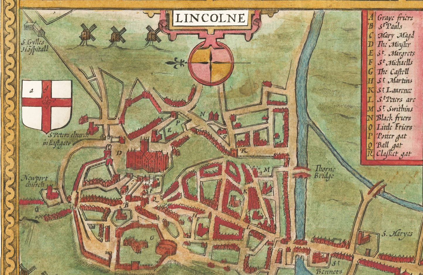
• A plan of the city of Lincoln including a key detailing the many churches and gates (see above)
• Coats of Arms of the Earles of Lyncolne
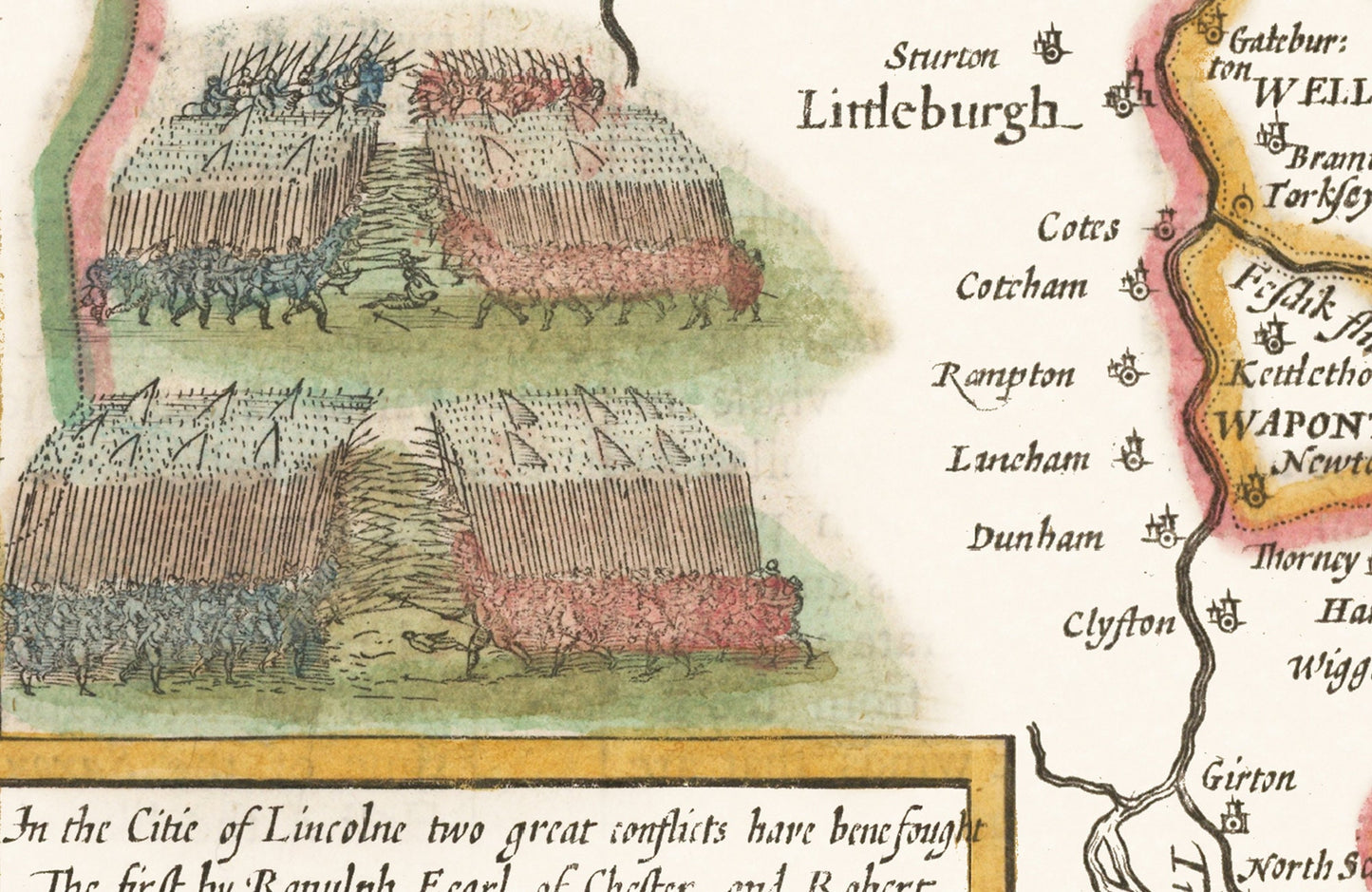
• Illustration of Pike and Cavalry battles in Lincoln from 1140 and 1217
• All offset with a decorative border
This map has been digitally cleaned to remove most of the marks and signs of ageing though it is faded in a few small places but is a strong print overall as represented by the images.
A classic work that creates a centrepiece for any home and would look stunning framed (as in the illustration above). This print is produced on premium heavyweight 230 gsm paper and uses the finest quality inks that will not fade or smudge.
This is a highly sought-after work.
Share