
Classic Maps and Prints
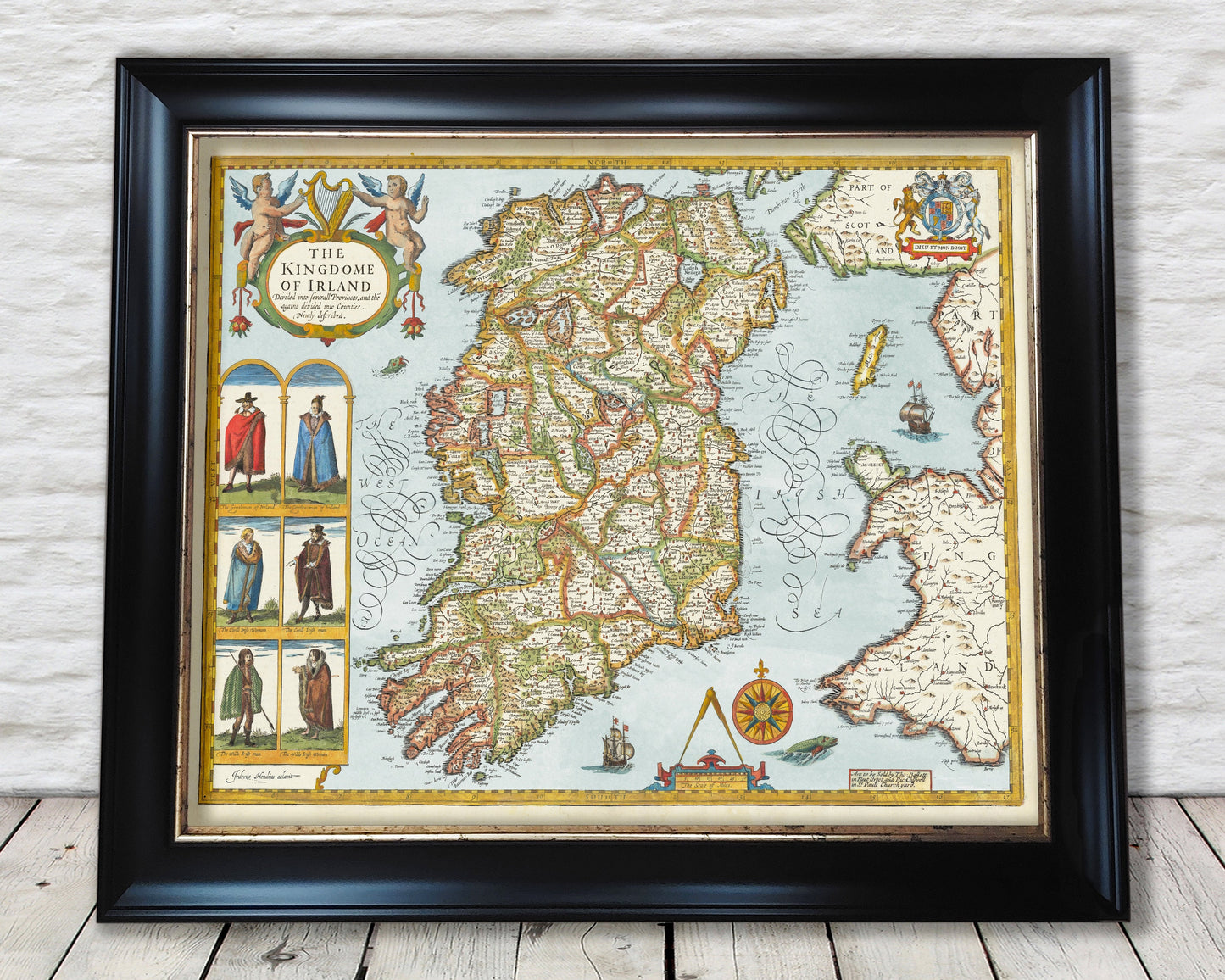
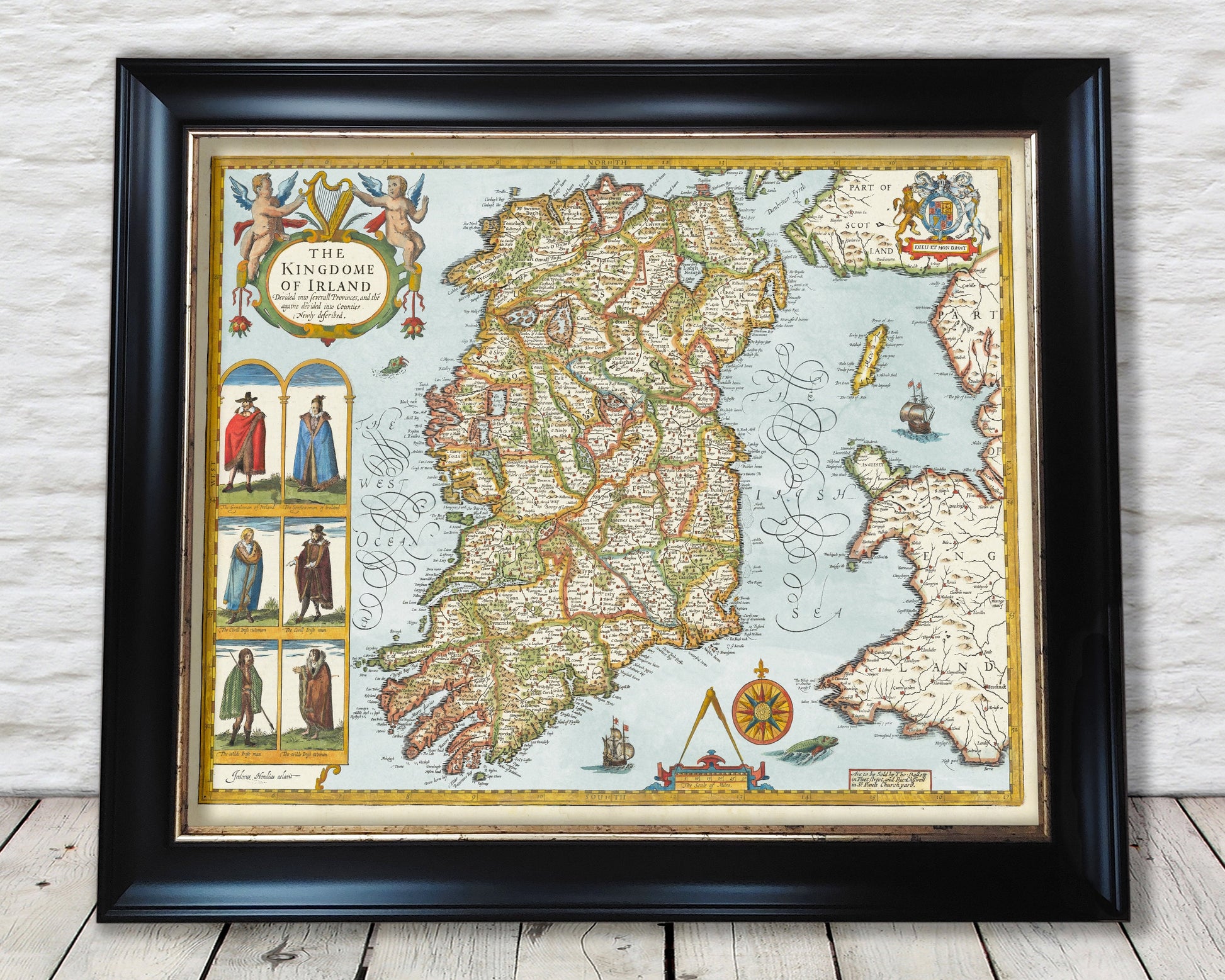
Old IRELAND map John Speed 1611 Ulster, Leinster, Munster, Connacht
Old IRELAND map John Speed 1611 Ulster, Leinster, Munster, Connacht
Couldn't load pickup availability
This classic piece was produced by John Speed the best known mapmaker of the Stuart period. It is a wonderful example of a decorative county map that was produced over 400 years since. This is an antique reproduction of the original hand coloured map and therefore each original map is in itself unique. It is thought unlikely that Speed visited Ireland to complete this map but instead basing his map on the Ireland of Island on an earlier work by the Flemish Cartographer Geradus Mercator.
This beautiful map covers all four provinces of Ireland being Ulster, Leinster, Munster and Connacht.
This is a highly sought after work and is sure to form an interesting conversation piece to any living room. This piece looks stunning mounted.
Features:
-------------
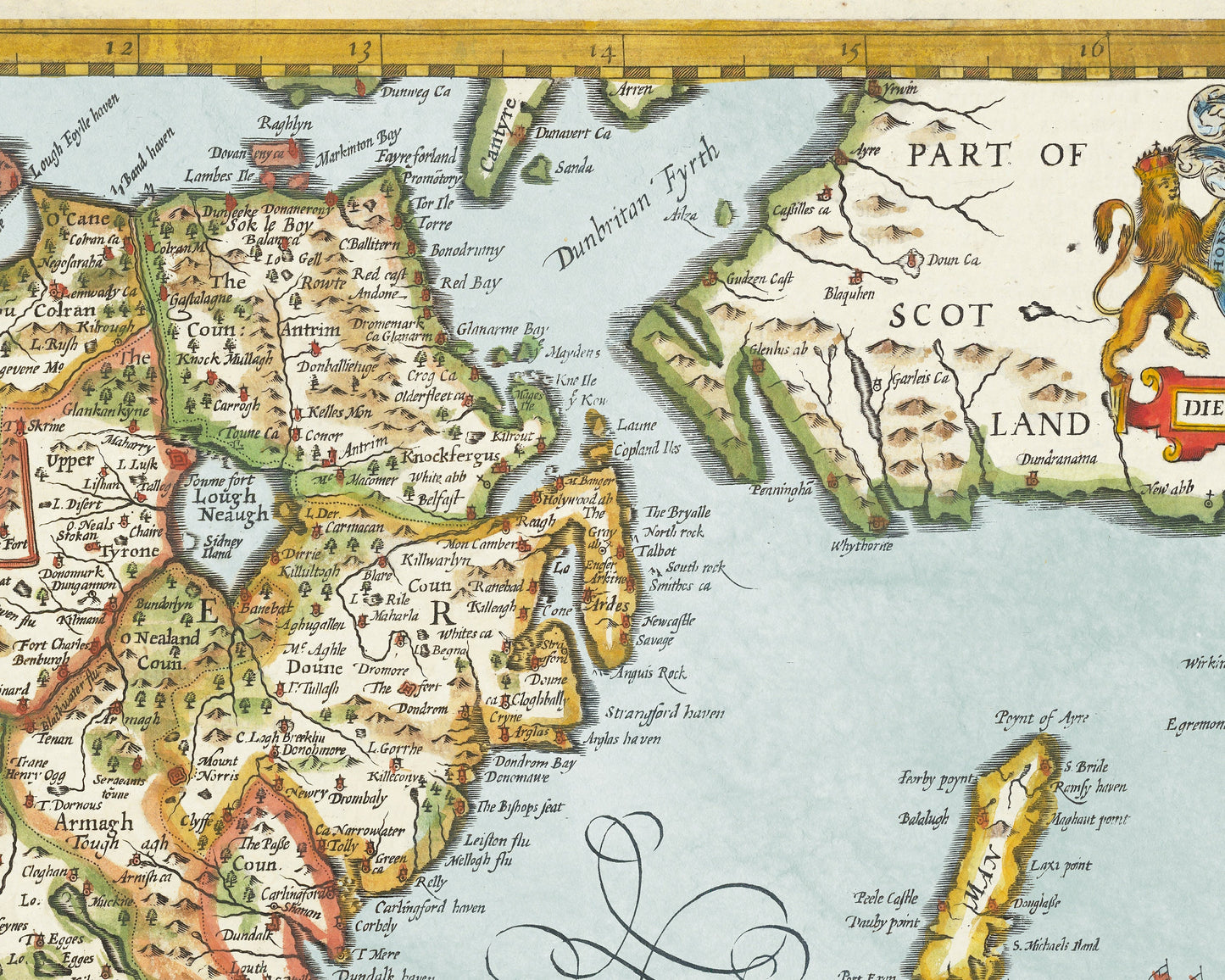
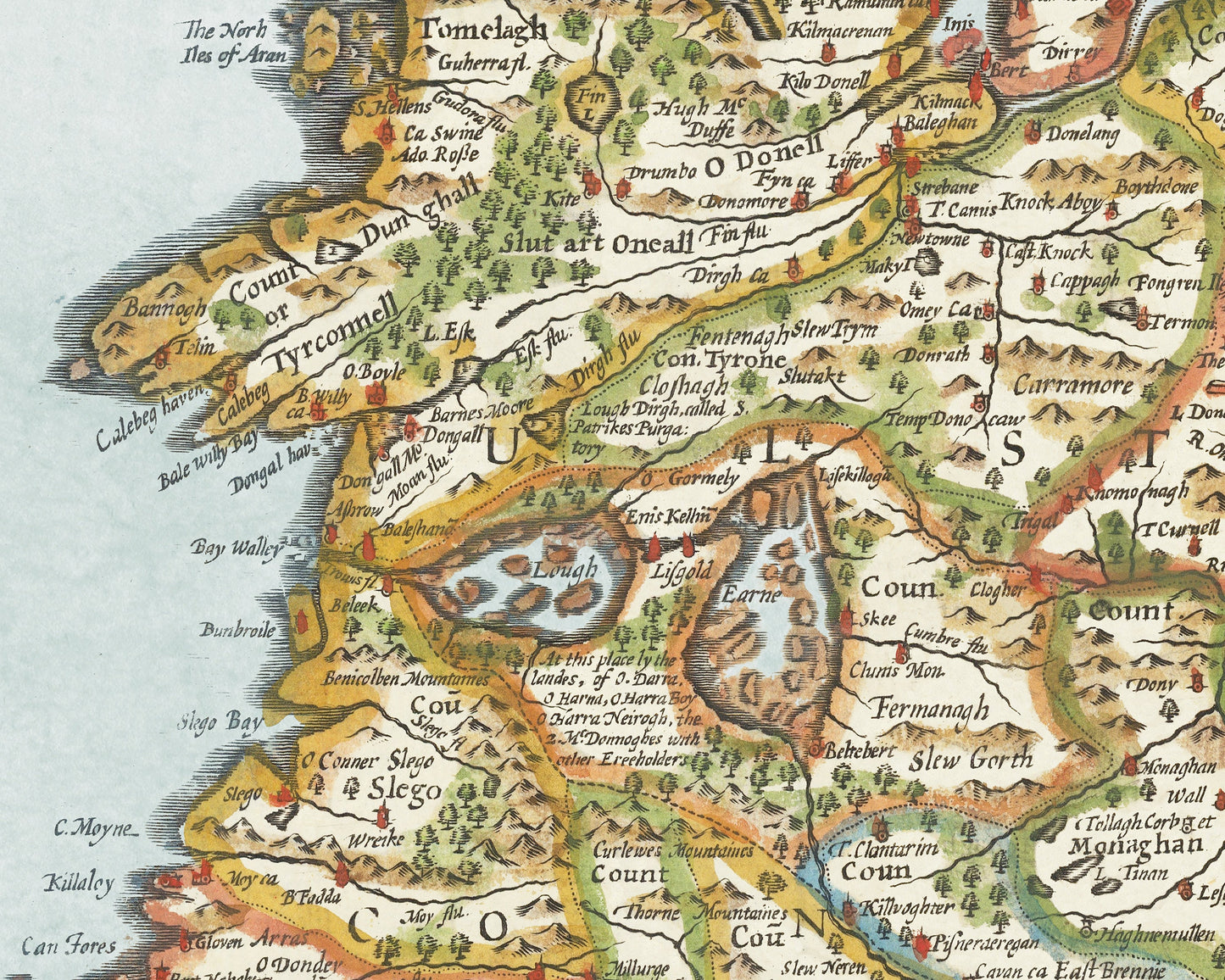
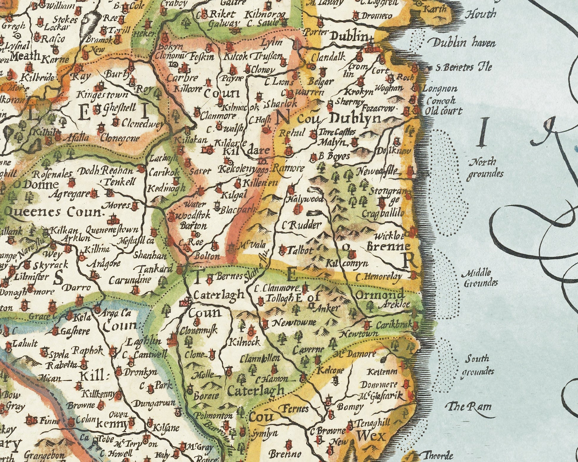
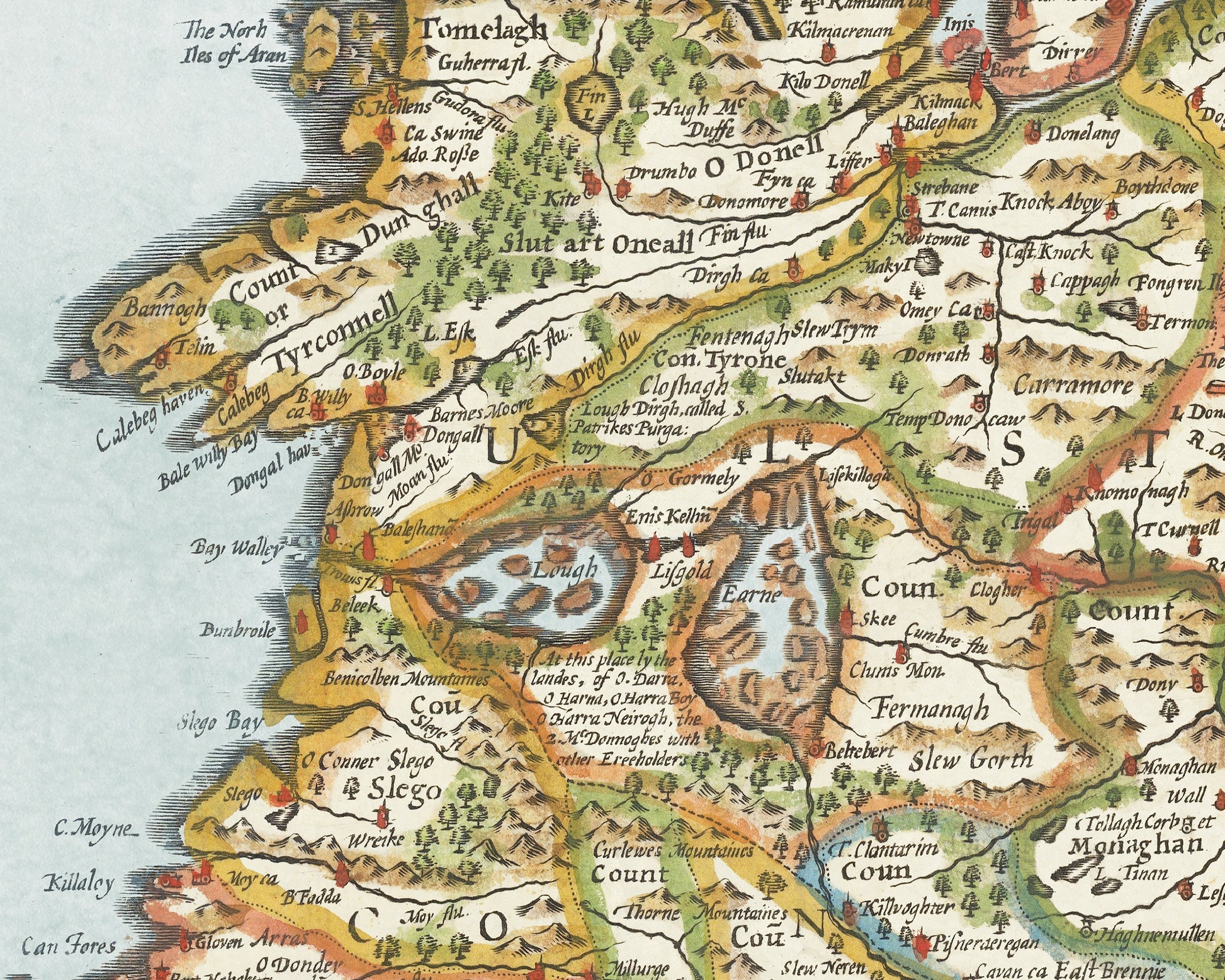
• A detailed geography of the hills, rivers and forests of Ireland from the early 17th century
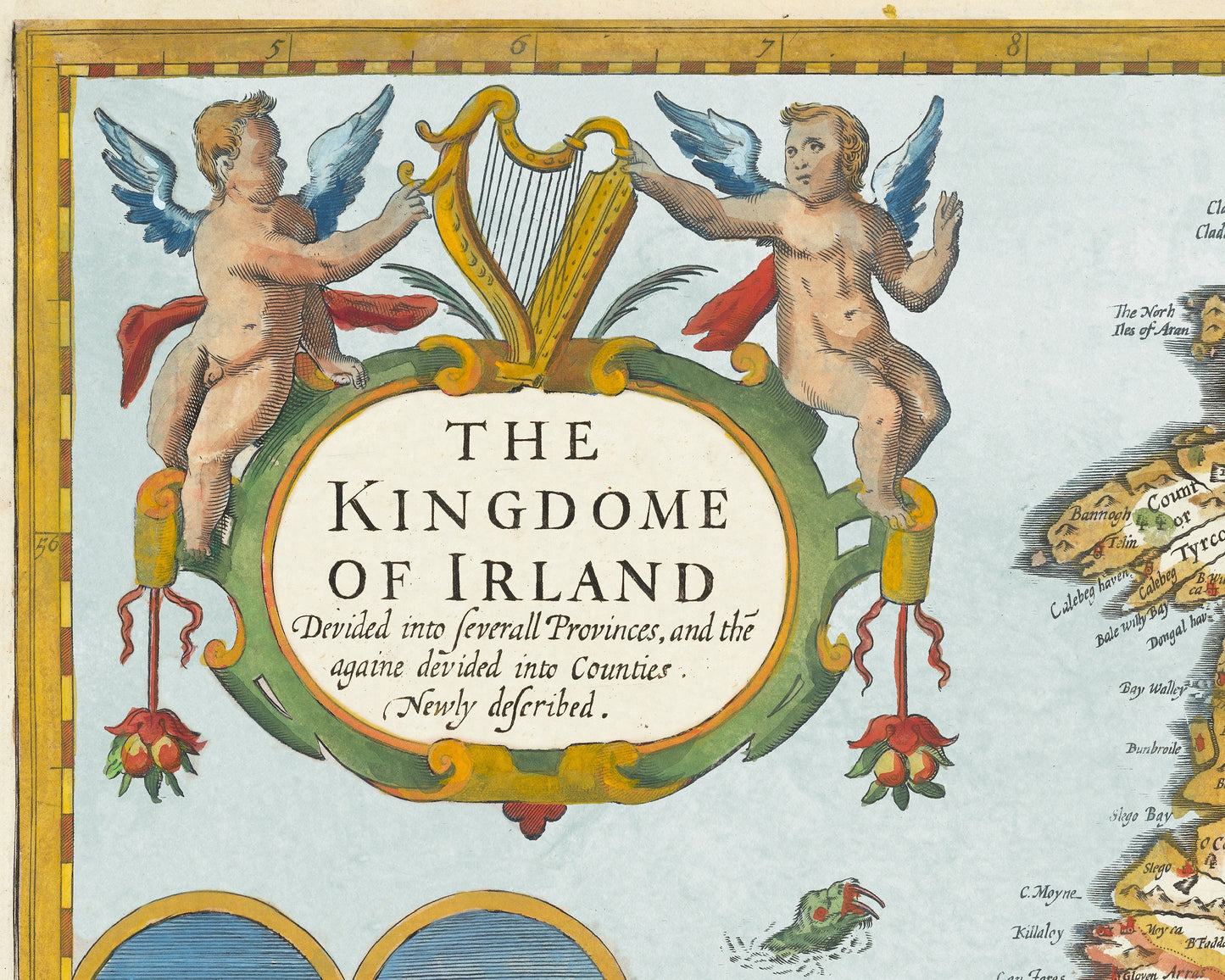
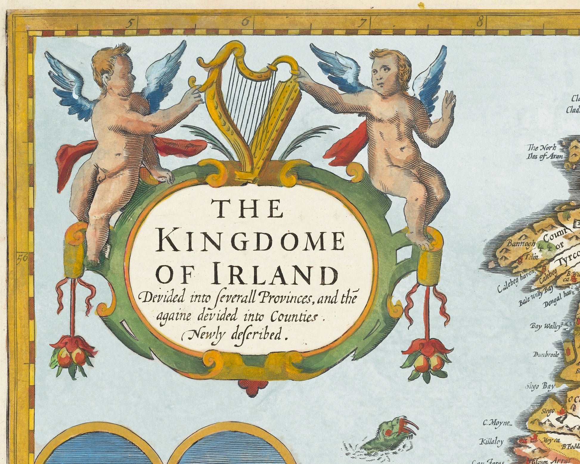
• A beautiful 'Kingdome of Irland' title
• Embellishment showing three pairs of men and women bedecked in genteel, town dwelling and country folk dress
• Sea creatures, contemporary ships and compass illustrations
• All offset with a beautiful stylistic border
Share