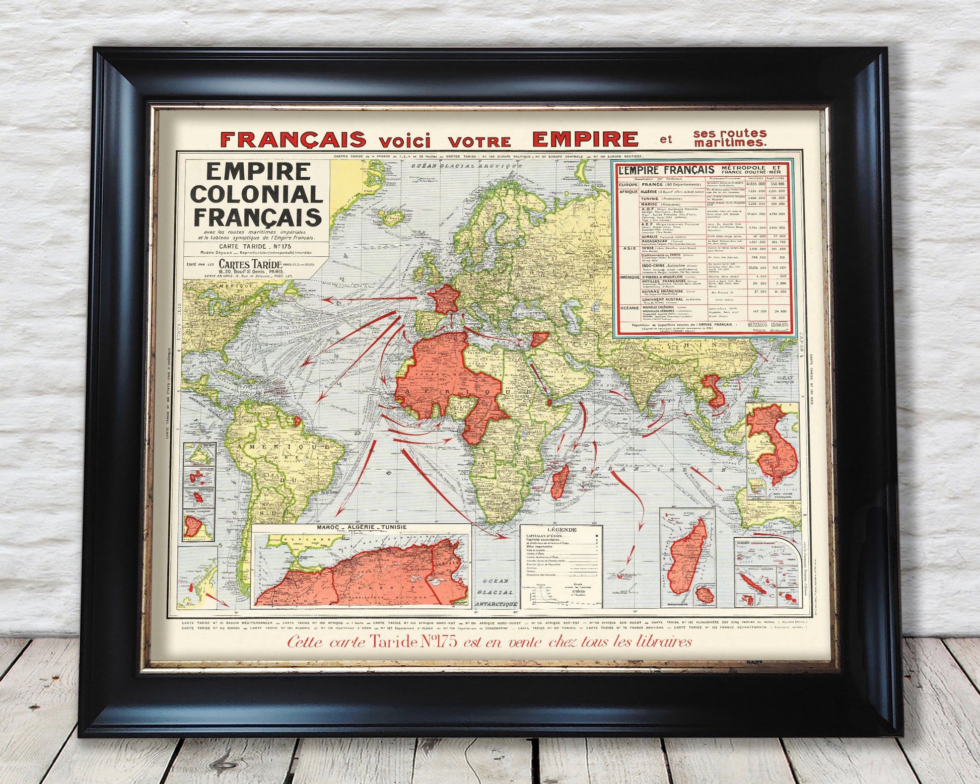
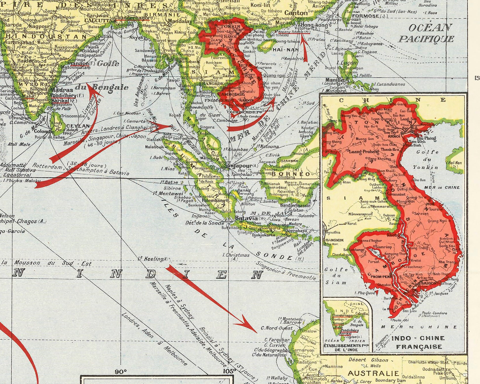
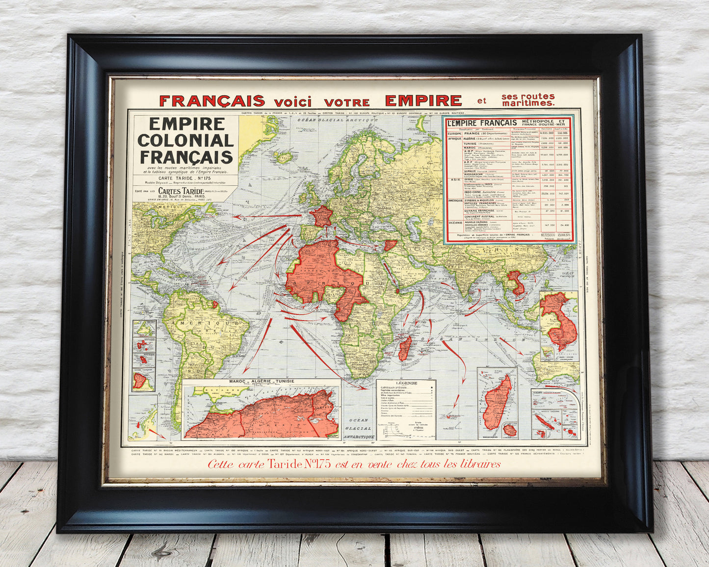
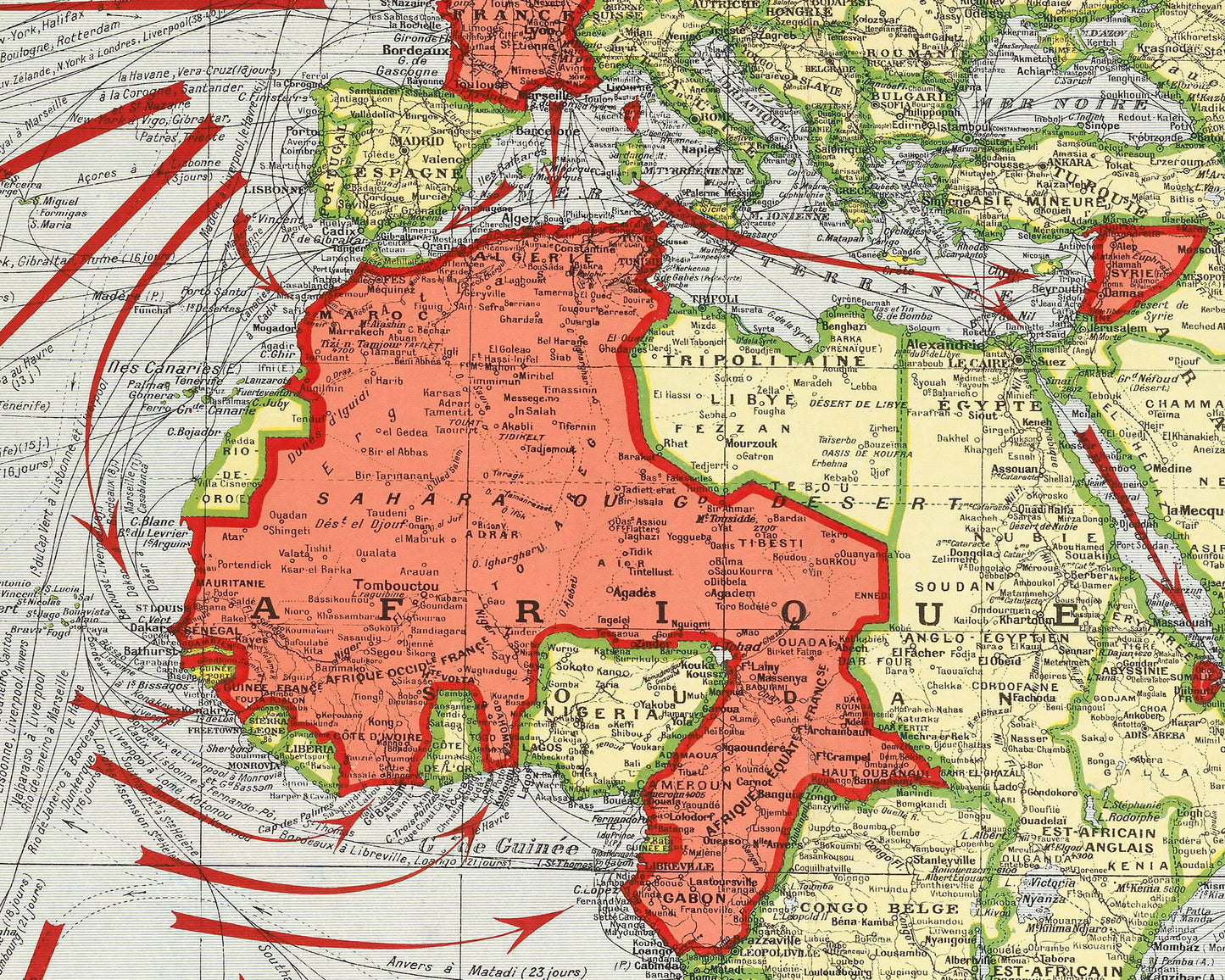
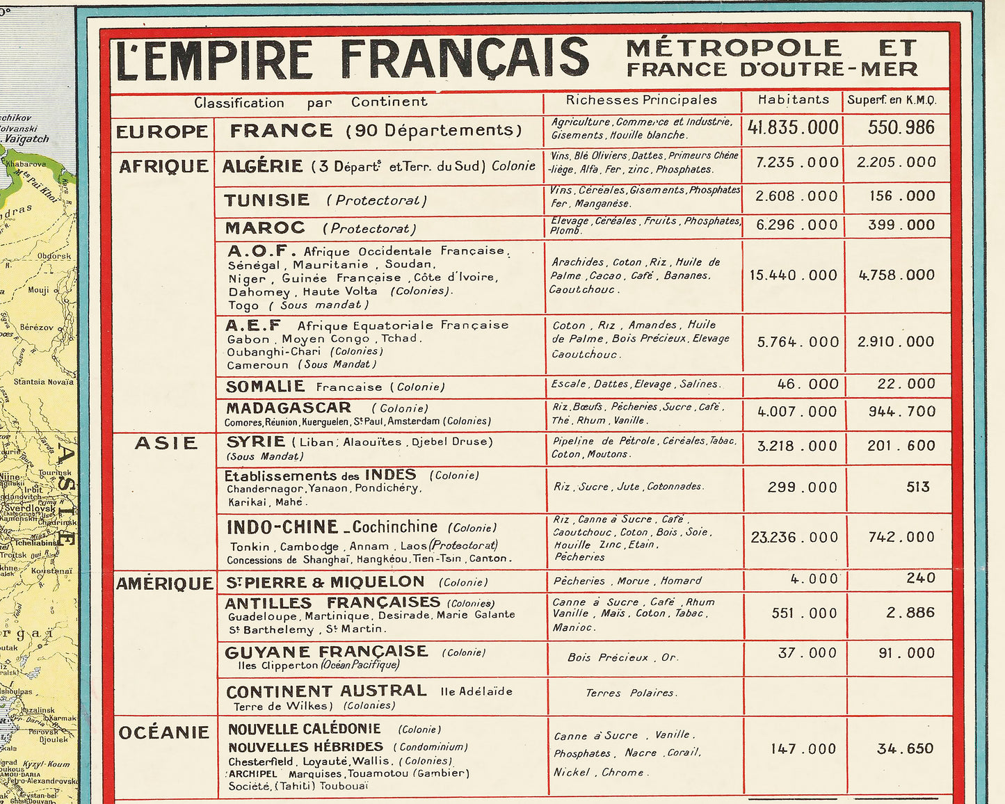
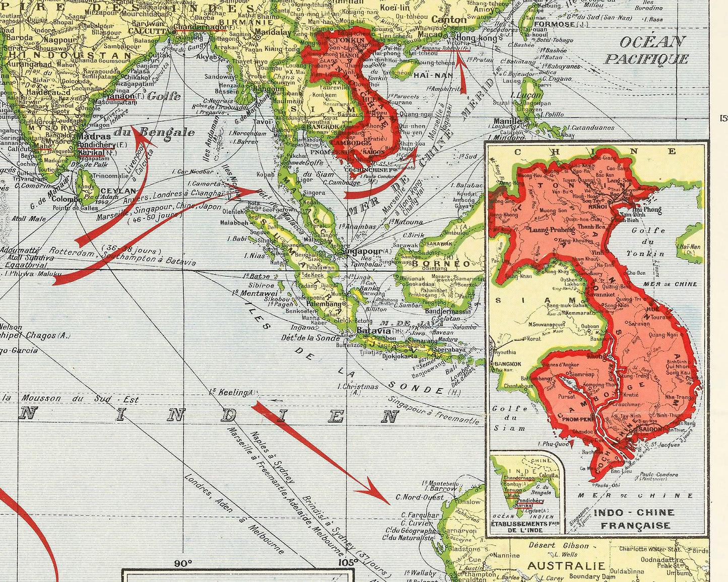
This map focusses on the second colonial empire of France a period that can be said to have started from 1830 when Algeria came under French rule. At its height the French was the second largest in the world, only bettered by the British Empire. Colonial France spread far and wide including Morocco, Tunisia, Algeria, French Somaliland, French Equatorial Africa, French Indochina, French Polynesia, French Guiana and Guadalupe and Martinique in the Caribbean.
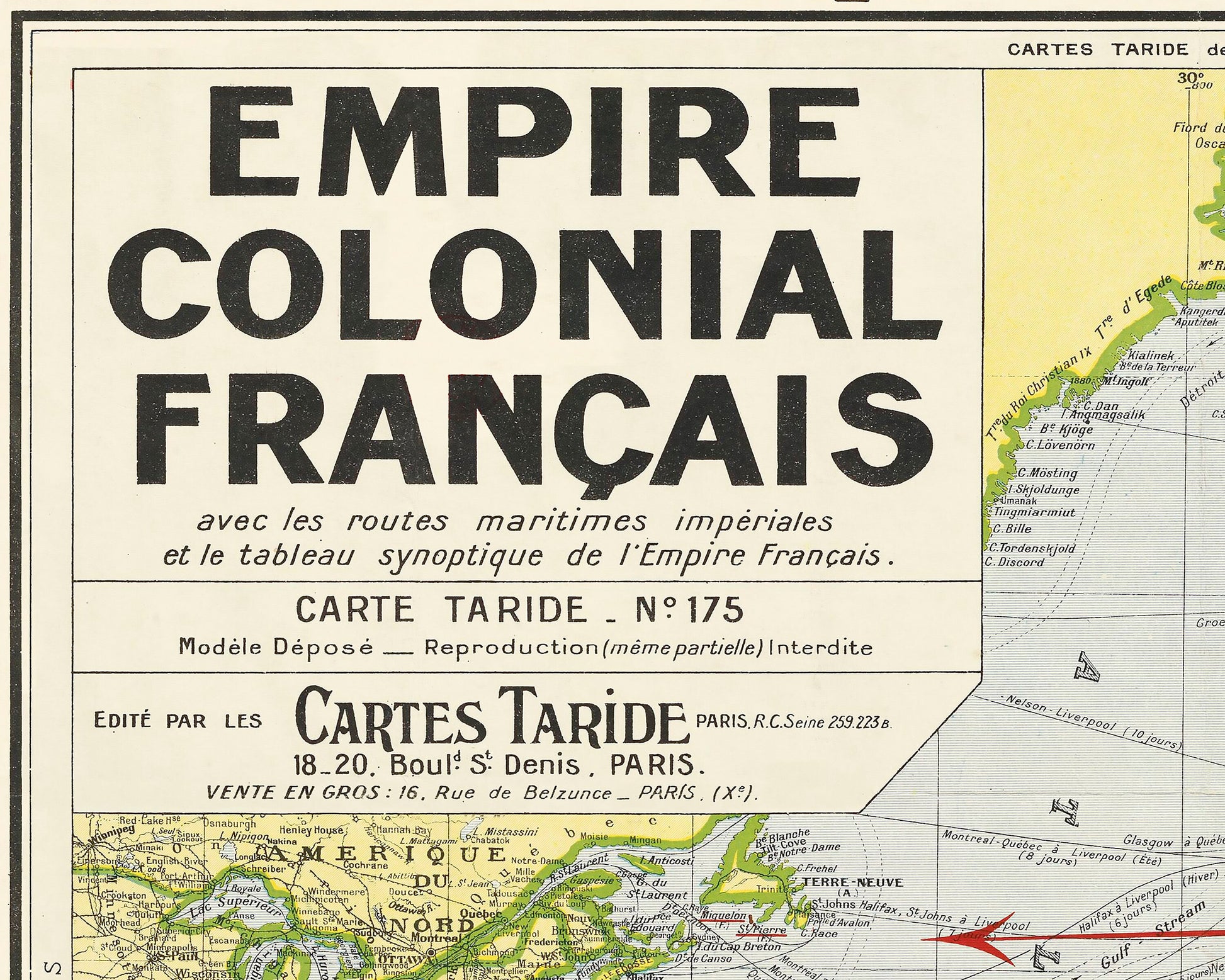
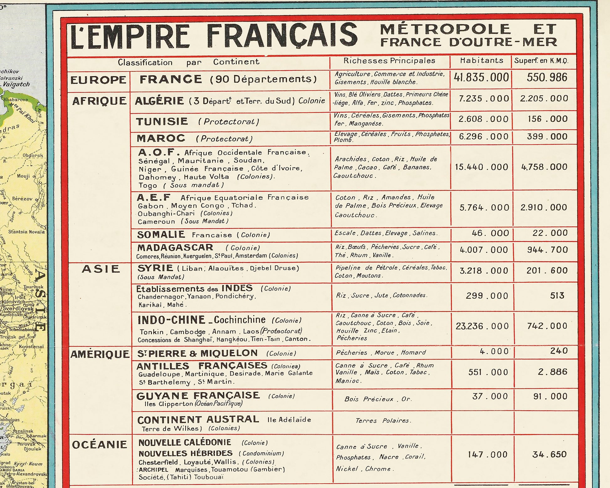
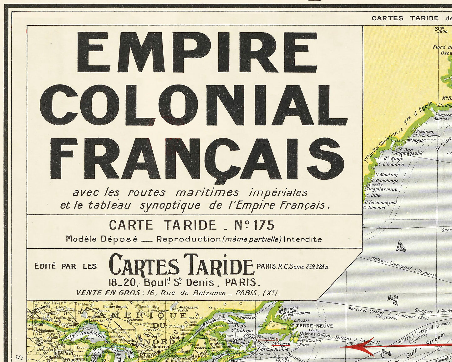
This piece also delineates maritime shipping routes some including journey times. In the top right hand corner there is an interesting table that explores the colonial "possessions" including number of inhabitants, area covered and the types of resources that these territories provided.
This is a highly sought-after work and is sure to form an interesting conversation piece to any living room. This piece looks stunning mounted as shown in our 20" x 16" framed edition.