


Classic Maps and Prints
Old CHAMPAGNE Map 1882, wine map, vinicole and winemaking
Old CHAMPAGNE Map 1882, wine map, vinicole and winemaking
Couldn't load pickup availability
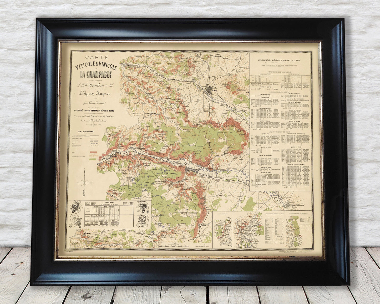
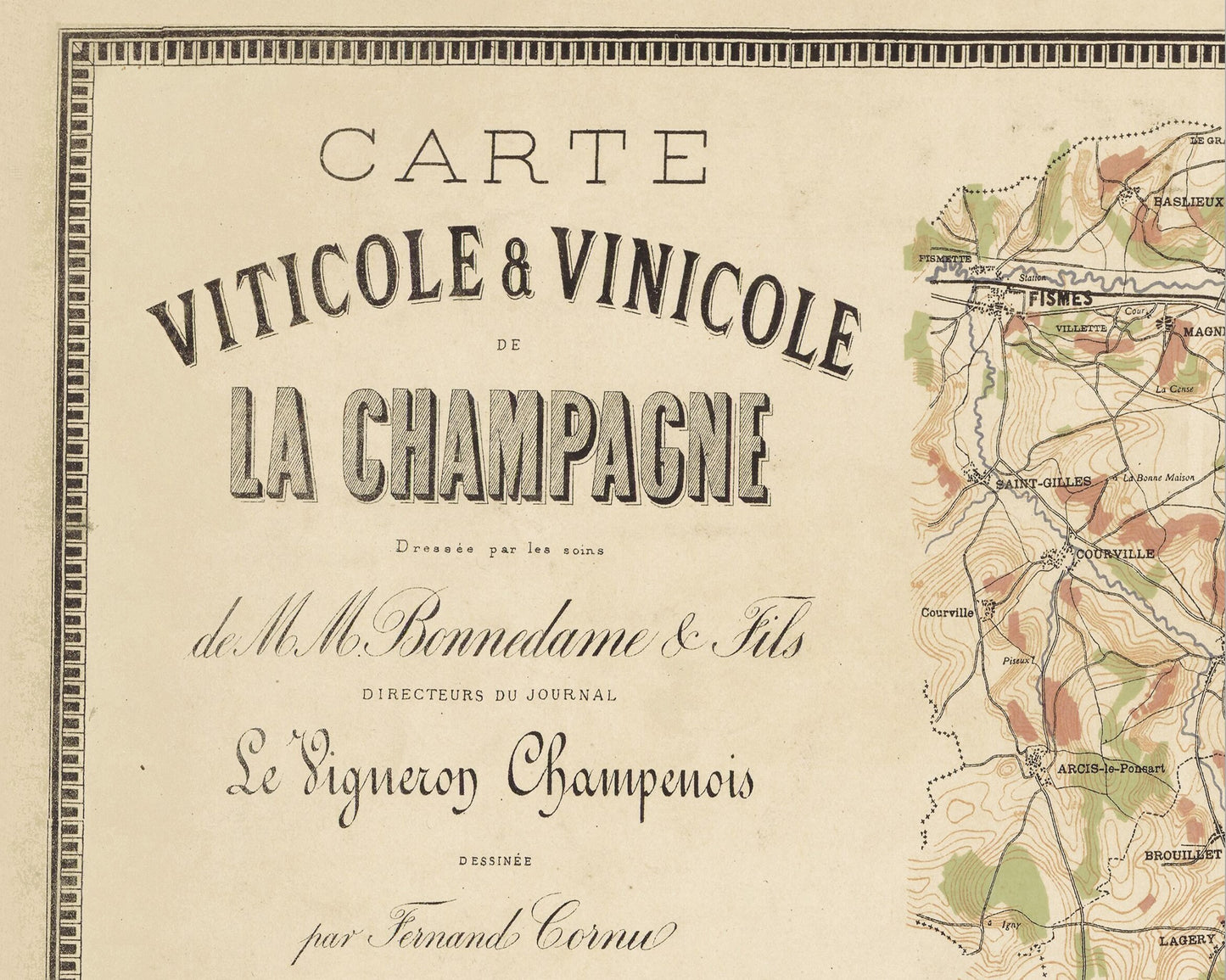
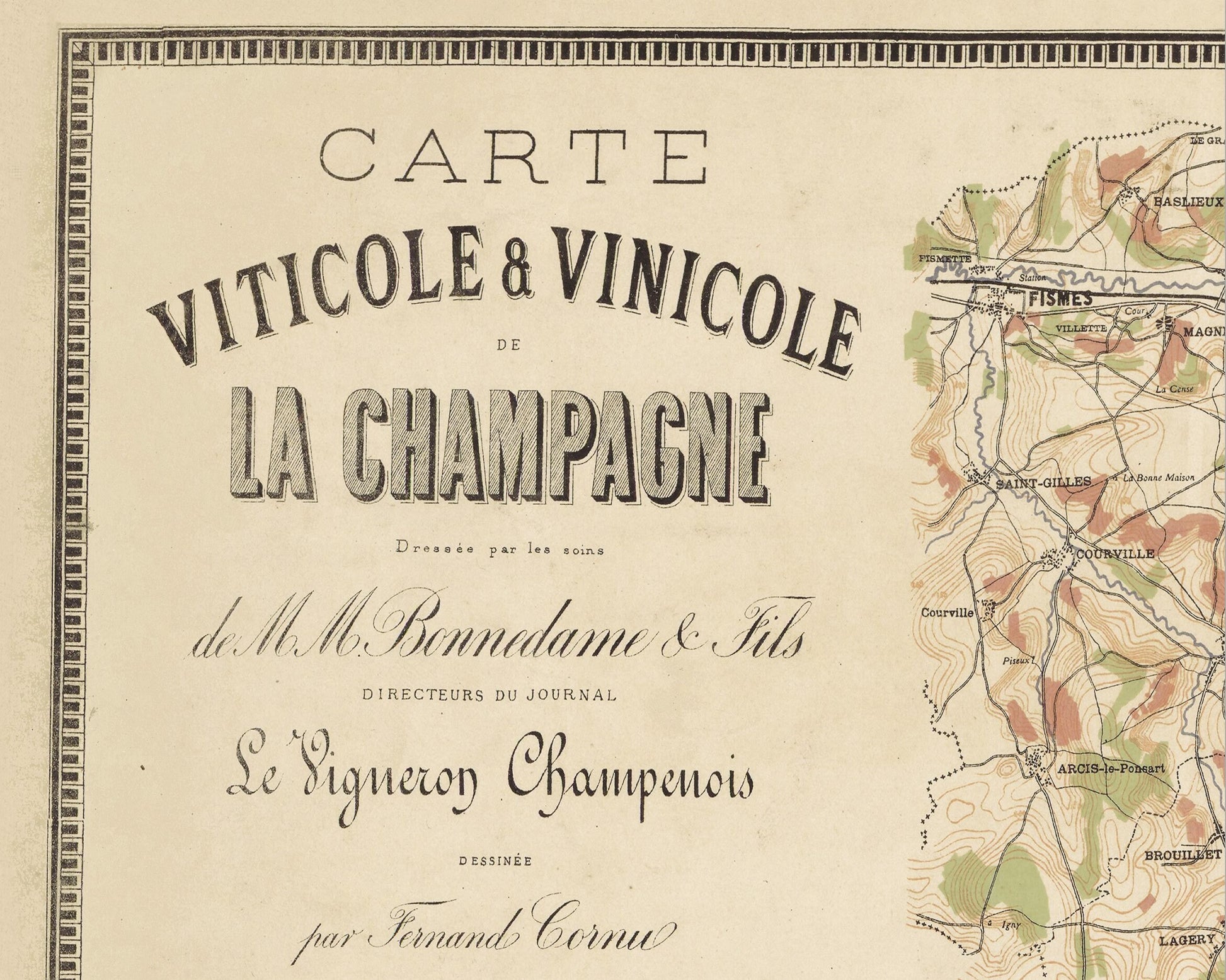
The viticultural and vinicultural map of Champagne from 1882 is a historical map of the Champagne wine region in France. It was crafted by Raphaël-Frédéric Bonnedame, a French agronomist and viticulturist.
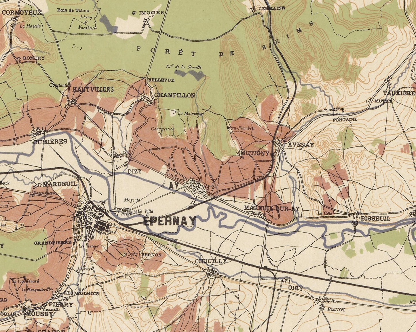
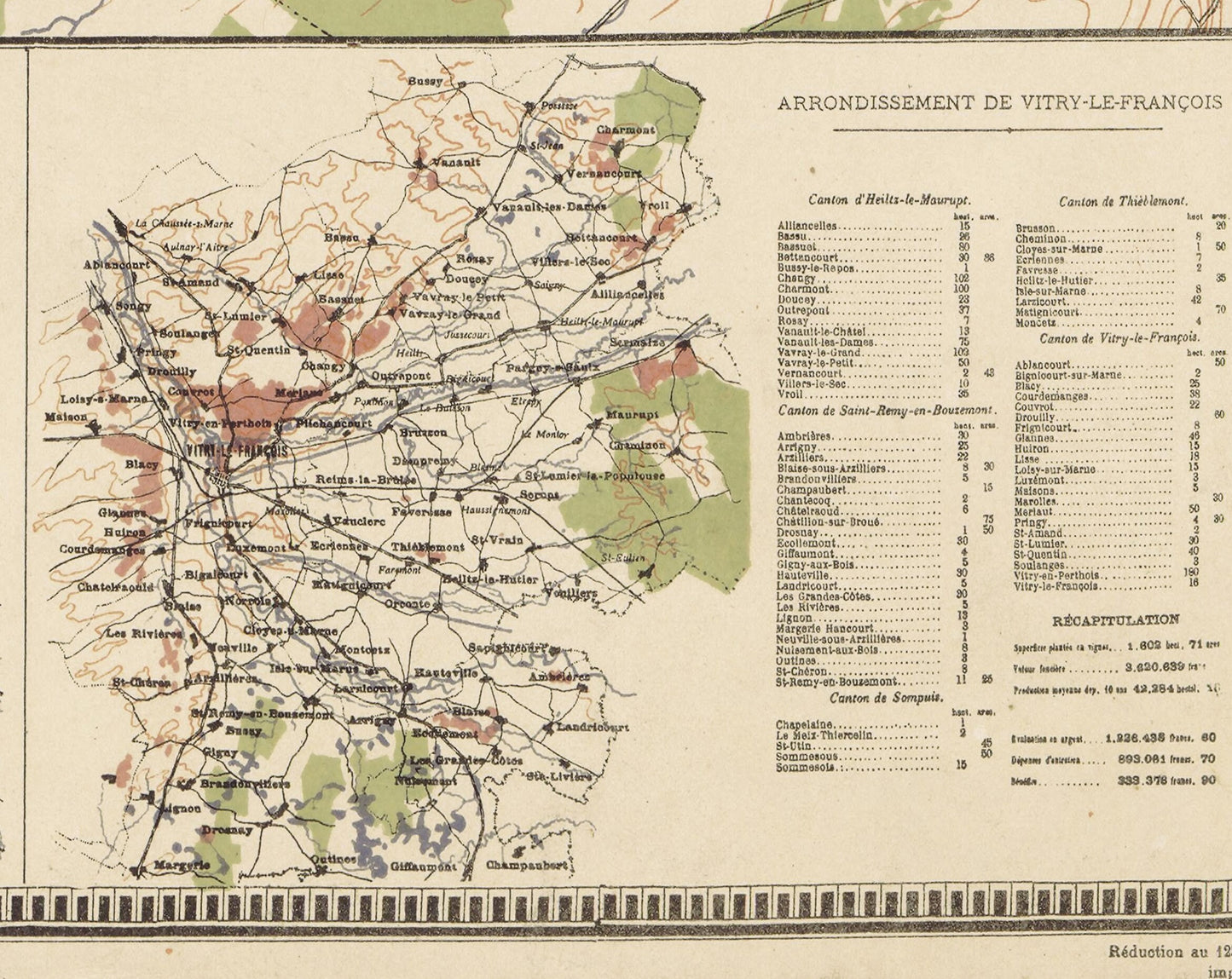
The map is divided into two sections: the first section presents a topographic map of Champagne, featuring major cities and villages, roads, and railways. The second section showcases a map of the Champagne vineyards, detailing the various grape varieties cultivated, yields, and production.
The map serves as a valuable document for studying the history of winemaking in Champagne, providing insights into the region's evolution over the centuries, particularly the expansion of vineyards in the 19th century.
Champagne is divided into four main viticultural zones: Montagne de Reims, Vallée de la Marne, Côte des Blancs, and Côte des Bar. The most commonly grown grape varieties in Champagne include Chardonnay, Pinot Noir, and Meunier.
This is a highly sought-after work and is sure to form an interesting conversation piece to any living room. This piece looks stunning mounted as shown in our 20" x 16" framed edition.
Share