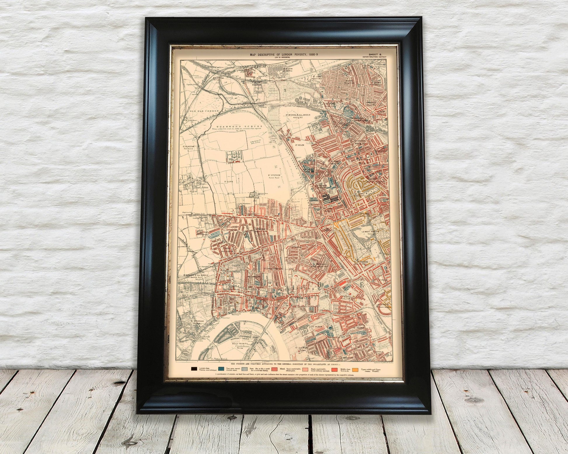
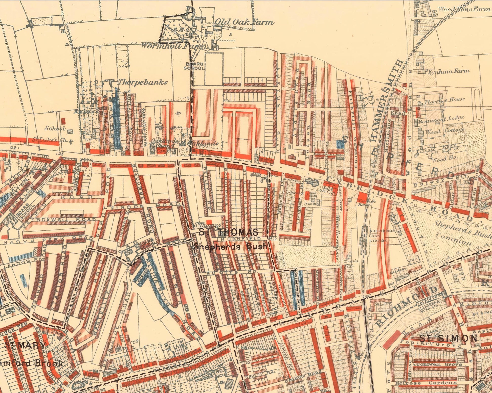
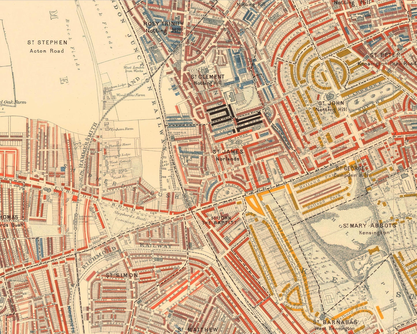
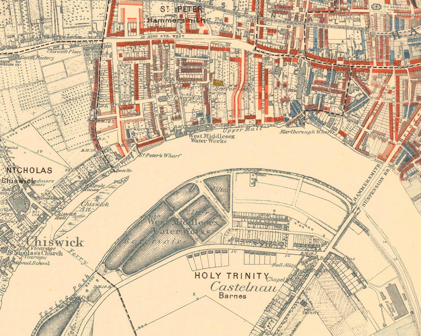
This is an exceptional quality, museum-grade reproduction map which represents an important part of our social history. Social researcher and reformer Charles Booth conducted one of the first surveys to systematically study poverty experienced in the nation's capital. This map - Outer Western district sheet 8 covering Notting Hill, Shepherds Bush, Hammersmith and Chelsea - was one of twelve such maps produced in this comprehensive survey
The detail provided is extensive and shows the conditions in which inhabitants lived in Victorian London. The colour coded key ranges from "Lowest class. Vicious, Semi-criminal", "Very poor, casual. Chronic want" through to "Middle class. Well-to-do" and "Upper-middle and Upper classes. Wealthy"
This work is highly sought-after work and is sure to form an interesting conversation piece to any living room. This piece looks stunning mounted as shown in our A2 framed edition.