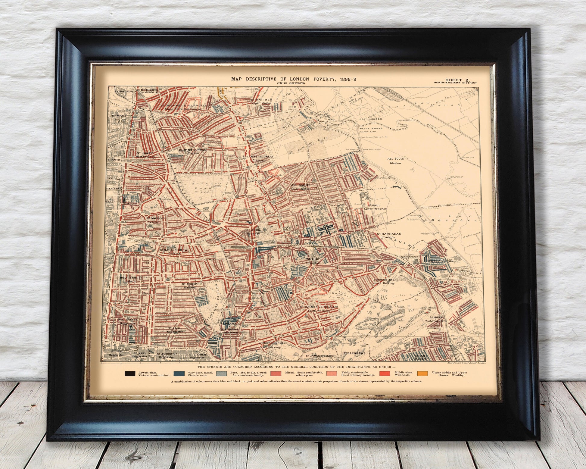
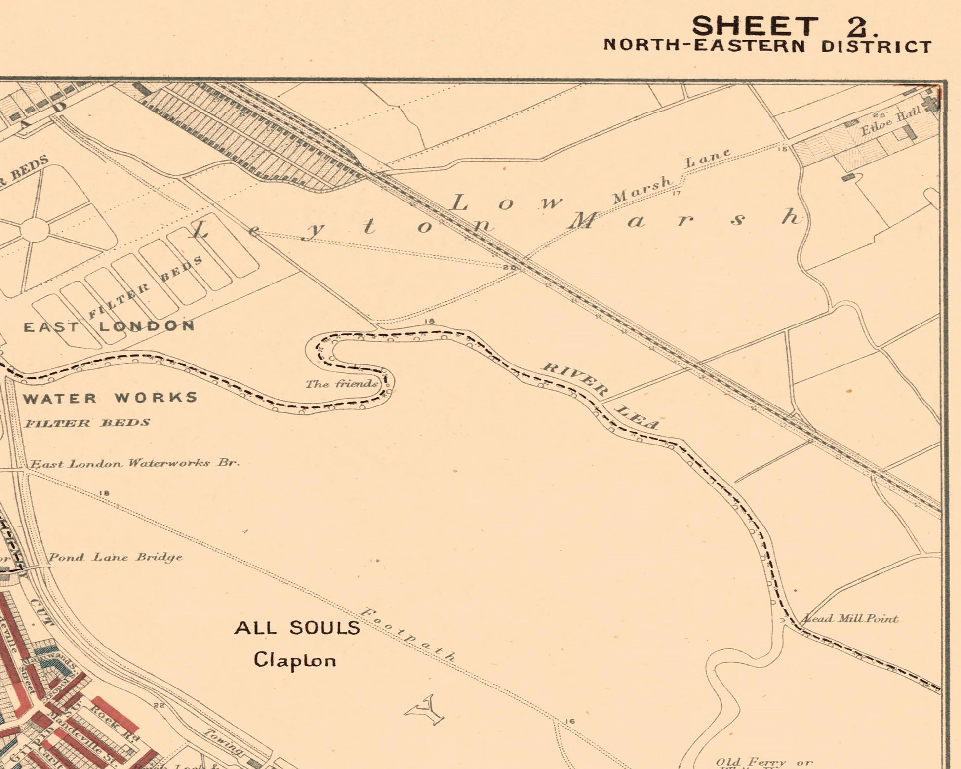
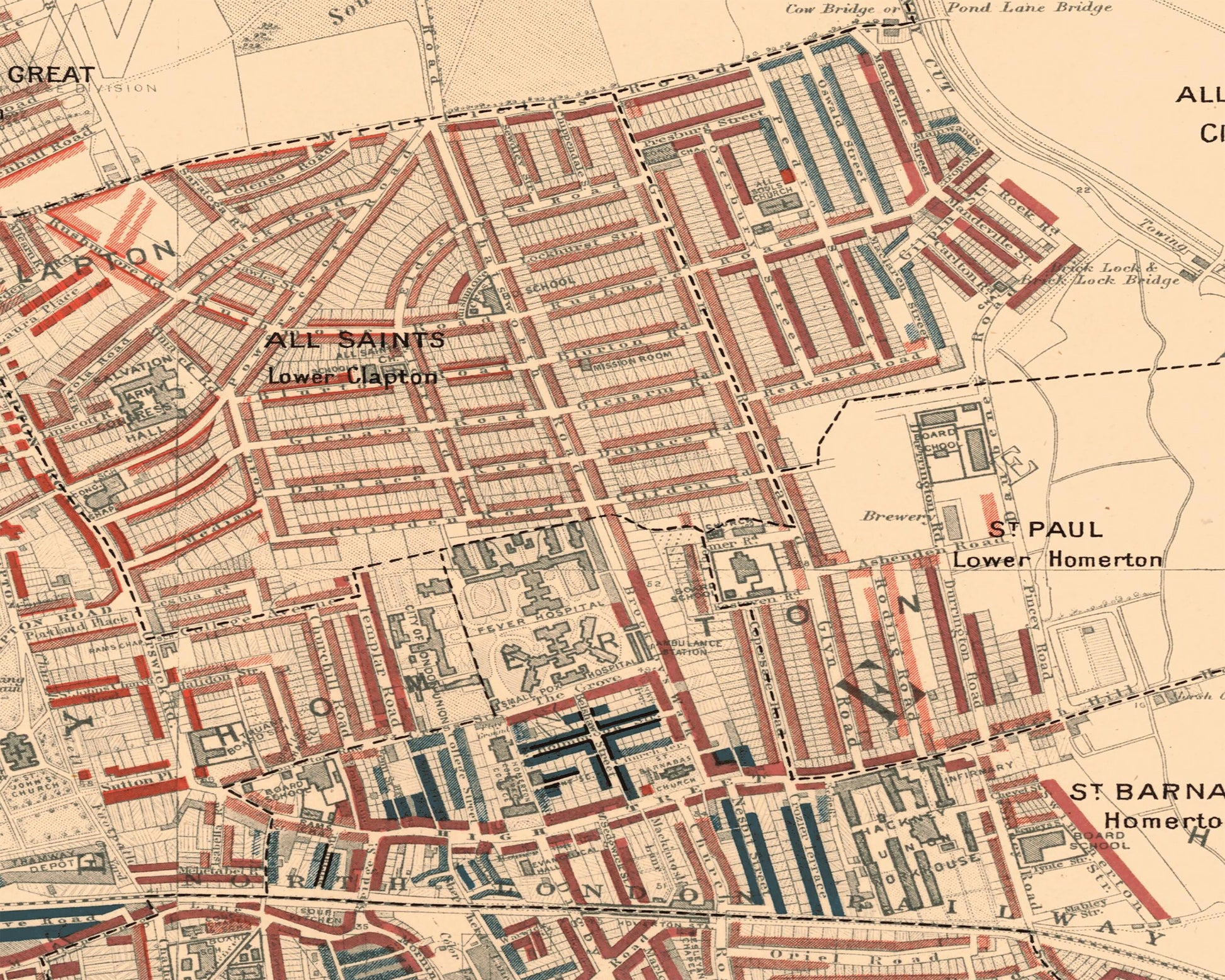
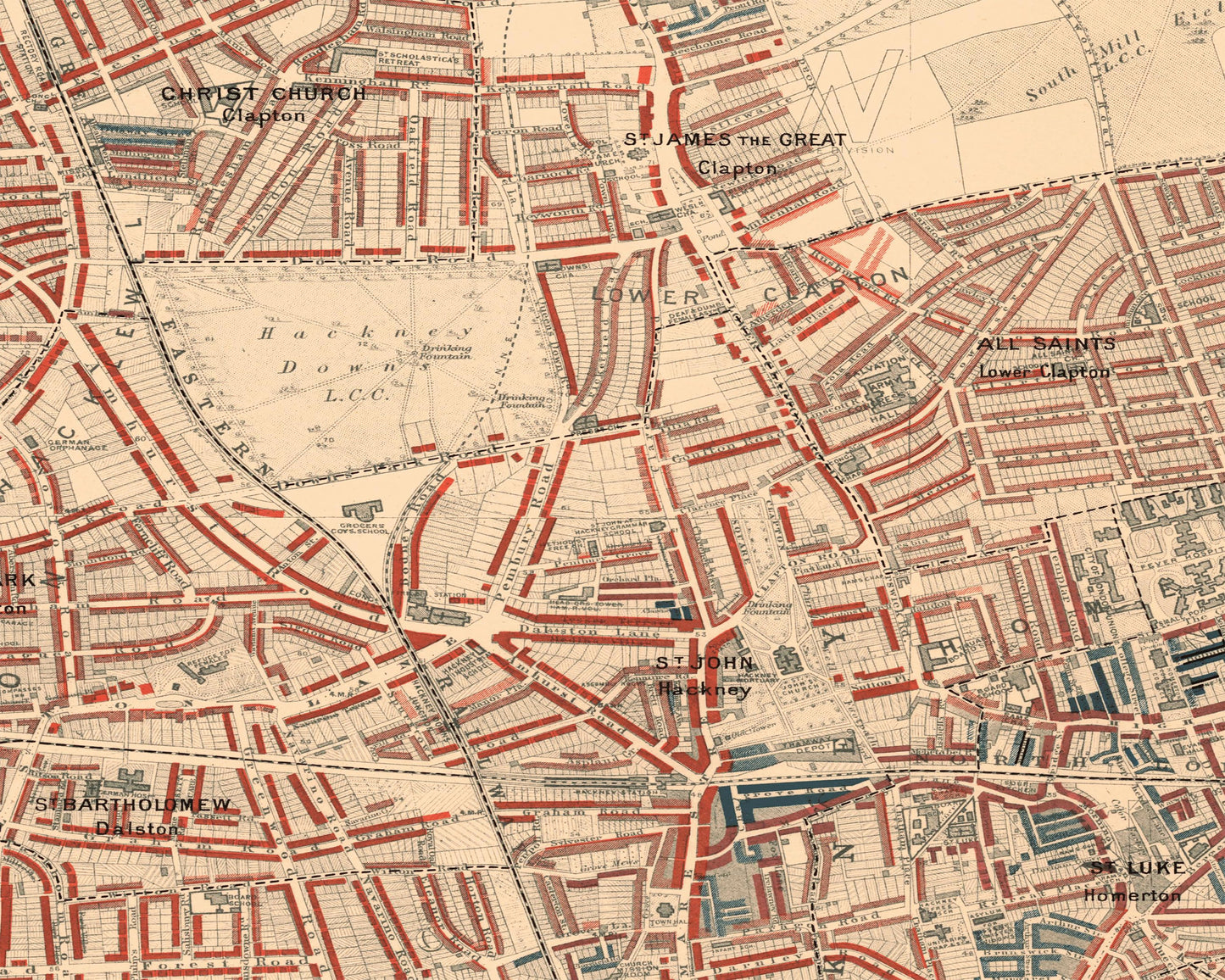
This is an exceptional quality, museum-grade reproduction map which represents an important part of our social history. Social researcher and reformer Charles Booth conducted one of the first surveys to systematically study poverty experienced in the nation's capital. This map - North Eastern district sheet 2 covering Hackney, London Fields, Clapton and Marshes - was one of twelve such maps produced in this comprehensive survey. View the above picture to see the modern-day equivalent area which this map covered.
Areas of interest include:
• Hackney Downs • London Fields • Hackney Common
The detail provided is extensive and shows the conditions in which inhabitants lived in Victorian London. The colour coded key ranges from "Lowest class. Vicious, Semi-criminal", "Very poor, casual. Chronic want" through to "Middle class. Well-to-do" and "Upper-middle and Upper classes. Wealthy"