1
/
of
3
Classic Maps and Prints
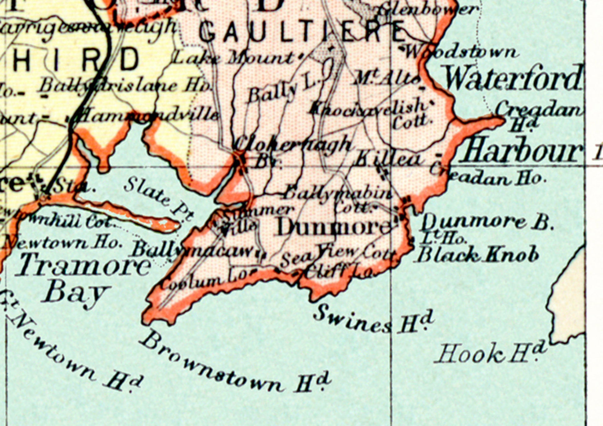
County WATERFORD reproduction Irish Map 1897 by J Bartholomew
County WATERFORD reproduction Irish Map 1897 by J Bartholomew
Regular price
£23.19 GBP
Regular price
£28.99 GBP
Sale price
£23.19 GBP
Unit price
/
per
Tax included.
Couldn't load pickup availability
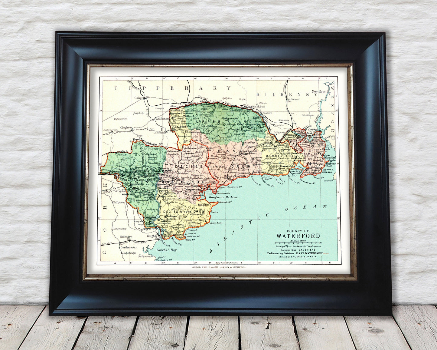
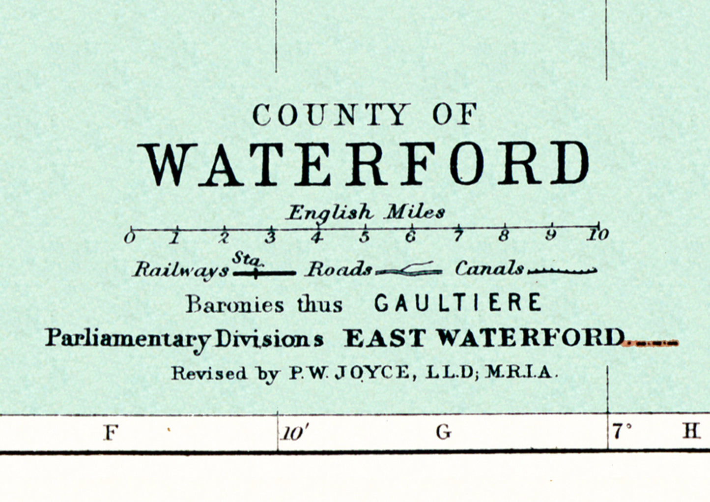
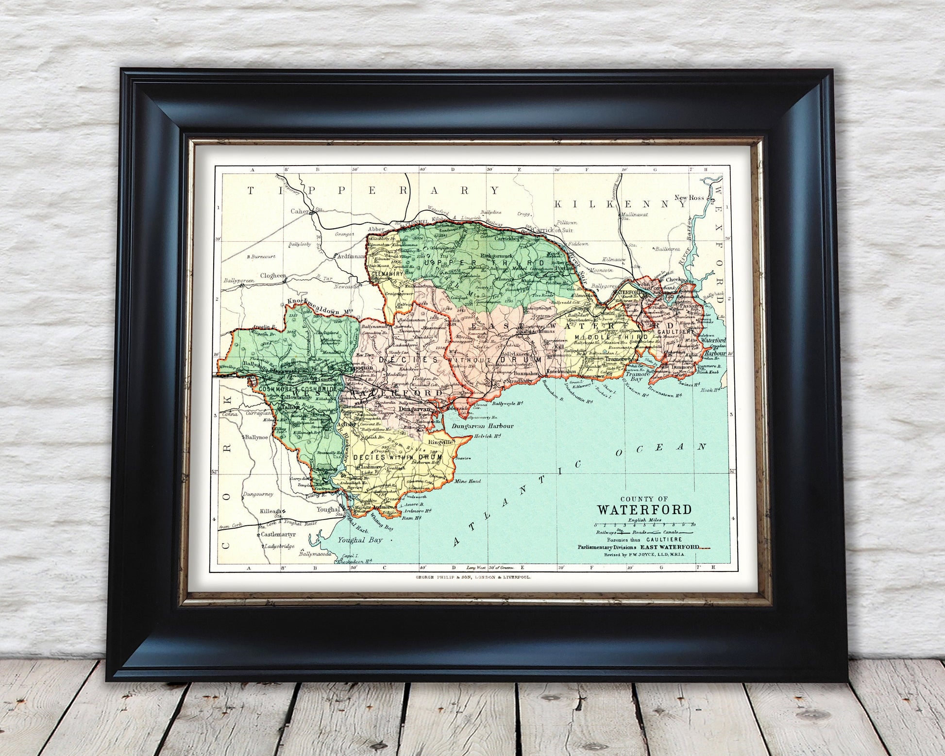
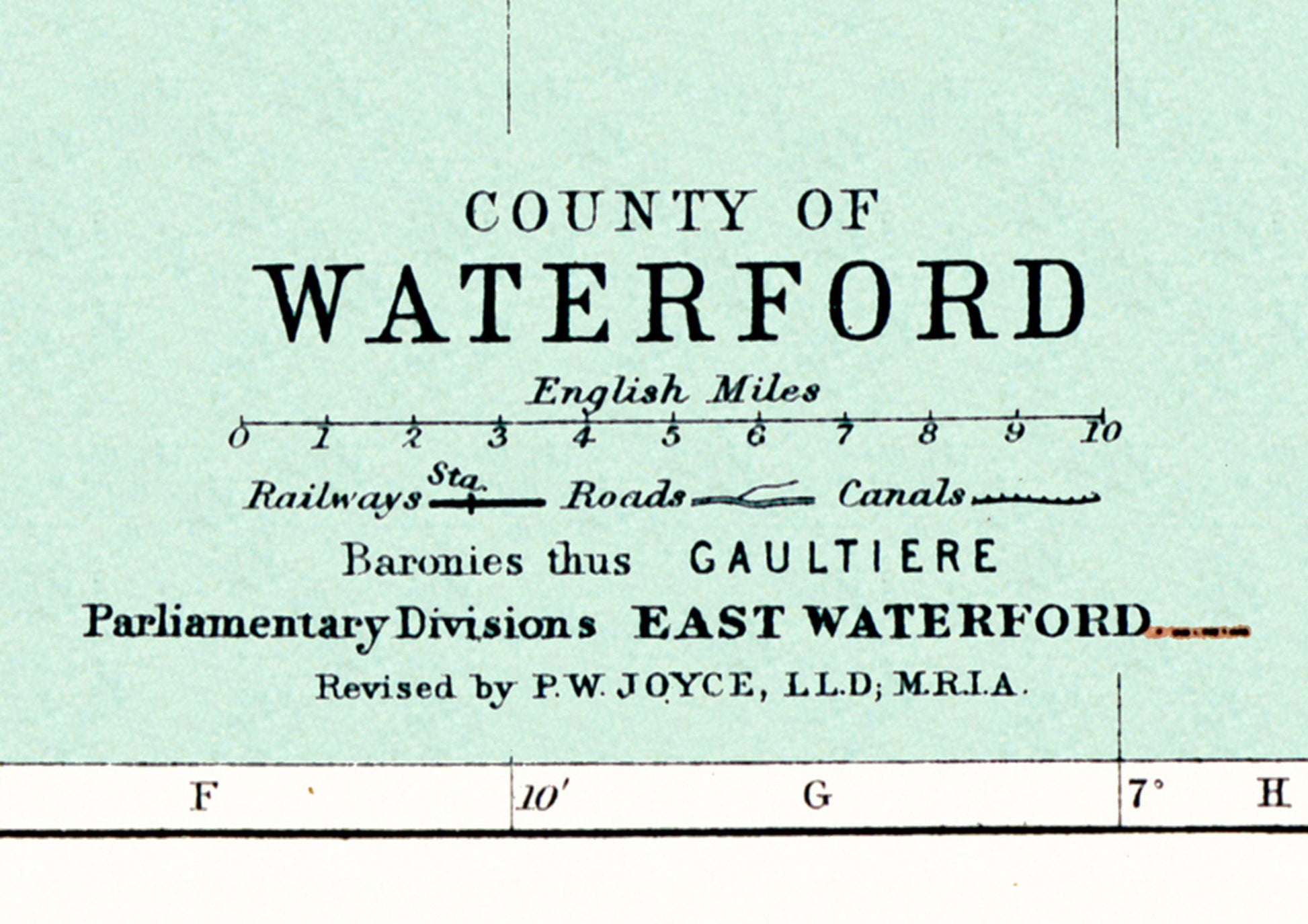
This superb map was one of 32 Irish county maps produced by John Bartholomew and featured in the "Philips' Handy Atlas of the Counties of Ireland" published by George Philip & Son Ltd in 1897.
The County of Waterford is located in the south west of Ireland in the province of Munster and has neighbouring counties of Cork, Tipperary and Wexford and Kilkenny from the province of Leinster.
My reproduction has been digitally cleaned to remove the fold mark and other signs of aging whilst retaining the integrity of the original piece.
Share