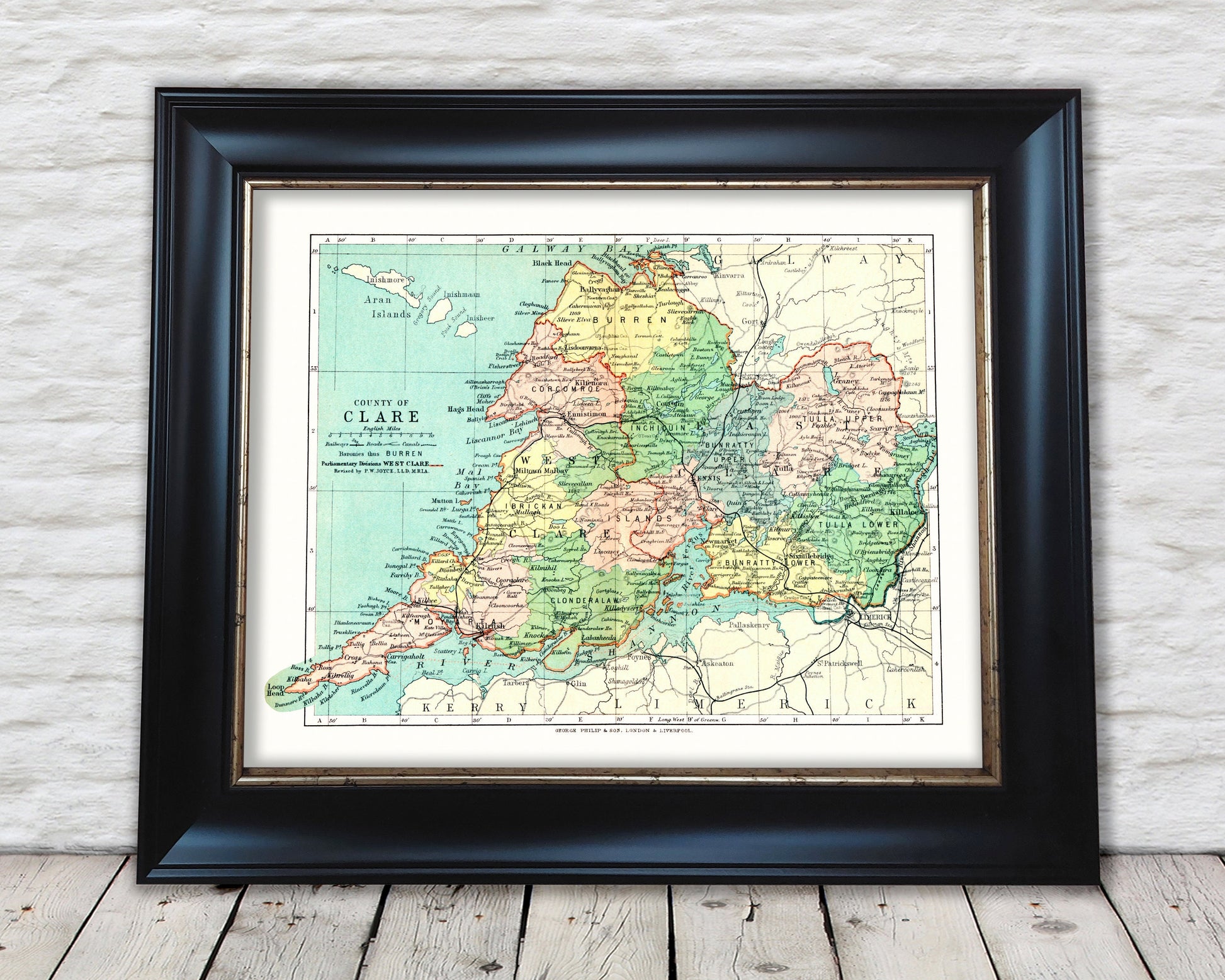
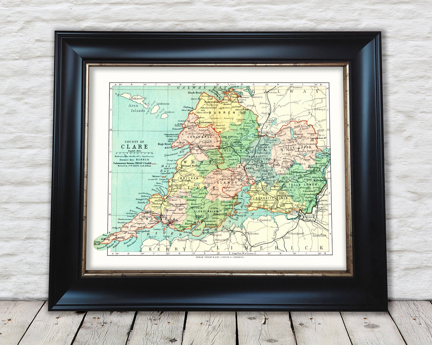
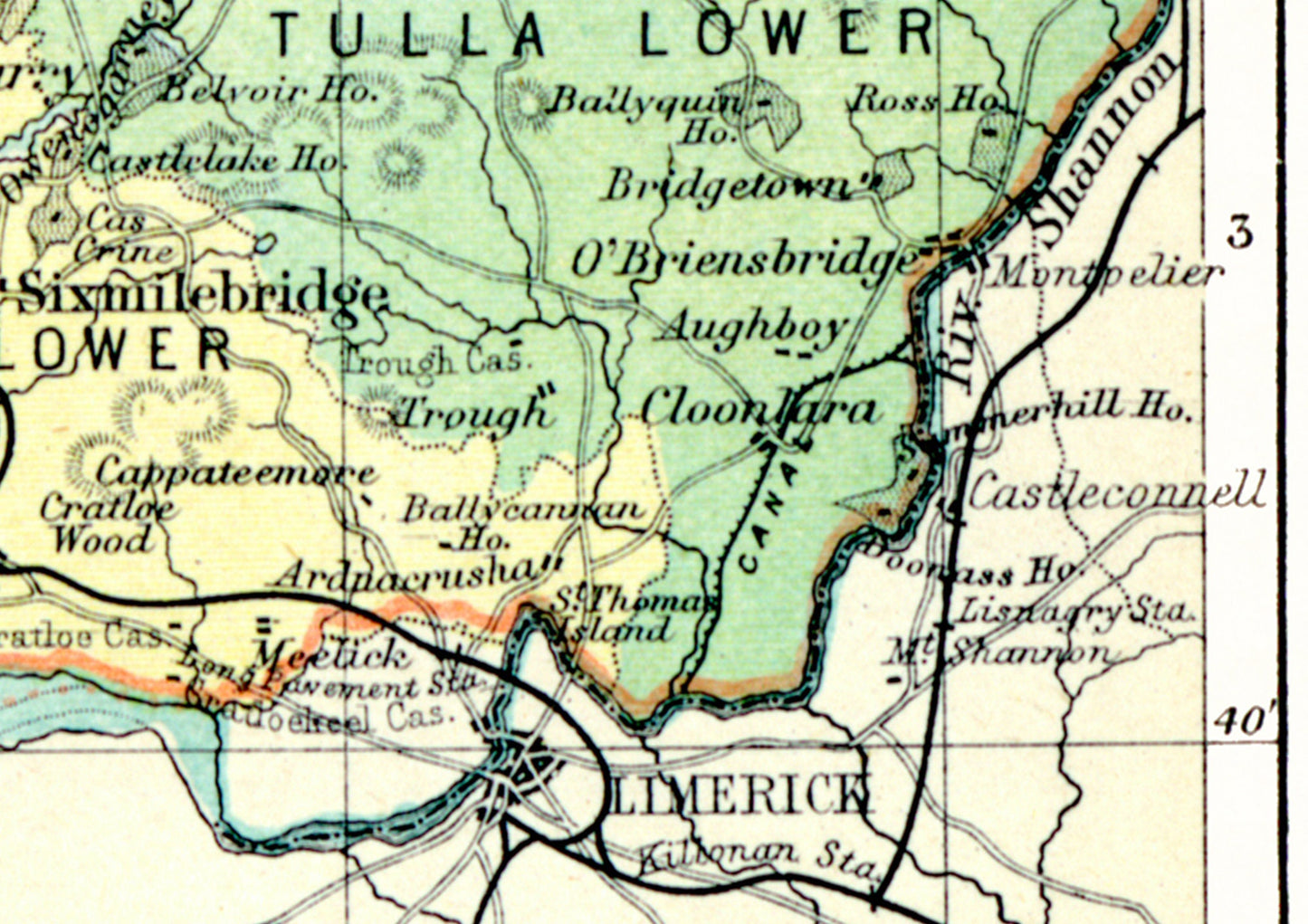
This superb map was one of 32 Irish county maps produced by John Greenwood and featured in the "Philips' Handy Atlas of the Counties of Ireland" published by George Philip & Son Ltd in 1897.
The County of Clare is located in the south west of Ireland in the province of Munster and has neighbouring counties of Limerick, Tipperary, Kerry and Galway (Connacht).
My reproduction has been digitally cleaned to remove the fold mark and other signs of aging whilst retaining the integrity of the original piece.