

Classic Maps and Prints
CHESHIRE 1837 - Reproduction vintage County Map by Thomas Moule 1837
CHESHIRE 1837 - Reproduction vintage County Map by Thomas Moule 1837
Couldn't load pickup availability
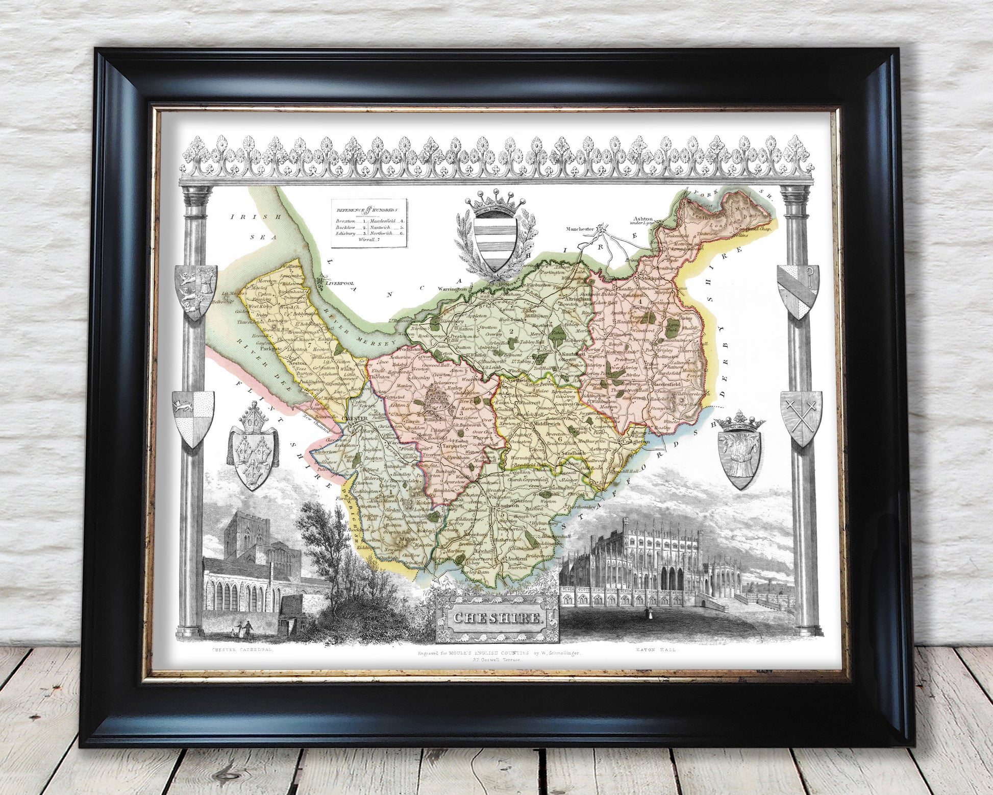
Reproduction vintage Cheshire map by Thomas Moule 1837 part of the Moule's English Counties Series
Maps by Thomas Moule (1784-1851) are probably, with those by Speed, the best known of all series of English county maps. Issued from 1830, the maps combine a clarity of cartographic style with immense detail, by way of vignette views, scenes and portraits relating to the county shown, often set within a gothic architectural or floral surround into which armorial devices and so on are worked.
This vibrant work brings to life part of our recent history and is a masterpiece of it's kind. This classic piece would look stunning mounted and would form a centrepiece of any room.
This print is produced on premium heavyweight 230 gsm paper and uses the finest quality inks that will not fade or smudge.
Comes with a generous border to allow any further trimming
This print taken from an original has been digitally enhanced but some areas of discolouration remain
This particular Cheshire map features:
-----------------------------------------------------
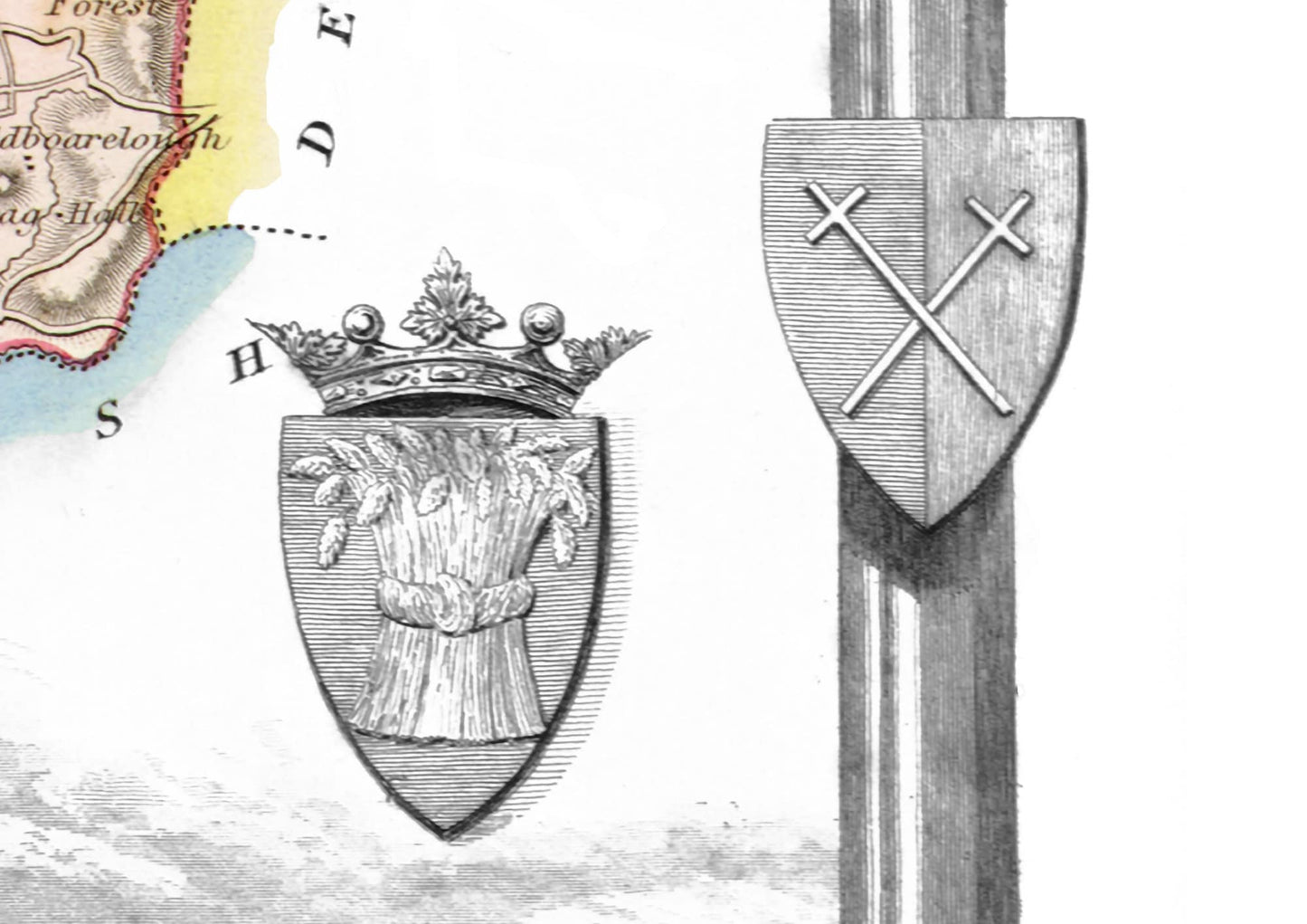
• A stunning border incorporating a floral design and seven Coats of Arms
• Vignette of Chester Cathedral
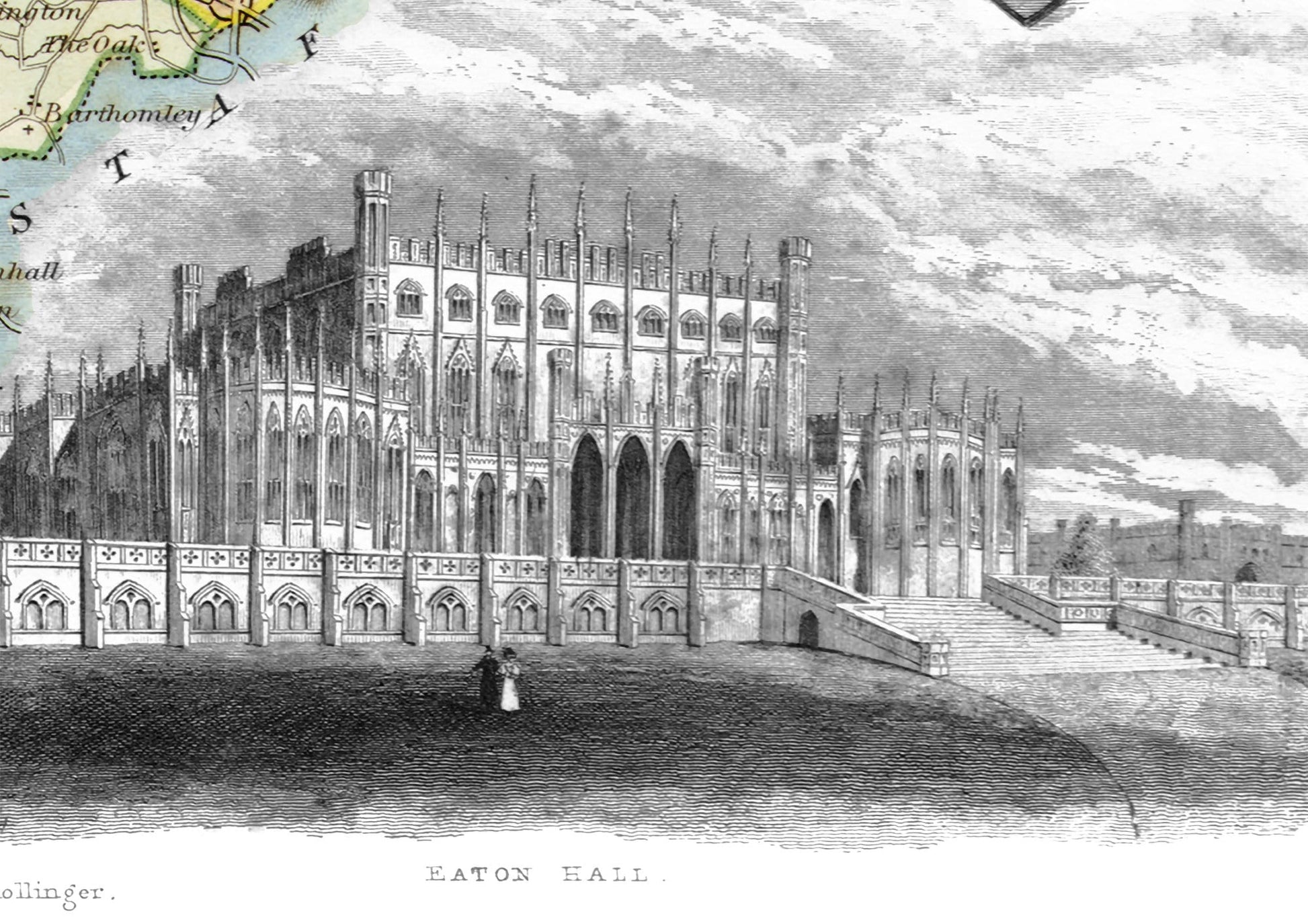
• A vignette of Eaton Hall
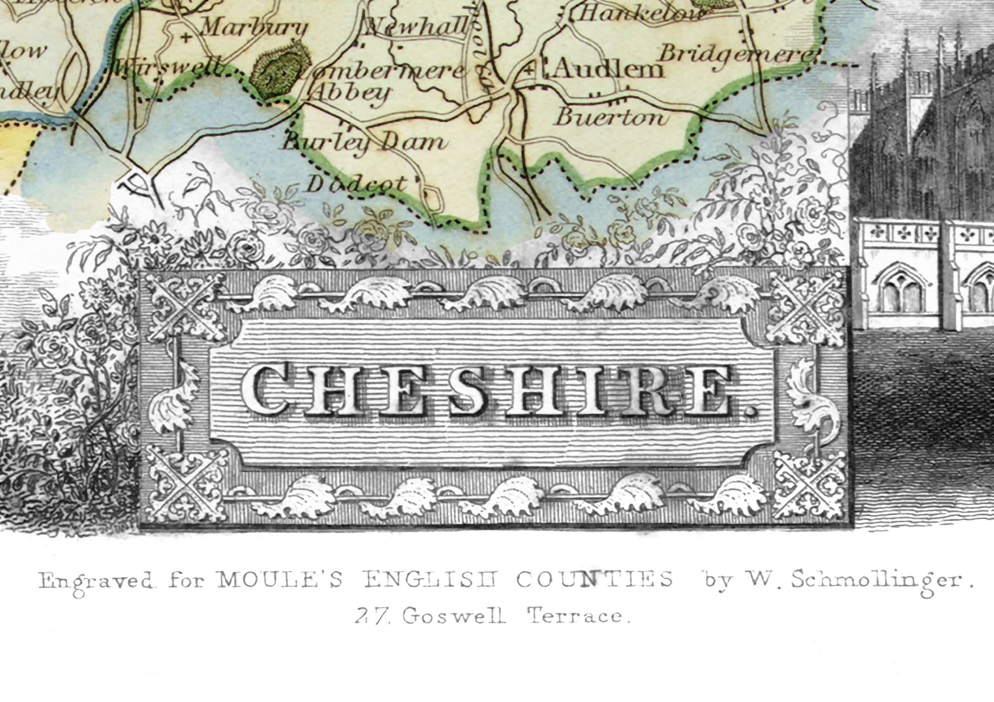
• Decorative Cheshire Title
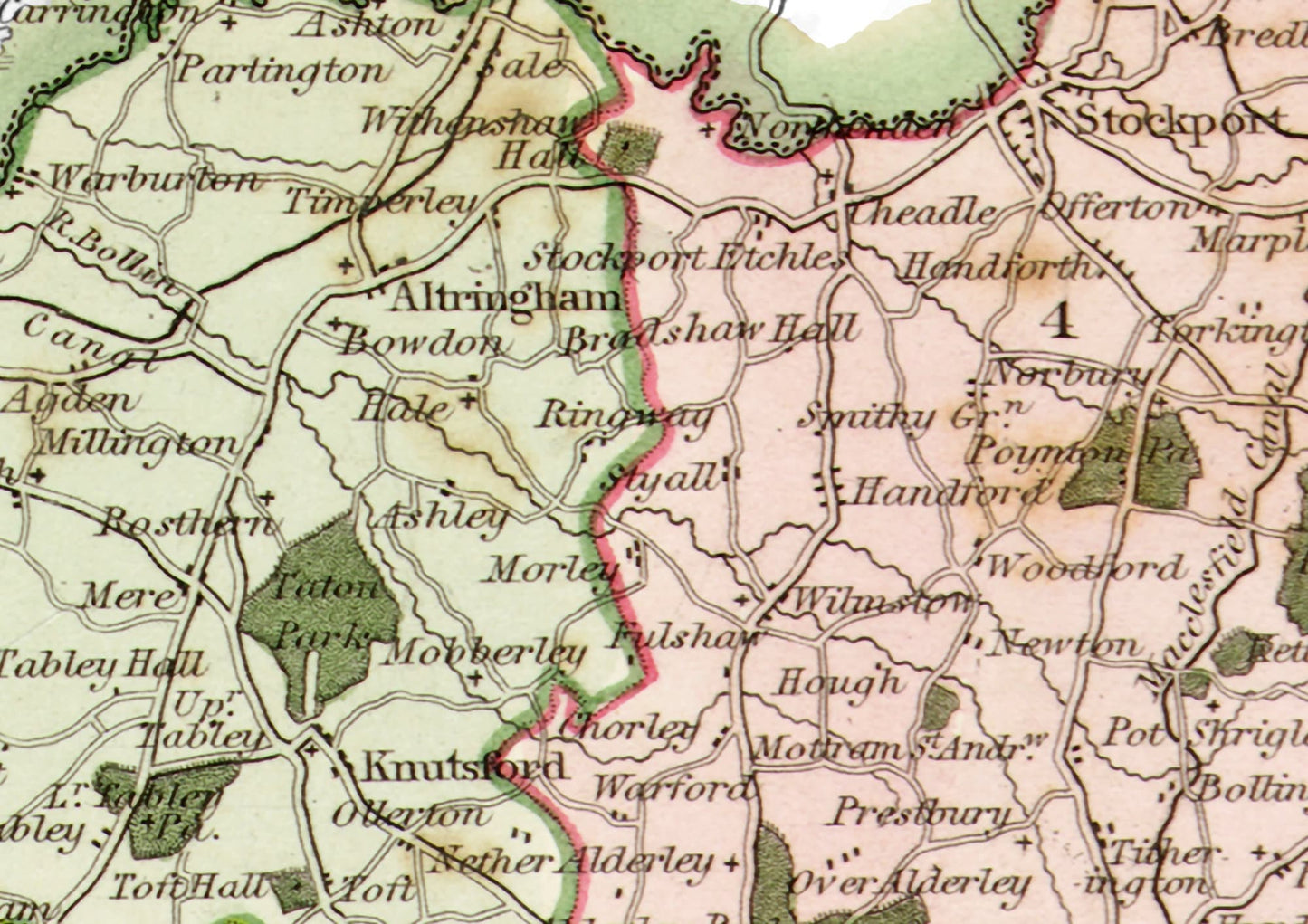
• A classically drawn, coloured map of Cheshire
Share