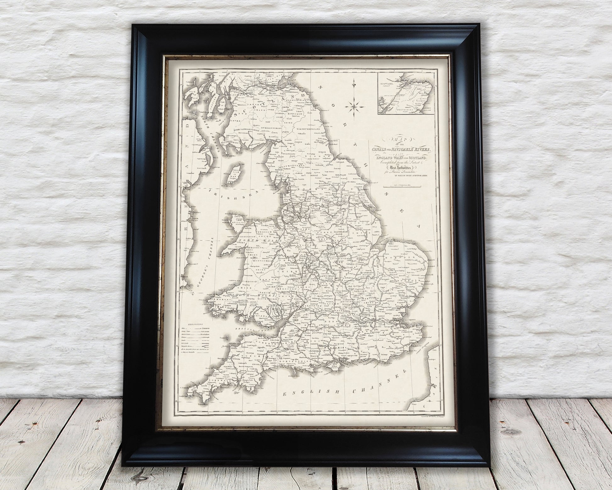
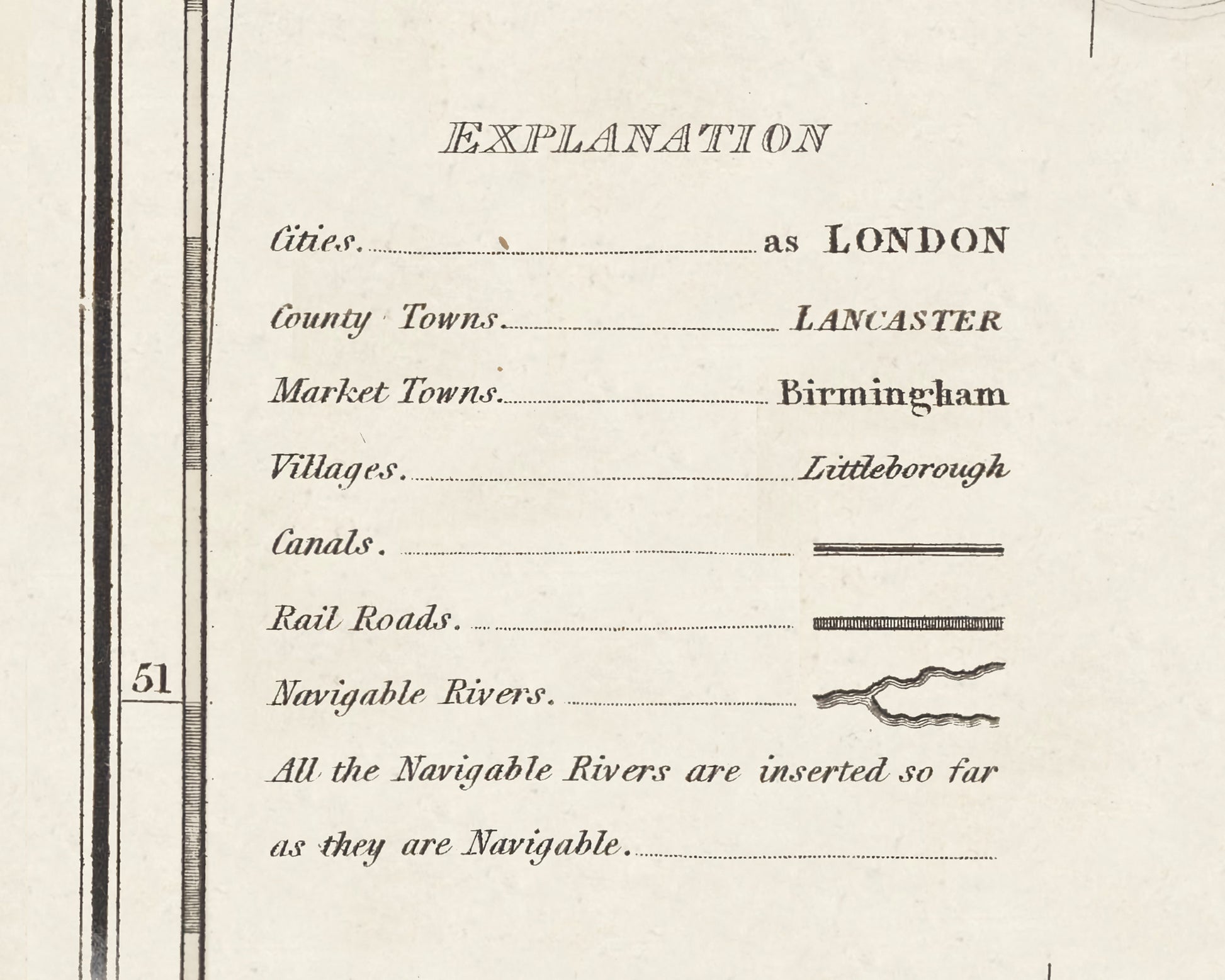
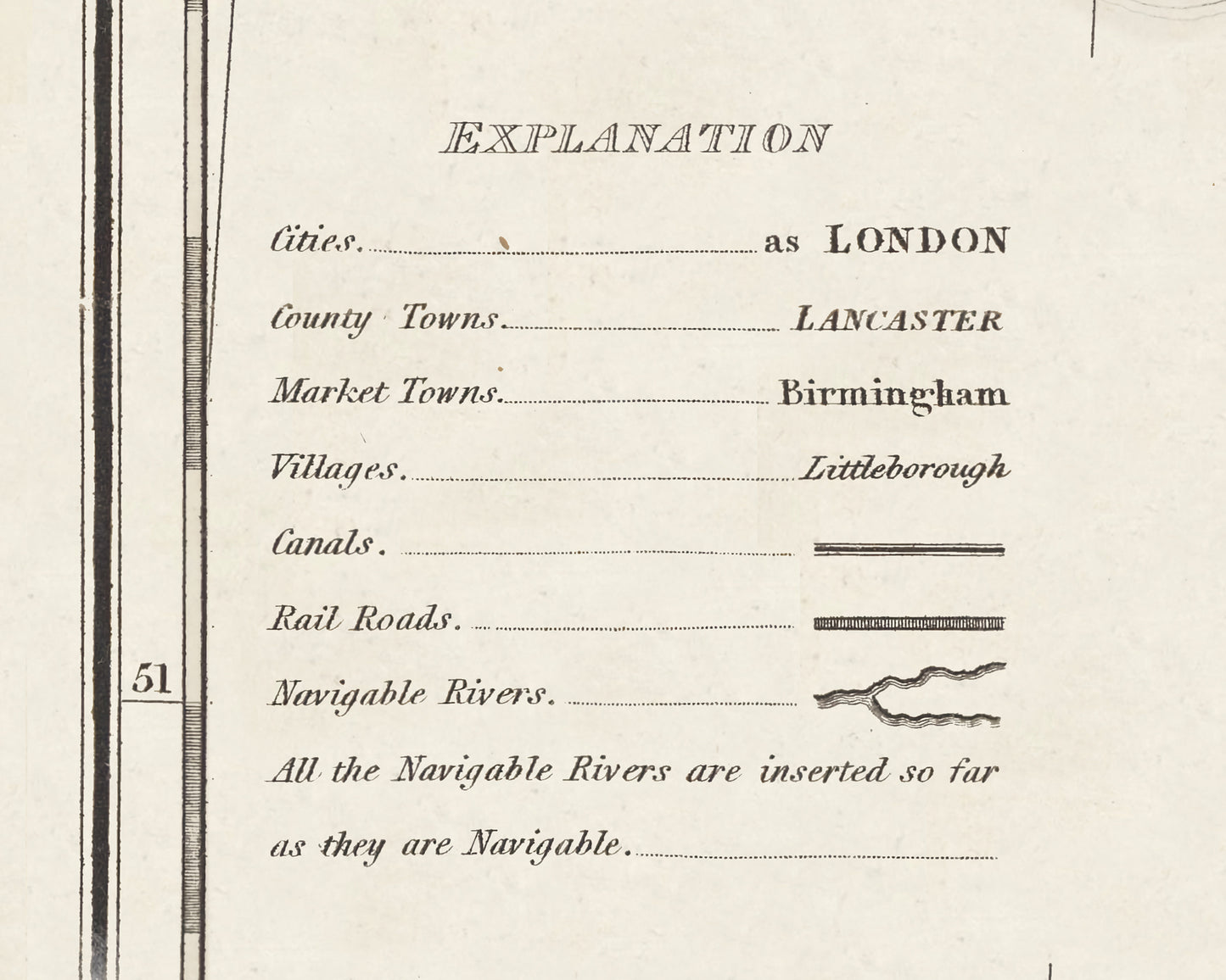
Our British Canal Map by William Swire accurately depicts the canal network of Great Britain with detailed, precise design. Perfect for boaters, navigators, and canal-lovers, the map provides a complete overview of the country's waterways. It's an essential tool for anyone looking to explore the history of the UKs canals.
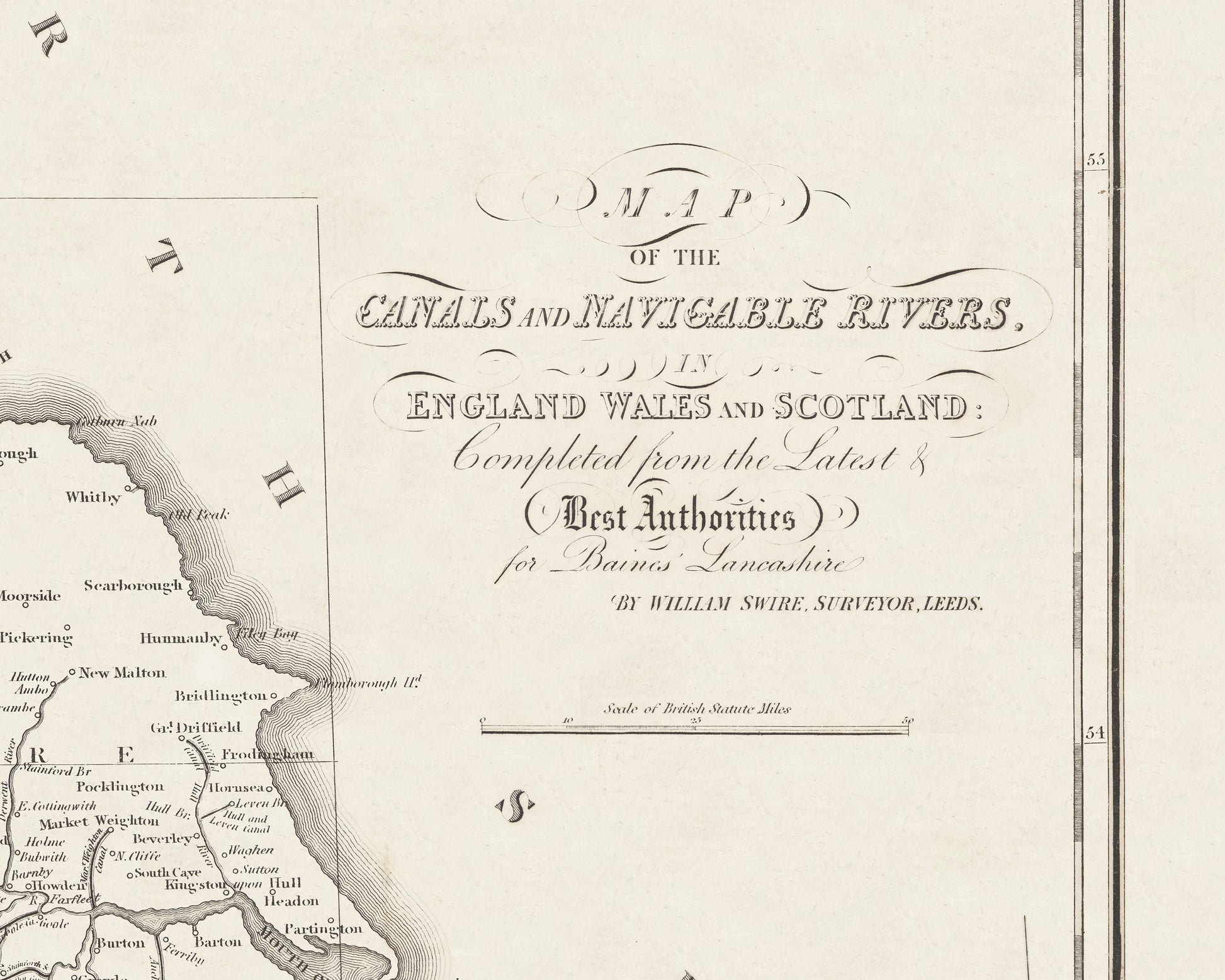
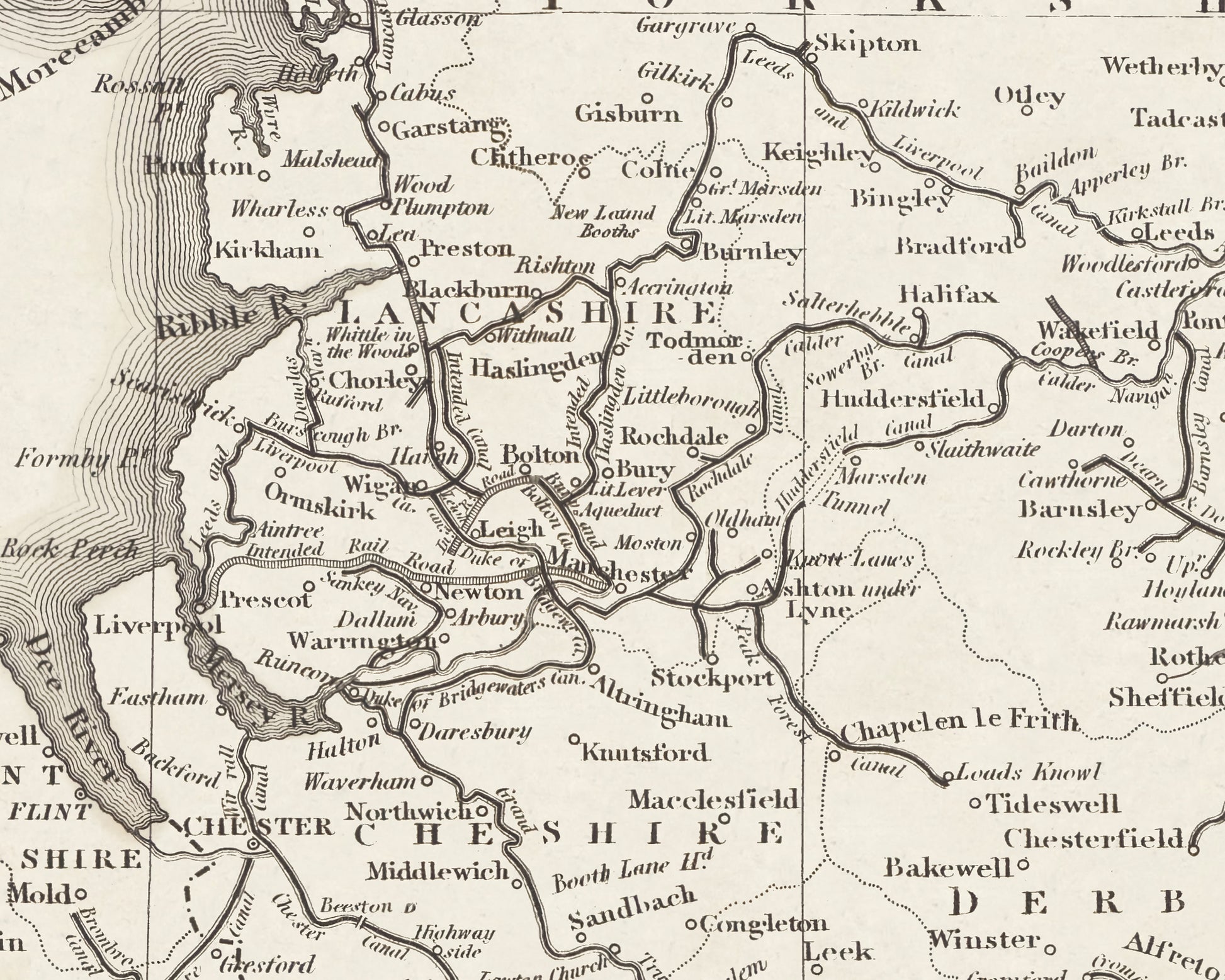
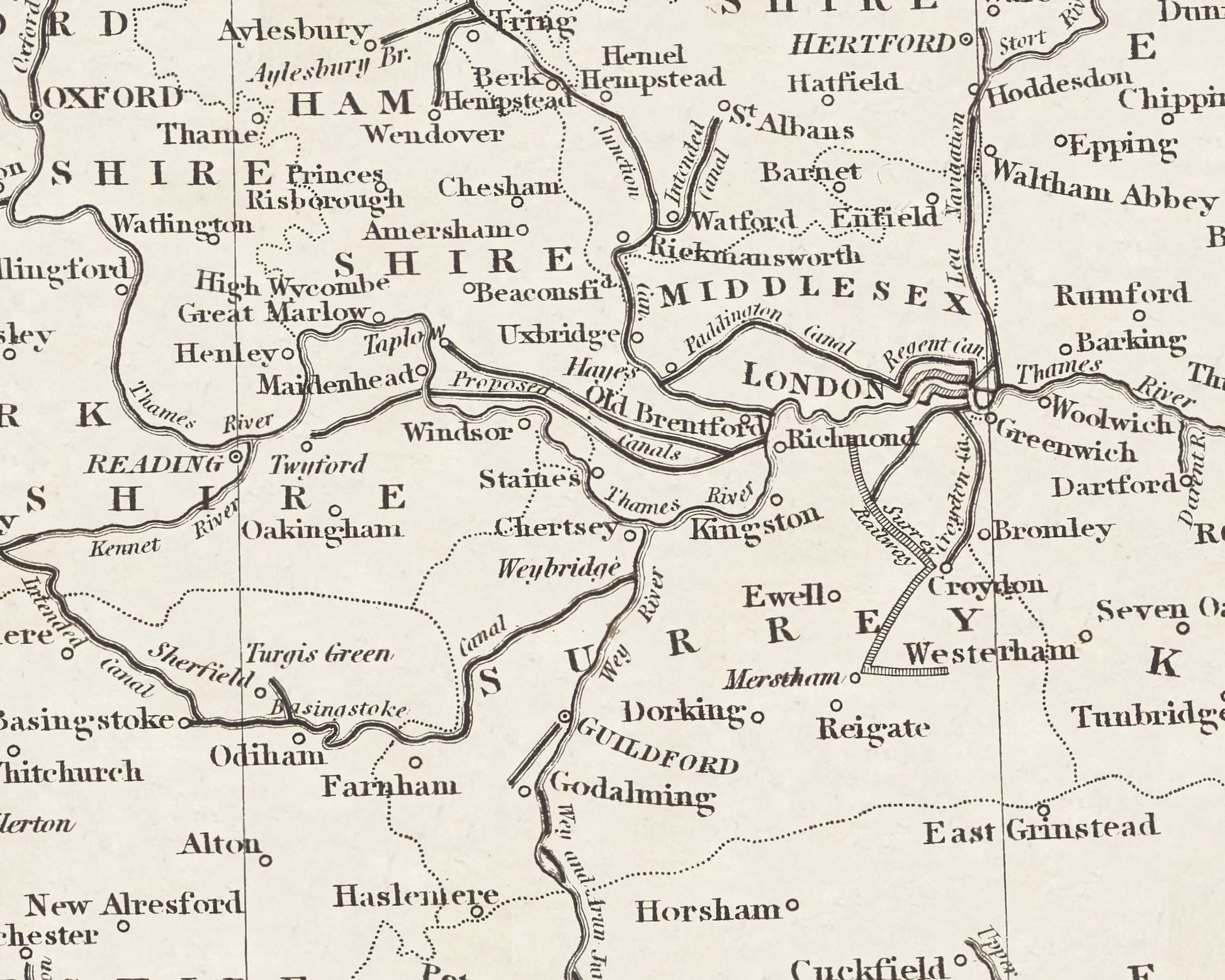
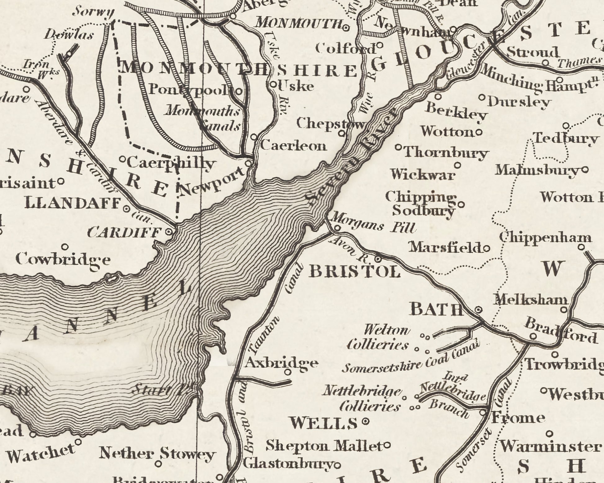
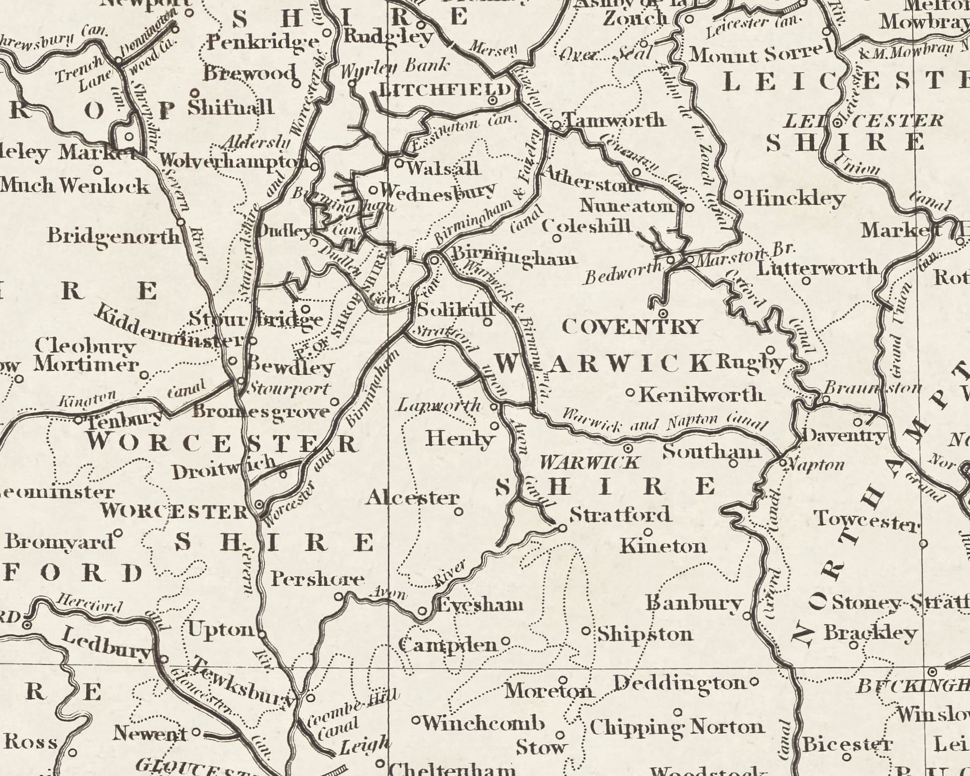
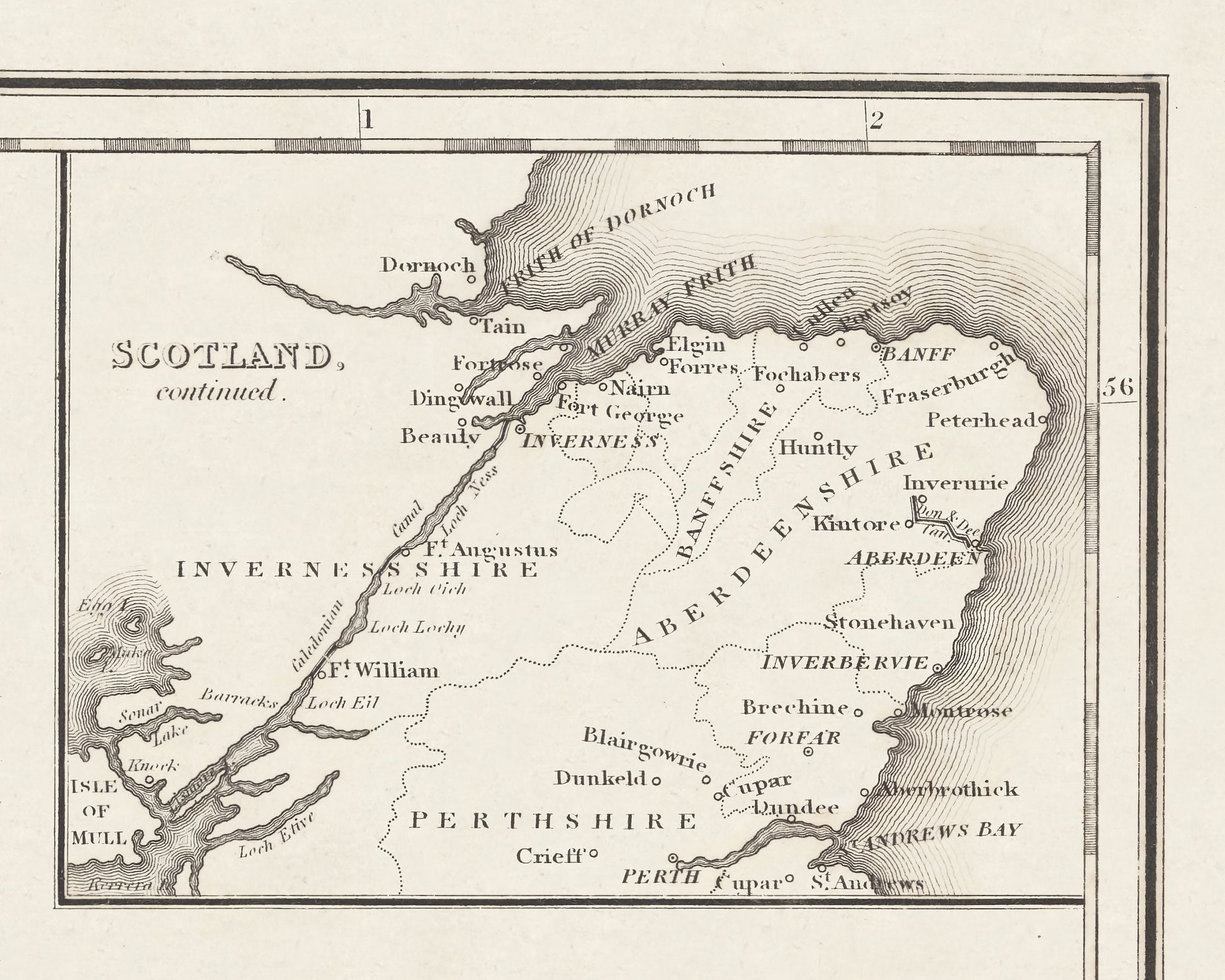
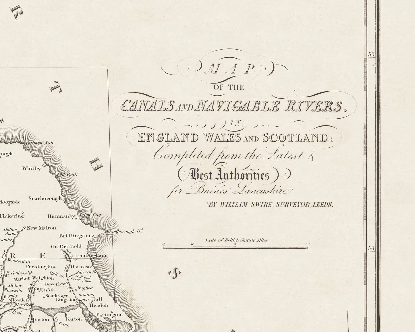
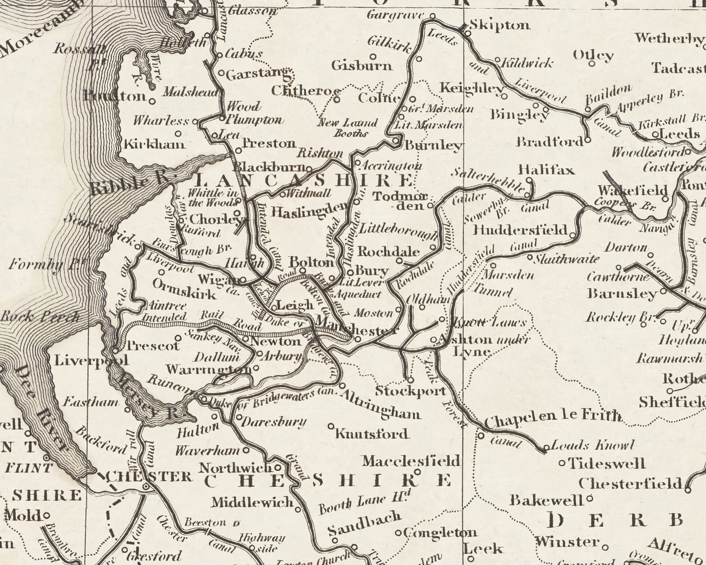
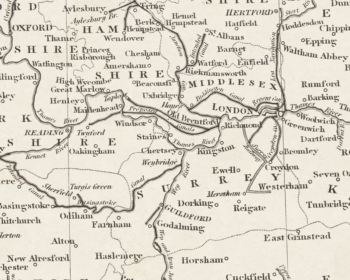
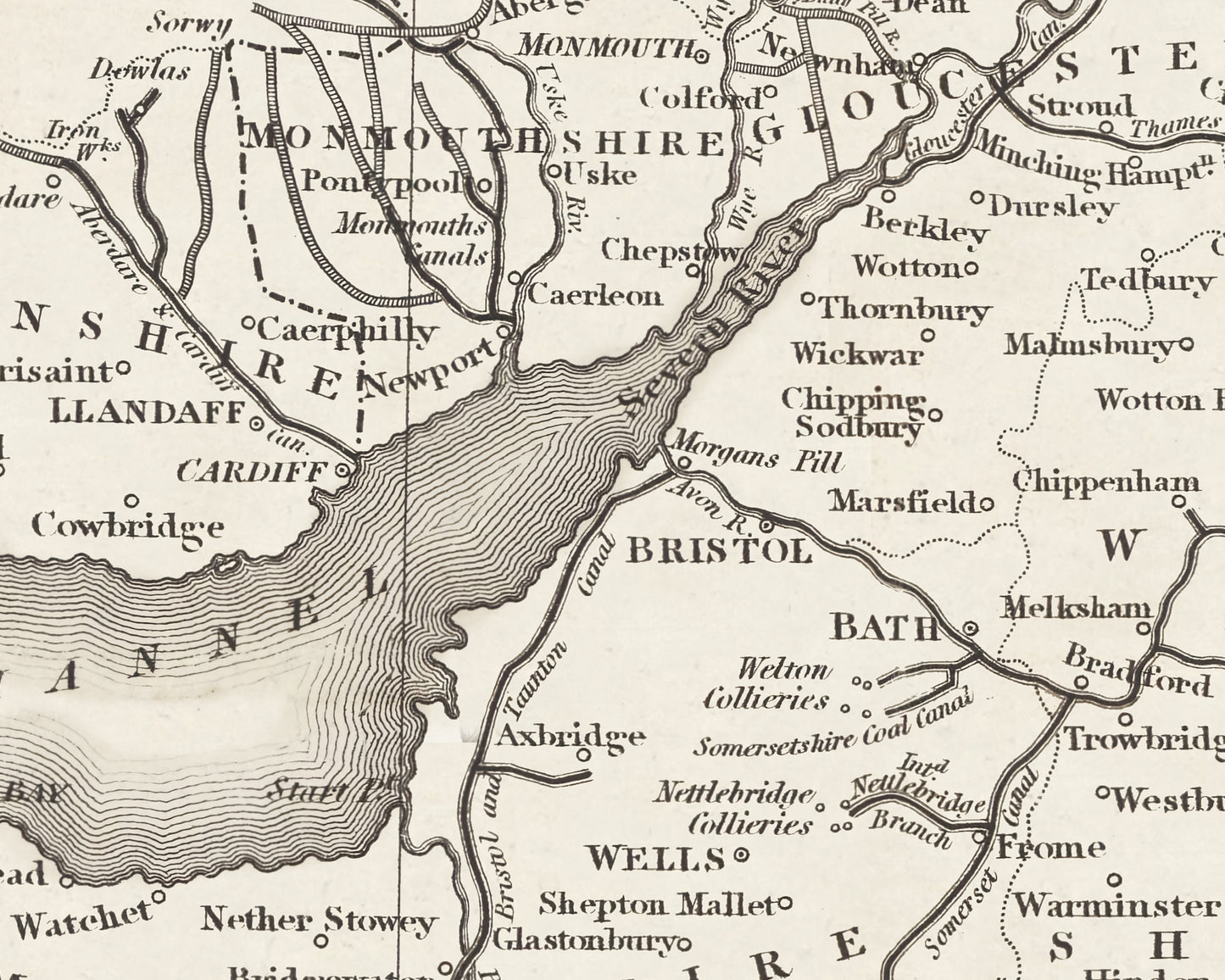
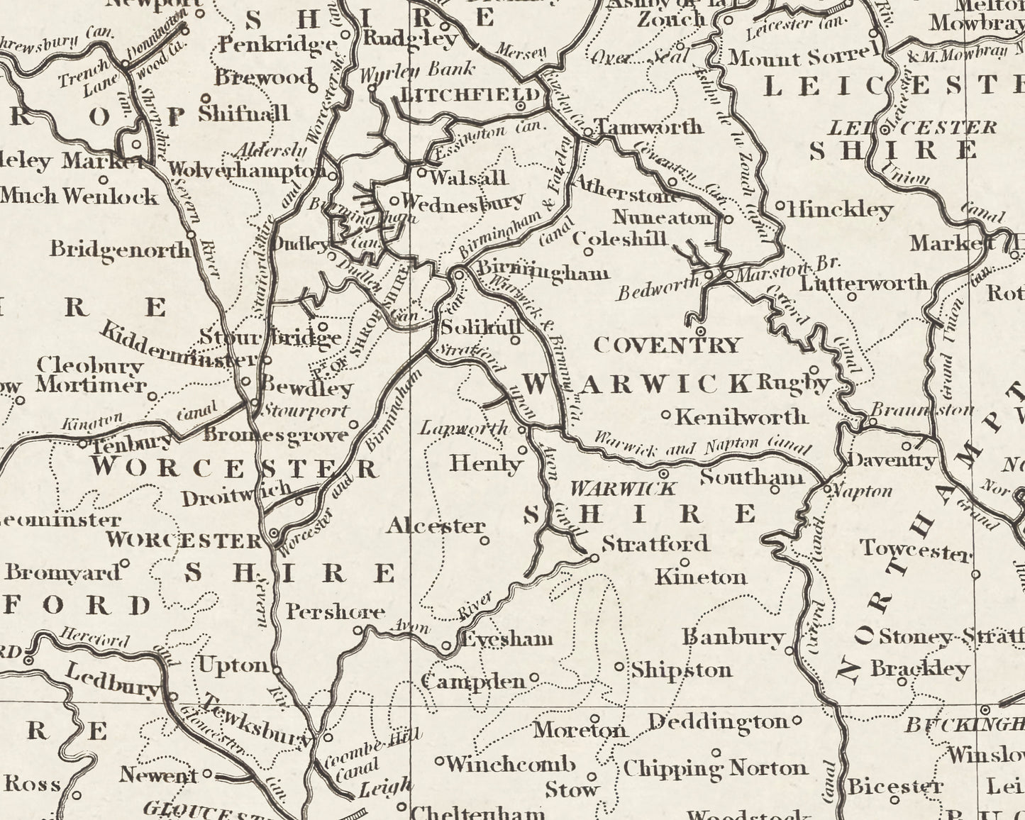
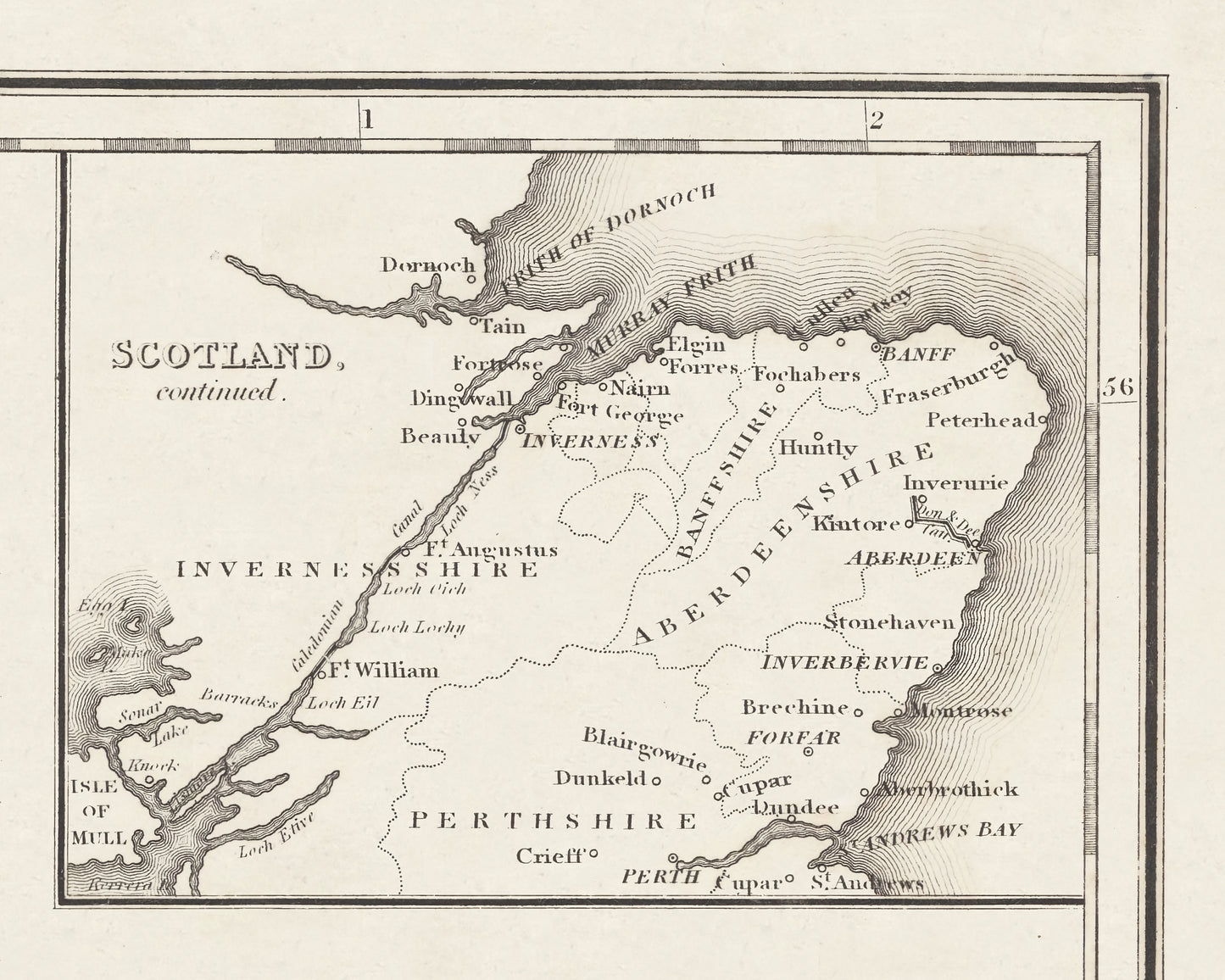
This exceptional, rare canal and navigable rivers map was surveyed by William Swires for Baines, Lancashire, published in 1888. This map charts the crucial contribution that Britain's internal waterways made towards the Industrial Revolution. The period from the 1770s to the 1830s represented a "Golden Age" in Britain's canal building development. The Duke of Bridgewater's Canal from Worsley to Manchester completed in 1761 was one of the first such examples allowing coal to be transported from the Duke's mines to Manchester. Countless other canals were built during this period including The Grand Trunk, Grand Union, Leeds and Liverpool, Kennet and Avon, Forth and Clyde, Caledonian, and the Worcester and Birmingham. Such canals were crucial to deliver raw materials and food to the burgeoning towns and to transport finished produce for sale within Britain and to more distant shores.