Classic Maps and Prints
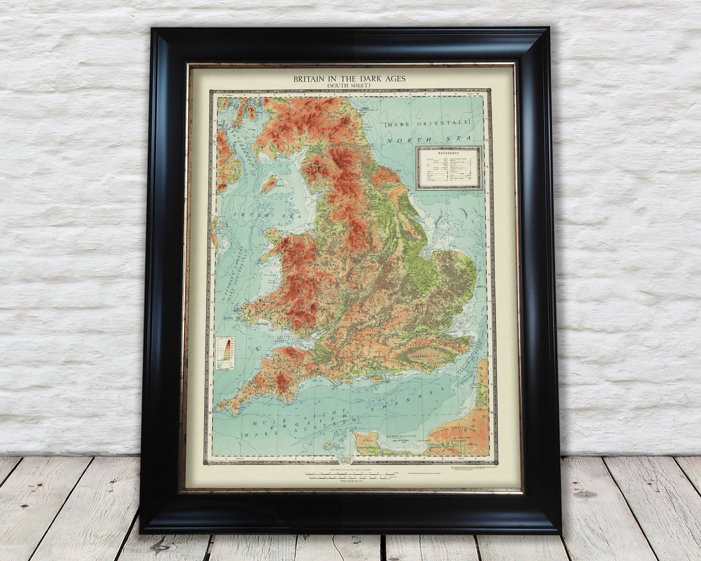
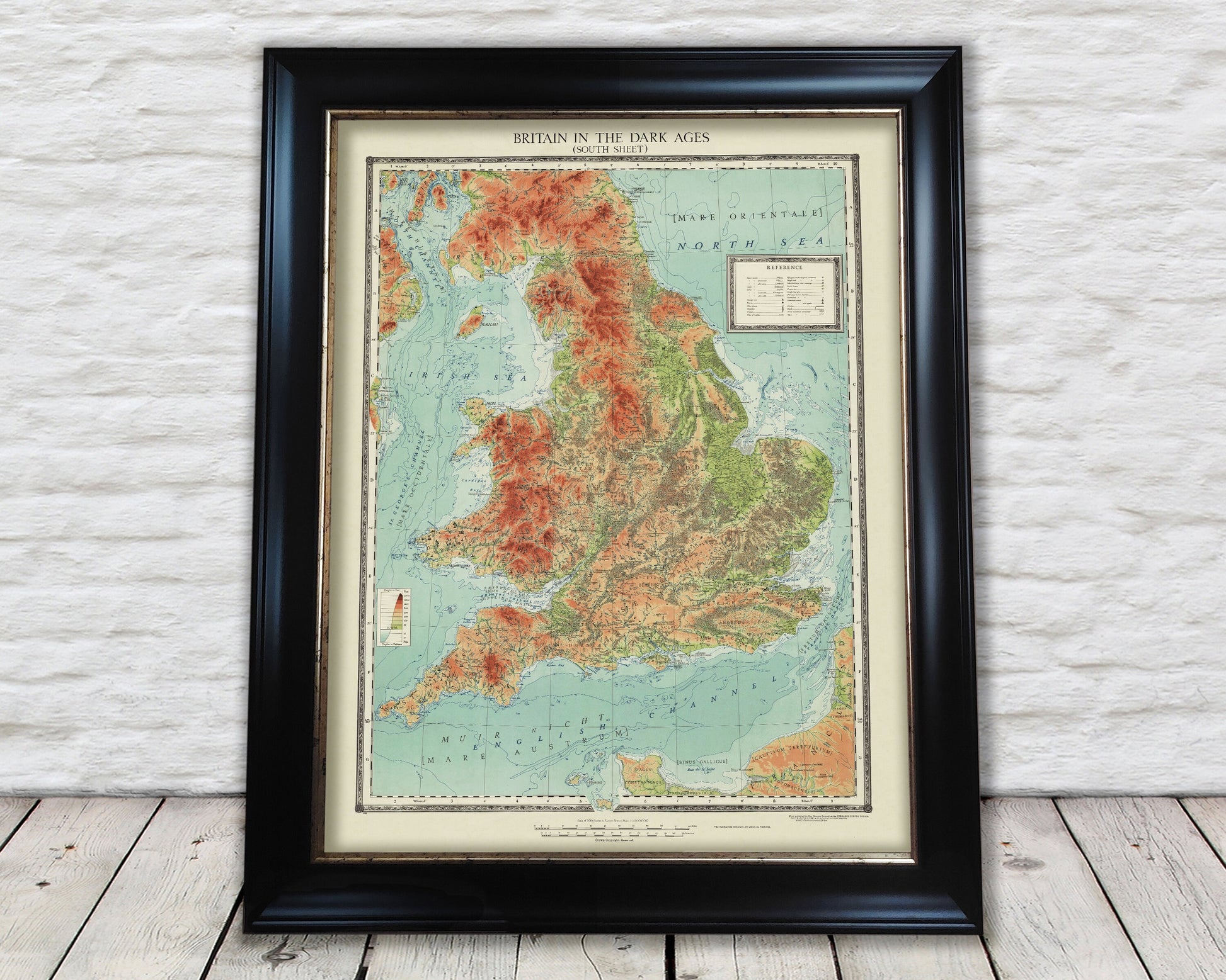
Britain in the DARK AGES (410 - 871 AD) Superb map 1935
Britain in the DARK AGES (410 - 871 AD) Superb map 1935
Couldn't load pickup availability
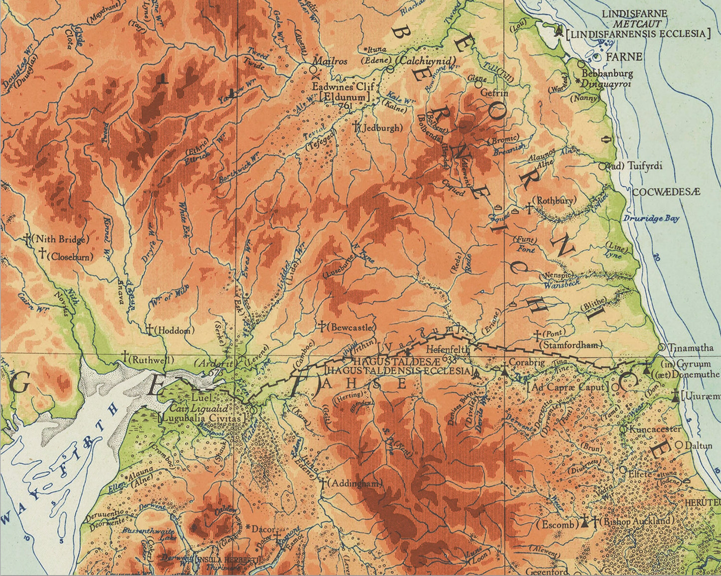
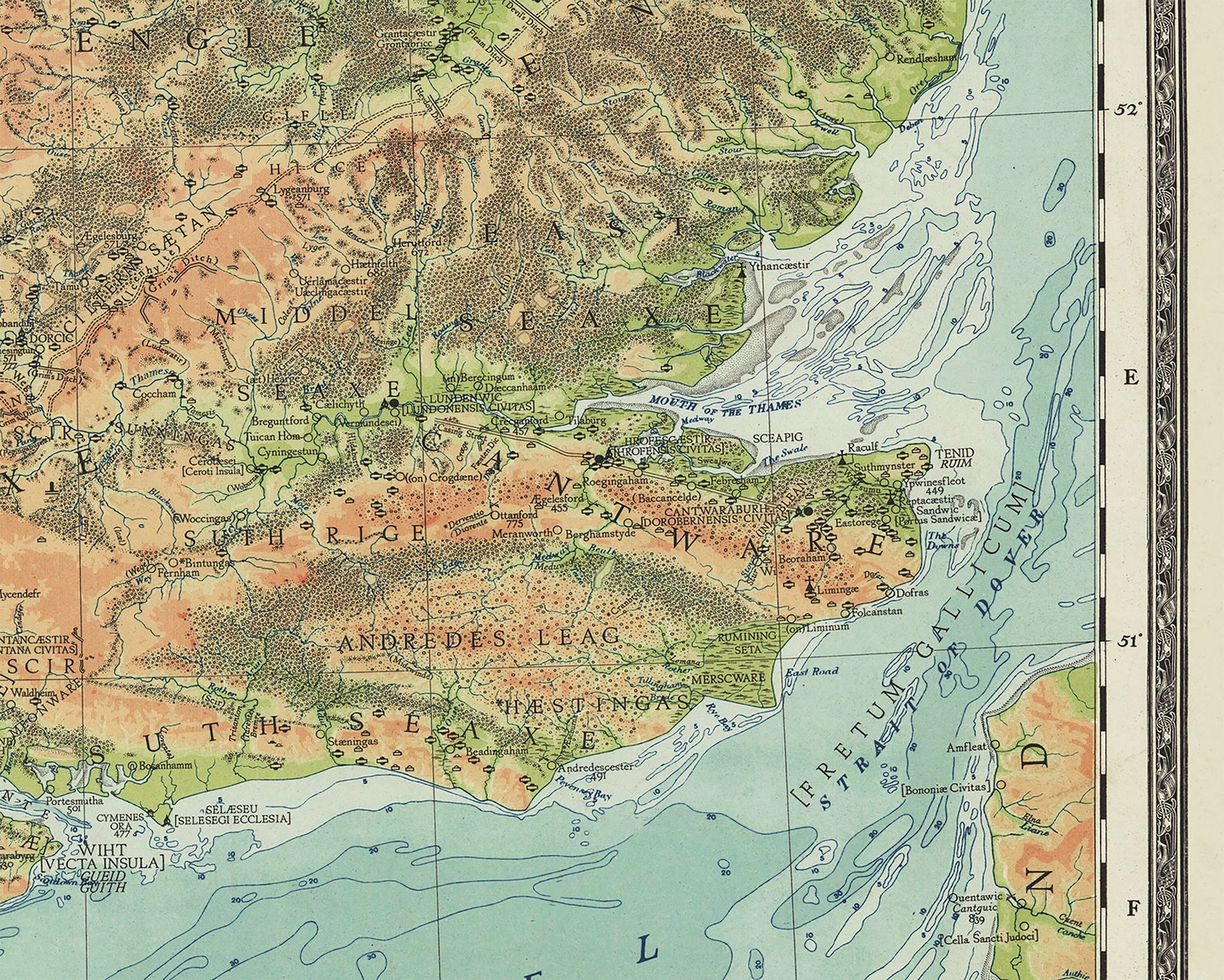
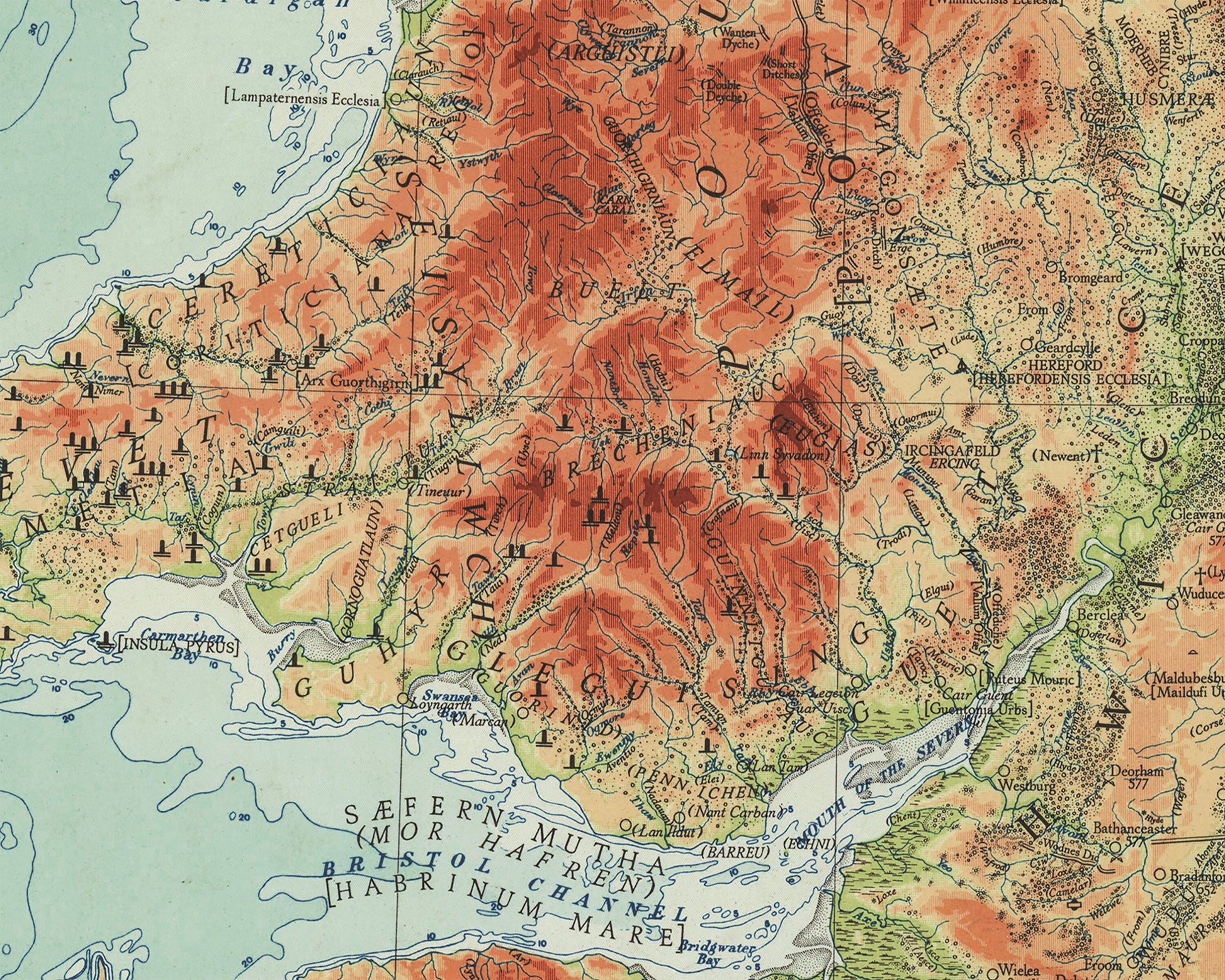
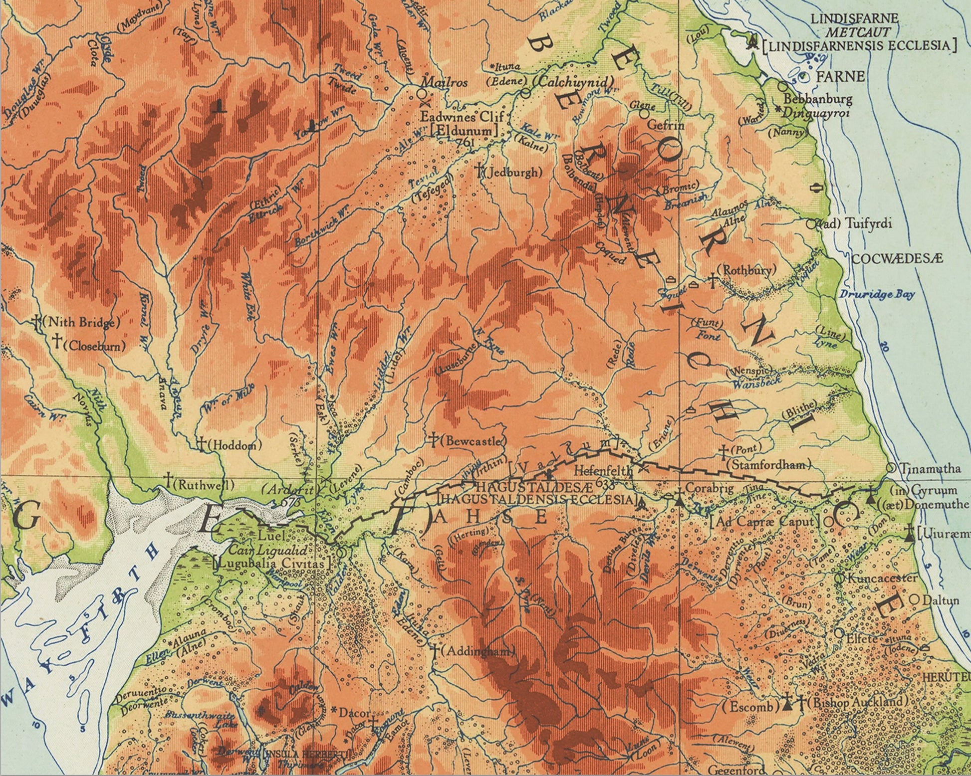
This is a superb full colour map produced by the Ordnance Survey in 1935 charting Britain in the Dark Ages from approximately 410 AD to 871 AD. This period represents a fascinating blend of peoples from the decline of the Roman Empire, the rise of the Anglo-Saxons, the Viking invasions from 793 onwards and the indigenous Celtic people.
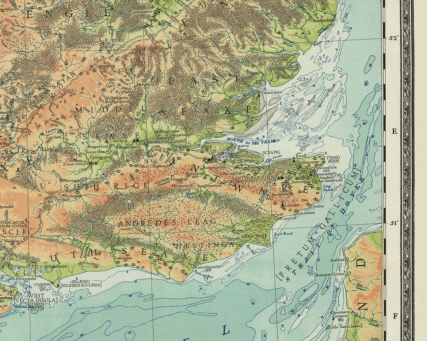
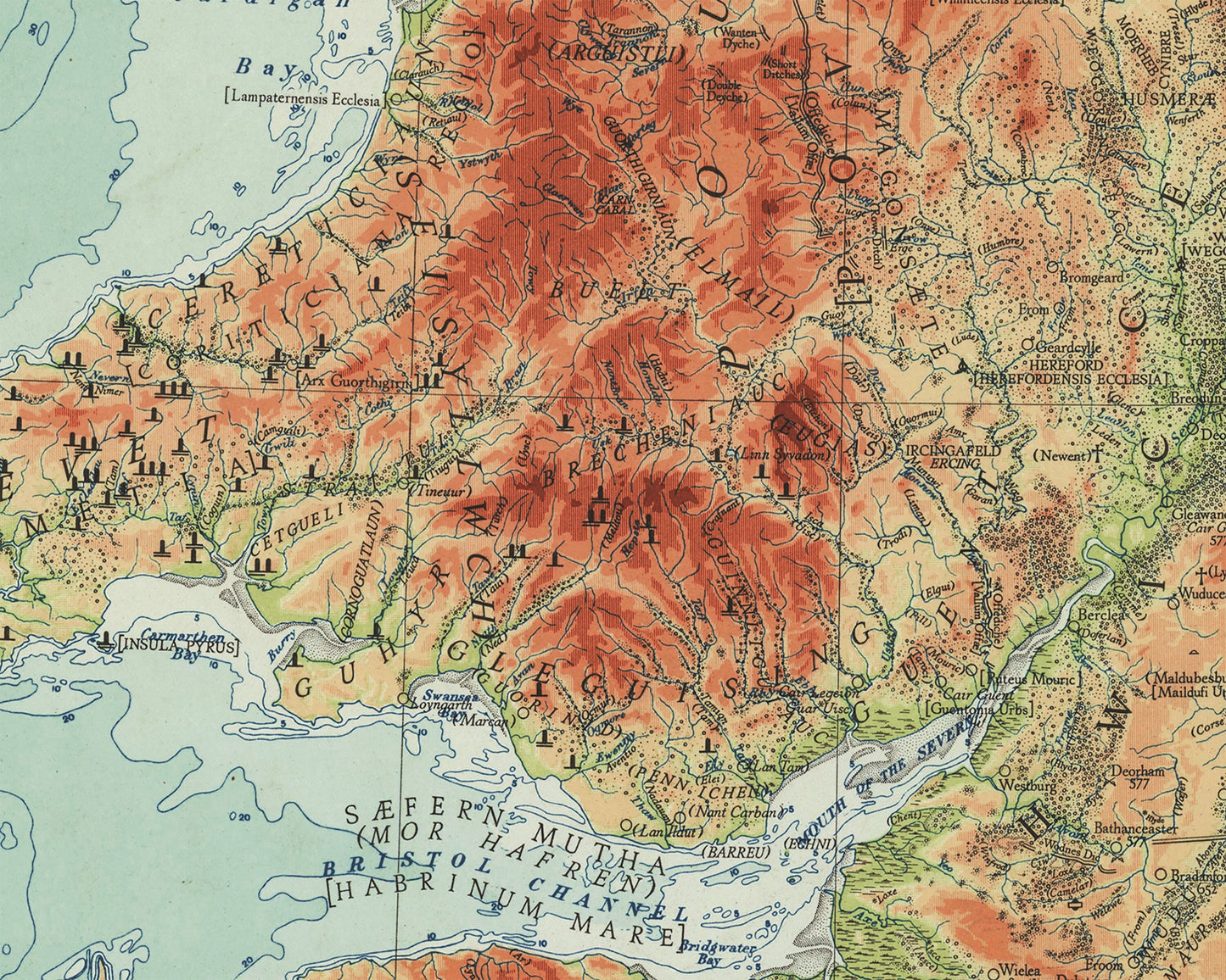
The entries on the map are derived from both archaeological and historical sources, and an attempt has been made to represent adequately both the Celtic and the Saxon aspects of the period. It is believed this is the first time such a complete picture of the Dark Ages has been represented on a map of Britain.
As you would expect from Ordnance Survey the topography of the land and its features is captured in great detail. The relief of the land is shown in gradients from green in lowland areas through to dark red for land above 3000 feet.
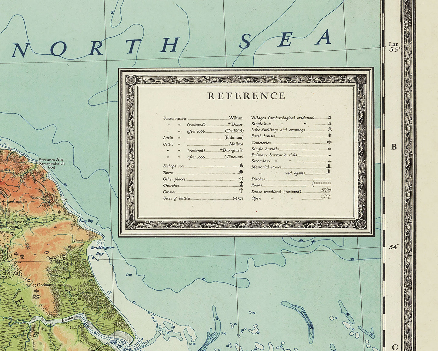
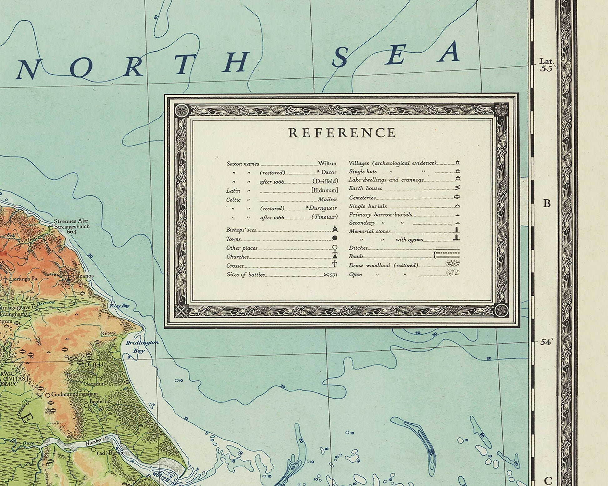
A fully referenced key is provided detailing Saxon, Latin and Celtic names. Dates of significant battles are marked along with towns, churches, roads, burial sites and many other numerous features.
This is a truly detailed and fascinating map for people who have an interest in this period of British history or indeed people who appreciate a colourful and striking map which is pleasing on the eye.
This is a highly sought after work and is sure to form an interesting conversation piece to any living room. This piece looks stunning mounted.
Share
