Classic Maps and Prints
Beautiful YORKSHIRE RIDINGS Map Emanuel Bowen 1750
Beautiful YORKSHIRE RIDINGS Map Emanuel Bowen 1750
Couldn't load pickup availability
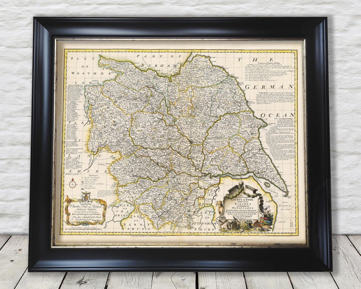
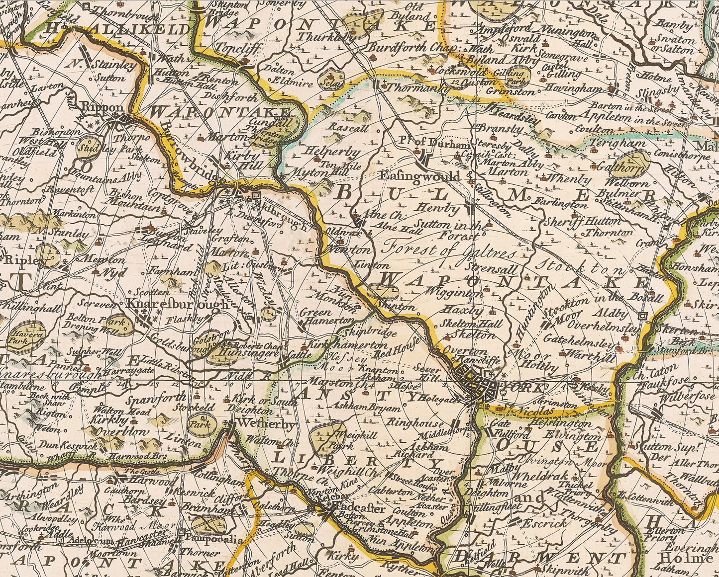
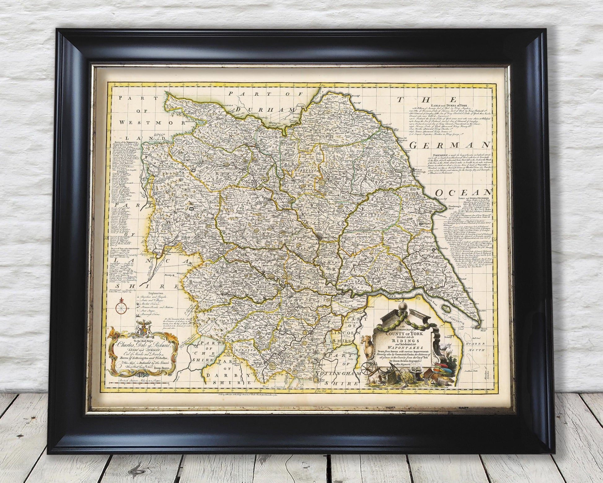
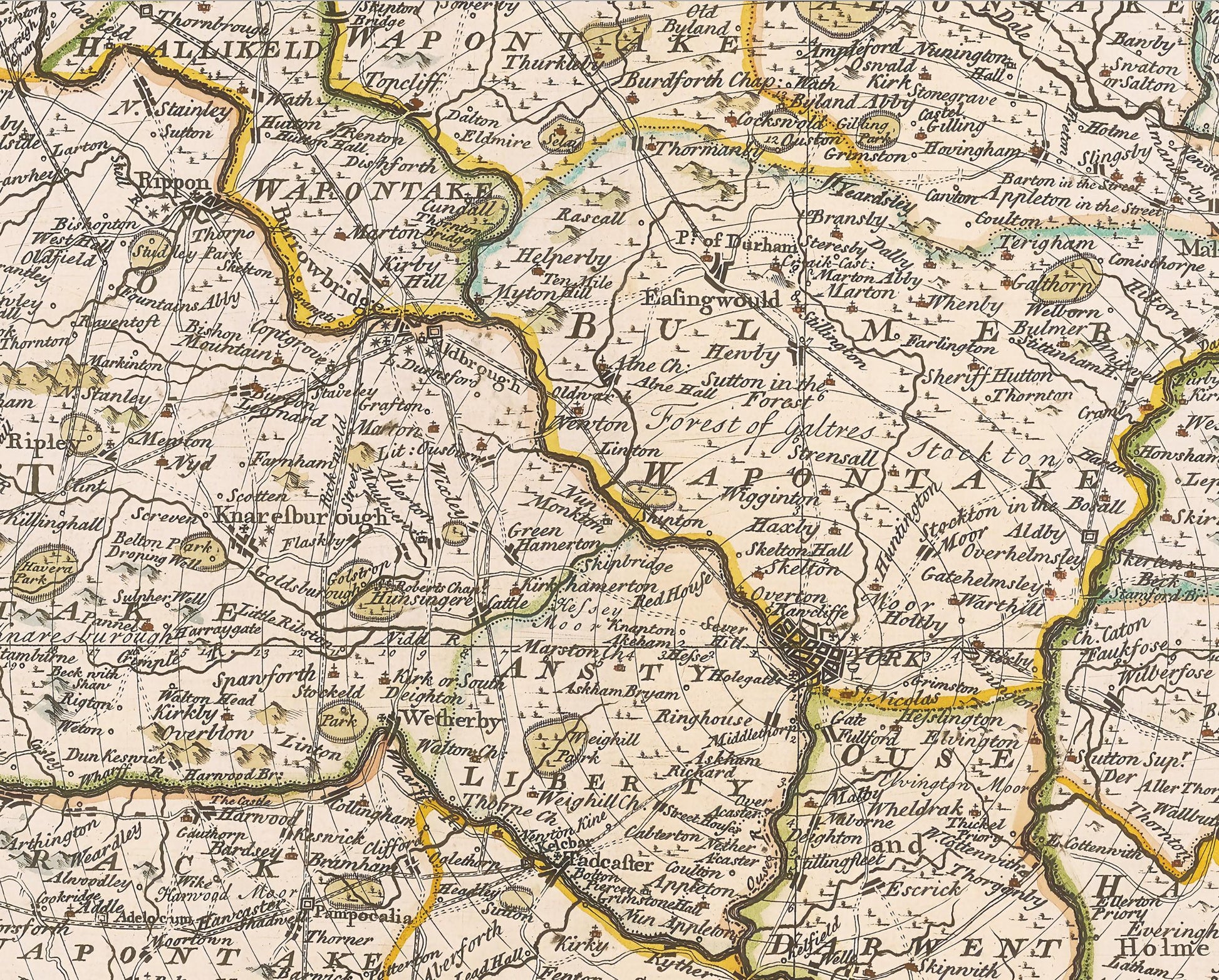
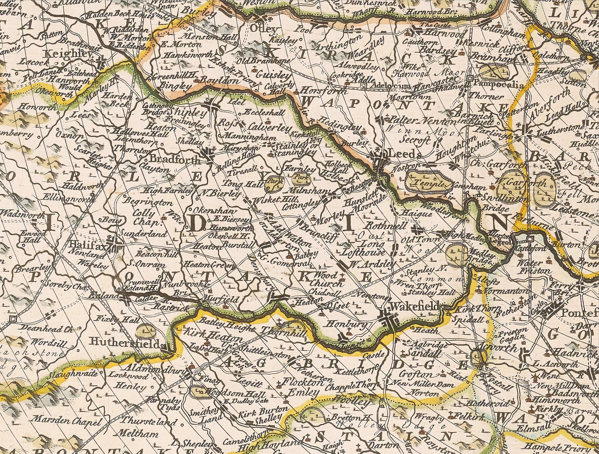
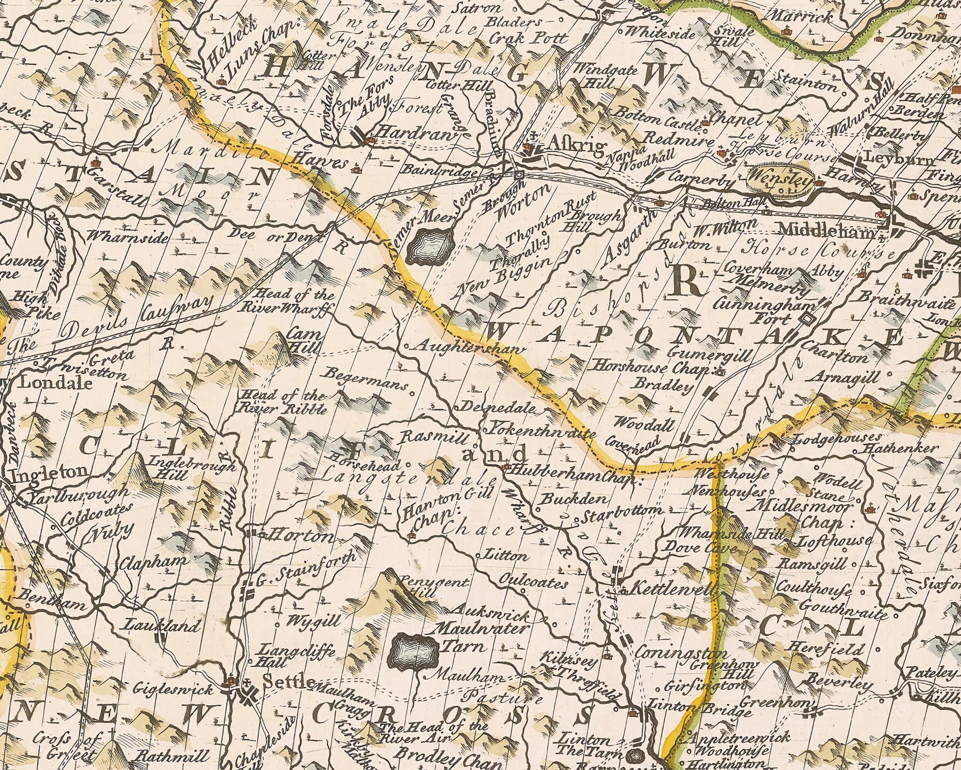
This is a beautiful, full-coloured version of Emanual Bowen's 1750 map which covers the entire 3 Ridings of Yorkshire. Perhaps not one of the better known cartographers but his works are of undoubtable quality. The map takes the City of York as its focal point and a series of concentric circles mark the distance in miles from the famed city.
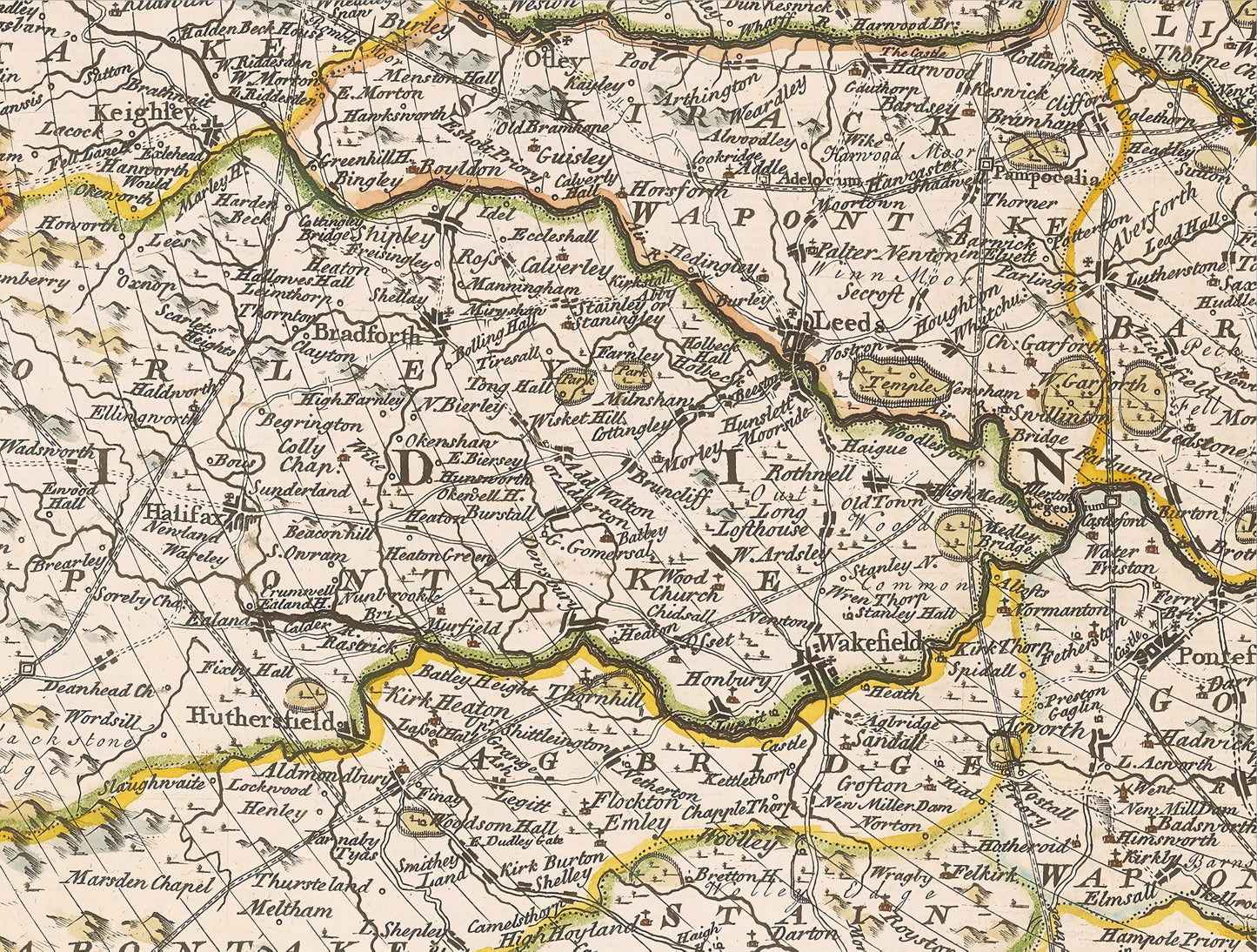
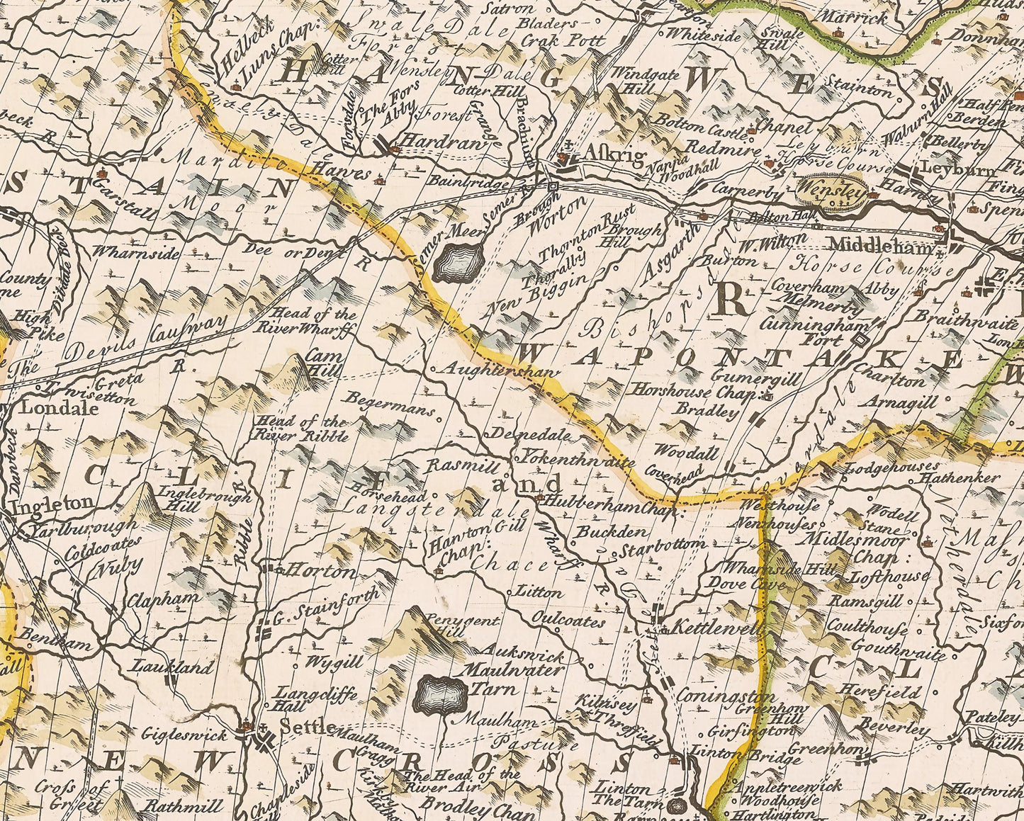
The map is further divided up into Wapontakes which are areas of land similarly called Hundreds in other parts of England. There are many, many villages, towns and cities marked on the map as are hill ranges, wooded areas, rivers and roads.
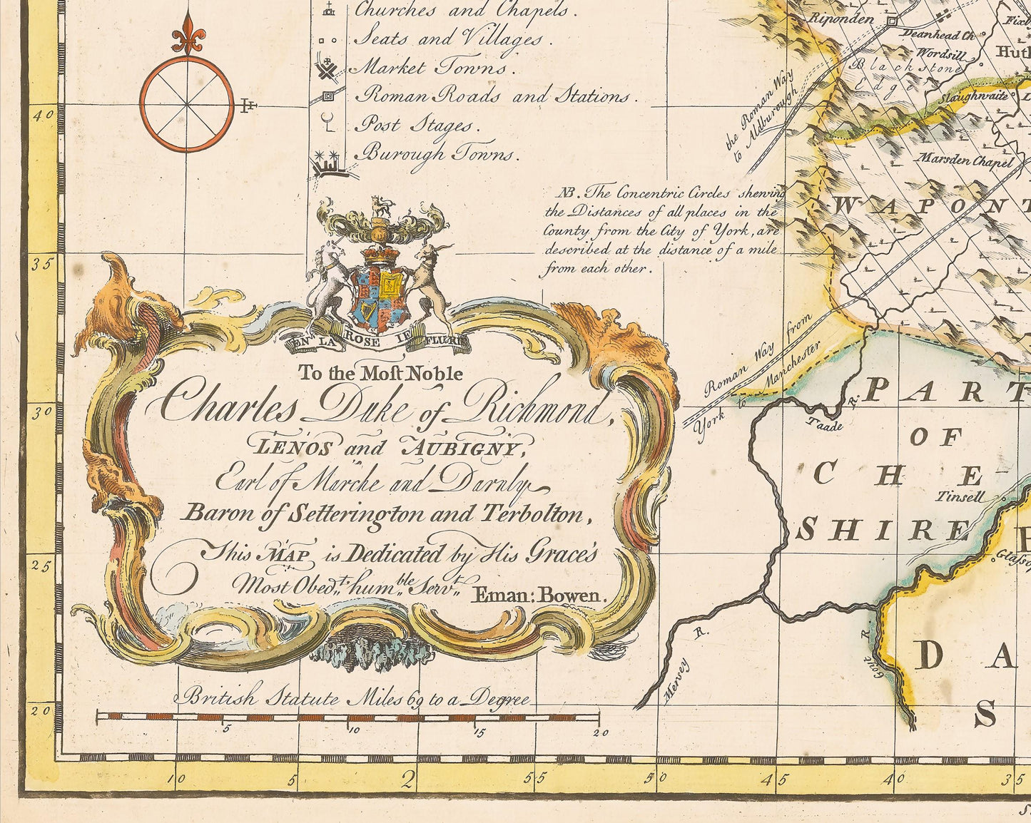
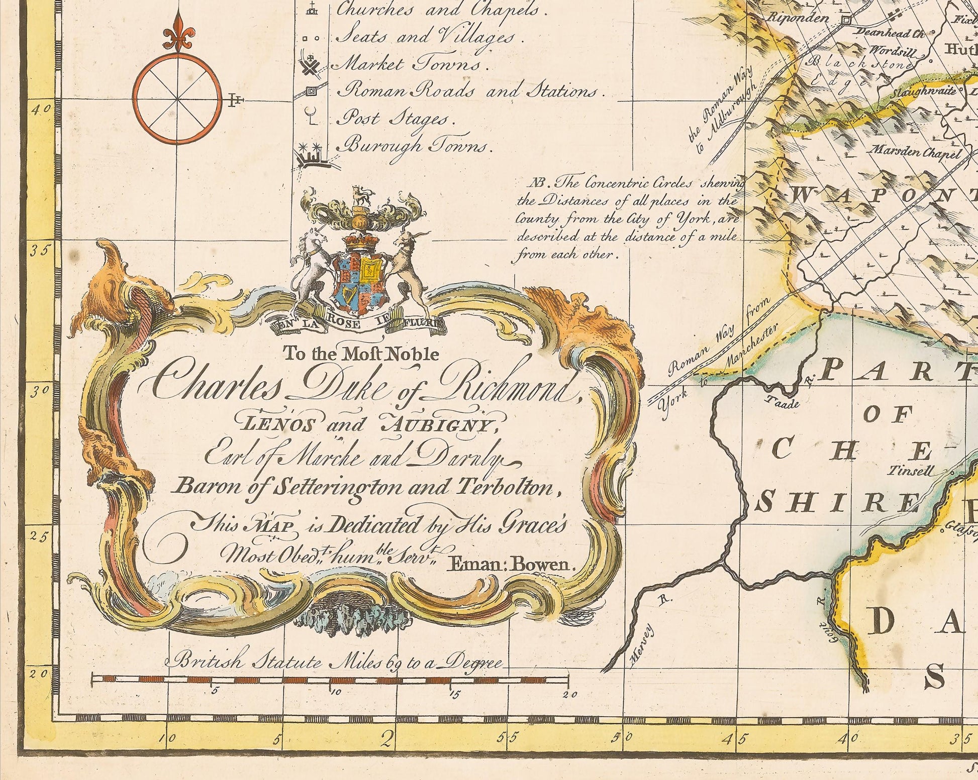
Around the borders are interesting notes about the county of Yorkshire, Earls and Dukes of York and Richmond and further Nobility, Baronets and Gentlemen. A key completes the work detailing market towns, Roman roads, burough towns and more.
This is a truly beautiful piece sure to be of interest to any proud 'Yorkie'. A highly sought-after work this is sure to form an interesting conversation piece to any living room and looks even more stunning in our 20" x 16" framed edition.
Share
