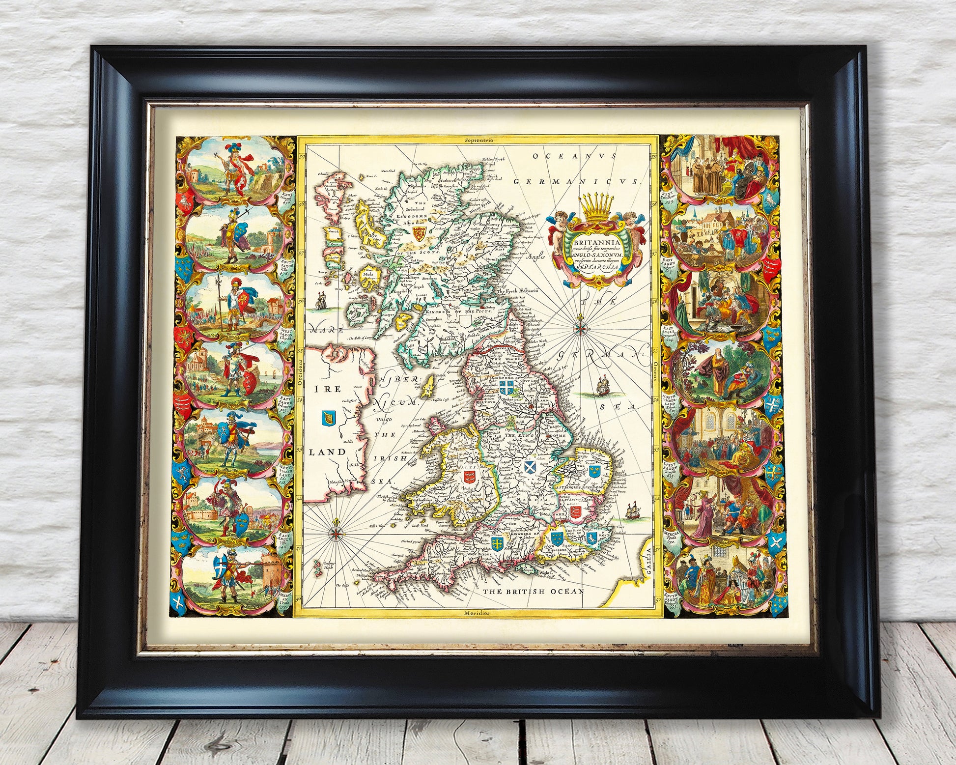
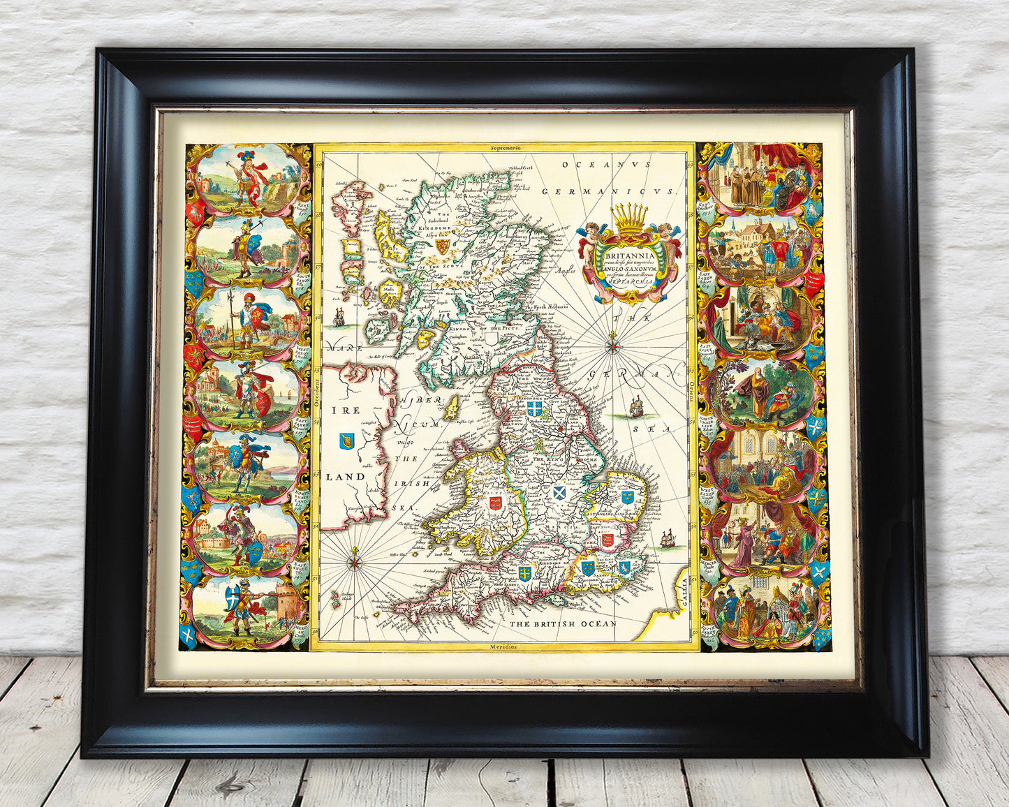
This Anglo Saxon Map by Jan Jansson depicts the history of the Anglo Saxon heptarchy including the kingdom of Wessex. It is an ideal choice for those interested in the study of the Anglo Saxon era of British history.
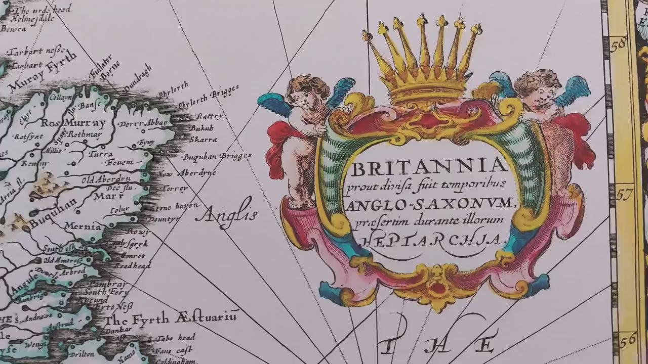
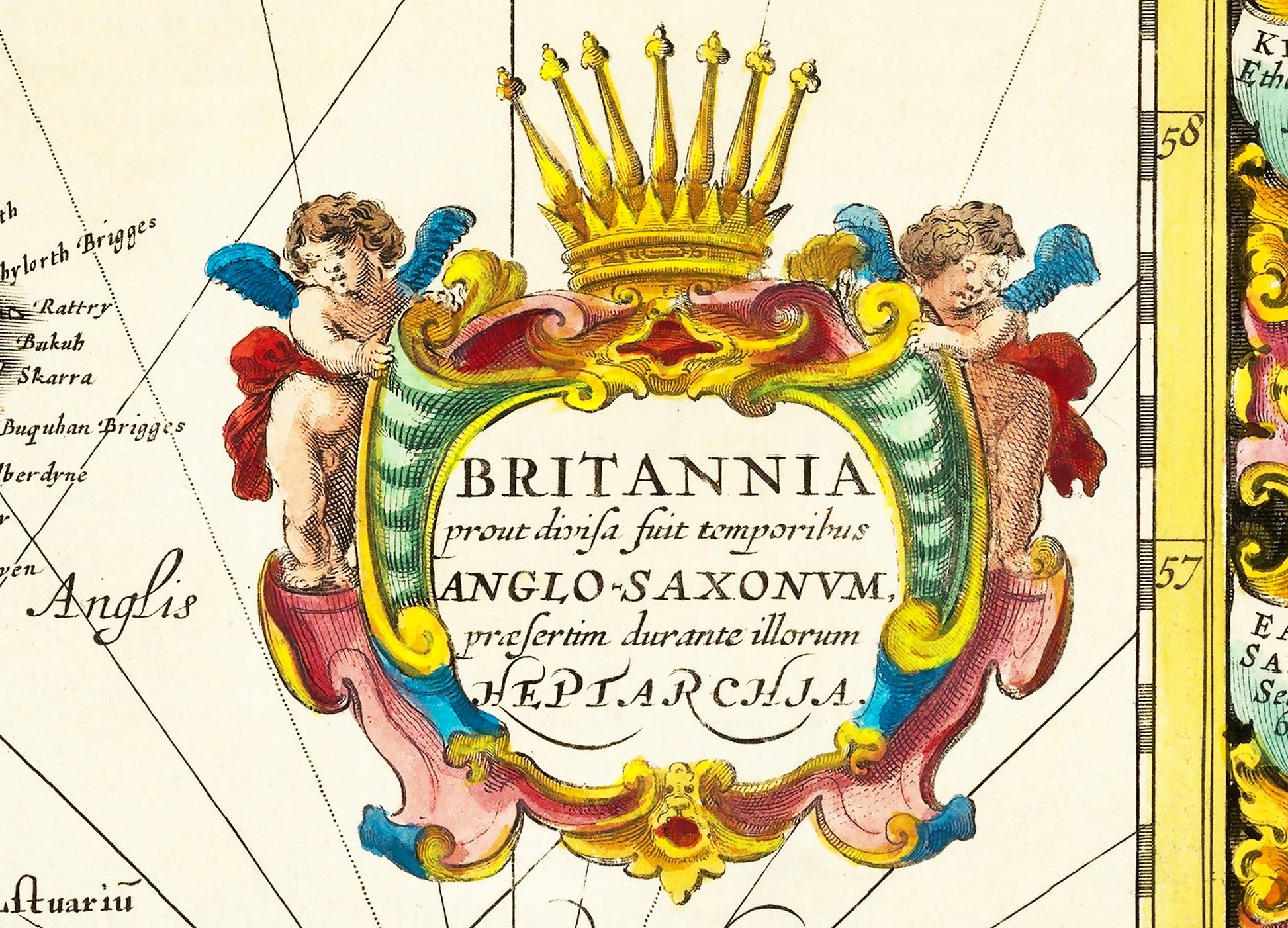
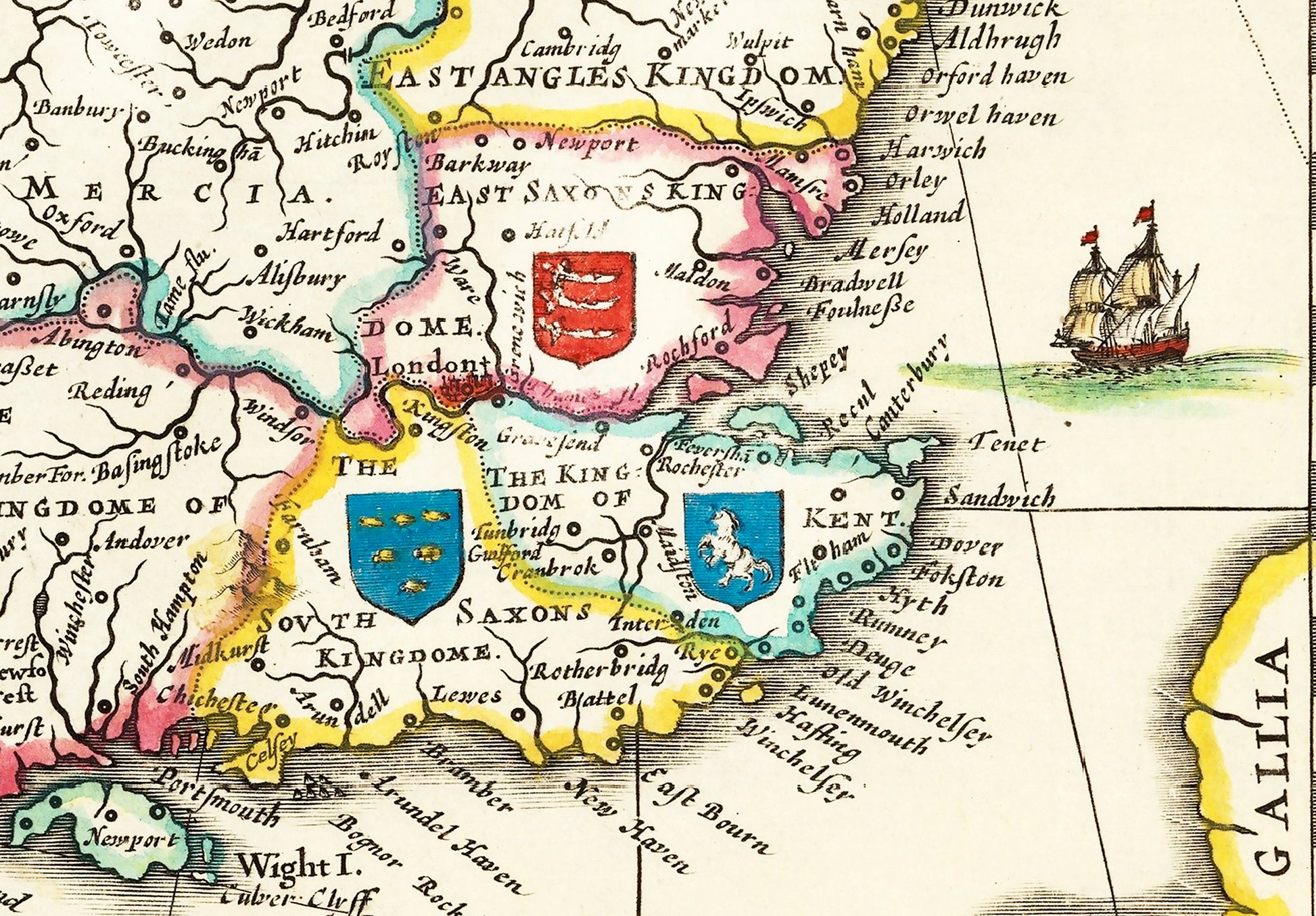
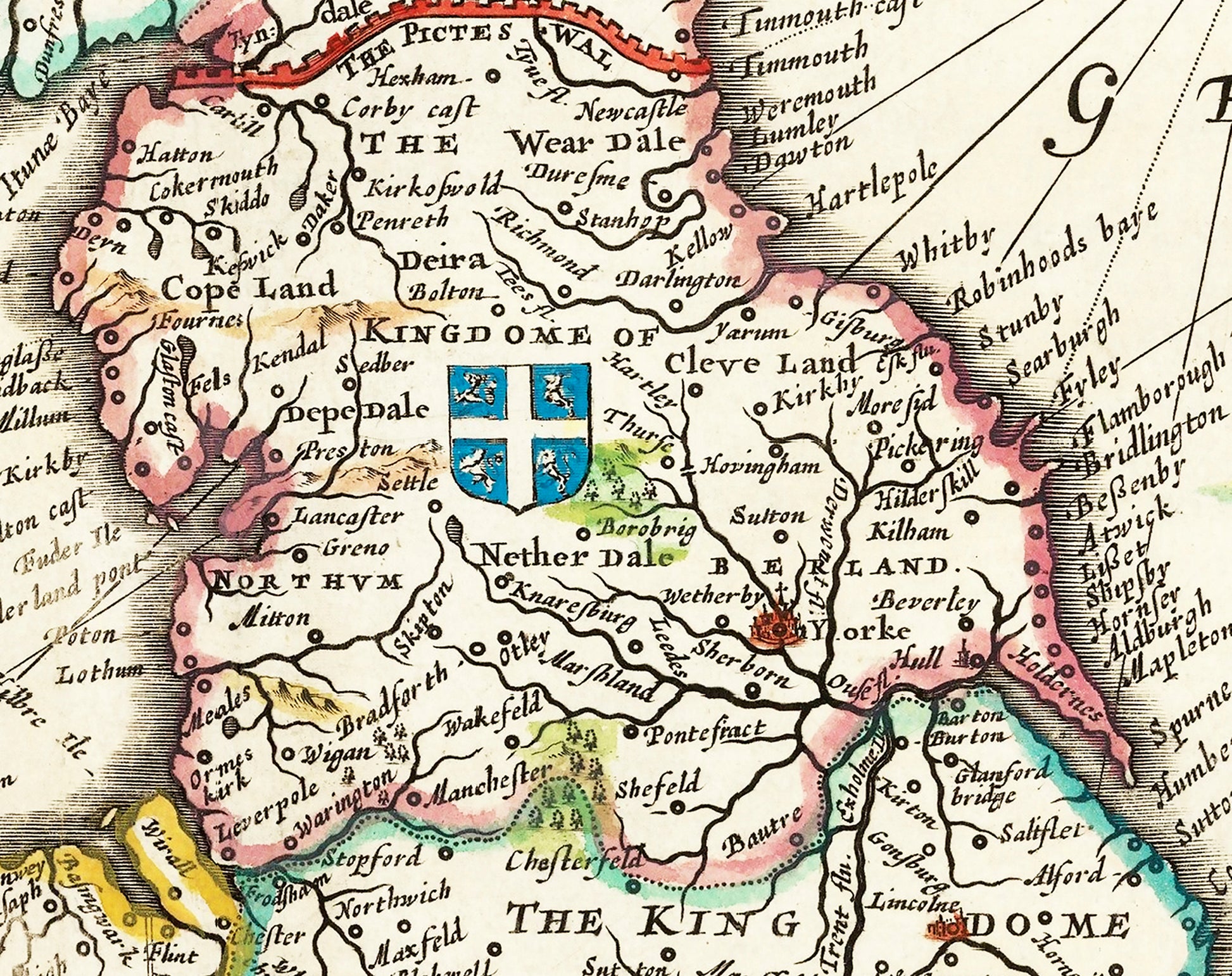
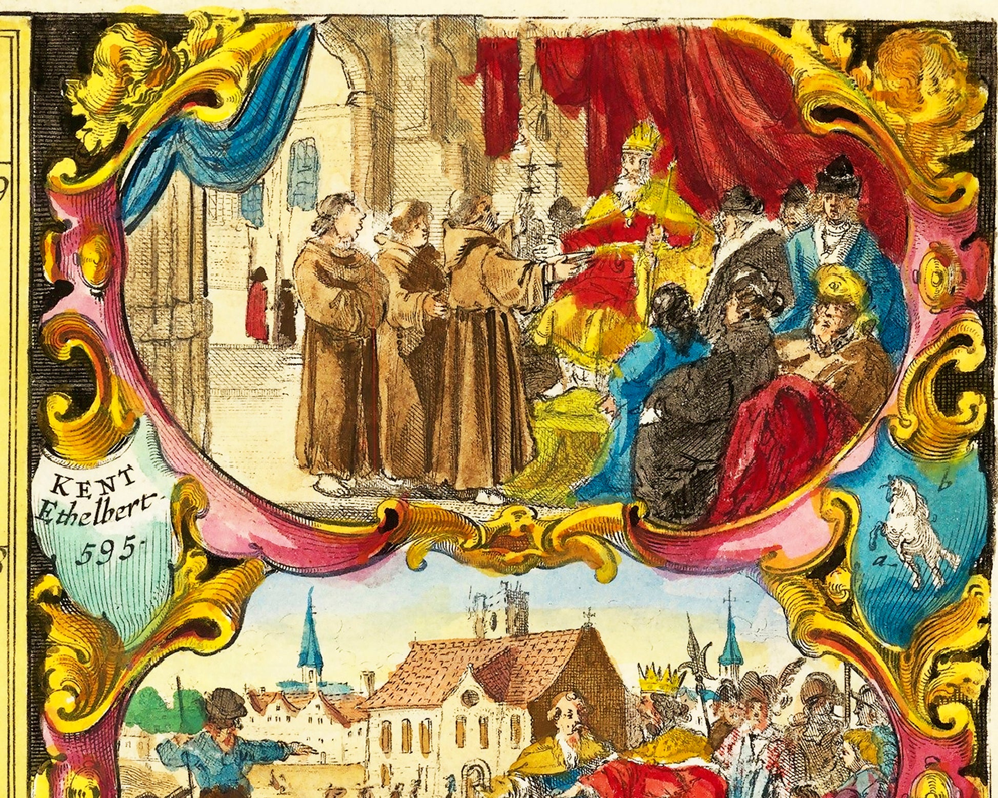
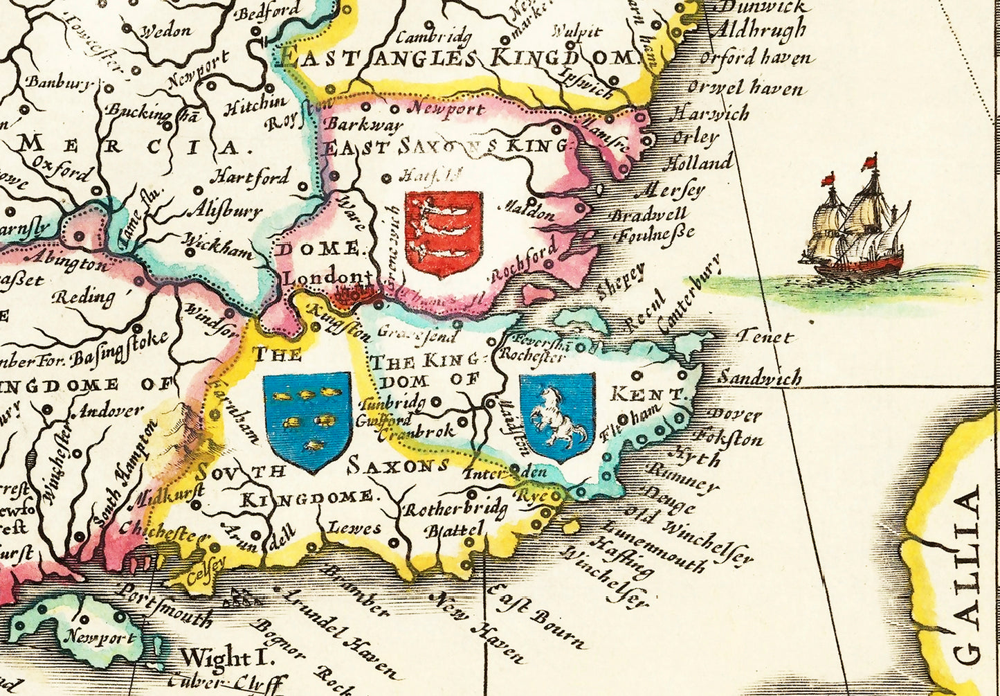
This spectacular map of the Saxon Kingdoms of Britain was produced Jan Jansson the renowned 17th Century Dutch geographer and publisher. During this time there was a renewed interest in the Anglo-Saxon period which stretched from around 410 until 1066. The Anglo-Saxon settlers, originally pagan, began to convert to Christianity from the late 6th and early 7th centuries. This map shows this transformation with the Pagan kings on the left hand side of the map and then the first Christian Anglo-Saxon kings or martyrs to the cause on the right hand side. The top right vignette shows king Ethelbert receiving the missionary Augustine from Rome. The Heptarchy refers to the seven Anglo-Saxon kingdoms being East Anglia, Mercia (modern day midlands), Northumberland (modern day northern England), Wessex/West Saxon (southwest England), East Saxon (Essex), Kent and South Saxon (Sussex). It was these seven kingdoms that eventually formed the country of England.